Hart County is a county located in the northeastern part of the U.S. state of Georgia. As of the 2020 census, the population was 25,828. The county seat is Hartwell.
Hart County was created December 7, 1853 and named for Nancy Hart. Of Georgia’s 159 counties, Hart County is the only one named after a woman. Lake Hartwell is also named for her.
Letters to Miss Celie in the movie The Color Purple (film) by Steven Spielberg, based on the novel The Color Purple by Alice Walker, are addressed to “Hartwell County, Georgia” suggesting that the movie is set either in Hartwell or Hart County.
| Name: | Hart County |
|---|---|
| FIPS code: | 13-147 |
| State: | Georgia |
| Founded: | 1853 |
| Named for: | Nancy Hart |
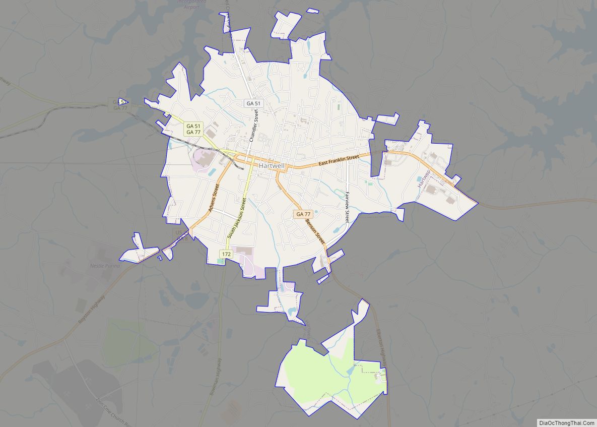
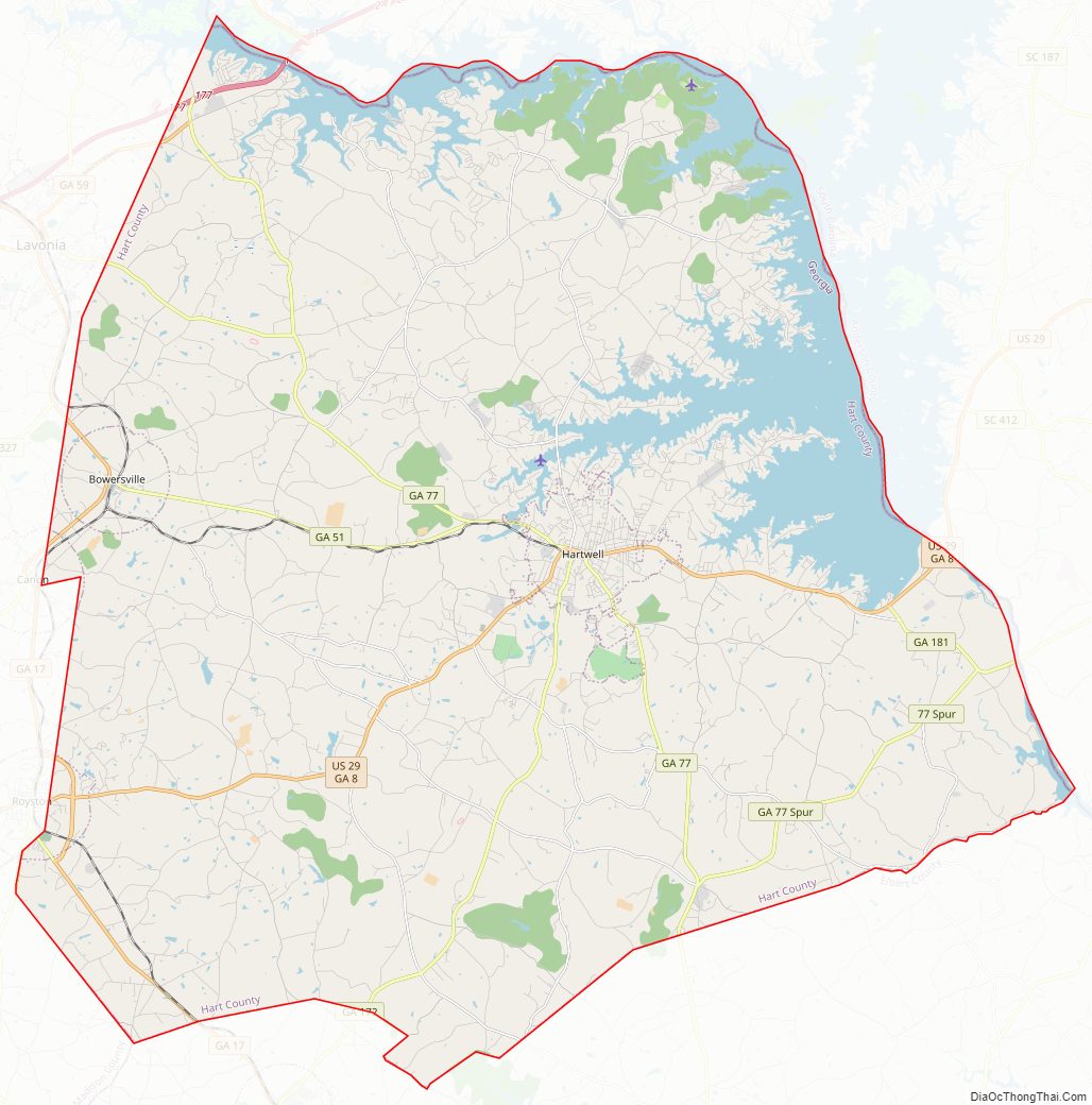
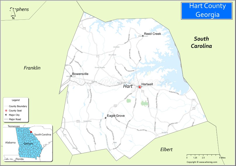
| Seat: | Hartwell |
| Largest city: | Hartwell |
| Total Area: | 257 sq mi (670 km²) |
| Land Area: | 232 sq mi (600 km²) |
| Total Population: | 25,828 |
| Population Density: | 111/sq mi (43/km²) |
| Time zone: | UTC−5 (Eastern) |
| Summer Time Zone (DST): | UTC−4 (EDT) |
| Website: | www.hartcountyga.gov |
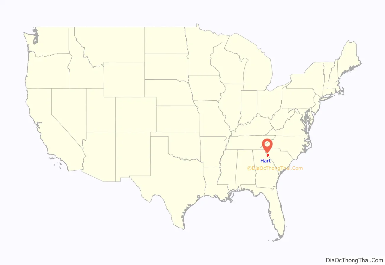
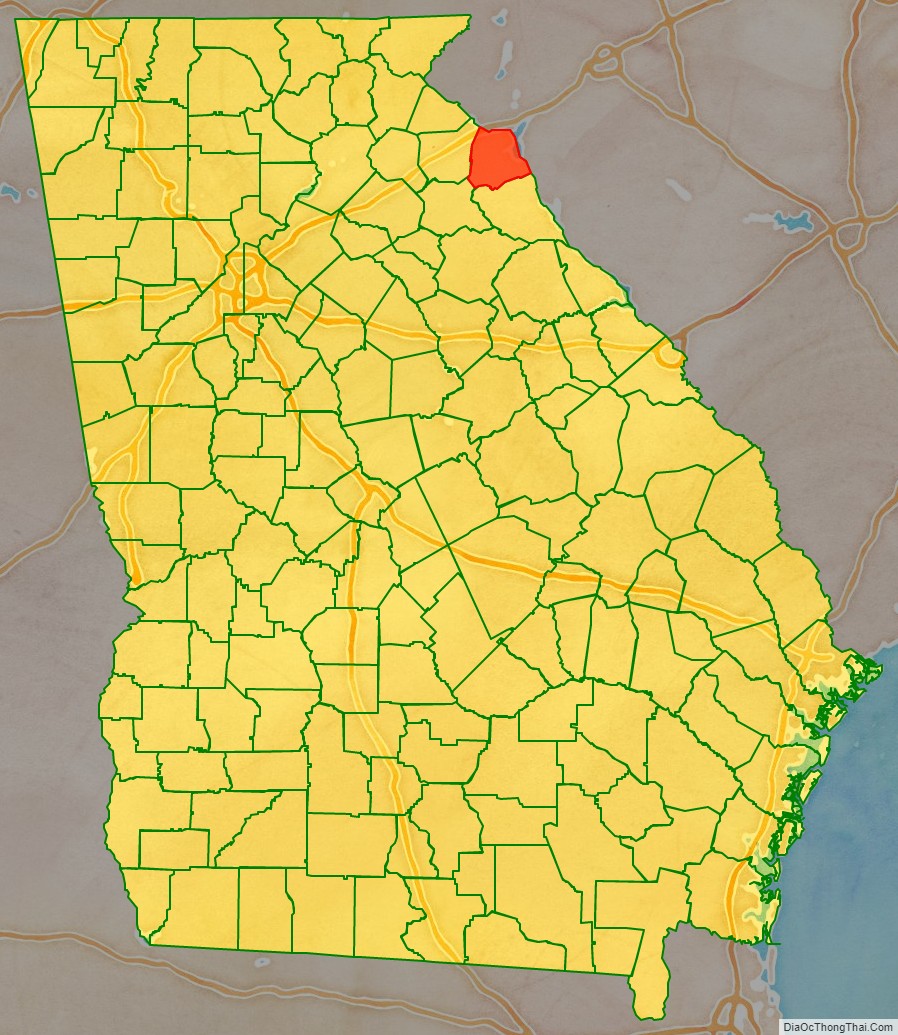
Hart County location map. Where is Hart County?
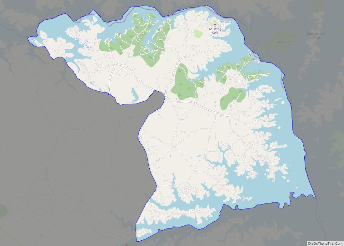
Hart County Road Map
Geography
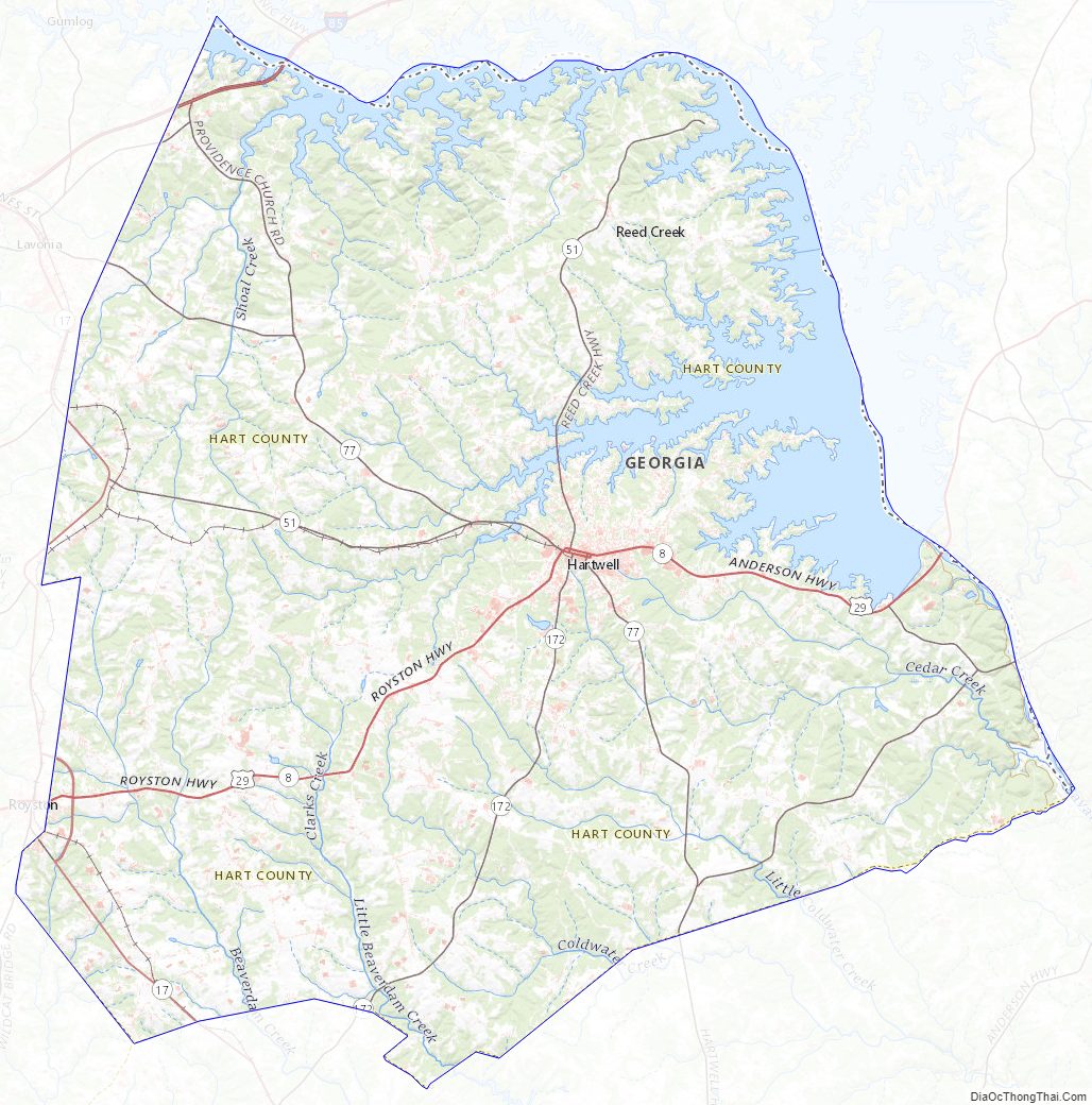
According to the U.S. Census Bureau, the county has a total area of 257 square miles (670 km), of which 232 square miles (600 km) is land and 25 square miles (65 km) (9.6%) is water. The county is located in the Piedmont region of the state.
Most of the southern three-quarters of Hart County is located in the Upper Savannah River sub-basin of the larger Savannah River basin, with the exception of two slivers of the county, south of Royston and west of Bowersville, which are located in the Broad River sub-basin of the Savannah River basin. The northern quarter of the county is located in the Tugaloo River sub-basin of the same Savannah River basin.
Major highways
- Interstate 85
- U.S. Route 29
- State Route 8
- State Route 17
- State Route 51
- State Route 59
- State Route 77
- State Route 77 Connector
- State Route 77 Spur
- State Route 172
- State Route 180
- State Route 281
- State Route 403 (unsigned designation for I-85)
Adjacent counties
- Oconee County, South Carolina (north)
- Anderson County, South Carolina (northeast)
- Elbert County (south)
- Madison County (southwest)
- Franklin County (west)
Hart County Topographic Map
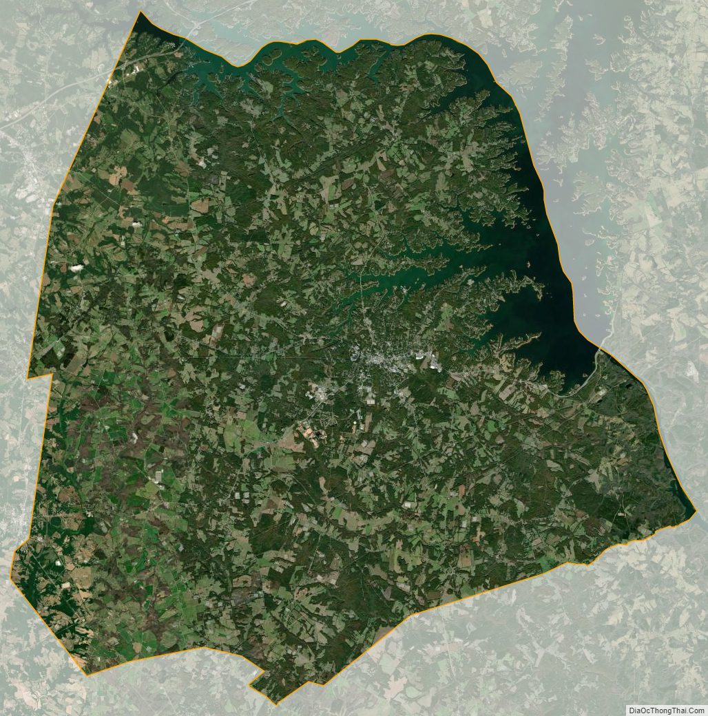
Hart County Satellite Map
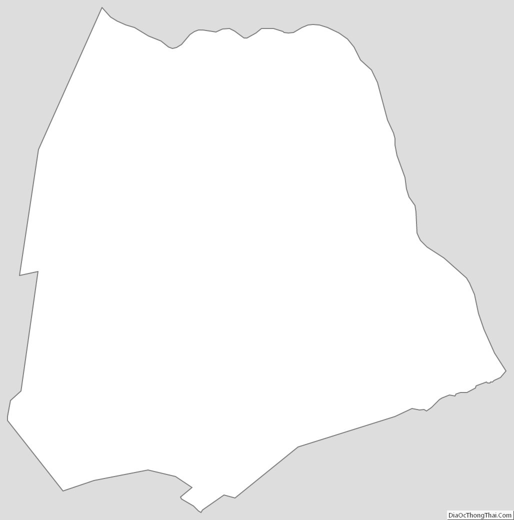
Hart County Outline Map