Furnas County is a county in the U.S. state of Nebraska. As of the 2020 United States Census, the population was 4,636. Its county seat is Beaver City. The county was named for Robert Wilkinson Furnas, the second governor of the state of Nebraska.
In the Nebraska license plate system, Furnas County is represented by the prefix 38 (it had the thirty-eighth-largest number of vehicles registered in the county when the license plate system was established in 1922).
| Name: | Furnas County |
|---|---|
| FIPS code: | 31-065 |
| State: | Nebraska |
| Founded: | 1873 |
| Named for: | Robert W. Furnas |
| Seat: | Beaver City |
| Largest city: | Cambridge |
| Total Area: | 721 sq mi (1,870 km²) |
| Land Area: | 719 sq mi (1,860 km²) |
| Total Population: | 4,604 |
| Population Density: | 6.6/sq mi (2.5/km²) |
| Time zone: | UTC−6 (Central) |
| Summer Time Zone (DST): | UTC−5 (CDT) |
| Website: | www.furnascounty.ne.gov |
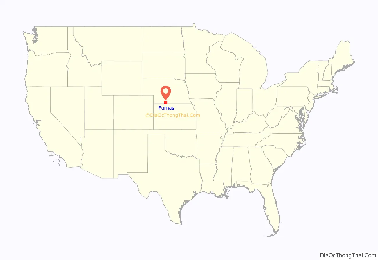
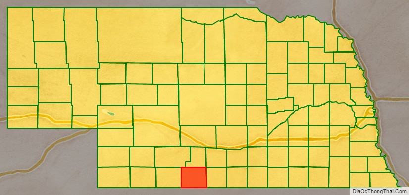
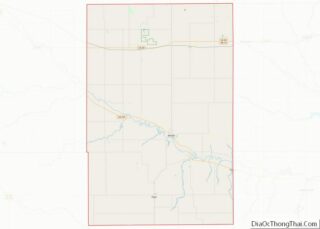
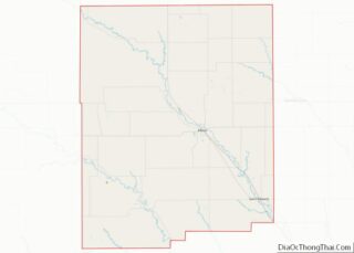
Furnas County location map. Where is Furnas County?
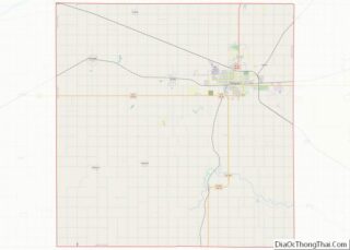
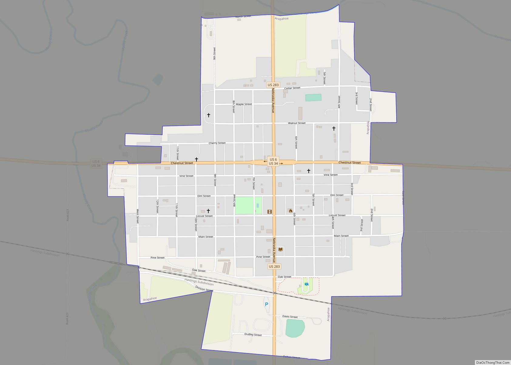
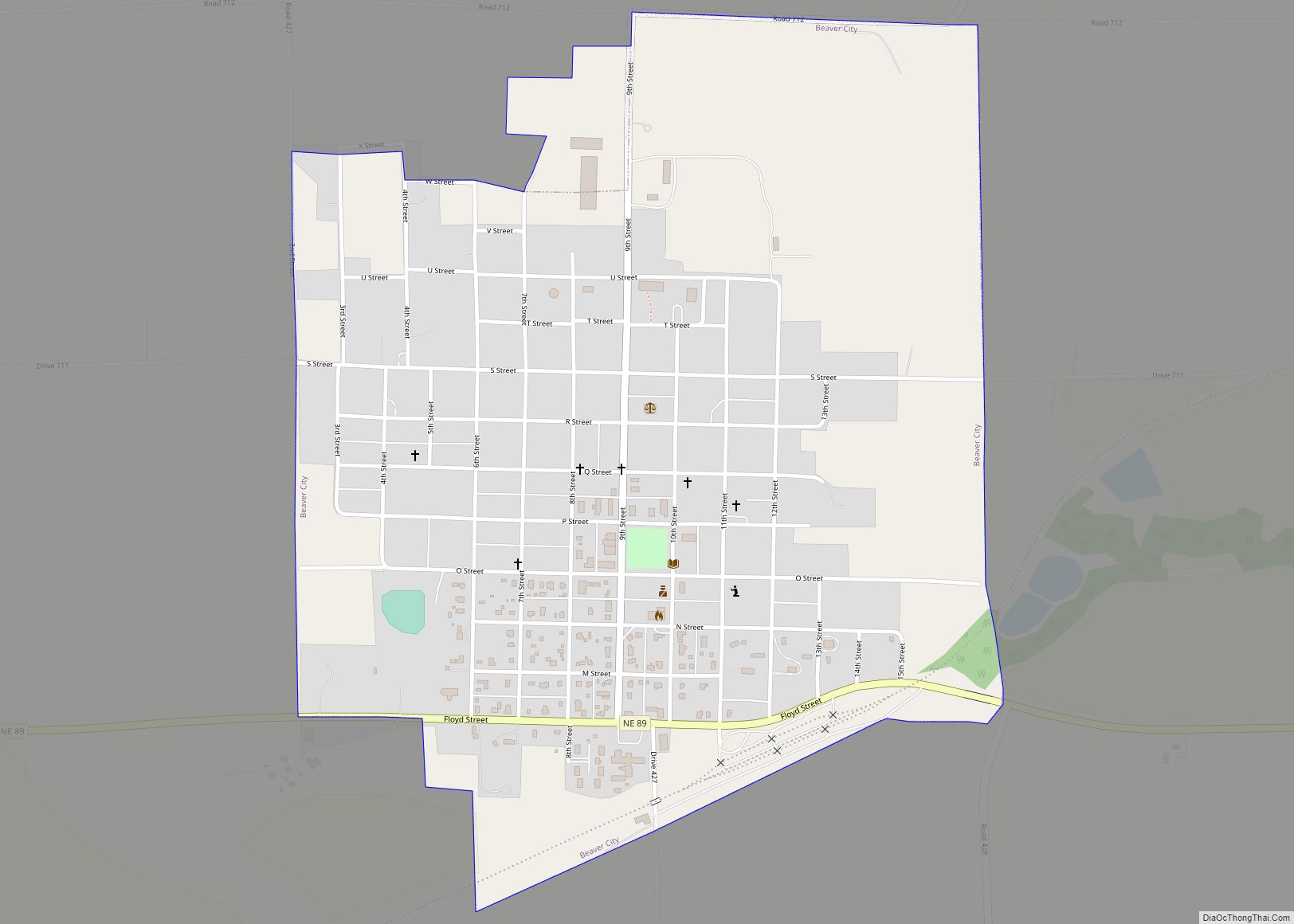
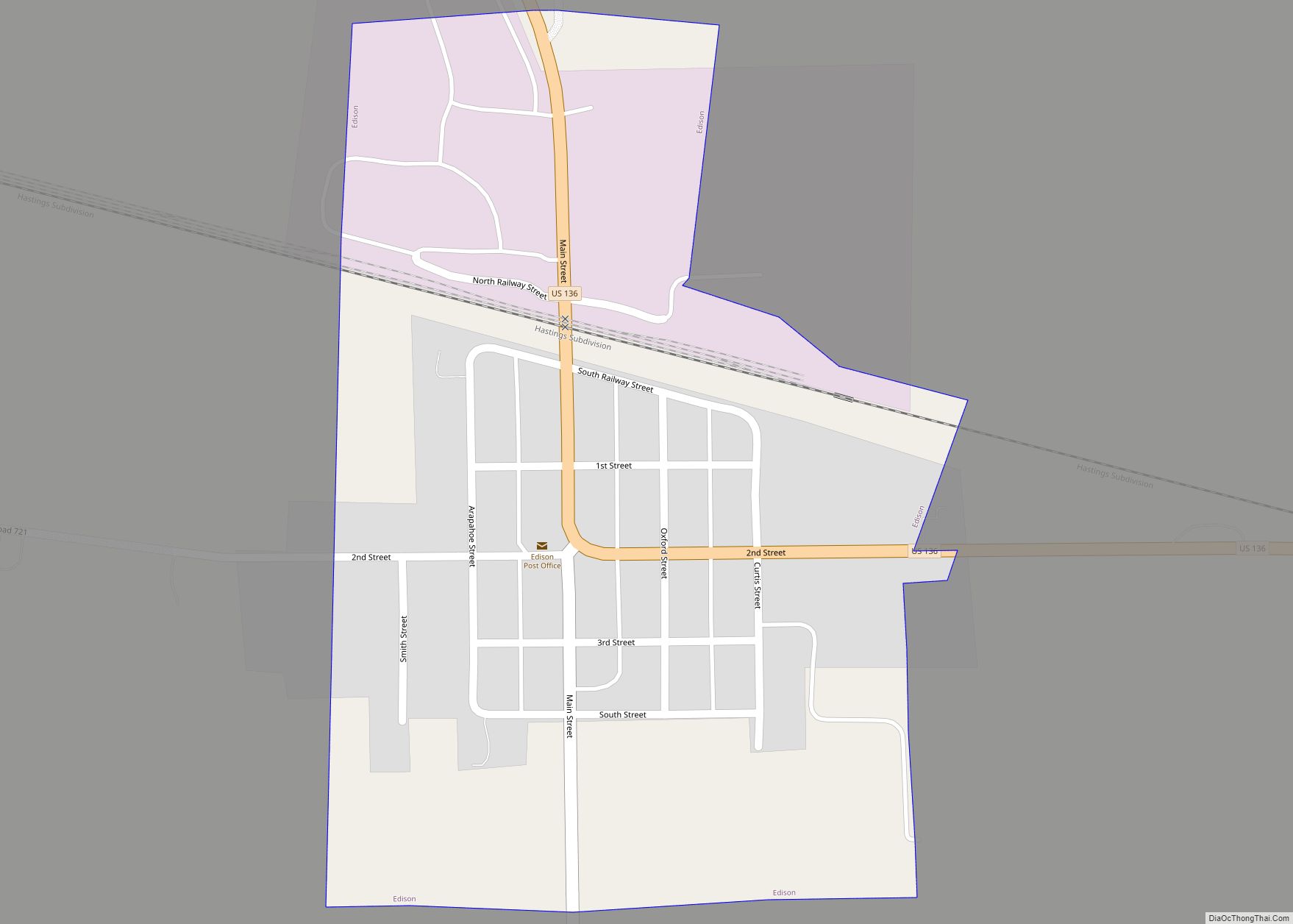
Furnas County Road Map
Geography
Furnas County lies on the south line of Nebraska. The south boundary line of Furnas County abuts the north boundary line of the state of Kansas. The Republican River flows eastward across the upper central part of the county.
According to the US Census Bureau, the county has an area of 721 square miles (1,870 km), of which 719 square miles (1,860 km) is land and 1.5 square miles (3.9 km) (0.2%) is water.
Major highways
- U.S. Highway 6
- U.S. Highway 34
- U.S. Highway 136
- U.S. Highway 283
- Nebraska Highway 46
- Nebraska Highway 47
- Nebraska Highway 89
Adjacent counties
- Harlan County – east
- Norton County, Kansas – south
- Decatur County, Kansas – southwest
- Red Willow County – west
- Frontier County – northwest
- Gosper County – north
- Phelps County – northeast
