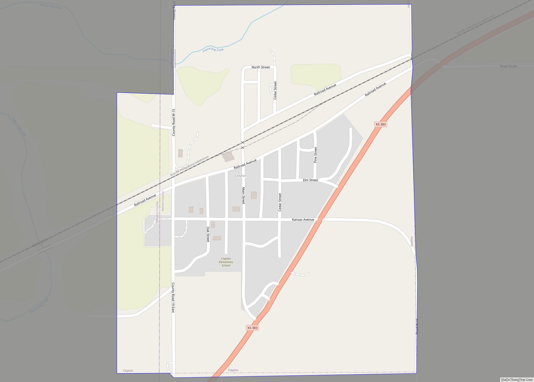
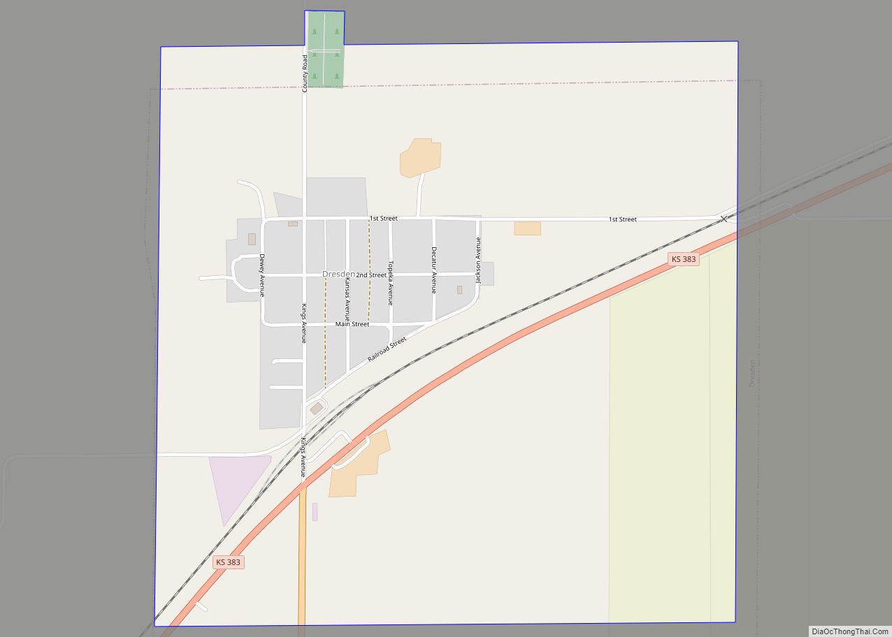
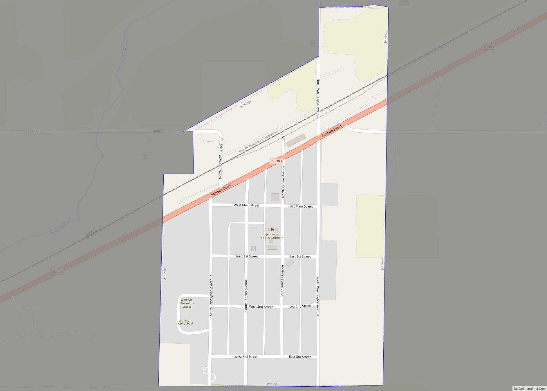
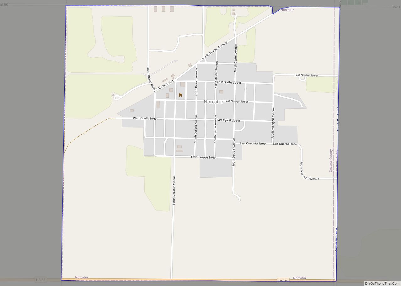
Decatur County (county code DC) is a county located in Northwest Kansas. As of the 2020 census, the county population was 2,764. Its county seat and most populous city is Oberlin. The county is named in honor of Commodore Stephen Decatur, Jr.
| Name: | Decatur County |
|---|---|
| FIPS code: | 20-039 |
| State: | Kansas |
| Founded: | March 20, 1873 |
| Named for: | Stephen Decatur, Jr. |
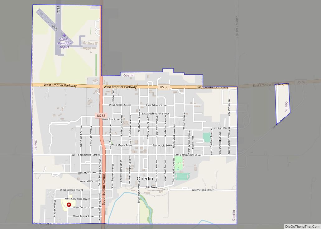
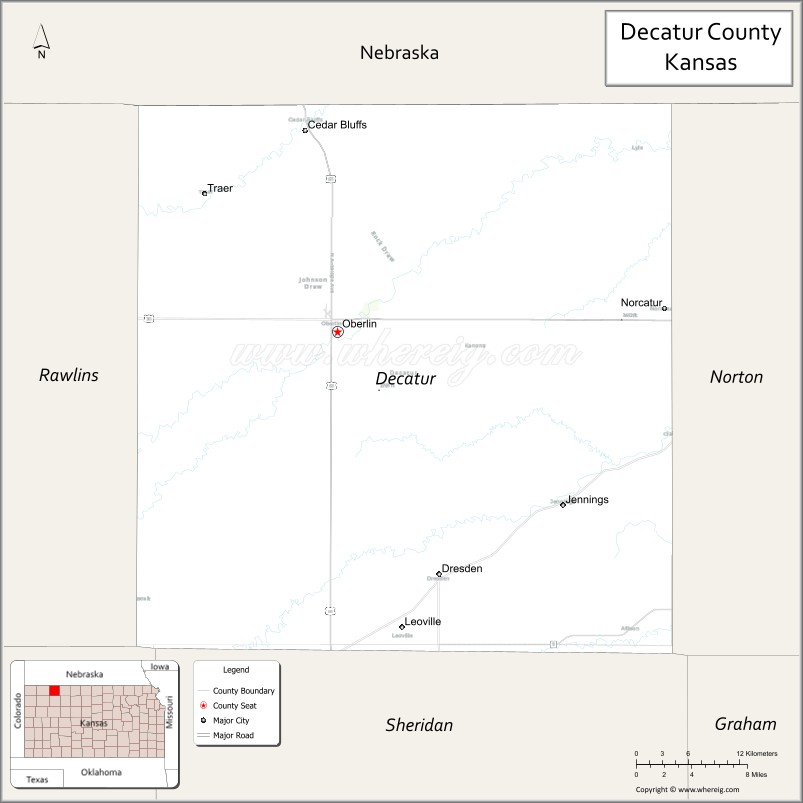
| Seat: | Oberlin |
| Largest city: | Oberlin |
| Total Area: | 894 sq mi (2,320 km²) |
| Land Area: | 894 sq mi (2,320 km²) |
| Total Population: | 2,764 |
| Population Density: | 3.1/sq mi (1.2/km²) |
| Time zone: | UTC−6 (Central) |
| Summer Time Zone (DST): | UTC−5 (CDT) |
| Website: | oberlinks.com |
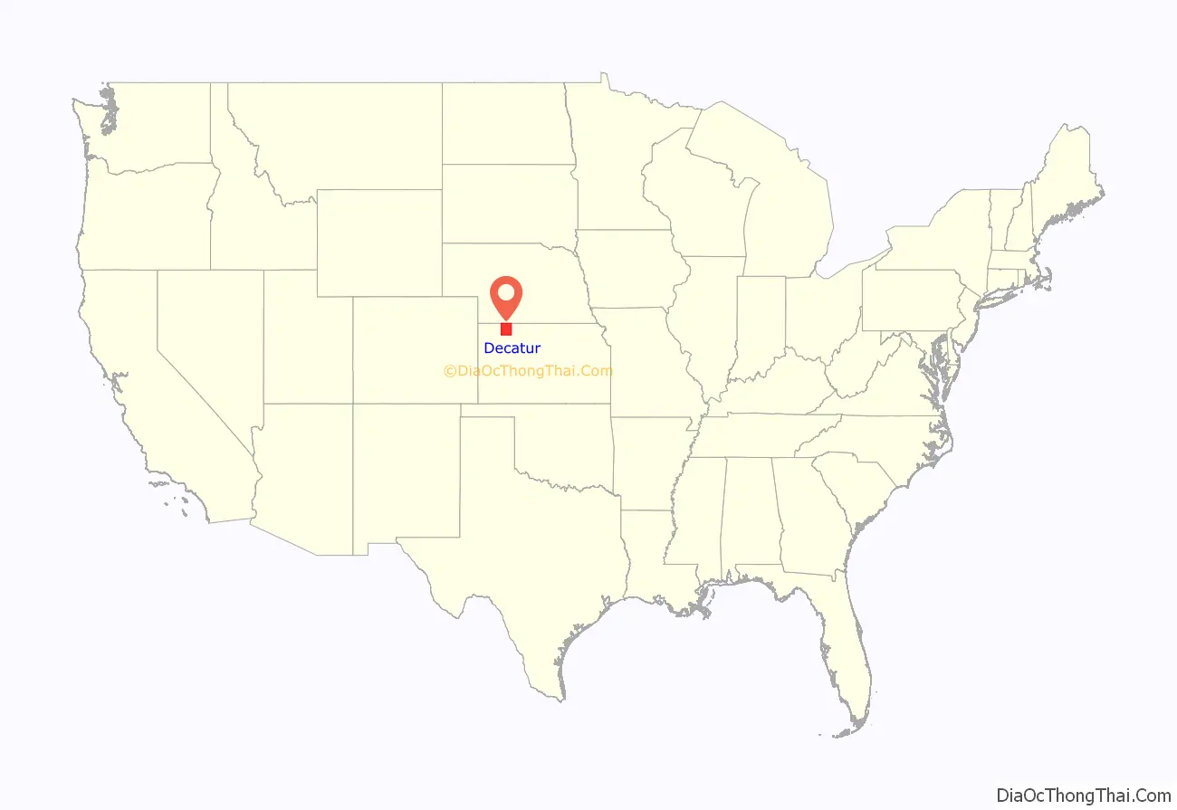
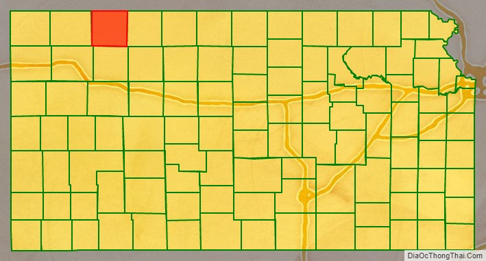
Decatur County location map. Where is Decatur County?
History
Early history
For many millennia, the Great Plains of North America was inhabited by nomadic Native Americans. From the 16th century to 18th century, the Kingdom of France claimed ownership of large parts of North America. In 1762, after the French and Indian War, France secretly ceded New France to Spain, per the Treaty of Fontainebleau.
19th century
In 1802, Spain returned most of the land to France, but keeping title to about 7,500 square miles. In 1803, most of the land for modern day Kansas was acquired by the United States from France as part of the 828,000 square mile Louisiana Purchase for 2.83 cents per acre.
In 1854, the Kansas Territory was organized, then in 1861 Kansas became the 34th U.S. state. Decatur County was established March 20, 1873 and organized on December 15, 1879. It is named for the Navy war hero Commodore Stephen Decatur, Jr., who served during the First Barbary War and the Second Barbary War and the War of 1812.
In 1878, the Sappa Creek valley in Decatur county was the scene of the last raid by Native Americans (Indians) in Kansas. In the Northern Cheyenne Exodus after the Battle of Punished Woman’s Fork, a band of Cheyenne needing horses and provisions raged through the valley, killing more than 30 civilians and raping several woman. Several Cheyenne elderly, women, and children were also killed in the region by soldiers and civilians. In Oberlin, the Decatur County Last Indian Raid Museum commemorates the Cheyenne raid.
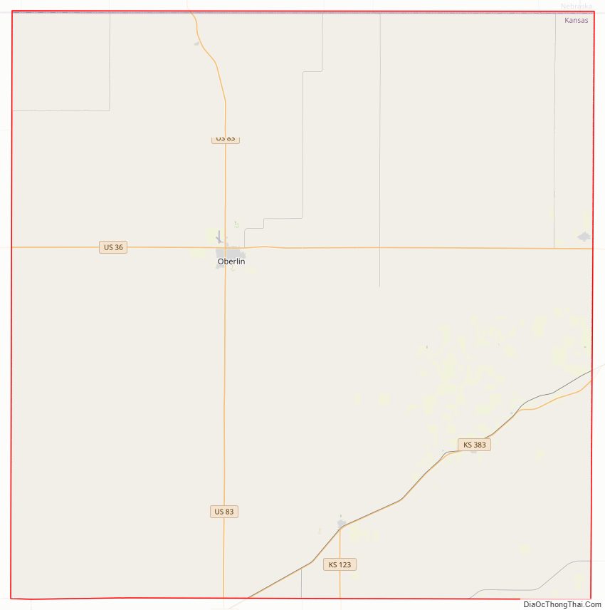
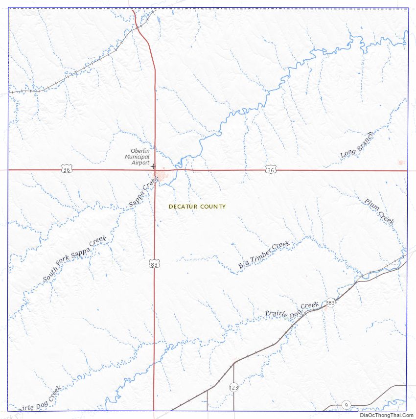
Decatur County Road Map
Geography
According to the U.S. Census Bureau, the county has a total area of 894 square miles (2,320 km), of which 894 square miles (2,320 km) is land and 0.6 square miles (1.6 km) (0.07%) is water.
Adjacent counties
- Red Willow County, Nebraska (north)
- Furnas County, Nebraska (northeast)
- Norton County (east)
- Sheridan County (south)
- Thomas County (southwest)
- Rawlins County (west)
Decatur County Topographic Map
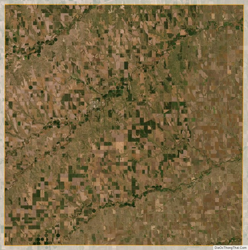
Decatur County Satellite Map
Decatur County Outline Map