Gallia County (pronunciation: GAL-yuh) is a county located in the U.S. state of Ohio. As of the 2020 census, the population was 29,220. Its county seat and largest village is Gallipolis.
Named after the French people who originally settled there, its name “Gallia” is the Latin word for Gaul, the ancient region of Western Europe that included present day France. Gallia County is part of the Point Pleasant, WV-OH Micropolitan Statistical Area.
| Name: | Gallia County |
|---|---|
| FIPS code: | 39-053 |
| State: | Ohio |
| Founded: | March 25, 1803 |
| Named for: | the Latin name for France |
| Seat: | Gallipolis |
| Total Area: | 471 sq mi (1,220 km²) |
| Land Area: | 467 sq mi (1,210 km²) |
| Total Population: | 29,220 |
| Population Density: | 62/sq mi (24/km²) |
| Time zone: | UTC−5 (Eastern) |
| Summer Time Zone (DST): | UTC−4 (EDT) |
| Website: | www.gallianet.net |
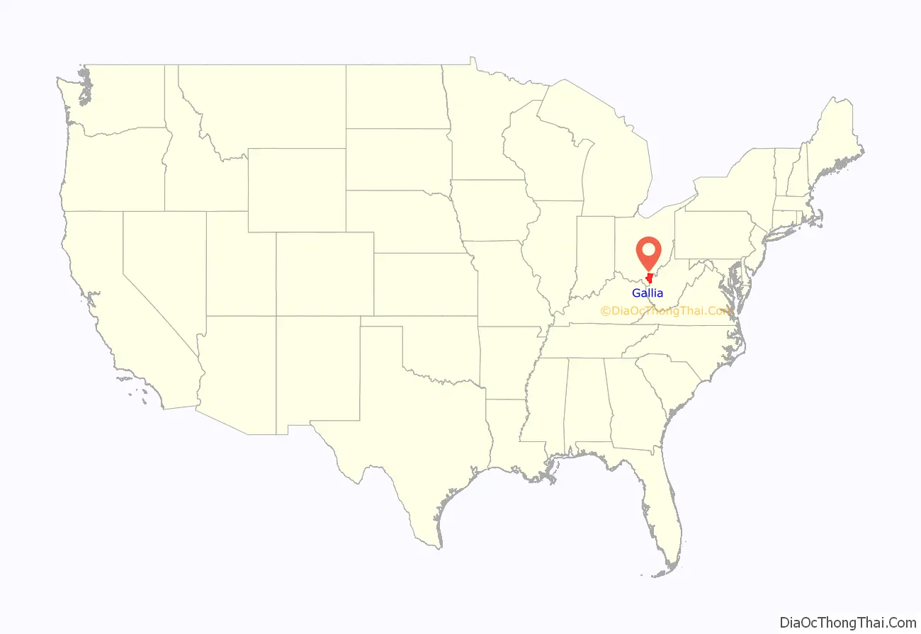
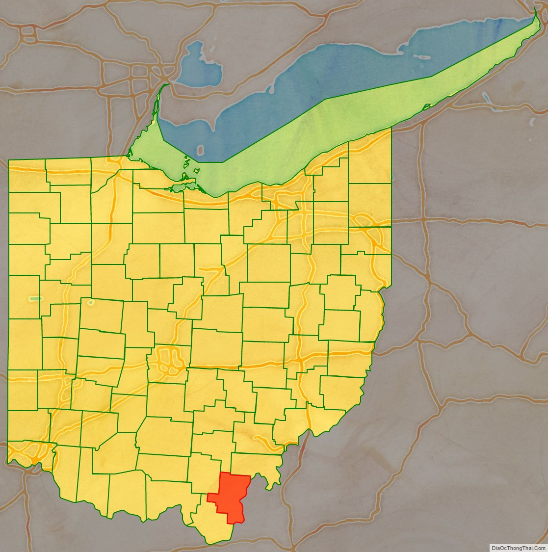
Gallia County location map. Where is Gallia County?
History
Gallia County was formed on March 25, 1803, from portions of Adams and Washington counties. Gallia County had originally been settled by French immigrants, who named the county “Gallia,” the Latin name for Gaul, the ancient region of Western Europe which included present day France.
In the 19th century, the county was settled by numerous migrants from the Upper South, who traveled to the territory by the Ohio River. In the antebellum years, some of its towns became centers of settlement by African Americans, both free blacks (some also from the South) and refugee slaves who had escaped their owners and come across the river to a free state.
In 1818 a group from Wales settled in Gallia County, with Welsh remaining Gallia County’s most common second language until 1970.
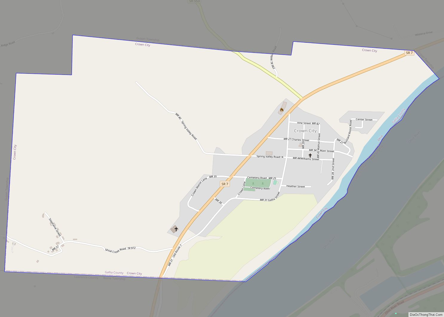
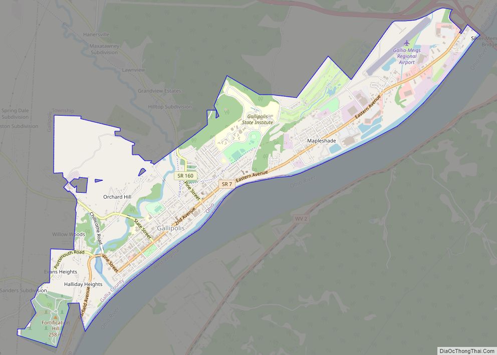
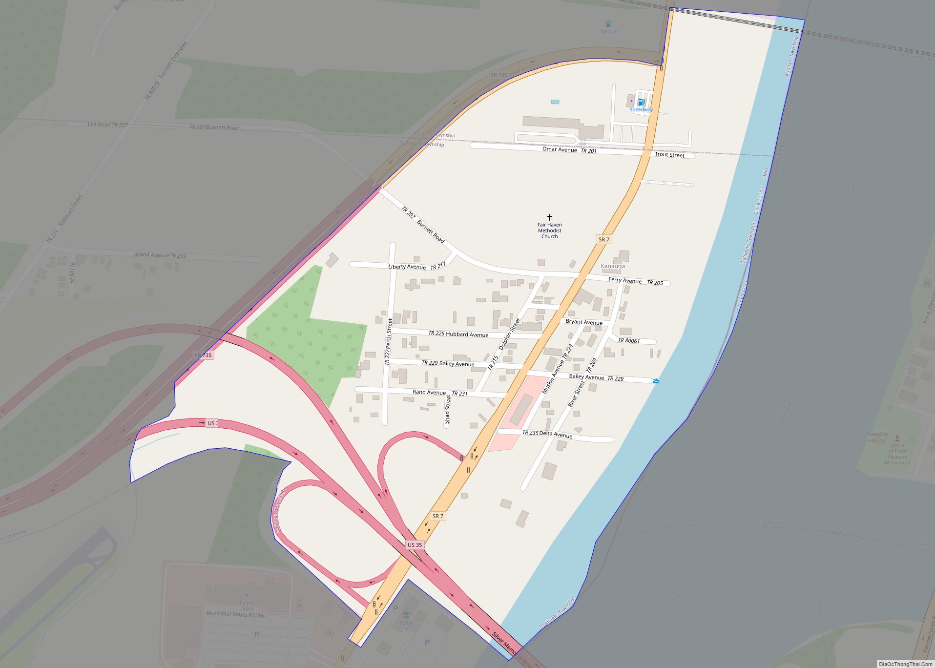
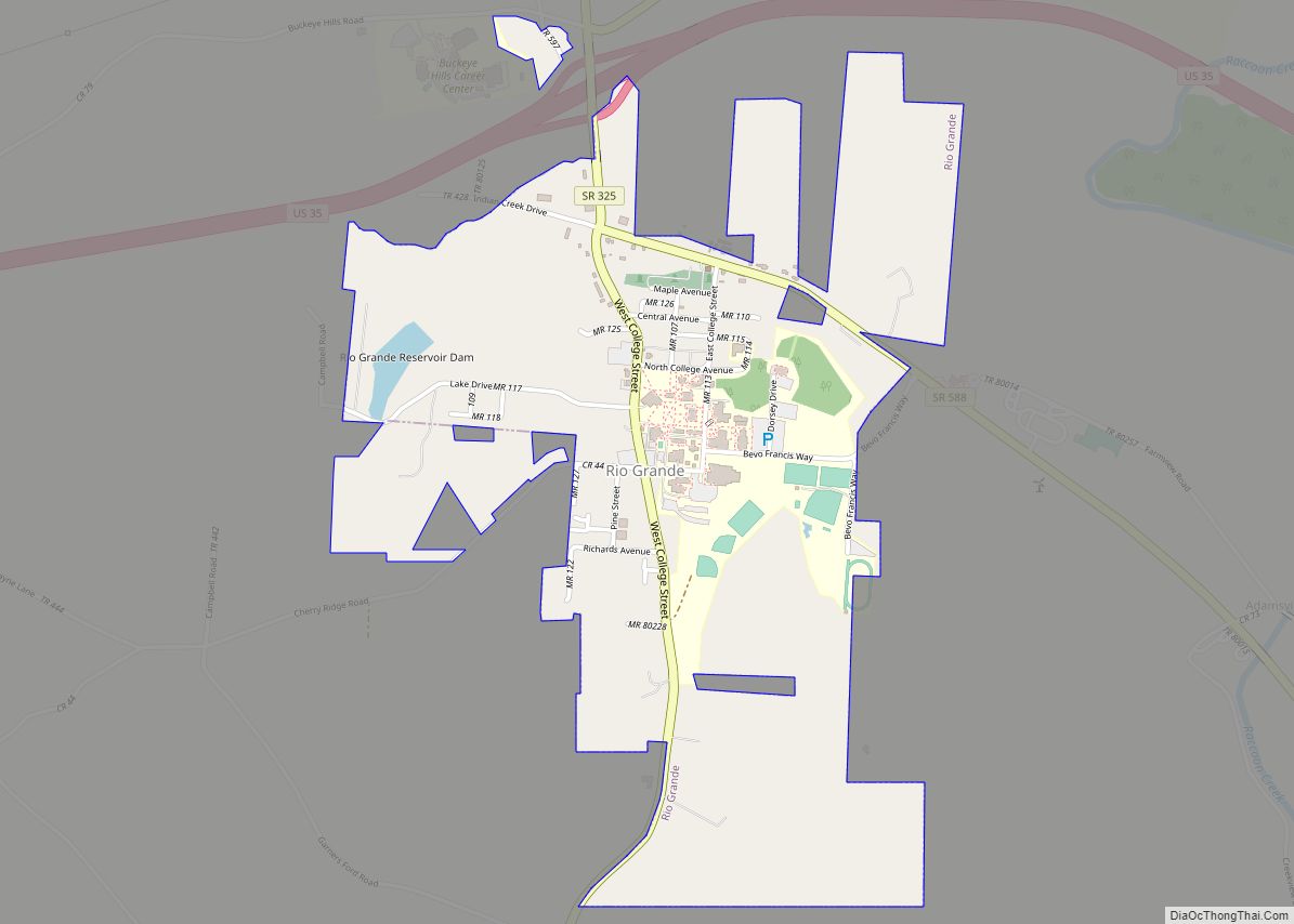
Gallia County Road Map
Geography
According to the U.S. Census Bureau, the county has a total area of 471 square miles (1,220 km), of which 467 square miles (1,210 km) is land and 4.7 square miles (12 km) (1.0%) is water.
Adjacent counties
- Vinton County (north)
- Meigs County (northeast)
- Mason County, West Virginia (east)
- Cabell County, West Virginia (south)
- Lawrence County (southwest)
- Jackson County (northwest)
National protected area
- Wayne National Forest (part)
