Garrard County (/ˈɡærɪd/ GAIR-id;) is a county located east-central Kentucky. As of the 2020 census, the county’s population was 16,953. Its county seat is Lancaster. The county was formed in 1796 and was named for James Garrard, Governor of Kentucky from 1796 to 1804. It is a prohibition or dry county, although its county seat, Lancaster, is wet. Lancaster was founded as a collection of log cabins in 1776 near a spring that later provided a constant source of water to early pioneers. It is one of the oldest cities in the Commonwealth. Boonesborough, 25 miles to the east, was founded by Daniel Boone in 1775. Lexington, 28 miles to the north, was founded in 1775. Stanford, originally known as St. Asaph, is 10 miles south of Lancaster. It too was founded in 1775. The oldest permanent settlement in Kentucky, Harrodsburg, was founded in 1774 and is 18 miles to the west. Garrard’s present day courthouse is one of the oldest courthouses in Kentucky in continuous use.
| Name: | Garrard County |
|---|---|
| FIPS code: | 21-079 |
| State: | Kentucky |
| Founded: | December 17, 1796 |
| Named for: | James Garrard |
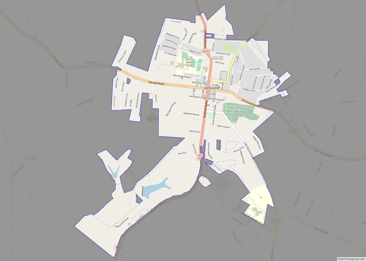
| Seat: | Lancaster |
| Largest city: | Lancaster |
| Total Area: | 234 sq mi (610 km²) |
| Land Area: | 230 sq mi (600 km²) |
| Total Population: | 16,953 |
| Population Density: | 72/sq mi (28/km²) |
| Time zone: | UTC−5 (Eastern) |
| Summer Time Zone (DST): | UTC−4 (EDT) |
| Website: | garrardcounty.us |
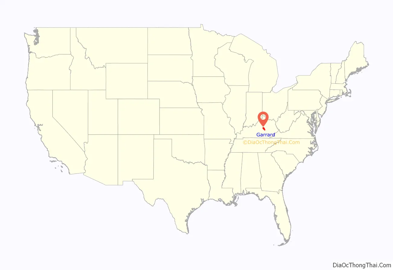
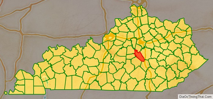
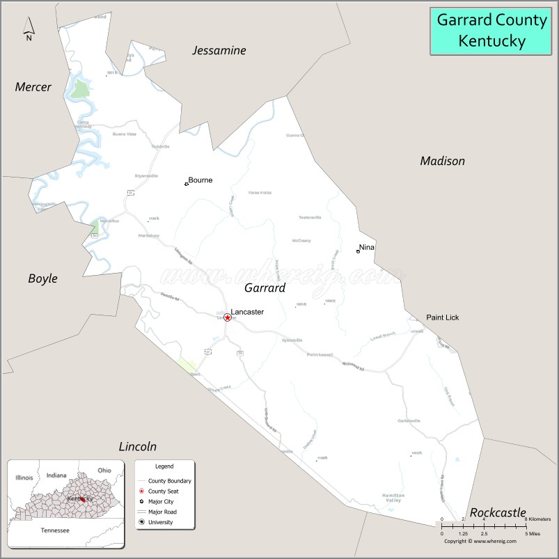
Garrard County location map. Where is Garrard County?
History
The area presently bounded by Kentucky state lines was a part of the U.S. State of Virginia, and was established as Kentucky County by the Virginia legislature in 1776, before the British colonies separated themselves in the American Revolutionary War. In 1780, the Virginia legislature divided Kentucky County into three counties: Fayette, Jefferson, and Lincoln. In 1785, parts of Lincoln County were divided off to create Mercer and Madison Counties.
In 1791 the previous Kentucky County was incorporated into the new nation as a separate state, Kentucky. This change became official on June 1, 1792. In 1796, a portion of the remaining Lincoln County was combined with areas split off from Mercer and Madison Counties to form Garrard County. It was the 25th county to be formed in the new state. It was named for Col. James Garrard, second Governor of Kentucky and acting governor at the time of the county’s establishment.
Harriet Beecher Stowe, author of the powerful antebellum novel Uncle Tom’s Cabin, visited the Thomas Kennedy home located in the Paint Lick section of Garrard County in her only visit to the South while gathering material for the book. The cabin that formed the basis of her novel was an actual structure behind the plantation house. In 2008, Garrard County officials announced their intention to recreate the slave cabin on the grounds of the Governor William Owsley House. However, in 2018 newspaper articles showed the proposed site abandoned and grown over; a memorial in another Kentucky county (Mason) was continuing to honor the memory and contribution of Stowe.
Garrard County is historically a Whig and Republican County. Its early political leaders were outspoken supporters of Henry Clay. It was strongly pro-Union during the Civil War and has remained a Republican stronghold in the Bluegrass Region which was, until recently, largely Democratic.
Garrard County is the home of Camp Dick Robinson, the first Federal base south of the Ohio River during the Civil War.
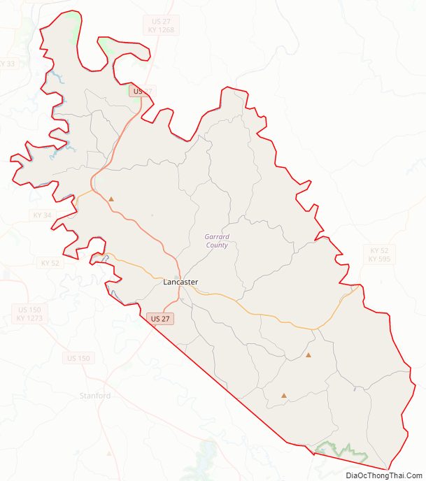
Garrard County Road Map
Geography
According to the United States Census Bureau, the county has a total area of 234 square miles (610 km), of which 230 square miles (600 km) is land and 3.9 square miles (10 km) (1.7%) is water.
Located in east-central Kentucky, most of the county lies within in the rolling hills of the Bluegrass region. The southeastern end of the county near the Cartersville community is in the Knobs region. Garrard County is considered to be part of Appalachia.
Adjacent counties
- Jessamine County (north)
- Madison County (northeast)
- Rockcastle County (southeast)
- Lincoln County (southwest)
- Boyle County (west)
- Mercer County (northwest)
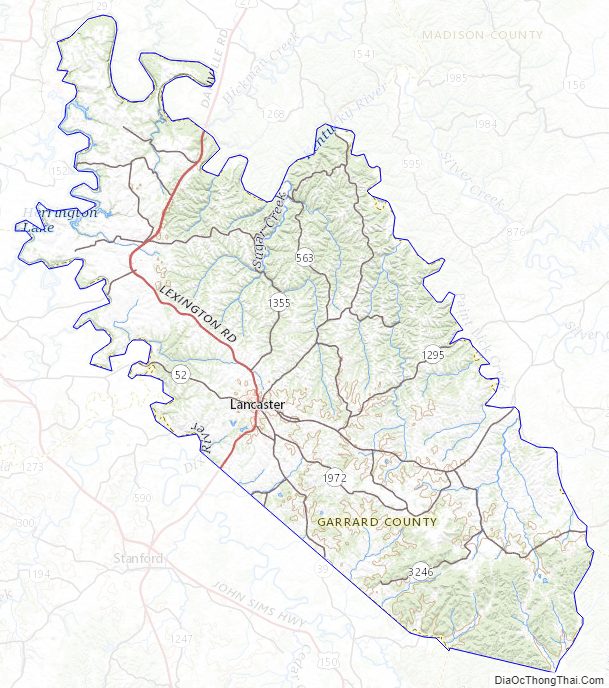
Garrard County Topographic Map
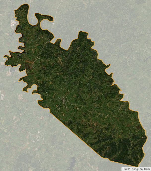
Garrard County Satellite Map
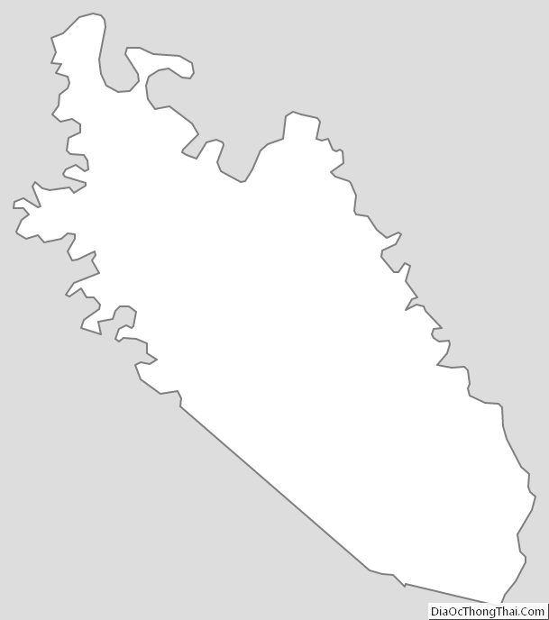
Garrard County Outline Map