Lancaster locally /ˈlæŋkəstər/ is a home rule-class city in Garrard County, Kentucky, in the United States. It is the seat of its county. As of the year 2010 U.S. census, the city population was 3,442.
Located south of Lexington, Lancaster is the site of the Kennedy House, sometimes said to have been the setting for Uncle Tom’s Cabin. The Civil War training base Camp Dick Robinson was located nearby.
| Name: | Lancaster city |
|---|---|
| LSAD Code: | 25 |
| LSAD Description: | city (suffix) |
| State: | Kentucky |
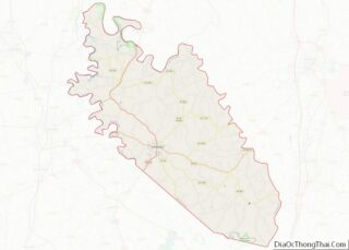
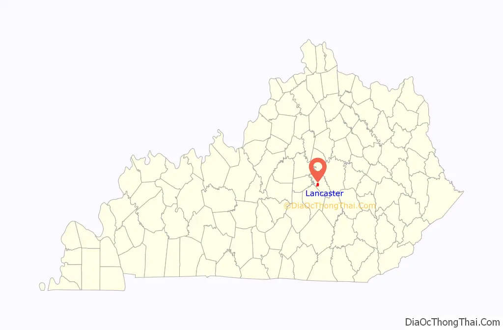
| County: | Garrard County |
| Incorporated: | 1837 |
| Elevation: | 1,027 ft (313 m) |
| Total Area: | 2.30 sq mi (5.96 km²) |
| Land Area: | 2.28 sq mi (5.91 km²) |
| Water Area: | 0.02 sq mi (0.05 km²) |
| Total Population: | 3,899 |
| Population Density: | 1,710.09/sq mi (660.13/km²) |
| ZIP code: | 40444, 40446 |
| Area code: | 859 |
| FIPS code: | 2143840 |
| GNISfeature ID: | 0495946 |
| Website: | www.cityoflancasterky.com |
Online Interactive Map
Click on ![]() to view map in "full screen" mode.
to view map in "full screen" mode.
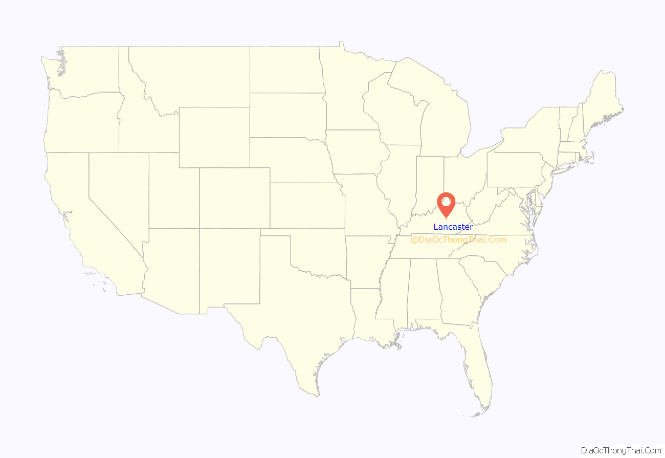
Lancaster location map. Where is Lancaster city?
History
In 1797, Captain William Buford donated land for the establishment of a town around the site of Major Andrew Wallace’s settlement at Wallace Crossroads. The surveying and platting was completed over the next year by Joseph Bledsoe Jr., and the community was named “Lancaster” for the Pennsylvania town, either because one of its settlers came from there or because the town was designed on a similar plan. The post office was established in 1801 and operated under the name “Lancaster Court House” until 1811. The city was formally incorporated by the state assembly in 1837.
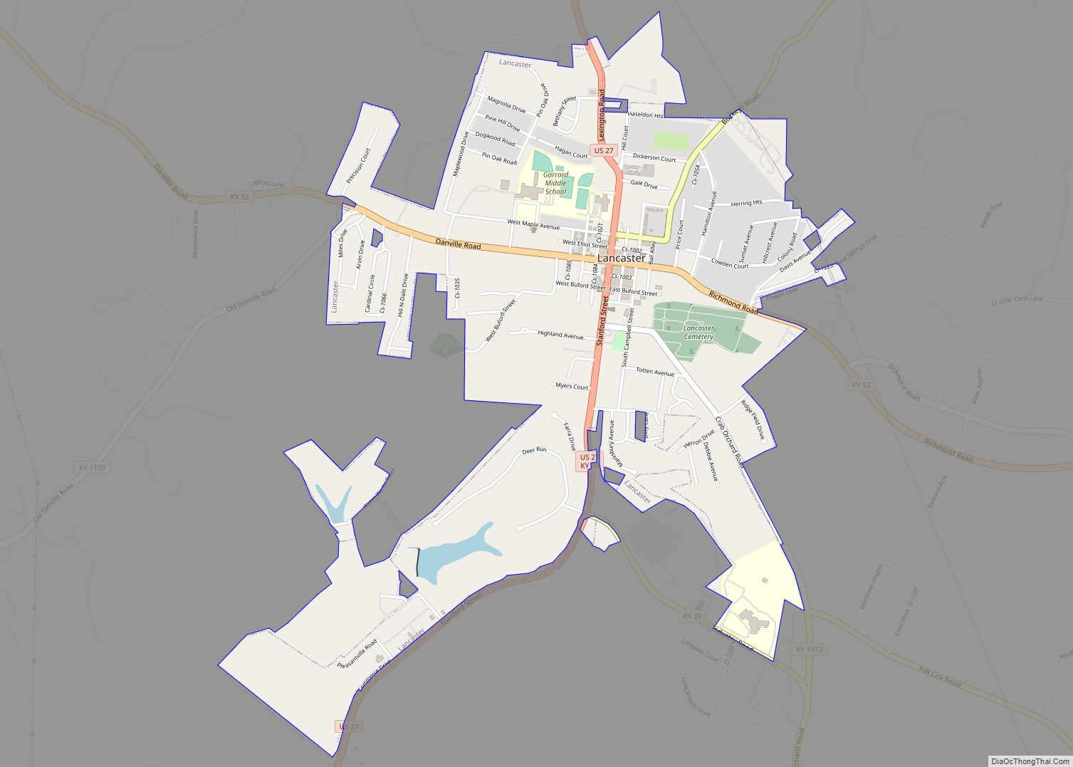
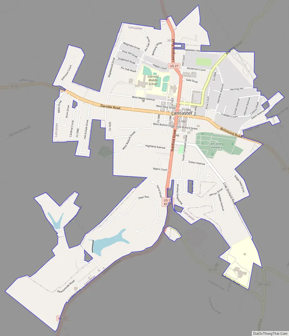
Lancaster Road Map
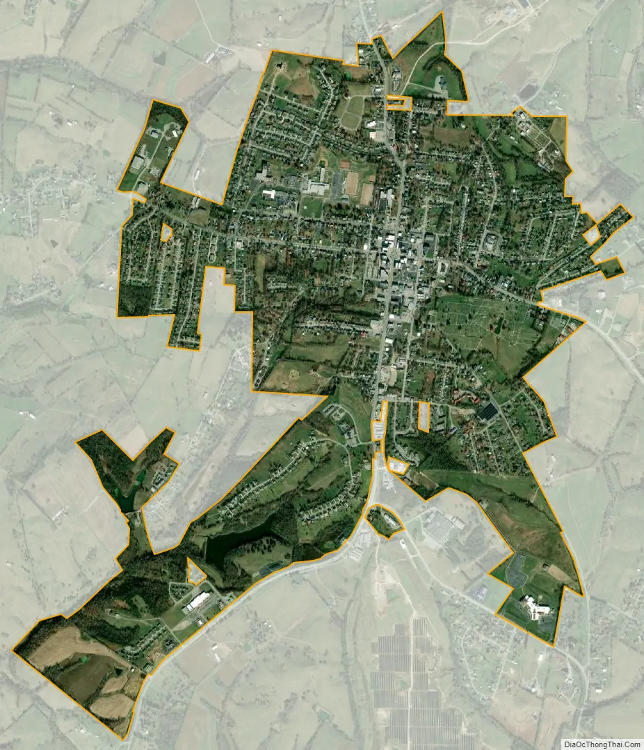
Lancaster city Satellite Map
Geography
Lancaster is located west of the center of Garrard County at 37°37′7″N 84°34′46″W / 37.61861°N 84.57944°W / 37.61861; -84.57944 (37.618625, -84.579433). U.S. Route 27 passes through the city, leading north 35 miles (56 km) to Lexington and south 39 miles (63 km) to Somerset. Kentucky Route 52 crosses US 27 in the center of Lancaster, leading east and northeast 23 miles (37 km) to Richmond, and west 11 miles (18 km) to Danville. Lancaster is 3 miles (5 km) east of the Dix River, a north-flowing tributary of the Kentucky River.
According to the United States Census Bureau, Lancaster has a total area of 1.9 square miles (5.0 km), all land.
Climate
The climate in this area is characterized by hot, humid summers and generally mild to cool winters. According to the Köppen Climate Classification system, Lancaster has a humid subtropical climate, abbreviated “Cfa” on climate maps.
See also
Map of Kentucky State and its subdivision:- Adair
- Allen
- Anderson
- Ballard
- Barren
- Bath
- Bell
- Boone
- Bourbon
- Boyd
- Boyle
- Bracken
- Breathitt
- Breckinridge
- Bullitt
- Butler
- Caldwell
- Calloway
- Campbell
- Carlisle
- Carroll
- Carter
- Casey
- Christian
- Clark
- Clay
- Clinton
- Crittenden
- Cumberland
- Daviess
- Edmonson
- Elliott
- Estill
- Fayette
- Fleming
- Floyd
- Franklin
- Fulton
- Gallatin
- Garrard
- Grant
- Graves
- Grayson
- Green
- Greenup
- Hancock
- Hardin
- Harlan
- Harrison
- Hart
- Henderson
- Henry
- Hickman
- Hopkins
- Jackson
- Jefferson
- Jessamine
- Johnson
- Kenton
- Knott
- Knox
- Larue
- Laurel
- Lawrence
- Lee
- Leslie
- Letcher
- Lewis
- Lincoln
- Livingston
- Logan
- Lyon
- Madison
- Magoffin
- Marion
- Marshall
- Martin
- Mason
- McCracken
- McCreary
- McLean
- Meade
- Menifee
- Mercer
- Metcalfe
- Monroe
- Montgomery
- Morgan
- Muhlenberg
- Nelson
- Nicholas
- Ohio
- Oldham
- Owen
- Owsley
- Pendleton
- Perry
- Pike
- Powell
- Pulaski
- Robertson
- Rockcastle
- Rowan
- Russell
- Scott
- Shelby
- Simpson
- Spencer
- Taylor
- Todd
- Trigg
- Trimble
- Union
- Warren
- Washington
- Wayne
- Webster
- Whitley
- Wolfe
- Woodford
- Alabama
- Alaska
- Arizona
- Arkansas
- California
- Colorado
- Connecticut
- Delaware
- District of Columbia
- Florida
- Georgia
- Hawaii
- Idaho
- Illinois
- Indiana
- Iowa
- Kansas
- Kentucky
- Louisiana
- Maine
- Maryland
- Massachusetts
- Michigan
- Minnesota
- Mississippi
- Missouri
- Montana
- Nebraska
- Nevada
- New Hampshire
- New Jersey
- New Mexico
- New York
- North Carolina
- North Dakota
- Ohio
- Oklahoma
- Oregon
- Pennsylvania
- Rhode Island
- South Carolina
- South Dakota
- Tennessee
- Texas
- Utah
- Vermont
- Virginia
- Washington
- West Virginia
- Wisconsin
- Wyoming