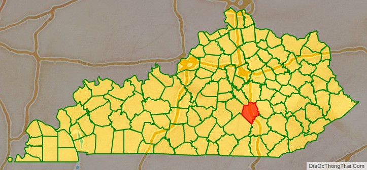
Rockcastle County is a county located in the southeastern part of the U.S. state of Kentucky. As of the 2020 census, the population was 16,037. Its county seat is Mt. Vernon. The county was founded in 1810 and named for the Rockcastle River, which runs through it. The river, in turn, is named for its majestic rock cliffs. Rockcastle County is part of the Richmond–Berea, KY Micropolitan Statistical Area, which is also included in the Lexington-Fayette-Richmond-Frankfort, KY Combined Statistical Area.
| Name: | Rockcastle County |
|---|---|
| FIPS code: | 21-203 |
| State: | Kentucky |
| Founded: | 1810 |
| Named for: | Rockcastle River |
| Seat: | Mount Vernon |
| Largest city: | Mount Vernon |
| Total Area: | 318 sq mi (820 km²) |
| Land Area: | 317 sq mi (820 km²) |
| Total Population: | 16,037 |
| Population Density: | 50/sq mi (19/km²) |
| Time zone: | UTC−5 (Eastern) |
| Summer Time Zone (DST): | UTC−4 (EDT) |
| Website: | rockcastlecountyky.com |
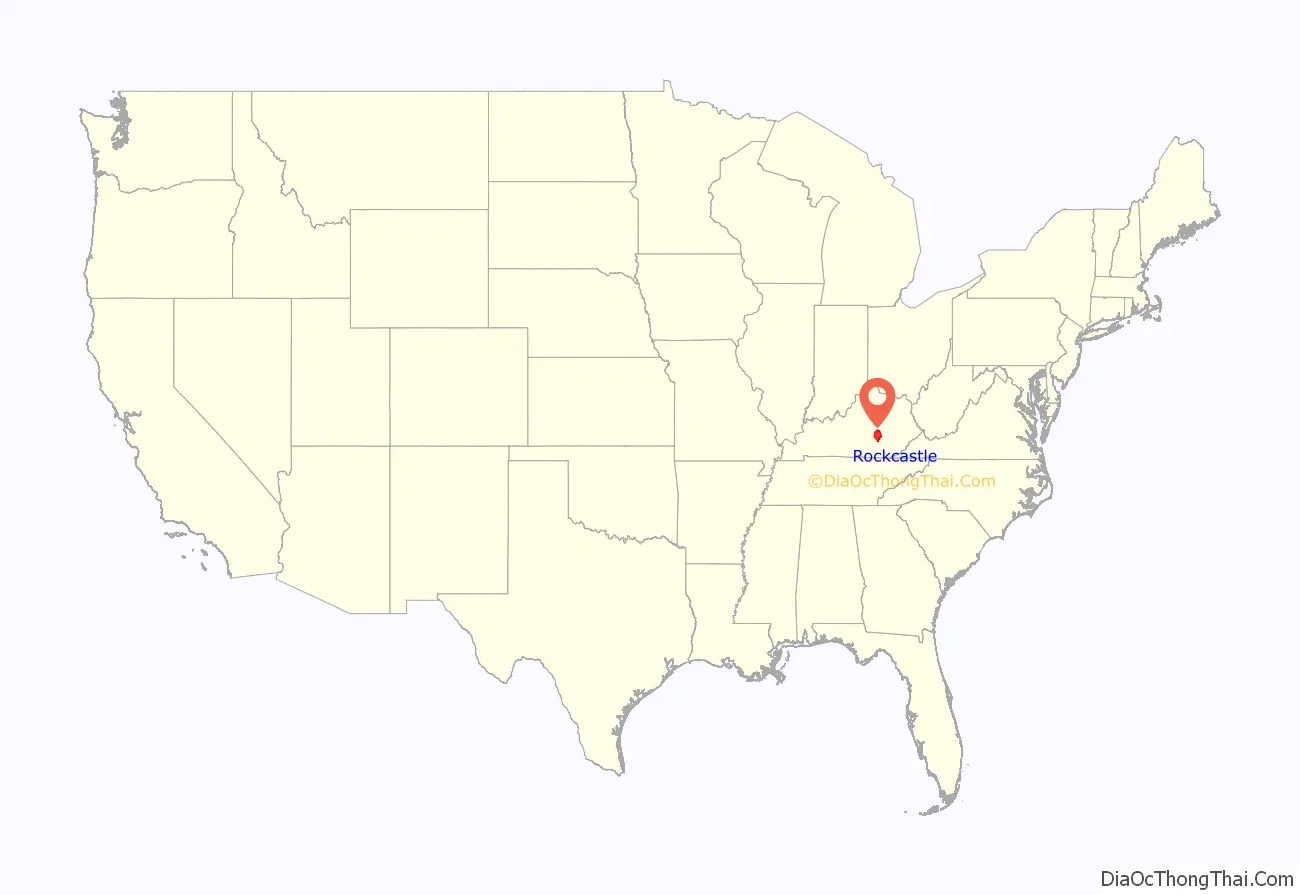
Rockcastle County location map. Where is Rockcastle County?
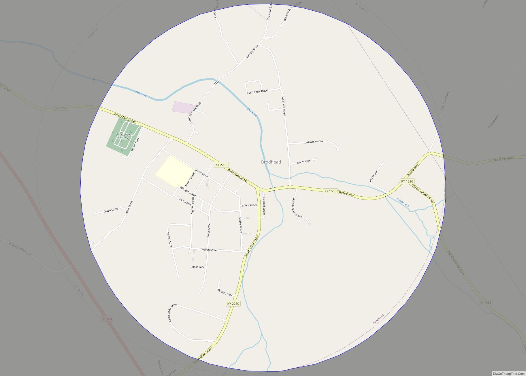
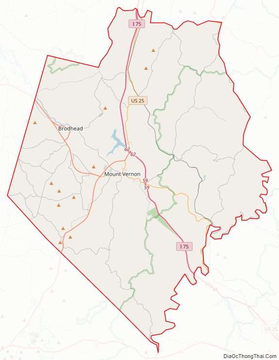
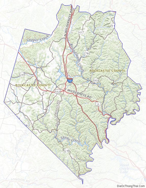
Rockcastle County Road Map
Geography
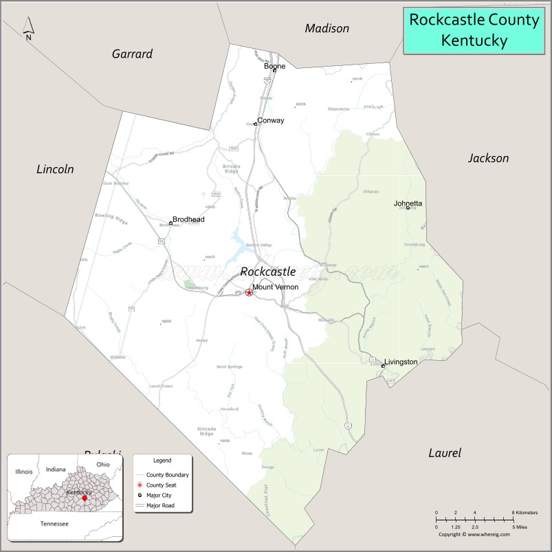
According to the United States Census Bureau, the county has a total area of 318 square miles (820 km), of which 317 square miles (820 km) is land and 1.6 square miles (4.1 km) (0.5%) is water.
Adjacent counties
-
- Northwest • Garrard County
- North • Madison County
- West • Lincoln County
- East • Jackson County
- Southwest • Pulaski County
- Southeast • Laurel County
National protected area
- Daniel Boone National Forest (part)
Rockcastle County Topographic Map
Rockcastle County Satellite Map

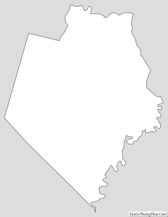
Rockcastle County Outline Map