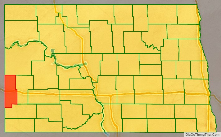
Golden Valley County is a county in the U.S. state of North Dakota. As of the 2020 census, the population was 1,736, making it the fourth-least populous county in North Dakota. The county seat is Beach.
The county should not be confused with the city of Golden Valley, which is located in Mercer County.
| Name: | Golden Valley County |
|---|---|
| FIPS code: | 38-033 |
| State: | North Dakota |
| Founded: | 1912 |
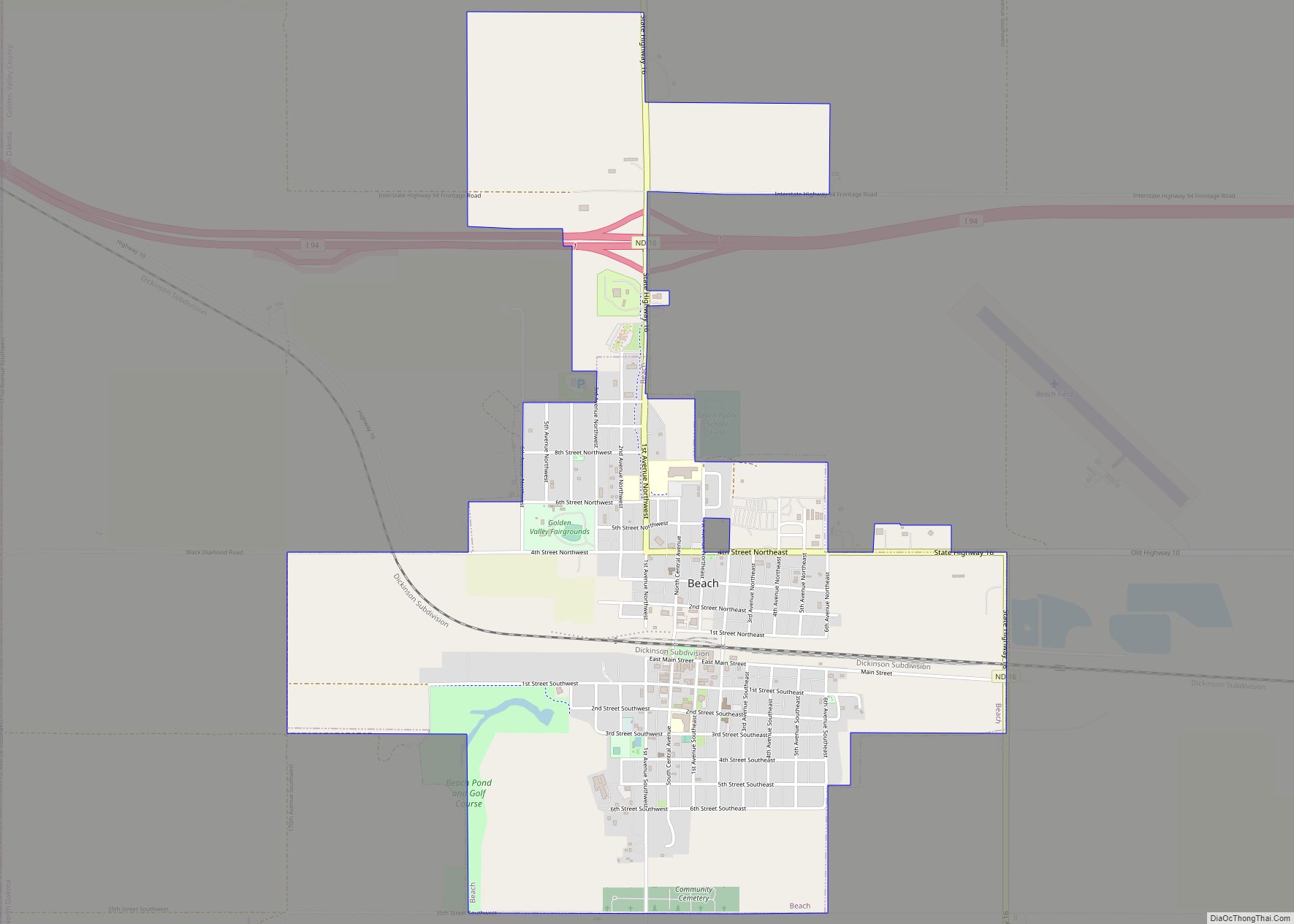
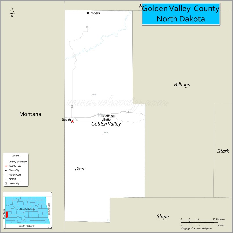
| Seat: | Beach |
| Largest city: | Beach |
| Total Area: | 1,002 sq mi (2,600 km²) |
| Land Area: | 1,001 sq mi (2,590 km²) |
| Total Population: | 1,736 |
| Population Density: | 1.7/sq mi (0.67/km²) |
| Time zone: | UTC−7 (Mountain) |
| Summer Time Zone (DST): | UTC−6 (MDT) |
| Website: | www.goldenvalleycounty.org |
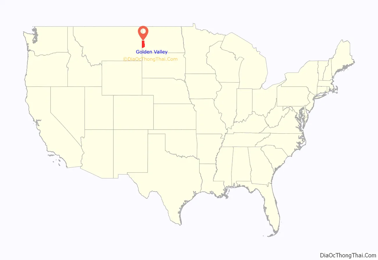
Golden Valley County location map. Where is Golden Valley County?
History
In the general election held November 8, 1910, the voters of Billings County chose to separate the western portion of Billings and form a new county. This result was immediately challenged in court; on September 19, 1912, the ND Supreme Court upheld the election result; therefore the legislature completed the county’s organization on November 13, 1912.
Golden Valley was called ‘Rattlesnake Flats’ by early settlers, due to the large number of the snakes found in the area. The region was dubbed Golden Valley in 1902 after a group of land surveyors noticed that the sunlight gave the surrounding grasses a distinct golden color.
Election controversy
The vote in 1910 to create Golden Valley County was 837 for and 756 against. Shortly after the vote was certified, suit was filed against the Billings County Commission to overturn the result. The plaintiffs alleged that the certification of election was improper, and that certain pre-marked “unofficial” ballots printed by supporters of the new county were cast in place of official ballots, and should be voided. The trial court originally ruled in favor of the plaintiffs. The county appealed to the North Dakota Supreme Court, which upheld the county’s certification of the election. The court also ruled the pre-marked ballots were invalid, but that the number of invalid votes was not sufficient to overturn the election results. The court’s decision upholding the new county was made on September 19, 1912, and Golden Valley was formally organized on November 13, 1912.
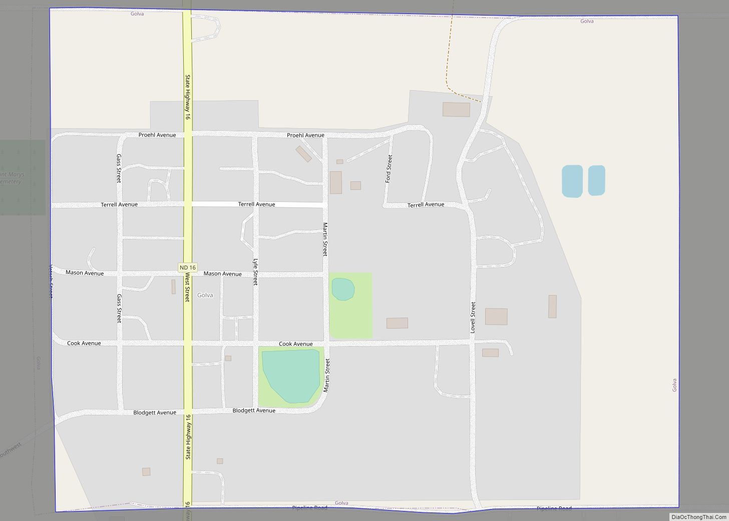
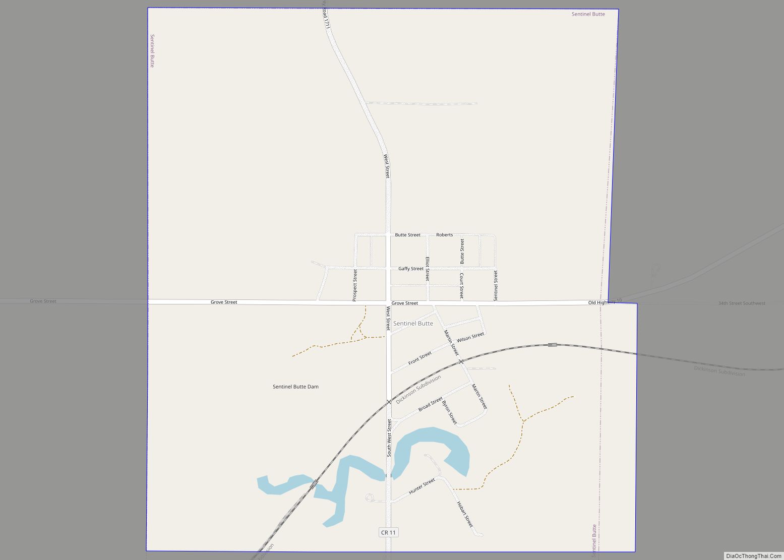
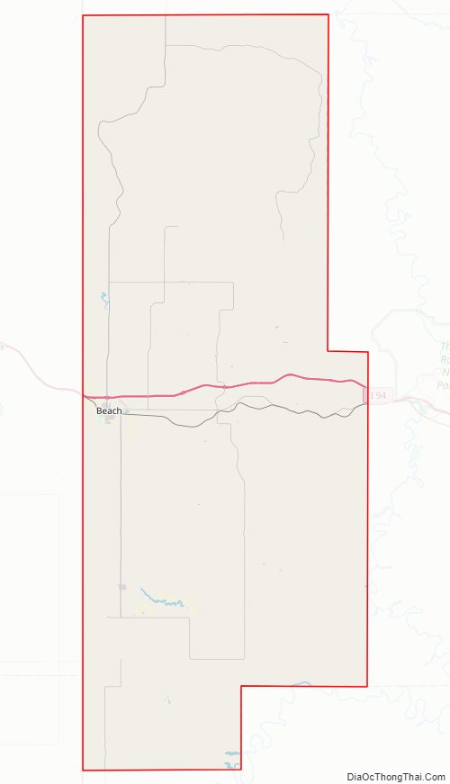
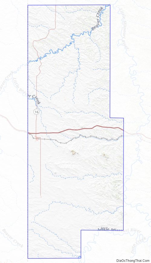
Golden Valley County Road Map
Geography
Golden Valley County lies on the west line of North Dakota. Its west boundary line abuts the east boundary line of the state of Montana. Beaver Creek flows east-northeastward through the upper portion of the county, and Little Missouri River flows northeastward through the southeastern corner of the county, with gullies flowing southeastward draining the lower county into the Little Mo River. The county terrain consists of semi-arid hills, dedicated to agriculture in the level areas. The terrain slopes to the east and north, with its highest point on hills at the southwestern corner at 3,251′ (991m) ASL. The county has a total area of 1,002 square miles (2,600 km), of which 1,001 square miles (2,590 km) is land and 1.6 square miles (4.1 km) (0.2%) is water.
Major highways
- Interstate 94
- North Dakota Highway 16
Adjacent counties
- McKenzie County (north)
- Billings County (east)
- Slope County (south)
- Fallon County, Montana (southwest)
- Wibaux County, Montana (west)
National protected area
- Little Missouri National Grassland (part)
Lakes
- Bosserman Lake
- Camels Hump Lake
- Odland Dam
Golden Valley County Topographic Map
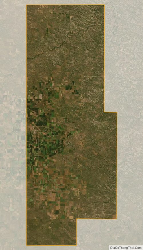
Golden Valley County Satellite Map
Golden Valley County Outline Map