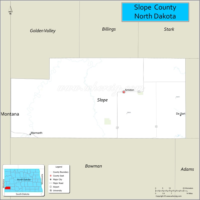
Slope County is a county in the U.S. state of North Dakota. As of the 2020 census, the population was 706, making it the least populous county in North Dakota and the 20th-least populous county in the United States. The county seat is Amidon.
| Name: | Slope County |
|---|---|
| FIPS code: | 38-087 |
| State: | North Dakota |
| Founded: | 1915 |
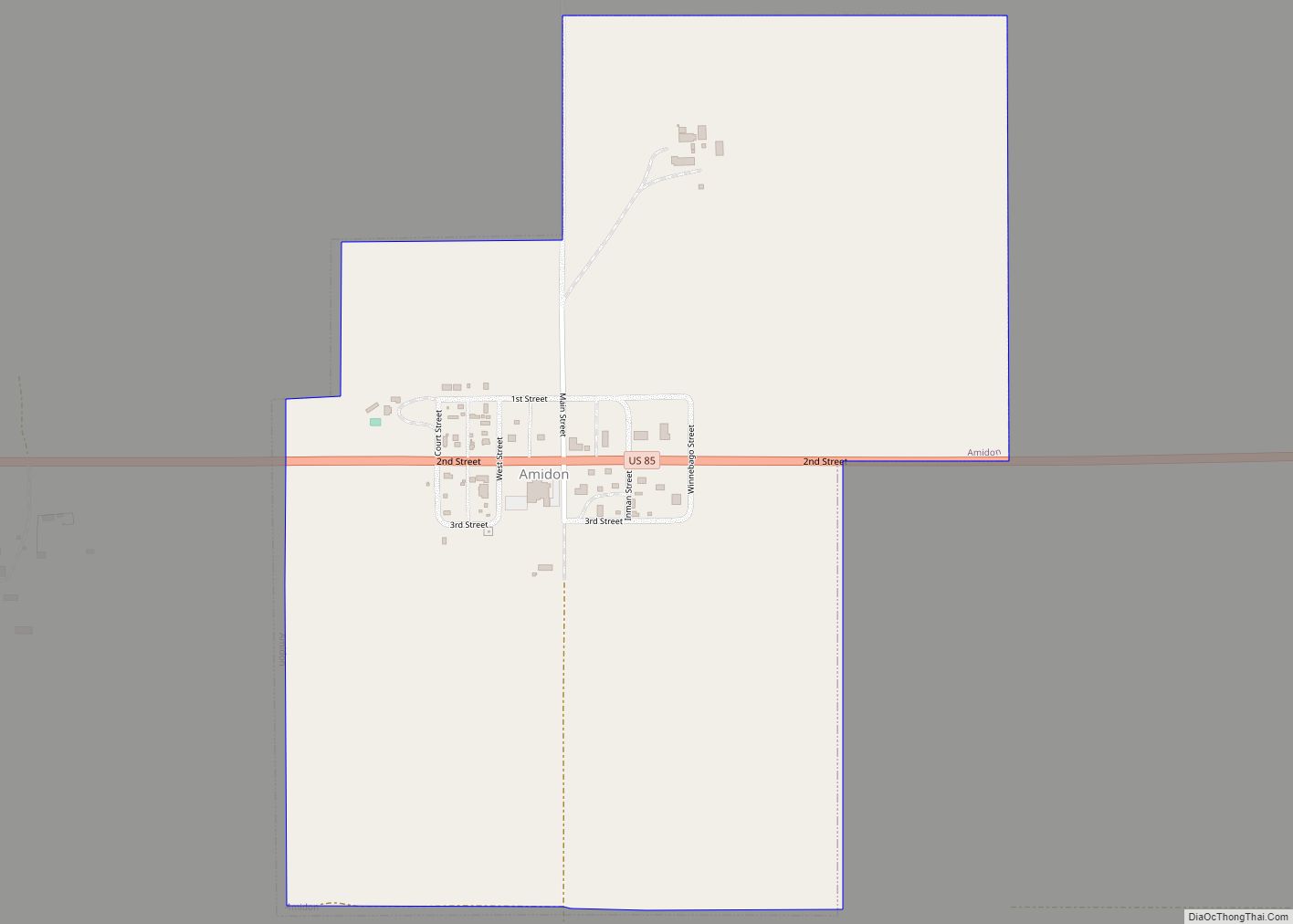
| Seat: | Amidon |
| Largest city: | Marmarth |
| Total Area: | 1,219 sq mi (3,160 km²) |
| Land Area: | 1,215 sq mi (3,150 km²) |
| Total Population: | 706 |
| Population Density: | 0.58/sq mi (0.22/km²) |
| Time zone: | UTC−7 (Mountain) |
| Summer Time Zone (DST): | UTC−6 (MDT) |
| Website: | www.slopecountynd.com |
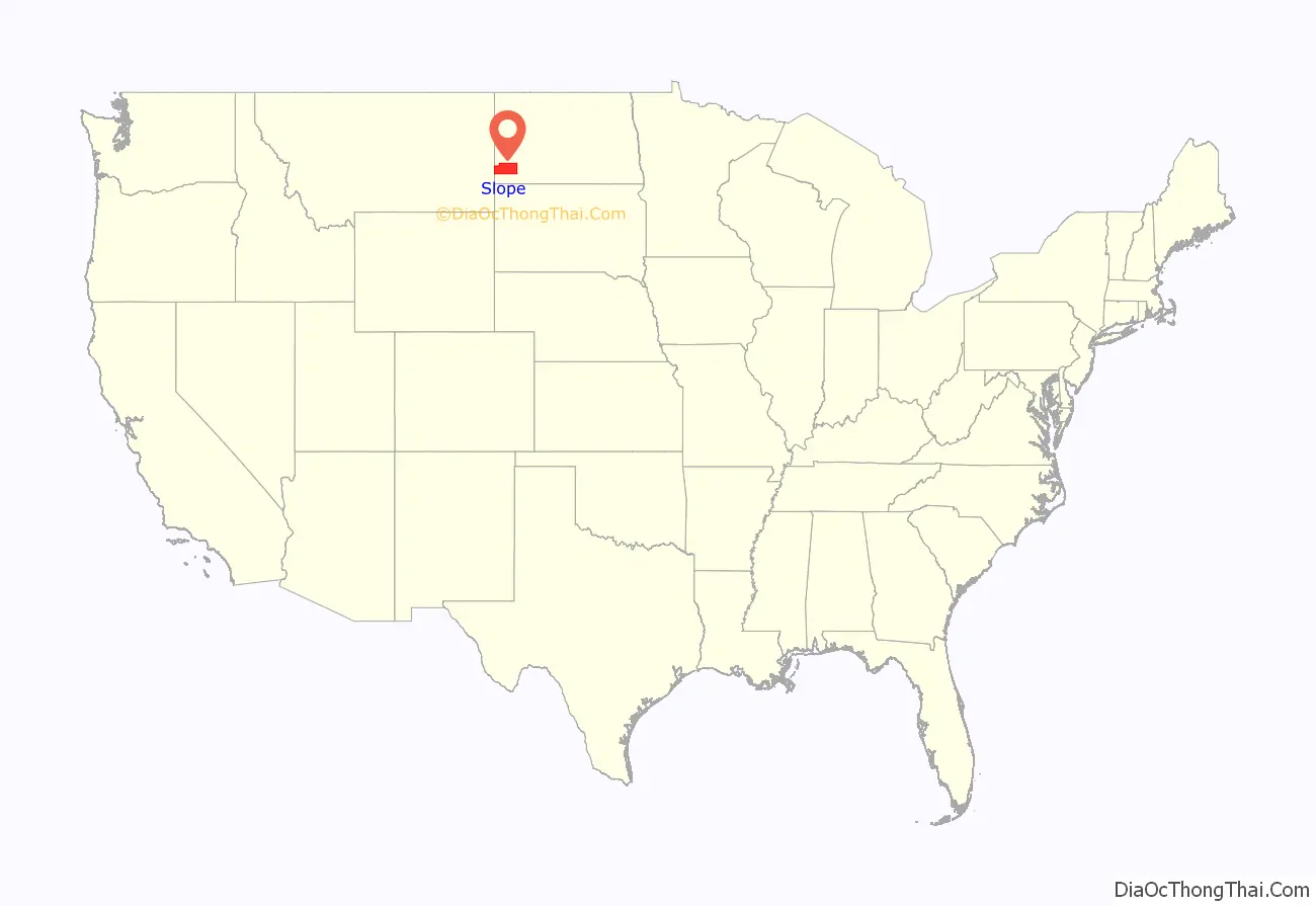
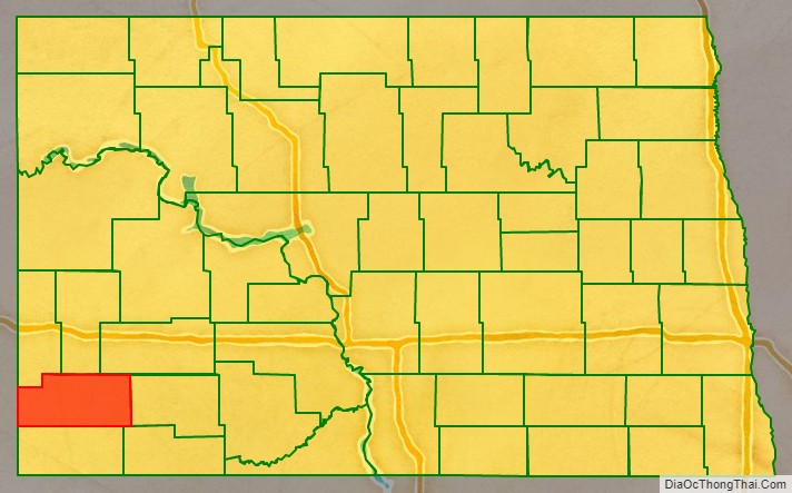
Slope County location map. Where is Slope County?
History
The vote to create Slope County, by partitioning the lower portion of Billings, was held on November 3, 1914. This was the final (as of 2019) alteration to that once-large Dakota county, as Bowman had been partitioned off in 1883, and Golden Valley was split off in 1910. The unorganized Slope County was not attached to another county for administrative or judicial purposes during the interregnum; on January 14, 1915, the county organization was effected. The name refers to the Missouri Slope, a geographical feature that is also a popular designation for western North Dakota, particularly the area west of the Missouri River.
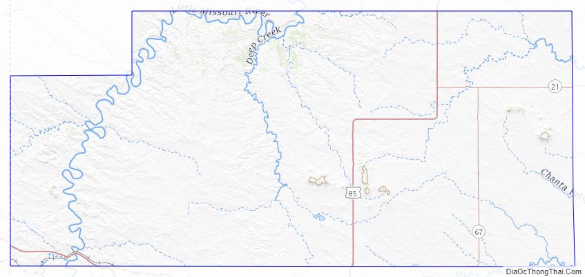
Slope County Road Map
Geography
Slope County lies on the lower west side of North Dakota. Its west boundary line abuts the east boundary line of the state of Montana. The Little Missouri River enters the county’s north boundary line at its midpoint, and flows southwestward through Three V Crossing, and then southward through the county’s western portion. Cedar Creek drains the southeastern portion of the county, flowing southerly into Bowman County.
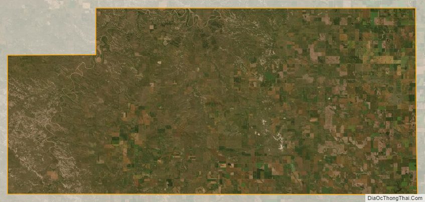
Slope County terrain consists of semi-arid rough hills and gullies interspersed with lower hills, part of which is dedicated to agriculture. The terrain slopes to the east and south; its highest area (except for isolated prominences, such as White Butte) is its northwestern corner, at 3,104′ (945m) ASL. The county has a total area of 1,219 square miles (3,160 km), of which 1,215 square miles (3,150 km) is land and 4.2 square miles (11 km) (0.3%) is water.
White Butte, the highest natural point in North Dakota at an elevation of 3506 ft (1062 m), is in southeast Slope County.
Major highways
- U.S. Highway 12
- U.S. Highway 85
National protected areas
- Little Missouri National Grassland (part)
- Stewart Lake National Wildlife Refuge
- White Lake National Wildlife Refuge
Adjacent counties
- Billings County – north
- Stark County – northeast
- Hettinger County – east
- Adams County – southeast
- Bowman County – south
- Fallon County, Montana – west
- Golden Valley County – northwest
Lakes
- Cedar Lake
- White Lake
Slope County Topographic Map
Slope County Satellite Map
Slope County Outline Map