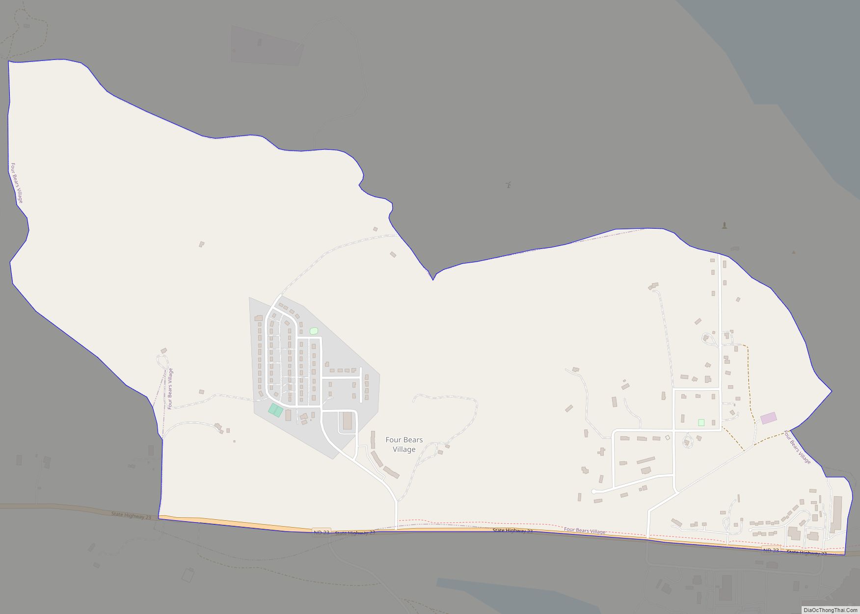
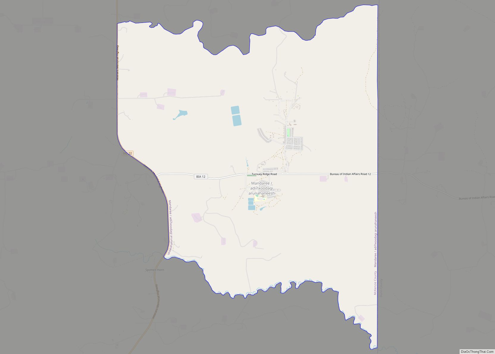
McKenzie County is a county in the U.S. state of North Dakota. As of the 2020 census, the population was 14,704. Its county seat is Watford City.
The county lies immediately adjacent to the Williston Micropolitan Statistical Area, although the Census Bureau does not include McKenzie County in that grouping.
| Name: | McKenzie County |
|---|---|
| FIPS code: | 38-053 |
| State: | North Dakota |
| Founded: | 1905 |
| Named for: | Alexander McKenzie |
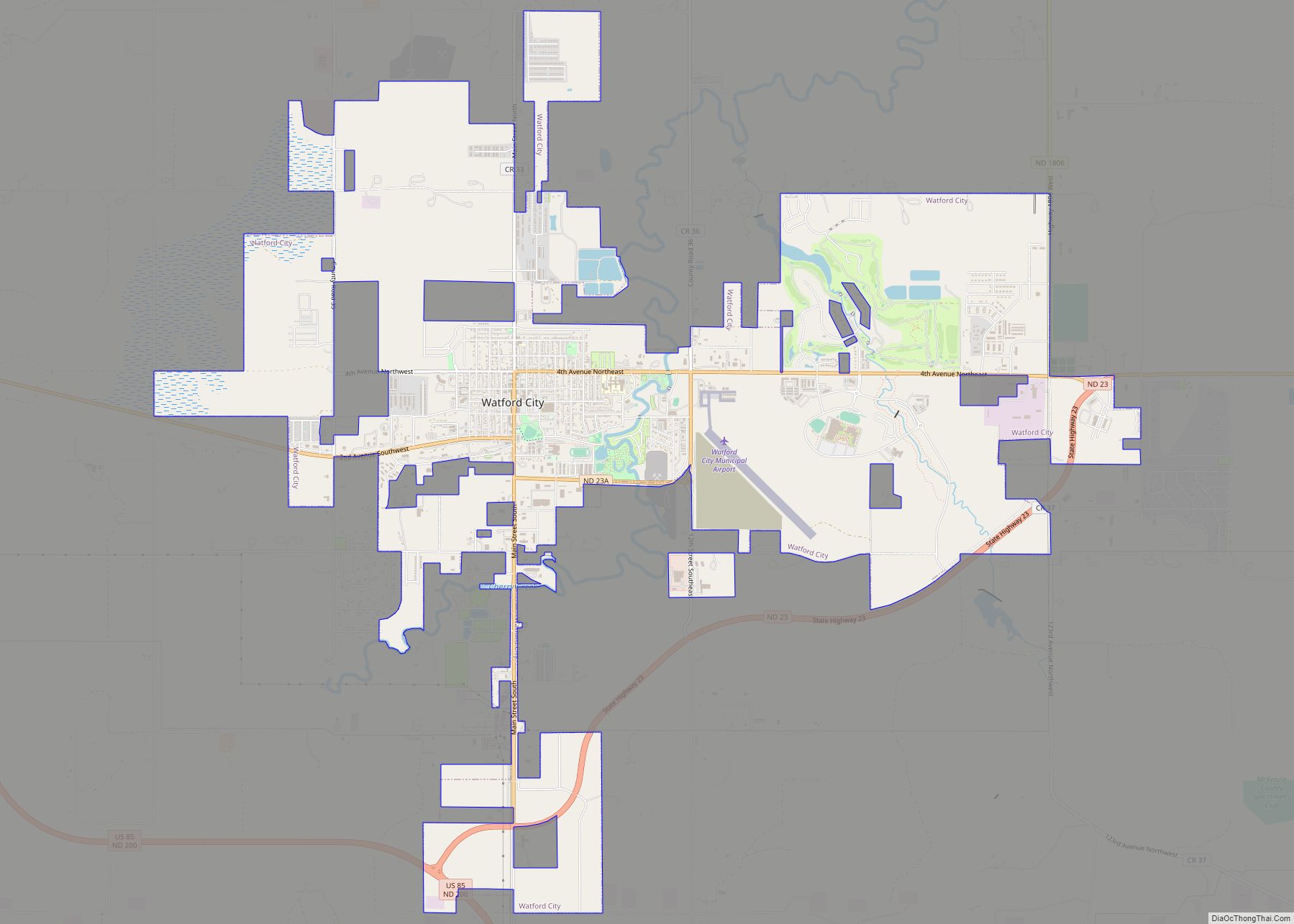
| Seat: | Watford City |
| Largest city: | Watford City |
| Total Area: | 2,861 sq mi (7,410 km²) |
| Land Area: | 2,760 sq mi (7,100 km²) |
| Total Population: | 14,704 |
| Population Density: | 5.1/sq mi (2.0/km²) |
| Website: | county.mckenziecounty.net |
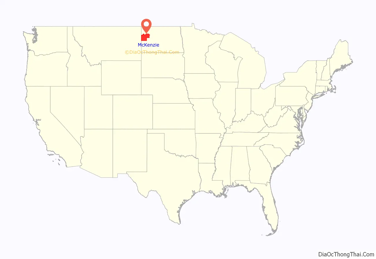
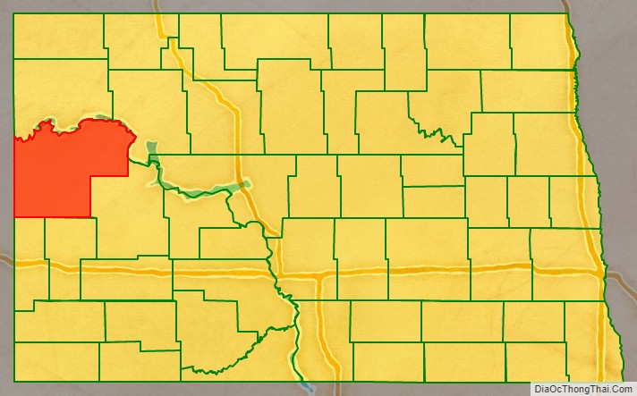
McKenzie County location map. Where is McKenzie County?
History
The Dakota Territory legislature created the county on March 9, 1883, with areas partitioned from Howard County (now extinct). The county was named for Alexander McKenzie, a territorial political figure who was later disgraced for corruption. The county was not organized at that time, and was not attached to another county for administrative or judicial purposes. The county’s boundary was altered in 1885, and on March 2, 1891, the state legislature authorized the dissolution of the county, assigning its territories to Billings and Stark counties. However, this directive was not implemented, and McKenzie continued as a defined county until November 3, 1896, when another act was passed to dissolve the county and assign its territories to Billings County. This act was challenged in the courts, and on May 24, 1901, the state Supreme Court held that the county was to continue in existence.
On March 10, 1903, the county was attached to Stark County for administrative purposes. On March 16, 1905, McKenzie gained the territories of Allred and Wallace counties as those counties were administratively dissolved. On April 20, 1905, the McKenzie County government was organized, and its previous attachment to Stark was terminated.
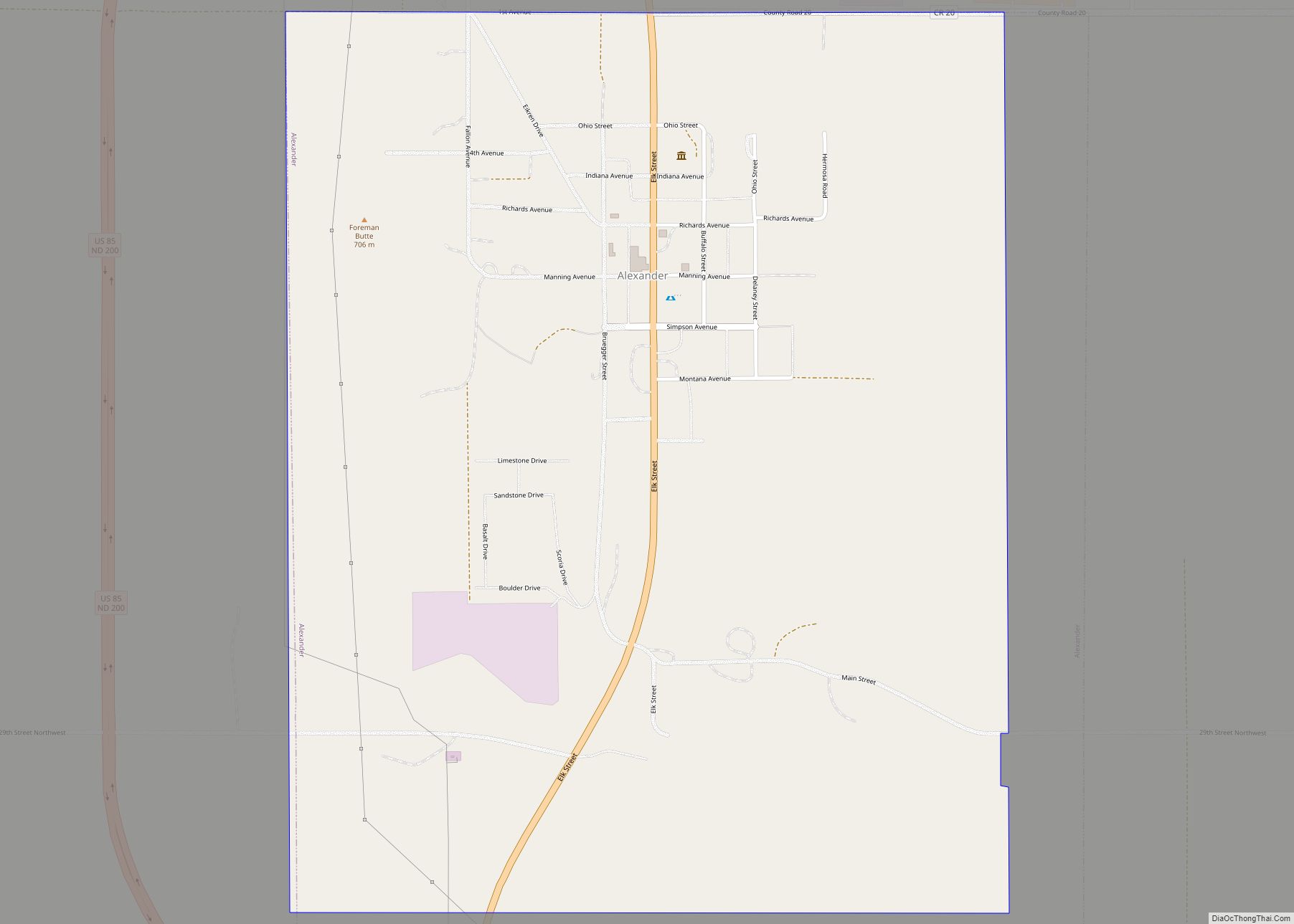
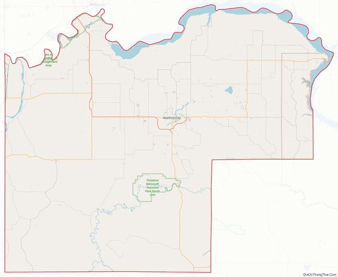
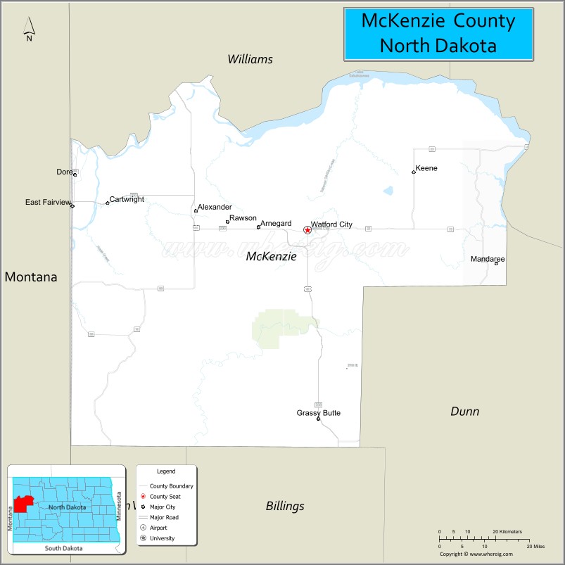
The first county seat was Alexander. In 1907 the seat was moved to Schafer, and in 1941 it was moved to the present location, Watford City.
Between the 2010 and 2020 censuses, McKenzie County was the fastest growing county in the United States, growing by 131.2% from 6,360 to 14,704 inhabitants, largely due to the Bakken Formation oil boom.
McKenzie County Road Map
Geography
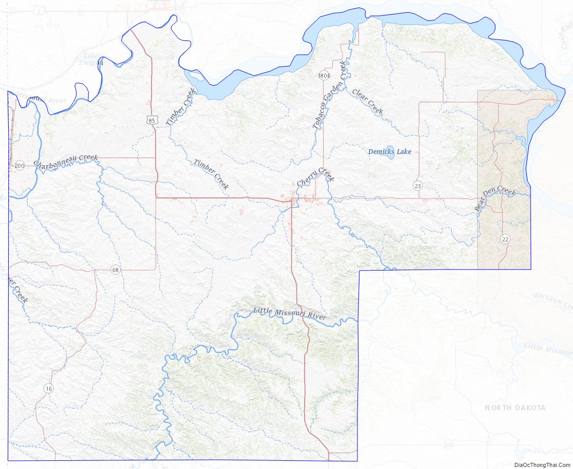
McKenzie County lies on the west line of North Dakota. Its west boundary line abuts the east boundary line of the state of Montana. The Missouri River flows easterly along the western portion of the county’s north boundary line, and the enlargement of the Missouri as it discharges into Lake Sakakawea forms the eastern portion of the county’s north and northeastern boundary line. The Yellowstone River flows into the northwestern corner of the county from Montana, and discharges into the Missouri at the county’s northern boundary line. The Little Missouri River flows northeasterly through the county’s lower portion, on its way to discharge into Lake Sakakawea, east of the county’s east boundary line. The county terrain consists of semi-arid rolling hills, carved by river valleys and drainages. The area is partially devoted to agriculture. The terrain slopes to the east and north, with its highest point on its south boundary line, at 2,684′ (818m) ASL. The county has a total area of 2,861 square miles (7,410 km), of which 2,760 square miles (7,100 km) is land and 100 square miles (260 km) (3.5%) is water. It is the largest county in North Dakota by area.
The McKenzie County landscape features a wide diversity of physical features, ranging from sugarbeet fields bordering the Missouri River at the northwest corner of the county to rugged badlands near the Little Missouri River in the south, where Theodore Roosevelt National Park and the Little Missouri National Grassland are located. Between the two rivers is a large area of prairie, ranging from gentle rolling terrain to rocky, rugged pastures. The southeast corner of the county, bordering on the Little Missouri badlands of neighboring Dunn County, is abundant in wildlife, quaking aspen groves, and bur oak groves, interspersed in places with western red cedar on the north-facing slopes of the badlands.
The southwestern corner counties of North Dakota (Adams, Billings, Bowman, Golden Valley, Grant, Hettinger, Slope, Stark) observe Mountain Time. The counties of McKenzie, Dunn, and Sioux are split between Mountain and Central Time.
Major highways
- U.S. Highway 85
- North Dakota Highway 22
- North Dakota Highway 23
- North Dakota Highway 58
- North Dakota Highway 68
- North Dakota Highway 73
- North Dakota Highway 200
- North Dakota Highway 1806
Adjacent counties
- Williams County – north (observes Central Time)
- Mountrail County – northeast (observes Central Time)
- Dunn County – southeast (observes Mountain Time in western section)
- Billings County – south (observes Mountain Time)
- Golden Valley County – southwest (observes Mountain Time)
- Wibaux County, Montana – west (observes Mountain Time)
- Richland County, Montana – northwest (observes Mountain Time)
Protected areas
- Antelope Creek State Game Management Area
- Antelope Creek State Wildlife Refuge
- Bear Den Creek Public Use Area
- Little Missouri National Grassland (part)
- Maah Daah Hey Trail
- Theodore Roosevelt National Park (North Unit – contained within LM National Grassland)
- Tobacco Garden Creek State Game Management Area
- Tobacco Garden Creek Recreation Area
Lakes
- Demicks Lake
- Lake Sakakawea
- Nohly Lake
McKenzie County Topographic Map
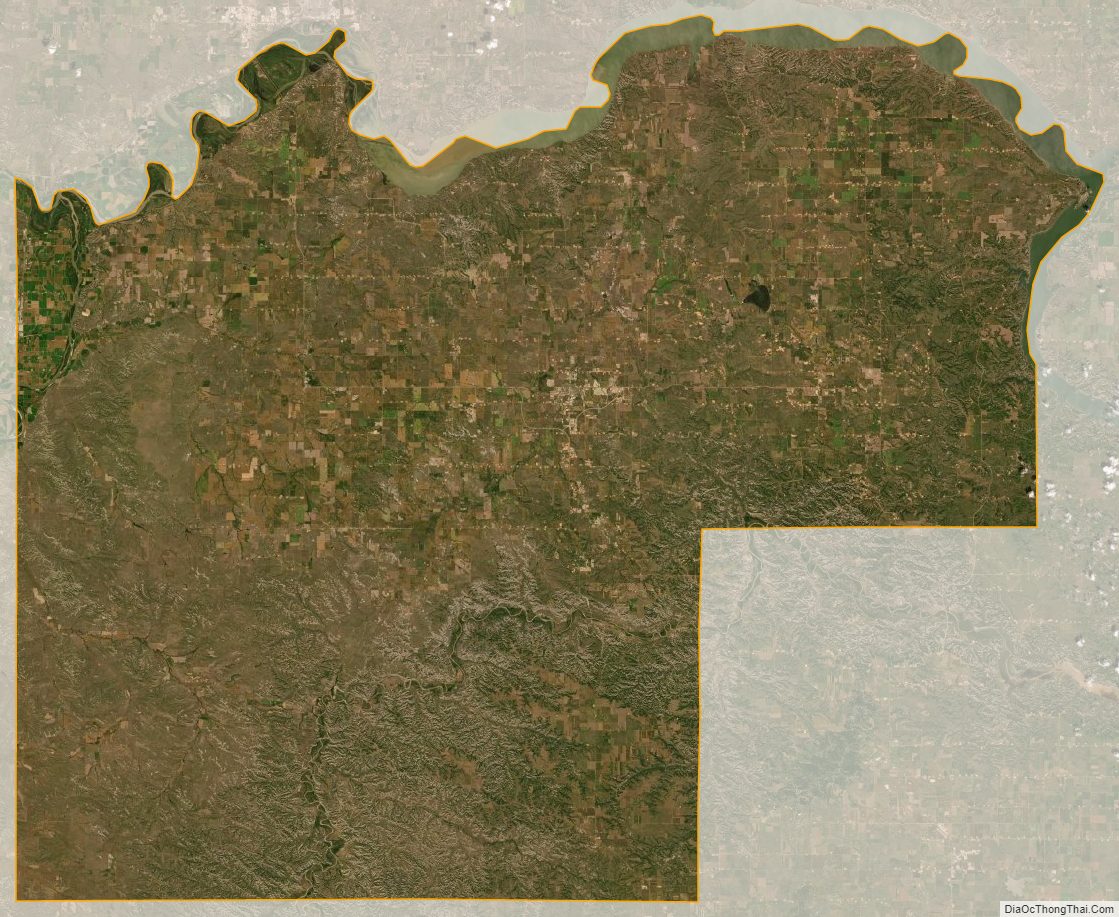
McKenzie County Satellite Map
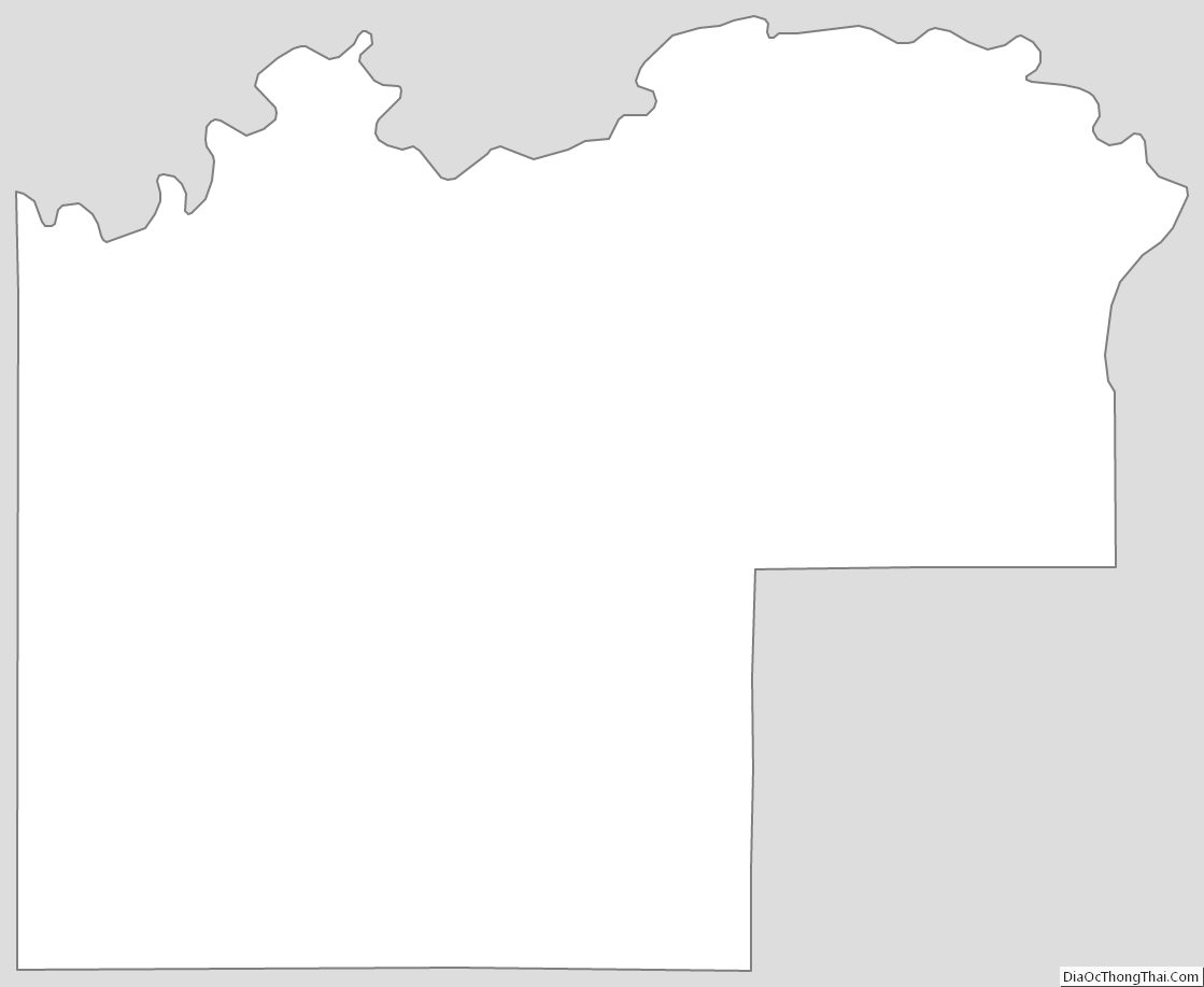
McKenzie County Outline Map