Graham County (locally /ˈɡreɪˌhæm/) is a county located in the U.S. state of North Carolina. As of the 2020 census, the population was 8,030, making it the third-least populous county in North Carolina. Its county seat is Robbinsville.
| Name: | Graham County |
|---|---|
| FIPS code: | 37-075 |
| State: | North Carolina |
| Founded: | 1872 |
| Named for: | William A. Graham |
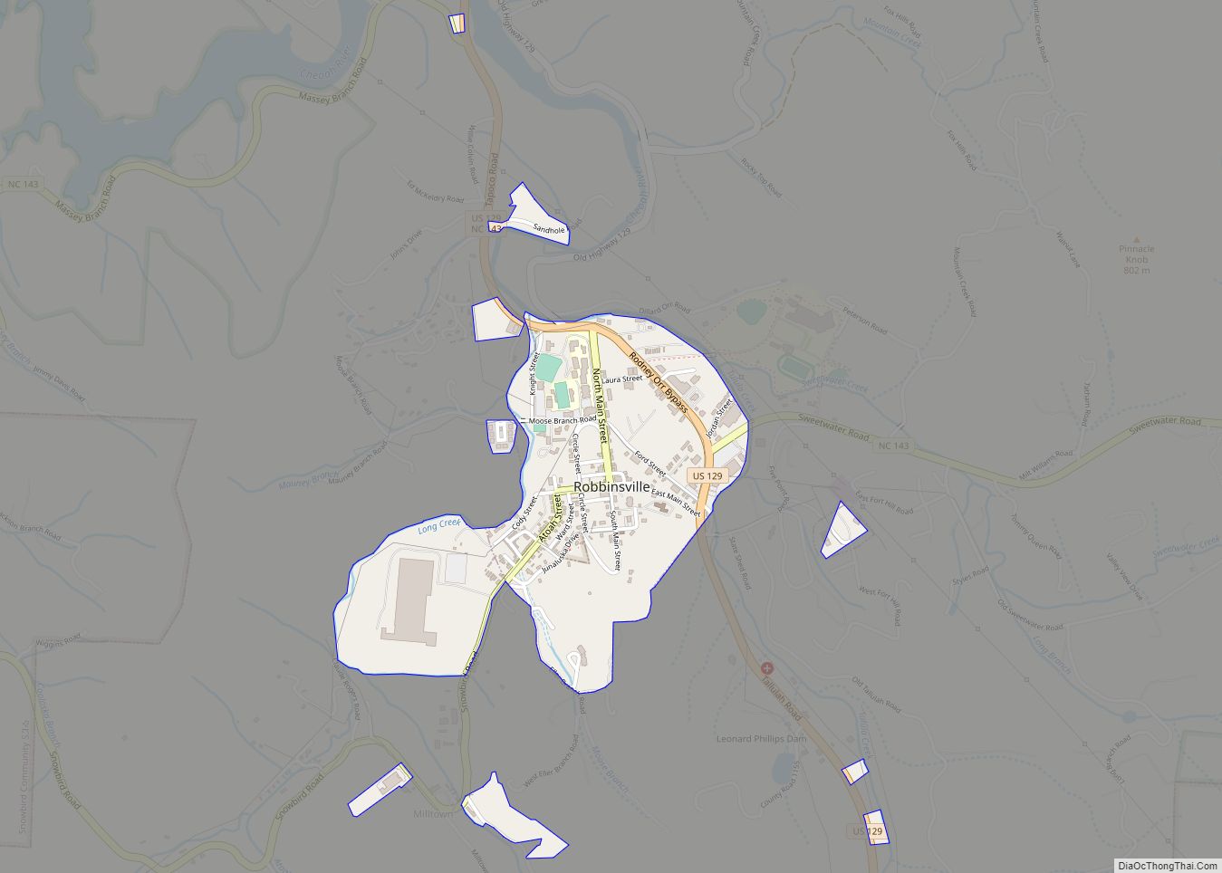
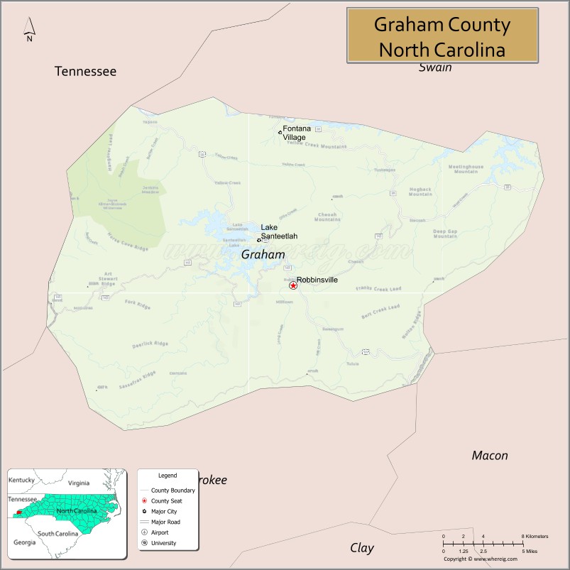
| Seat: | Robbinsville |
| Largest town: | Robbinsville |
| Total Area: | 302 sq mi (780 km²) |
| Land Area: | 292 sq mi (760 km²) |
| Total Population: | 8,043 |
| Population Density: | 27.5/sq mi (10.6/km²) |
| Time zone: | UTC−5 (Eastern) |
| Summer Time Zone (DST): | UTC−4 (EDT) |
| Website: | www.grahamcounty.org |
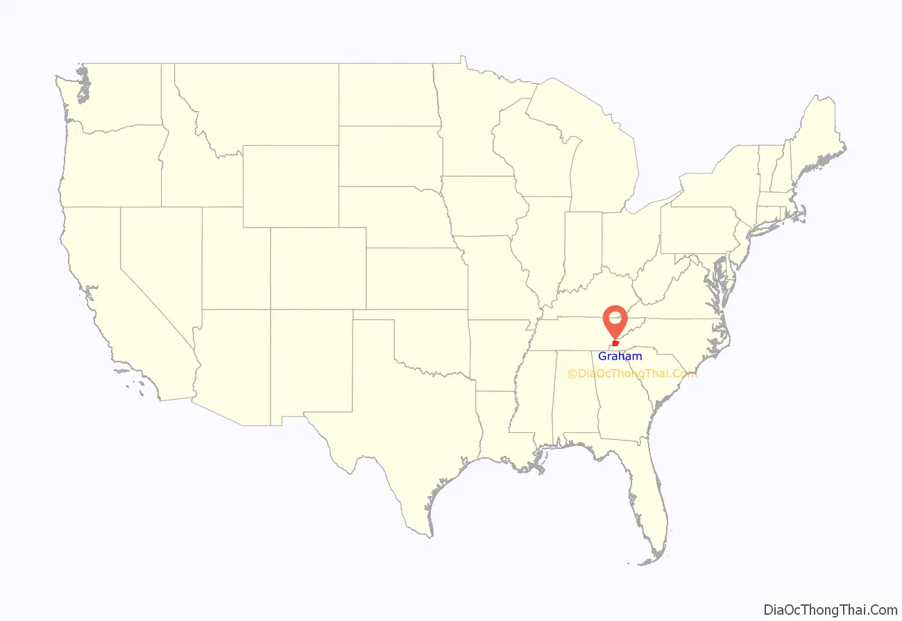
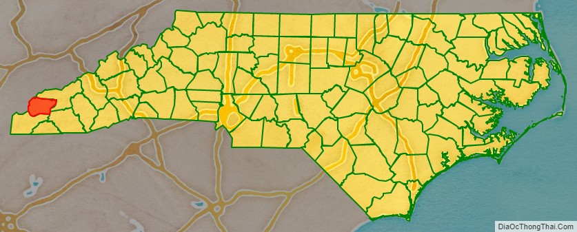
Graham County location map. Where is Graham County?
History
The county was formed January 30, 1872, from the northeastern part of Cherokee County. It was named for William A. Graham, United States Senator from North Carolina (1840–1843) and Governor of North Carolina (1845–1849).
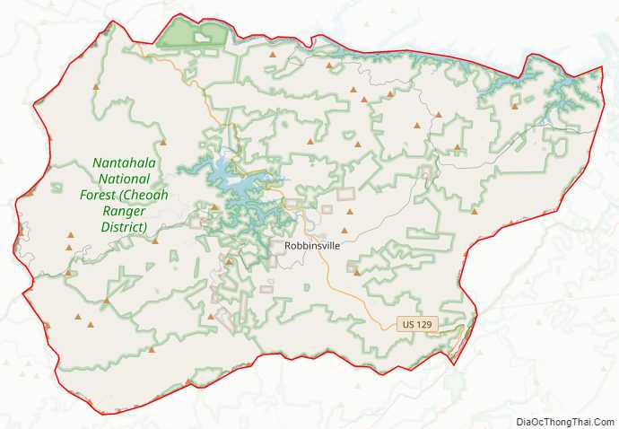
Graham County Road Map
Geography
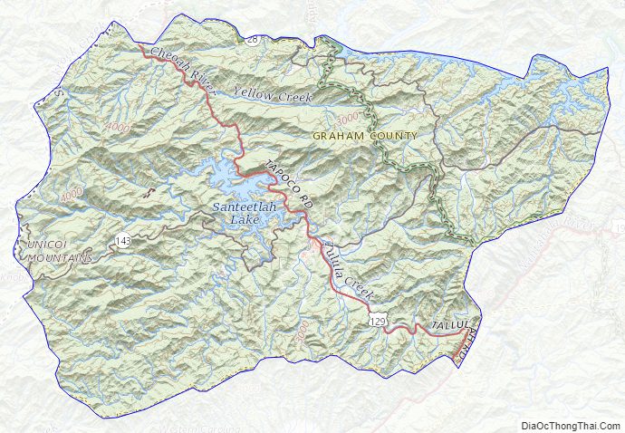
According to the U.S. Census Bureau, the county has a total area of 302 square miles (780 km), of which 292 square miles (760 km) is land and 9.6 square miles (25 km) (3.2%) is water. The terrain of the county is mountainous, with elevations ranging from 1,177 feet (359 m) to 5,560 feet (1,690 m). Two-thirds of the county is the Nantahala National Forest. The soil of the valleys is fertile.
Fontana Lake, an impoundment of the Little Tennessee River, forms most of the northern border of the county, with the Great Smoky Mountains National Park on the other side of the lake. Fontana Lake is formed by Fontana Dam, the tallest dam in the eastern U.S. The remainder of the northern boundary of Graham County is almost completely formed by another impoundment of the Little Tennessee River, downstream from Fontana Dam, created by Cheoah Dam. Fontana Dam and Cheoah Dam are both operated by the Tennessee Valley Authority.
The Appalachian Trail winds through Graham County. Part of the trail is located on top of Fontana Dam. The Cheoah River is noted for its Class IV and Class V whitewater rapids. The river is used for whitewater rafting about 17 days per year, based on a water-release schedule from Santeetlah Dam. Seventy-five percent of Lake Santeetlah shoreline borders national forest.
Joyce Kilmer Memorial Forest, a rare example of an old growth cove hardwood forest, is located in northwestern Graham County. Joyce Kilmer Memorial Forest is part of the Joyce Kilmer-Slickrock Wilderness area.
The eastern terminus of the Cherohala Skyway is located in northwestern Graham County. The 43-mile (69 km) Cherohala Skyway connects Graham County with Tellico Plains, Tennessee.
The Cherokee name for the area, Nantahala, is translated as “land of the noon-day sun” because 90% of the land is slopes of 30 degrees or greater, suggesting that in the valleys one sees the sun only in the middle of the day.
Indian reservation
Parts of the Qualla Boundary, also known as the Eastern Cherokee Indian Reservation, are located in Graham County. These sections of the Qualla Boundary are non-contiguous from the primary part of the Qualla Boundary located in Swain, Jackson, Cherokee and Haywood counties. The Cherokees who live in Graham County form the Snowbird Cherokee community.
National protected area
- Cherohala Skyway
- Great Smoky Mountains National Park (part)
- Joyce Kilmer-Slickrock Wilderness (part)
- Nantahala National Forest (part)
Major water bodies
- Deep Creek
- Fontana Lake
- Hooper Mill Creek
- Little Santeetlah Creek
- Little Tennessee River
- Santeetlah Creek
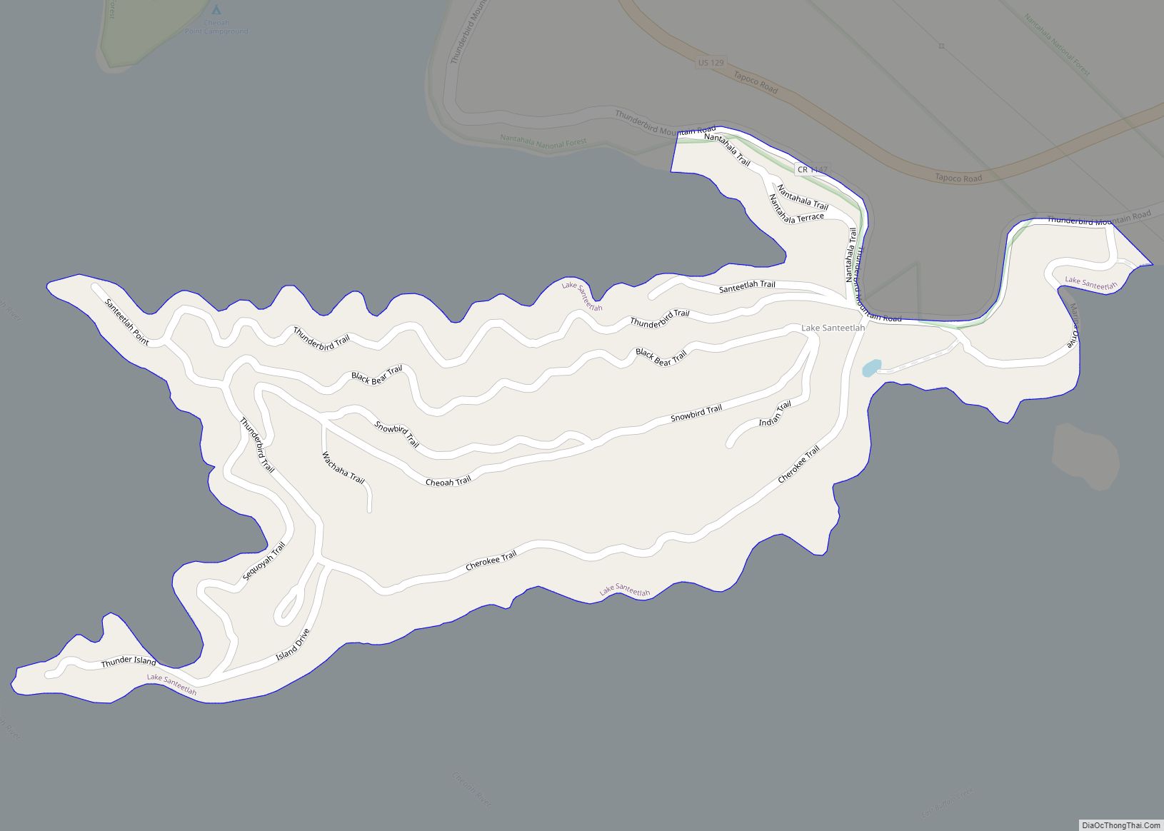
- Santeetlah Lake
- Snowbird Creek
- Tulula Creek
Adjacent counties
- Blount County, Tennessee – north
- Swain County – northeast
- Macon County – southeast
- Cherokee County – south
- Monroe County, Tennessee – west
Major highways
- US 19
- US 74
- US 129
- NC 28
- NC 143
- NC 143 Bus.
Graham County Topographic Map
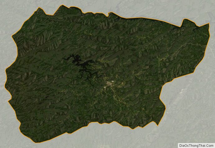
Graham County Satellite Map
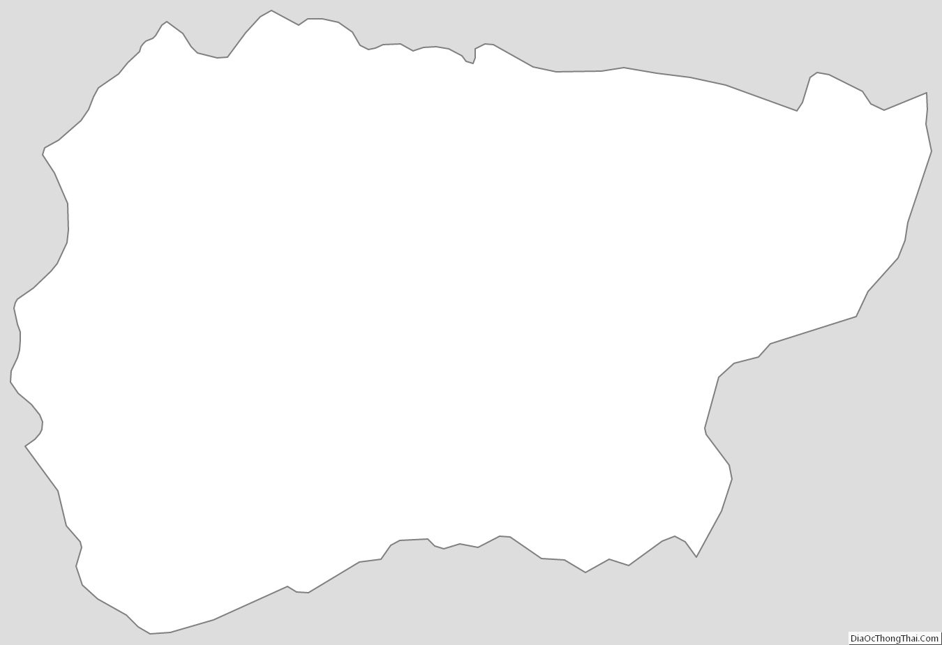
Graham County Outline Map