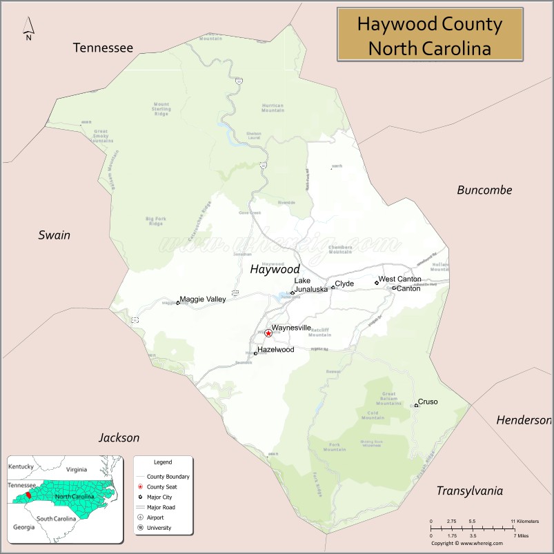
Haywood County is a county located in the U.S. state of North Carolina. As of the 2020 census, the population was 62,089. The county seat and its largest city is Waynesville. Haywood County is part of the Asheville, NC Metropolitan Statistical Area.
| Name: | Haywood County |
|---|---|
| FIPS code: | 37-087 |
| State: | North Carolina |
| Founded: | 1808 |
| Named for: | John Haywood |
| Seat: | Waynesville |
| Largest town: | Waynesville |
| Total Area: | 555 sq mi (1,440 km²) |
| Land Area: | 554 sq mi (1,430 km²) |
| Total Population: | 62,089 |
| Population Density: | 110/sq mi (43/km²) |
| Time zone: | UTC−5 (Eastern) |
| Summer Time Zone (DST): | UTC−4 (EDT) |
| Website: | www.haywoodcountync.gov |
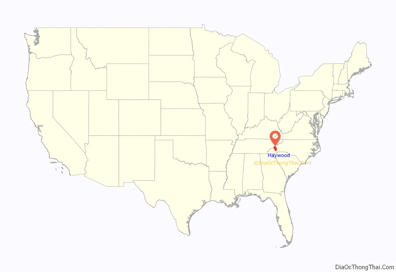
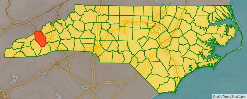
Haywood County location map. Where is Haywood County?
History
Part of indigenous territory considered the Cherokee homeland, the county was formed by European Americans in 1808 from the western part of Buncombe County. It was named for John Haywood, who served as the North Carolina State Treasurer from 1787 to 1827.
In 1828 the western part of Haywood County became Macon County. In 1851 parts of Haywood and Macon counties were combined to form Jackson County.
The last shot of the Civil War east of the Mississippi was fired in Waynesville on May 9, 1865, when elements of the Thomas Legion (Confederate) skirmished with the 2nd North Carolina Mounted Infantry (Union). A monument is situated on Sulphur Springs Road in Waynesville.
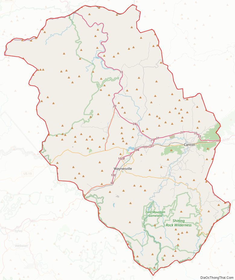
Haywood County Road Map
Geography
According to the U.S. Census Bureau, the county has a total area of 555 square miles (1,440 km), of which 554 square miles (1,430 km) is land and 0.9 square miles (2.3 km) (0.2%) is water.
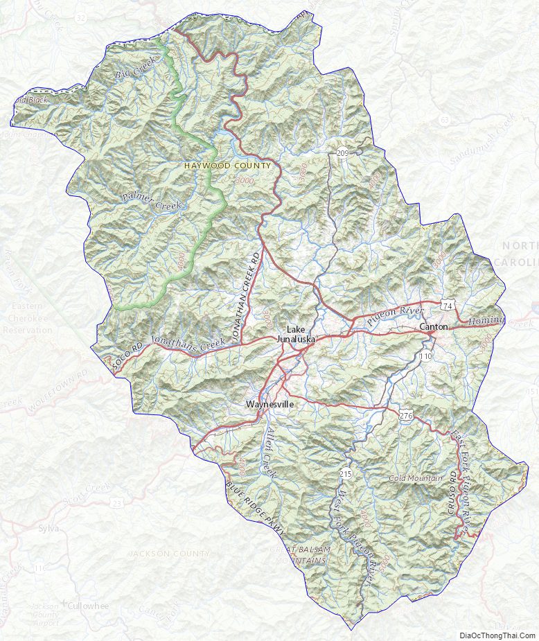
The Pigeon River originates in Haywood County. All rivers and springs that flow in Haywood County originate in the county; no water flows into Haywood County from adjacent counties.
Haywood County is situated amidst the Blue Ridge Mountains and contains parts of several major subranges of the Blue Ridge, namely the Great Smoky Mountains in the west and the Plott Balsams and Great Balsam Mountains in the south. Notable peaks in the county include Cold Mountain, at 6,030 feet (1,840 m), Mount Sterling, at 5,835 feet (1,779 m), and Richland Balsam, at 6,410 feet (1,950 m) in elevation. Mt. Guyot, the county’s highest point at 6,621 feet (2,018 m), is the 4th highest mountain east of the Mississippi River. Black Balsam Knob, in the Great Balsam Mountains in the southeastern section of the county, is the highest grassy bald in the entire Appalachian range. Haywood County is believed to be the highest county (by mean elevation) east of the Mississippi River, with a mean elevation of 3,597 feet or 1,096 metres.
A portion of Great Smoky Mountains National Park lies in the northwestern section of the county, north of Maggie Valley. Along with several mountains rising to over 6,000 feet (1,800 m) in elevation, the Haywood County area of the Smokies includes Cataloochee, which is home to a large campground and several historical structures dating to the 19th and early 20th centuries. Other protected areas include substantial sections of the Pisgah National Forest in the far northeastern and southern parts of the county.
National protected areas
- Blue Ridge Parkway (part)
- Great Smoky Mountains National Park (part)
- Mountains to Sea Trail (part)
- Nantahala National Forest (part)
- Cherokee Indian Reservation/Qualla Boundary (part)
- Middle Prong Wilderness Area
- Shining Rock Wilderness Area (part)
- The Appalachian Trail (part)
State and local protected areas
- Harmon Den Wildlife Management Area (part)
- Pisgah View State Park (part)
Major water bodies
- Bald Creek
- Big Creek
- Cooks Creek
- Cove Creek
- Crabtree Creek
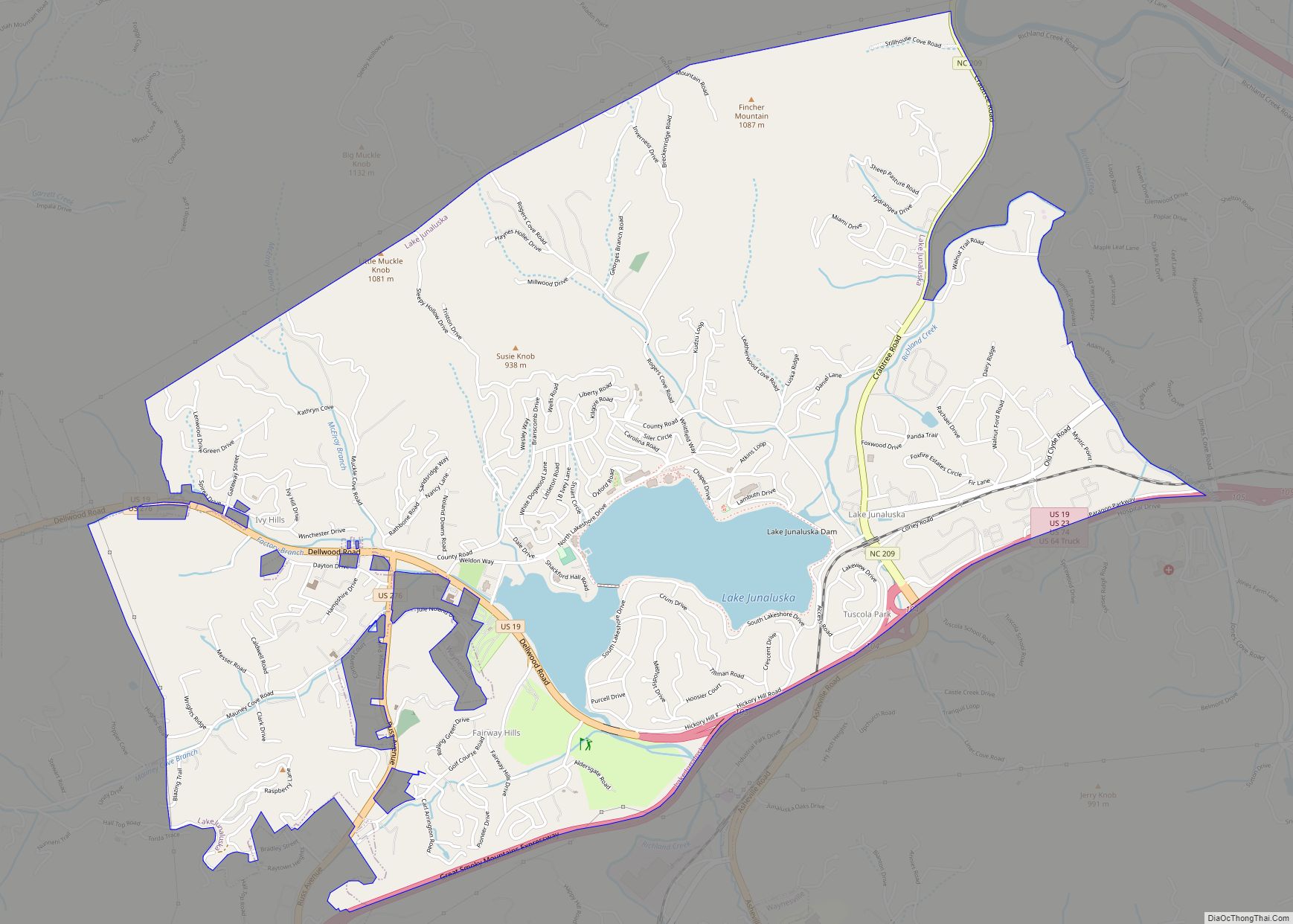
- Lake Junaluska
- Lake Logan
- Laurel Creek
- Little Creek
- Pigeon River
- Rocky Branch Lake
- Waterville Lake
Adjacent counties
- Cocke County, Tennessee – north
- Sevier County, Tennessee – northwest
- Madison County – northeast
- Buncombe County – east
- Henderson County – southeast
- Transylvania County – south
- Jackson County – southwest
- Swain County – west
Major highways
- I-40
- US 19
- US 19 Truck
- US 23
- US 23 Bus.
- US 64 Truck
- US 74
- US 276
- NC 110
- NC 209
- NC 215
Major infrastructure
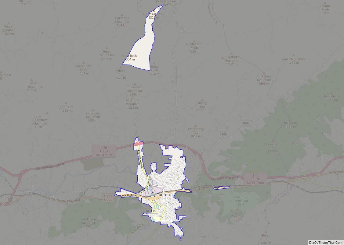
- The Blue Ridge Southern Railroad operates a portion a line through Haywood County, providing a rail connection with the rest of the country. The Blue Ridge Southern Railroad’s main classification yard is located in Canton, which directly serves Evergreen Packaging (owned by International Paper) and originates several local runs.
Haywood County Topographic Map
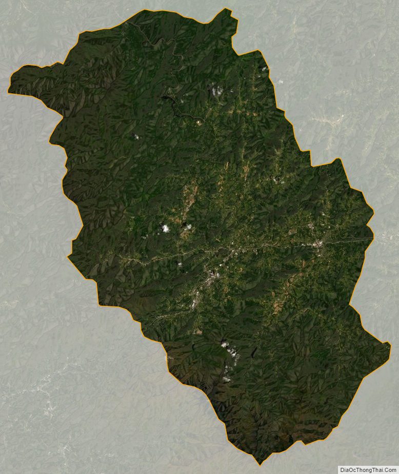
Haywood County Satellite Map
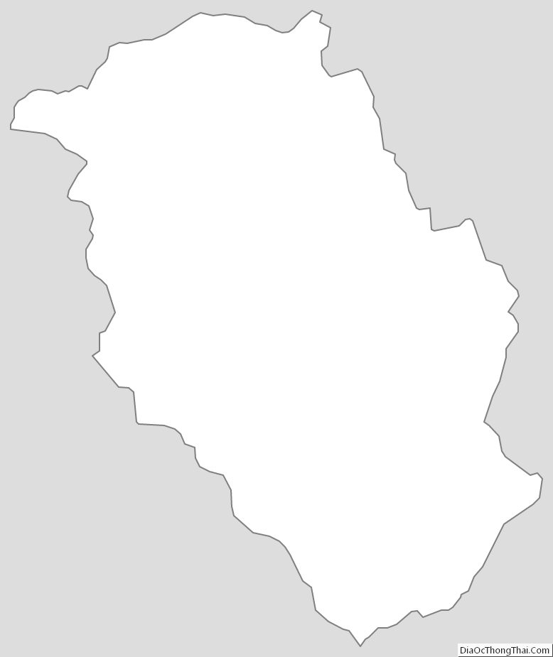
Haywood County Outline Map