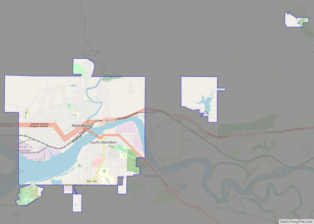
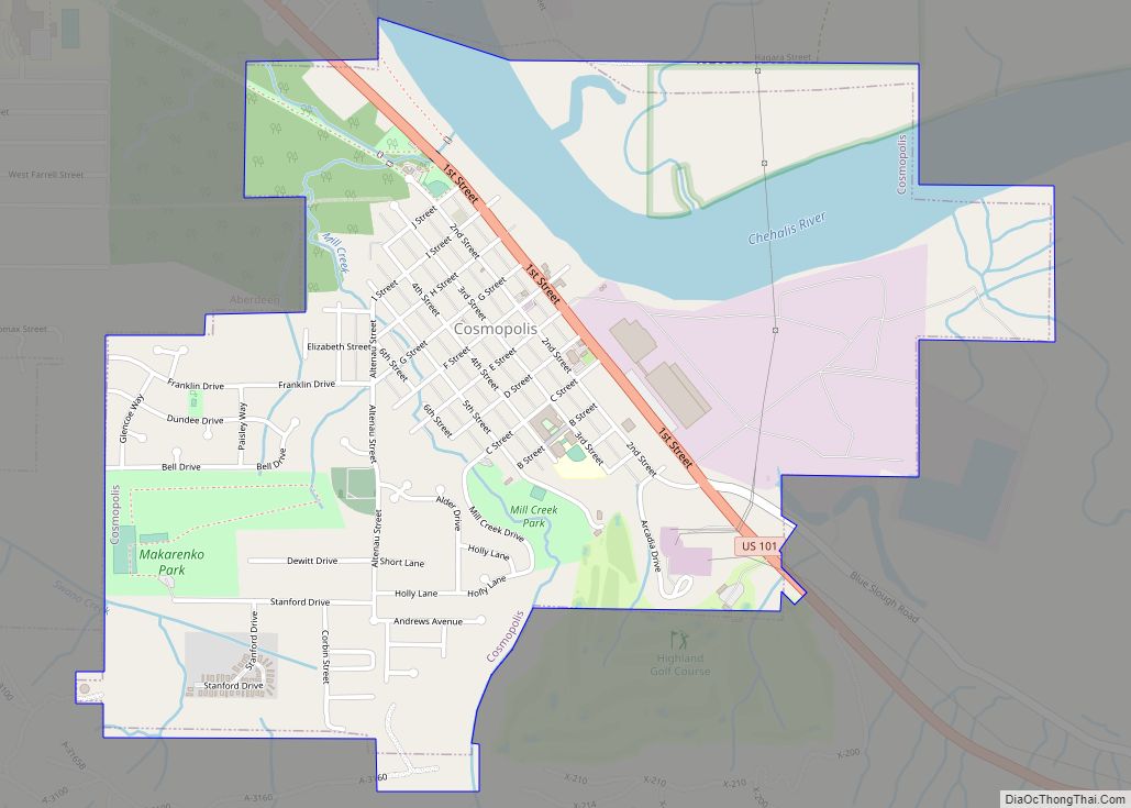
Aberdeen (/ˈæbərdiːn/) is a city in Grays Harbor County, Washington, United States. The population was 17,013 at the 2020 census. The city is the economic center of Grays Harbor County, bordering the cities of Hoquiam and Cosmopolis. Aberdeen is occasionally referred to as the “Gateway to the Olympic Peninsula”.
| Name: | Aberdeen city |
|---|---|
| LSAD Code: | 25 |
| LSAD Description: | city (suffix) |
| State: | Washington |
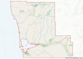
| County: | Grays Harbor County |
| Incorporated: | March 20, 1888 |
| Elevation: | 23 ft (7 m) |
| Land Area: | 10.87 sq mi (28.16 km²) |
| Water Area: | 1.70 sq mi (4.41 km²) |
| Population Density: | 1,541.07/sq mi (595.03/km²) |
| ZIP code: | 98520 |
| Area code: | 360 |
| FIPS code: | 5300100 |
| Website: | aberdeenwa.gov |
Online Interactive Map
Click on ![]() to view map in "full screen" mode.
to view map in "full screen" mode.
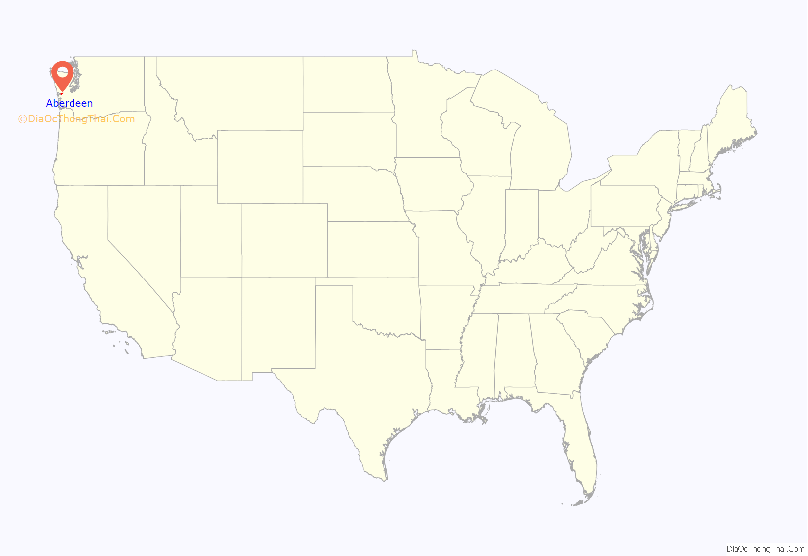
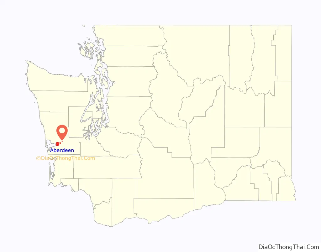
Aberdeen location map. Where is Aberdeen city?
History
Aberdeen was named after a local salmon cannery to reflect its Scottish fishing port namesake Aberdeen, and, like Scotland, Aberdeen is situated at the mouth of two rivers – the Chehalis and the Wishkah.
The city was founded by Samuel Benn in 1884 and incorporated on May 12, 1890. Although it became the largest and best-known city in Grays Harbor, Aberdeen lagged behind nearby Hoquiam and Cosmopolis in its early years. When A.J. West built the town’s first sawmill in 1894, the other two municipalities had been in business for several years. Aberdeen and its neighbors vied to be the terminus for Northern Pacific Railroad, but instead of ending at one of the established mill towns, the railroad skimmed through Cosmopolis and headed west for Ocosta. Hoquiam and Aberdeen citizens together built a spur; in 1895, the line connected Northern Pacific tracks to Aberdeen.
By 1900, Aberdeen had become home to many saloons, brothels, and gambling establishments. It was nicknamed “The Hellhole of the Pacific”, as well as “The Port of Missing Men” due to its high murder rate. One notable resident was Billy Gohl, known locally as Billy “Ghoul”, who was rumored to have killed at least 140 men, disposing of the bodies in the Wishkah River. Gohl was ultimately convicted of two murders.
Aberdeen was hit hard during the Great Depression, which saw the number of major local sawmills reduce from 37 to 9. The timber industry continued to boom, but by the late 1970s most of this resource had been logged and by the early 1990’s the industry was decimated due to resource reduction and regulations. Local political and business leaders ignored this fact and did not pursue economic diversification. Most of the mills had closed down by the 1970s and 1980s.
Aberdeen is also the home port of the tall ship Lady Washington, a reproduction of a smaller vessel used by the explorer Captain Robert Gray, featured in the Pirates of the Caribbean film The Curse of the Black Pearl.
Aberdeen Road Map
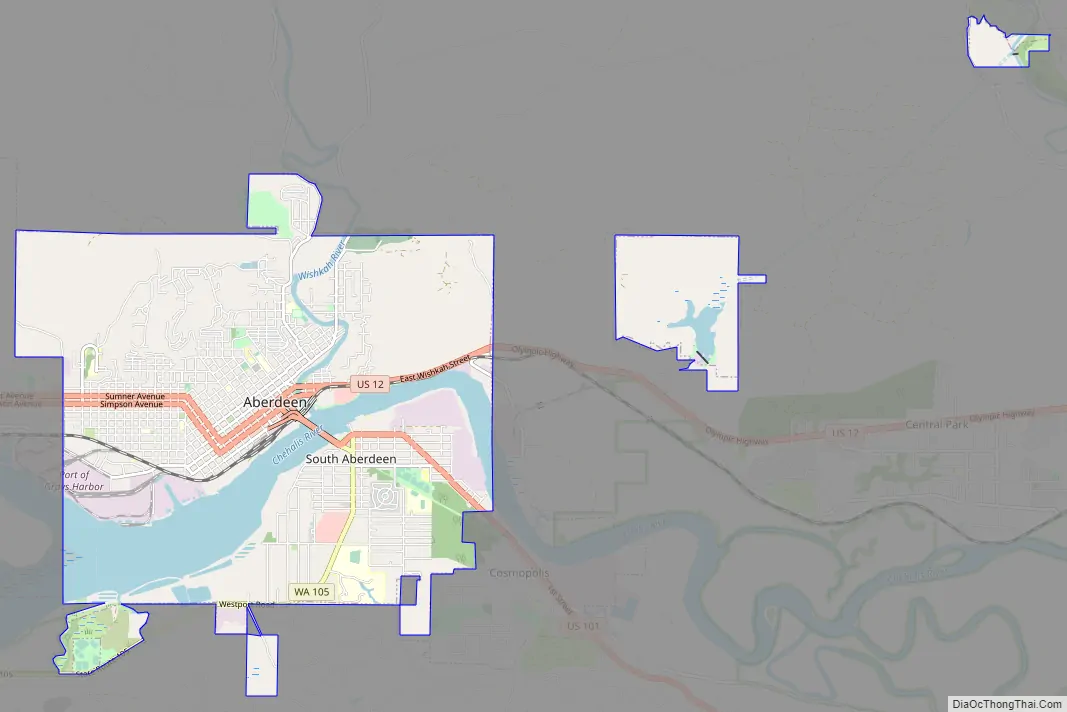
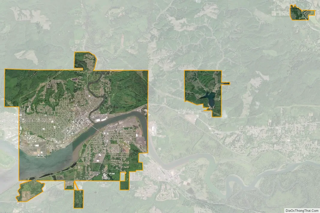
Aberdeen city Satellite Map
Geography
Aberdeen is at the eastern end of Grays Harbor, near the mouth of the Chehalis River and southwest of the Olympic Mountains. Grays Harbor is notable as the northernmost ria on North America’s Pacific Coast because it has remained free of glaciers throughout the Quaternary due to unfavorable topography and warm temperatures. It is thought that, during glacial periods of the Quaternary, the Chehalis River was a major refugium for aquatic species, as was the west coast from the Olympic Peninsula southward for plants that later formed the northern part of the Pacific temperate rainforest in formerly glaciated areas.
According to the United States Census Bureau, the city has a total area of 12.36 square miles (32.01 km), of which 10.65 square miles (27.58 km) is land and 1.71 square miles (4.43 km) is water.
Climate
Aberdeen experiences a climate on the boundary between Mediterranean (Köppen Csb) and oceanic (Köppen Cfb). Although rainfall is extremely high between October and March, July and August still have a distinct excess of evaporation over rainfall. Temperatures are generally very mild due to the proximity of the warm Pacific Ocean and the Kuroshio Current. Snow is very common but usually light, with one exception being December 1964 during which 22.3 inches or 0.57 metres fell. Occasionally, southeasterly winds can cause very high temperatures. For example, in August 1981, the temperature in Aberdeen reached 105 °F (40.6 °C).
See also
Map of Washington State and its subdivision:- Adams
- Asotin
- Benton
- Chelan
- Clallam
- Clark
- Columbia
- Cowlitz
- Douglas
- Ferry
- Franklin
- Garfield
- Grant
- Grays Harbor
- Island
- Jefferson
- King
- Kitsap
- Kittitas
- Klickitat
- Lewis
- Lincoln
- Mason
- Okanogan
- Pacific
- Pend Oreille
- Pierce
- San Juan
- Skagit
- Skamania
- Snohomish
- Spokane
- Stevens
- Thurston
- Wahkiakum
- Walla Walla
- Whatcom
- Whitman
- Yakima
- Alabama
- Alaska
- Arizona
- Arkansas
- California
- Colorado
- Connecticut
- Delaware
- District of Columbia
- Florida
- Georgia
- Hawaii
- Idaho
- Illinois
- Indiana
- Iowa
- Kansas
- Kentucky
- Louisiana
- Maine
- Maryland
- Massachusetts
- Michigan
- Minnesota
- Mississippi
- Missouri
- Montana
- Nebraska
- Nevada
- New Hampshire
- New Jersey
- New Mexico
- New York
- North Carolina
- North Dakota
- Ohio
- Oklahoma
- Oregon
- Pennsylvania
- Rhode Island
- South Carolina
- South Dakota
- Tennessee
- Texas
- Utah
- Vermont
- Virginia
- Washington
- West Virginia
- Wisconsin
- Wyoming