Montesano is a city in Grays Harbor County, Washington, United States. The population was 4,138 at the 2020 census. It is the county seat of Grays Harbor County.
| Name: | Montesano city |
|---|---|
| LSAD Code: | 25 |
| LSAD Description: | city (suffix) |
| State: | Washington |
| County: | Grays Harbor County |
| Elevation: | 66 ft (20 m) |
| Total Area: | 10.54 sq mi (27.30 km²) |
| Land Area: | 10.38 sq mi (26.89 km²) |
| Water Area: | 0.16 sq mi (0.40 km²) |
| Total Population: | 4,138 |
| Population Density: | 390.25/sq mi (150.67/km²) |
| ZIP code: | 98563 |
| Area code: | 360 |
| FIPS code: | 5346895 |
| GNISfeature ID: | 1511681 |
| Website: | CityofMontesano.com |
Online Interactive Map
Click on ![]() to view map in "full screen" mode.
to view map in "full screen" mode.
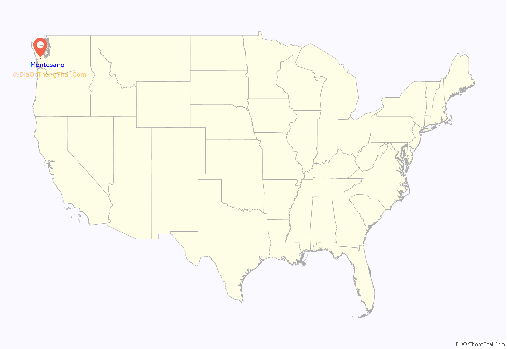
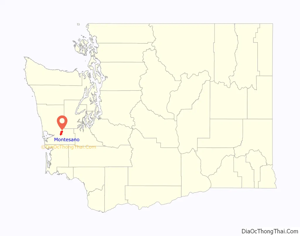
Montesano location map. Where is Montesano city?
History
Medcalf Prairie
According to Edwin Van Syckle, a portion of the present-day town of Montesano was first platted in 1870 by Samuel Henry Williams, who purchased land in what was known as Medcalf Prairie, named after the early settler William Medcalf. At about the same time, surveyor Charles Newton Byles bought a farm from Walter King on the present-day site of Montesano on April 9, 1870, and later platted three blocks on the west side of Main Street. The town of Montesano was born, but it was not incorporated until November 26, 1883, by the Washington Territorial Legislature.
South Montesano
Prior to that time, the name Montesano was used to refer to the homestead of Isaiah Lancaster Scammon and his wife Lorinda. They filed a 640-acre Donation Land Claim on January 15, 1853, on the Chehalis River, opposite the mouth of the Wynoochee River, in the area now referred to as South Montesano. The Scammon home was often referred to as “Scammon’s Landing” or “Scammon’s Hotel”, because it was an important stopping point along the Chehalis River for early pioneers, and the furthest up-river mooring point and railroad junction for seagoing ships.
According to Edmond S. Meany, in 1860 the seat of what was then called Chehalis County was moved to “the place of J.L. Scammons”. Mrs. Lorinda Scammon was very religious and wished to have the place named “Mount Zion”. Another early settler, Samuel James, suggested “Montesano”, which was derived from Spanish meaning “mountain of health”; it was said that this had a more pleasant sound and meant about the same. The suggestion was approved, and soon after, a post office was secured with the name “Montesano”. The people of Chehalis County voted to move the county seat to the platted town of Montesano in 1886, and the Scammon home was then known as South Montesano.
Recent
In 2012, a man calling himself Michael Thomas entered the county courthouse where he struggled with a deputy sheriff, shooting her in the shoulder with her own gun. He also stabbed in the neck a judge trying to assist the deputy. Later identified as Steven Daniel Kravetz, the assailant was convicted on assault charges and acquitted of attempted murder.
Montesano Road Map
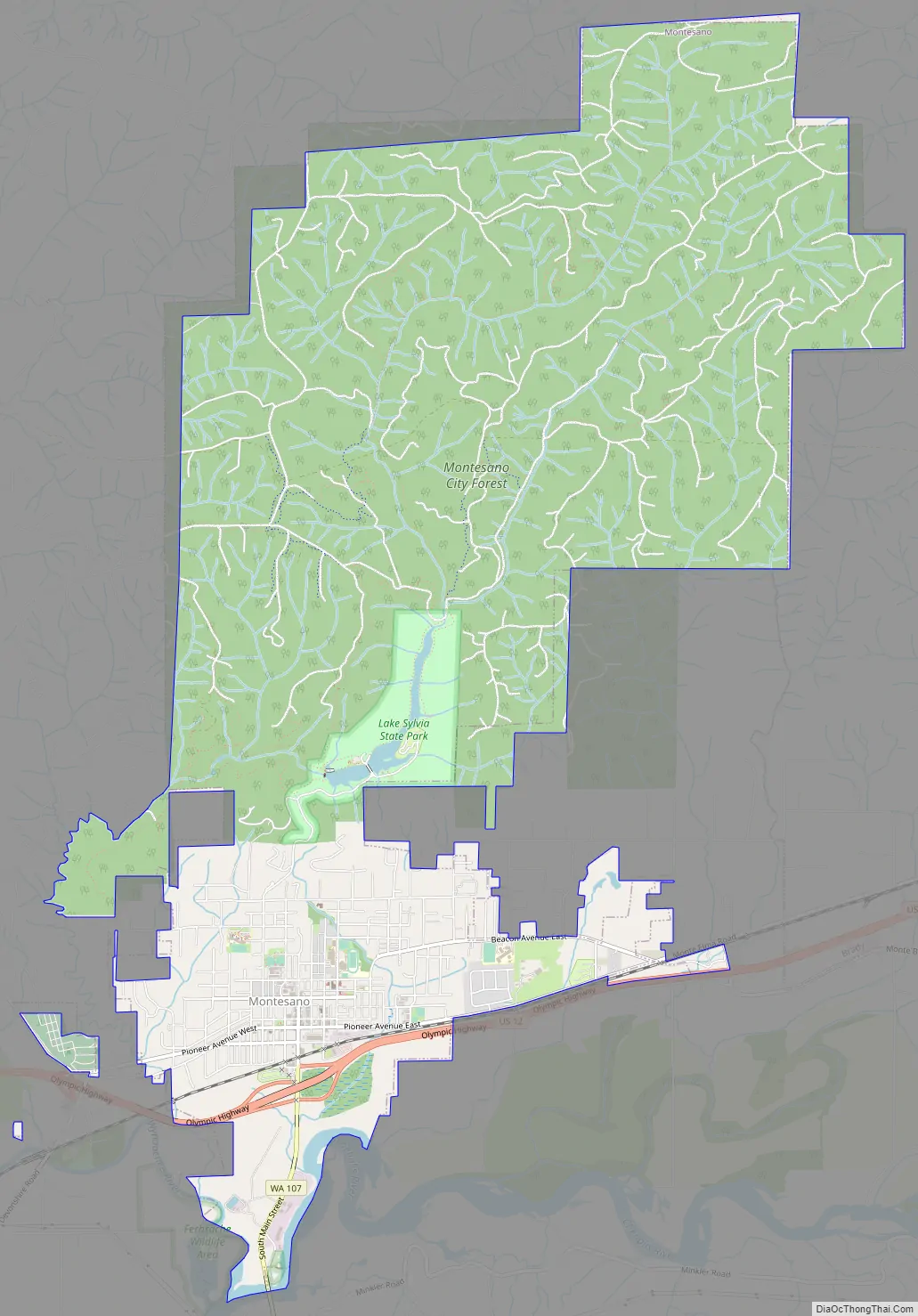
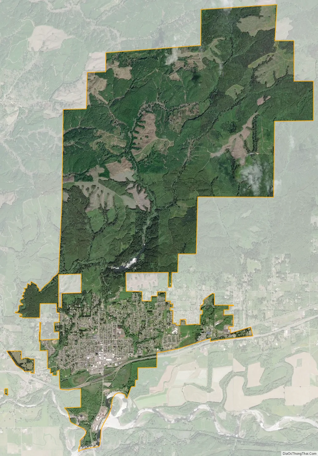
Montesano city Satellite Map
Geography
Montesano is located at 46°59′9″N 123°35′52″W / 46.98583°N 123.59778°W / 46.98583; -123.59778 (46.985865, -123.597726). It is on the north slope of the Chehalis River valley, near the confluence of the Wynoochee River and Chehalis River. The town is bordered on the north by Lake Sylvia and on the west by Sylvia Creek.
According to the United States Census Bureau, the city has a total area of 10.58 square miles (27.40 km), of which 10.41 square miles (26.96 km) are land and 0.17 square miles (0.44 km) are water.
Climate
This region experiences warm (but not hot) and relatively dry summers, with no average monthly temperatures above 71.6 °F (22 °C) and very wet autumns and springs due to the maritime winds. According to the Köppen Climate Classification system, Montesano is in a region of oceanic climate, abbreviated Cfb on climate maps due to frequent summer rainfall, even though there is a significant drying trend during that season. The summer highs are hotter than in Aberdeen courtesy of its inland position. This also renders frequent but most often minor frosts in winter, with the climate retaining a significant maritime influence.
See also
Map of Washington State and its subdivision:- Adams
- Asotin
- Benton
- Chelan
- Clallam
- Clark
- Columbia
- Cowlitz
- Douglas
- Ferry
- Franklin
- Garfield
- Grant
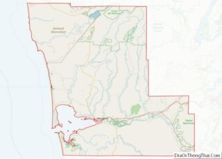
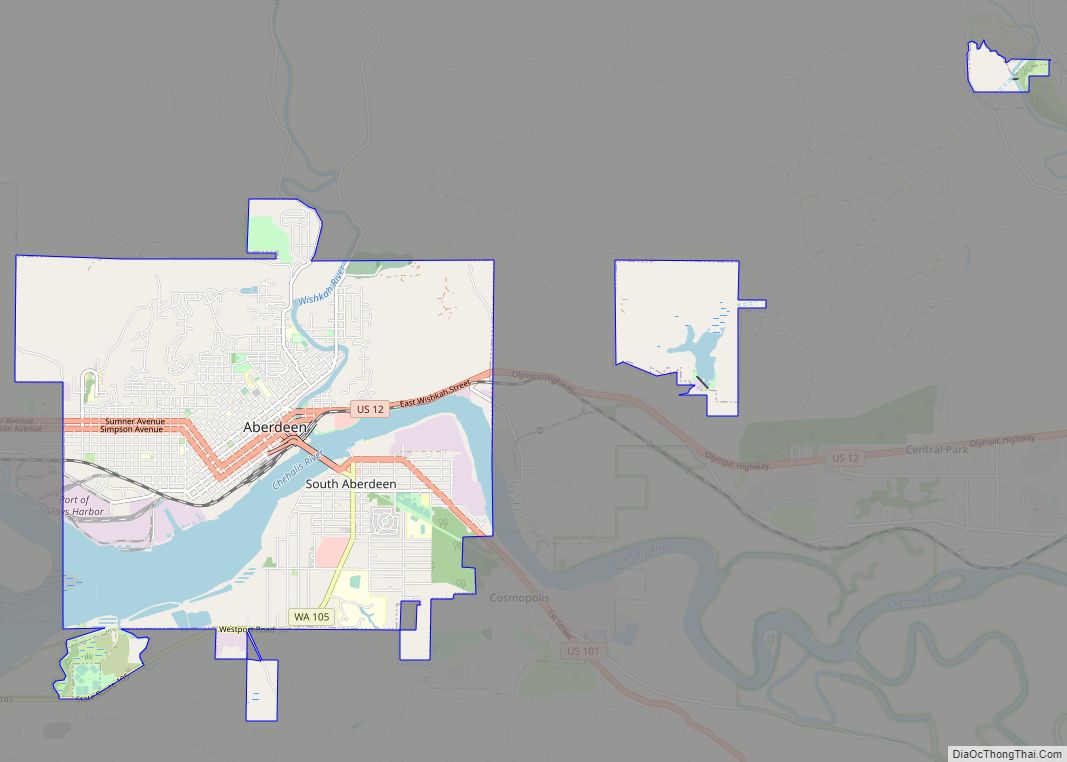
- Grays Harbor
- Island
- Jefferson
- King
- Kitsap
- Kittitas
- Klickitat
- Lewis
- Lincoln
- Mason
- Okanogan
- Pacific
- Pend Oreille
- Pierce
- San Juan
- Skagit
- Skamania
- Snohomish
- Spokane
- Stevens
- Thurston
- Wahkiakum
- Walla Walla
- Whatcom
- Whitman
- Yakima
- Alabama
- Alaska
- Arizona
- Arkansas
- California
- Colorado
- Connecticut
- Delaware
- District of Columbia
- Florida
- Georgia
- Hawaii
- Idaho
- Illinois
- Indiana
- Iowa
- Kansas
- Kentucky
- Louisiana
- Maine
- Maryland
- Massachusetts
- Michigan
- Minnesota
- Mississippi
- Missouri
- Montana
- Nebraska
- Nevada
- New Hampshire
- New Jersey
- New Mexico
- New York
- North Carolina
- North Dakota
- Ohio
- Oklahoma
- Oregon
- Pennsylvania
- Rhode Island
- South Carolina
- South Dakota
- Tennessee
- Texas
- Utah
- Vermont
- Virginia
- Washington
- West Virginia
- Wisconsin
- Wyoming