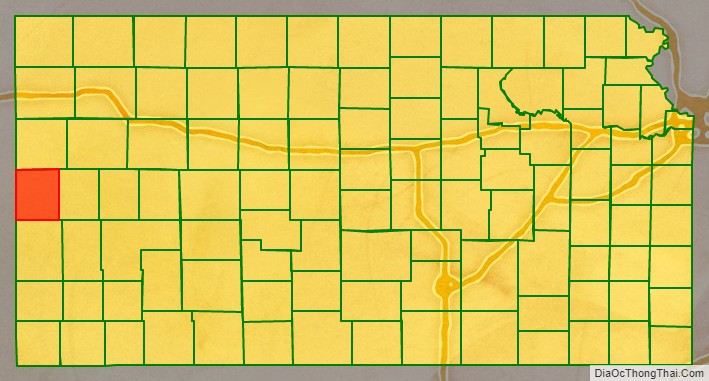
Greeley County (county code: GL) is a county located in western Kansas, in the Central United States. Its county seat and largest city is Tribune. As of the 2020 census, the population was 1,284, the least populous county in Kansas. As of 2018, it is tied with Wallace County as the least densely populated county in the state. The county is named after Horace Greeley of Chappaqua, New York, editor of the New York Tribune. Greeley encouraged western settlement with the motto “Go West, young man”.
| Name: | Greeley County |
|---|---|
| FIPS code: | 20-071 |
| State: | Kansas |
| Founded: | March 20, 1873 |
| Named for: | Horace Greeley |
| Seat: | Tribune |
| Largest city: | Tribune |
| Total Area: | 778 sq mi (2,020 km²) |
| Land Area: | 778 sq mi (2,020 km²) |
| Total Population: | 1,284 |
| Population Density: | 1.7/sq mi (0.7/km²) |
| Time zone: | UTC−7 (Mountain) |
| Summer Time Zone (DST): | UTC−6 (MDT) |
| Website: | greeleycounty.org |
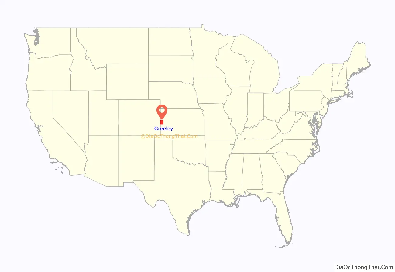
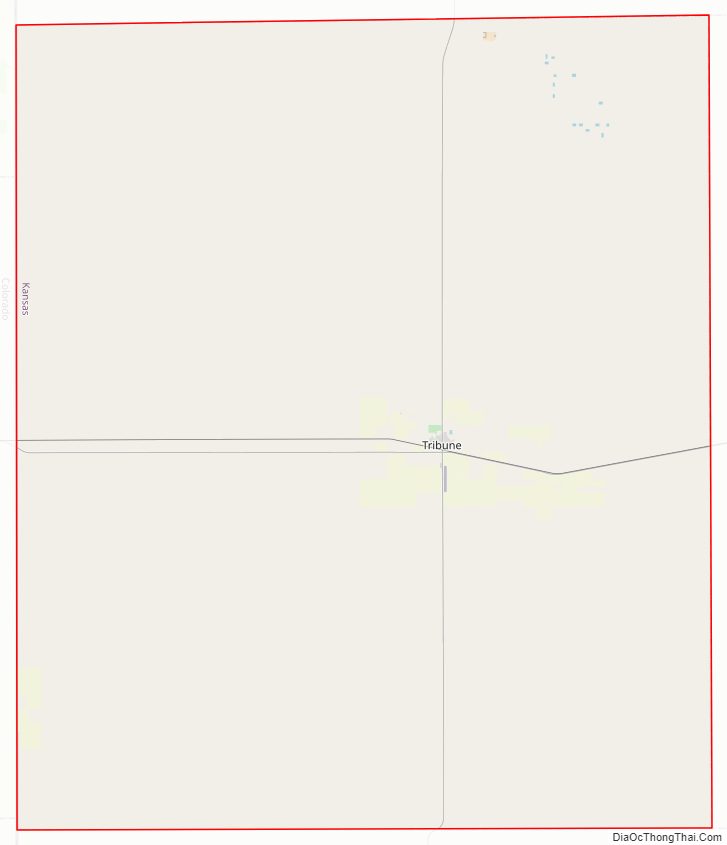
Greeley County location map. Where is Greeley County?
History
Early history
For many millennia, the Great Plains of North America was inhabited by nomadic Native Americans. From the 16th century to 18th century, the Kingdom of France claimed ownership of large parts of North America. In 1762, after the French and Indian War, France secretly ceded New France to Spain, per the Treaty of Fontainebleau.
19th century
In 1802, Spain returned most of the land to France, but keeping title to about 7,500 square miles. In 1803, most of the land for modern day Kansas was acquired by the United States from France as part of the 828,000 square mile Louisiana Purchase for 2.83 cents per acre.
In 1854, the Kansas Territory was organized, then in 1861 Kansas became the 34th U.S. state. In 1873, Greeley County was established.
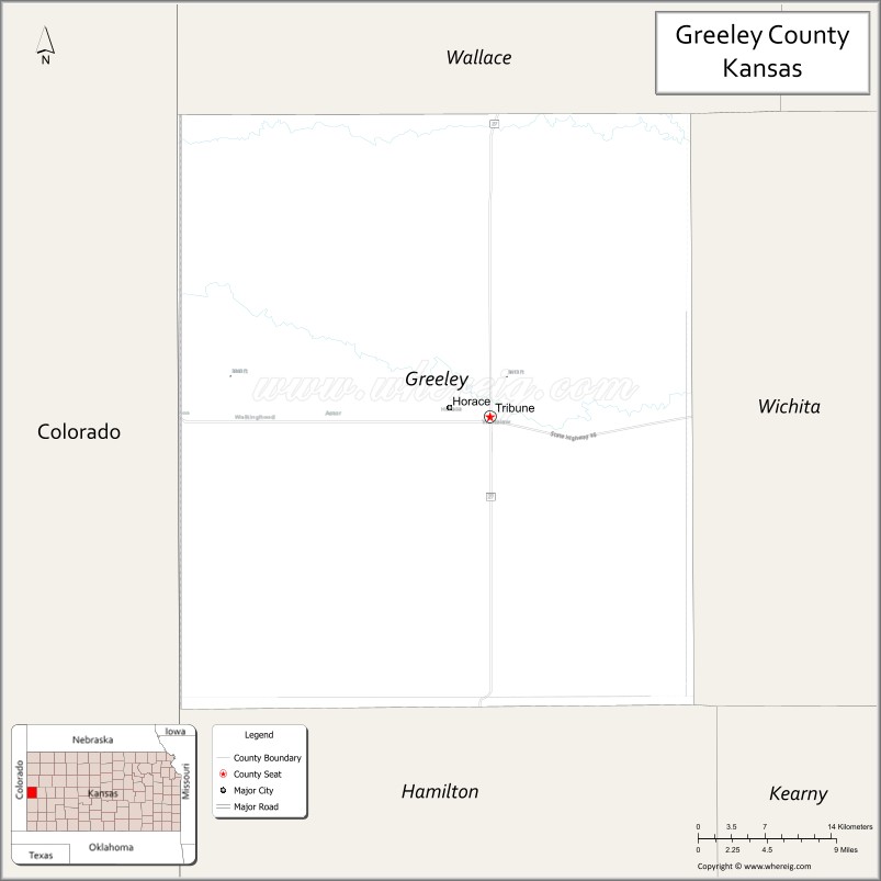
Greeley County Road Map
Geography
According to the United States Census Bureau, the county has a total area of 778 square miles (2,020 km), all of which is land. It is the largest of five United States counties and twelve (Virginia) independent cities that officially have no water area.
Adjacent counties
- Wallace County (north)
- Wichita County (east/Central Time border)
- Hamilton County (south)
- Prowers County, Colorado (southwest)
- Kiowa County, Colorado (west)
- Cheyenne County, Colorado (northwest)
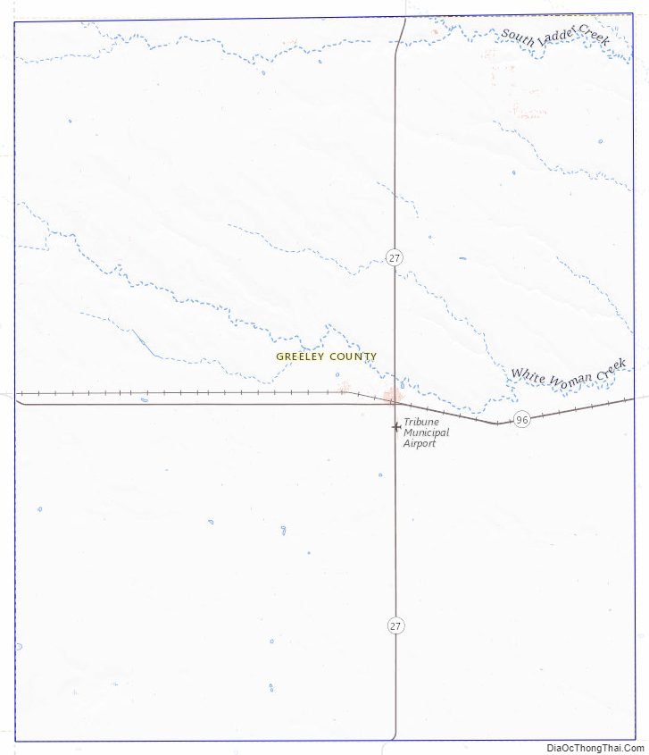
Greeley County Topographic Map
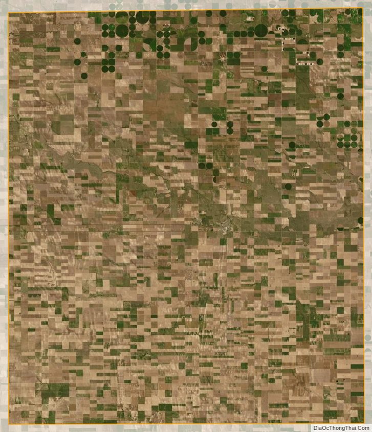
Greeley County Satellite Map
Greeley County Outline Map