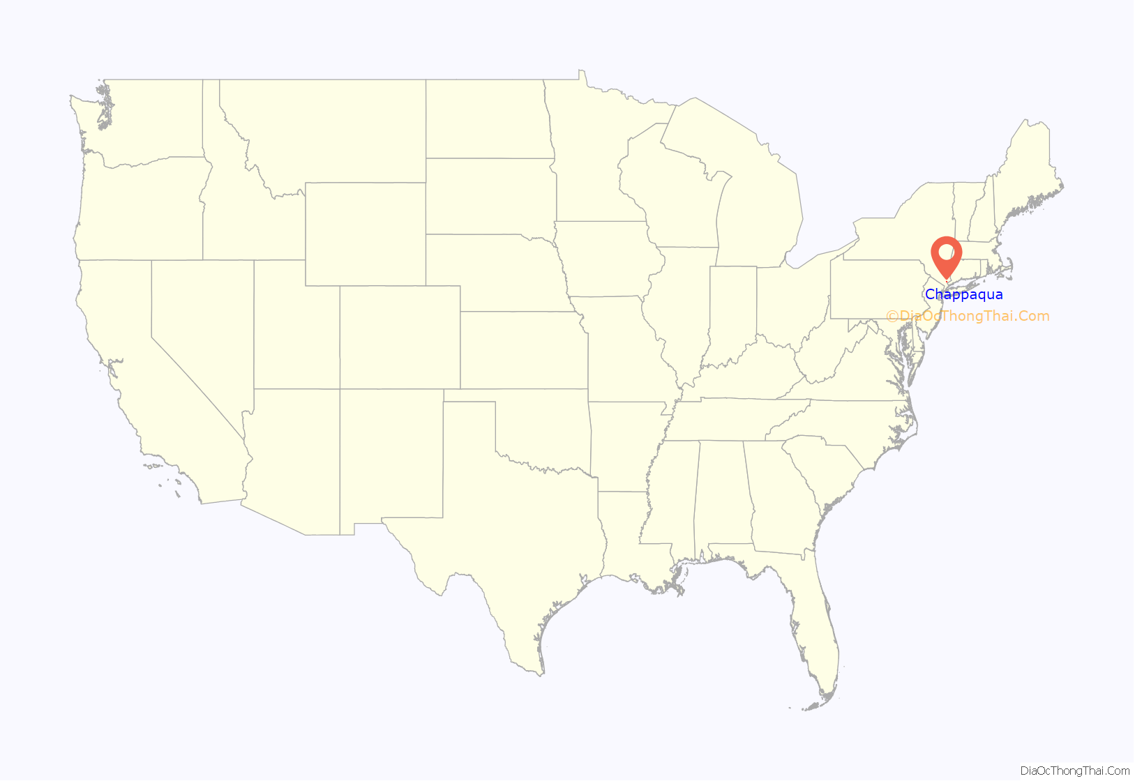
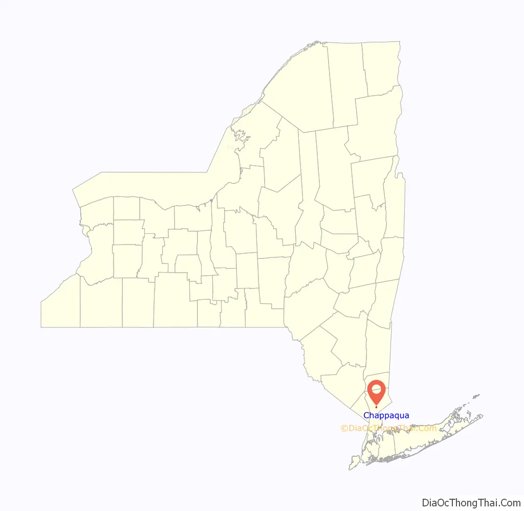
Chappaqua (/ˈtʃæpəkwɑː/ CHAP-ə-kwah) is a hamlet and census-designated place in the town of New Castle, in northern Westchester County, New York. It is approximately 30 miles (50 km) north of New York City. The hamlet is served by the Chappaqua station of the Metro-North Railroad’s Harlem Line. In the New York State Legislature it is within the New York State Assembly’s 93rd district and the New York Senate’s 40th district. In Congress the village is in New York’s 17th District.
Chappaqua was founded by a group of Quakers in the 1730s and was the home of Horace Greeley, New-York Tribune editor and U.S. congressman. Since the late 1990s, former President Bill Clinton and former Secretary of State Hillary Clinton have lived there.
| Name: | Chappaqua CDP |
|---|---|
| LSAD Code: | 57 |
| LSAD Description: | CDP (suffix) |
| State: | New York |
| County: | Westchester County |
| Elevation: | 330 ft (100 m) |
| Total Area: | 0.92 sq mi (2.39 km²) |
| Land Area: | 0.91 sq mi (2.35 km²) |
| Water Area: | 0.02 sq mi (0.04 km²) |
| Total Population: | 2,598 |
| Population Density: | 2,867.55/sq mi (1,107.16/km²) |
| ZIP code: | 10514 |
| Area code: | 914 (Exchange: 238) |
| FIPS code: | 3613805 |
| GNISfeature ID: | 946393 |
| Website: | www.mynewcastle.org |
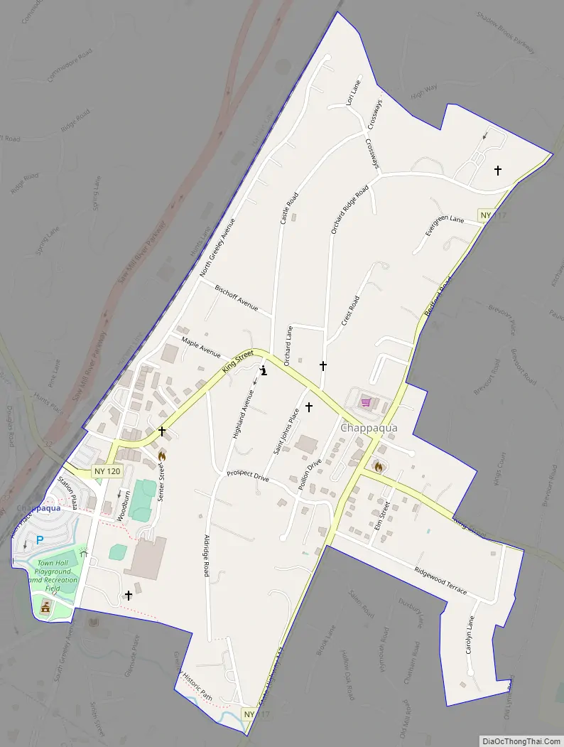
Online Interactive Map
Click on ![]() to view map in "full screen" mode.
to view map in "full screen" mode.
Chappaqua location map. Where is Chappaqua CDP?
History
In the early 1730s, a group of Quakers moved north from Purchase, New York, to settle in present-day Chappaqua. They built their homes on Quaker Road (more recently, Quaker Street) and held their meetings at the home of Abel Weeks. Their meeting house was built in 1753 and still holds weekly meetings each Sunday. The area around the meeting house, known as Old Chappaqua Historic District, was added to the National Register of Historic Places in 1974. Horace Greeley’s home, known as Rehoboth and built by Greeley himself, still stands in Chappaqua. It is also listed on the National Register of Historic Places along with Chappaqua Railroad Depot and Depot Plaza, Church of Saint Mary the Virgin and Greeley Grove, and the Greeley House.
Various spellings were used for the name they heard Native Americans use for their valley and hillside. It was an Algonquian word, shah-pah-ka, and it meant “the rustling land” or “the rattling land,” or a place where nothing is heard but the rustling of the wind in the leaves. The Quakers spelled it Shapiqua, Shapaqua, Shapequa, Shappaqua, and, finally, Chappaqua. Their meeting was often referred to as the Shapequa Meeting as early as 1745.
On March 18, 1791, the government of New York decided to split the overly large town of North Castle (jokingly called “the two saddlebags”) into two smaller towns, one of which was named New Castle. The border was drawn from the southwest corner of Bedford to the northeast edge of Mount Pleasant. New Castle’s borders have remained the same since 1791, except for a small piece of land received from Somers in 1846 and the secession of Mount Kisco in 1978.
Chappaqua had great streams such as the Saw Mill River and Roaring Brook. These bodies of water powered mills to crush corn and press oil from beans. The eastern half of Chappaqua was very suitable for farming. The majority of the Quaker settlers of Chappaqua were farmers. The popular farming industry also helped give way to Chappaqua’s high milk production. Other popular industries from Chappaqua included shoes, hardware, vinegar, pickles, eyeglasses, and furniture. Many early homes and businesses were demolished in the 1904 Chappaqua tornado.
In 1846 when the New York and Harlem Railroad extended through Chappaqua, business became centered on the new train station. These businesses included a hotel, livery stables, a public library, and various stores and small factories. The railroad enabled commuters to travel to New York City and back each day.
Chappaqua Road Map
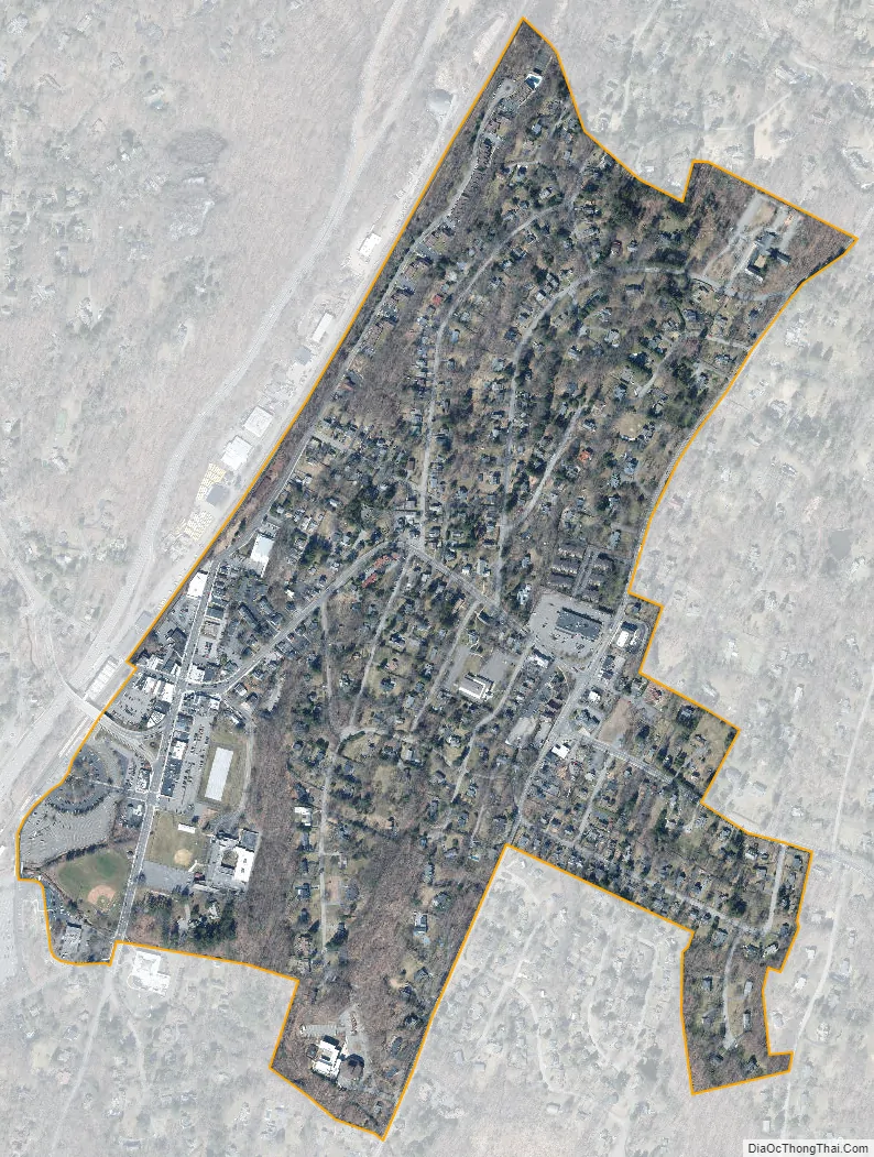
Chappaqua city Satellite Map
Geography
According to the 2020 U.S. census, Chappaqua has a total area of 0.45 square miles (1.2 km), all land. As delineated for the 2000 census, the CDP of Chappaqua covered a much greater area: 9.44 square miles (24.4 km), of which 9.38 square miles (24.3 km) was land and 0.06 square miles (0.16 km), or 0.64%, was water.
Parts of the Chappaqua ZIP Code area are located in the towns of Mount Kisco, New Castle, Mount Pleasant, Yorktown, and Bedford, and the hamlet of Millwood. Parts of the Chappaqua Central School District include homes in other zip codes, such as 10570, the Pleasantville zip code.
Climate
See also
Map of New York State and its subdivision:- Albany
- Allegany
- Bronx
- Broome
- Cattaraugus
- Cayuga
- Chautauqua
- Chemung
- Chenango
- Clinton
- Columbia
- Cortland
- Delaware
- Dutchess
- Erie
- Essex
- Franklin
- Fulton
- Genesee
- Greene
- Hamilton
- Herkimer
- Jefferson
- Kings
- Lake Ontario
- Lewis
- Livingston
- Madison
- Monroe
- Montgomery
- Nassau
- New York
- Niagara
- Oneida
- Onondaga
- Ontario
- Orange
- Orleans
- Oswego
- Otsego
- Putnam
- Queens
- Rensselaer
- Richmond
- Rockland
- Saint Lawrence
- Saratoga
- Schenectady
- Schoharie
- Schuyler
- Seneca
- Steuben
- Suffolk
- Sullivan
- Tioga
- Tompkins
- Ulster
- Warren
- Washington
- Wayne
- Westchester
- Wyoming
- Yates
- Alabama
- Alaska
- Arizona
- Arkansas
- California
- Colorado
- Connecticut
- Delaware
- District of Columbia
- Florida
- Georgia
- Hawaii
- Idaho
- Illinois
- Indiana
- Iowa
- Kansas
- Kentucky
- Louisiana
- Maine
- Maryland
- Massachusetts
- Michigan
- Minnesota
- Mississippi
- Missouri
- Montana
- Nebraska
- Nevada
- New Hampshire
- New Jersey
- New Mexico
- New York
- North Carolina
- North Dakota
- Ohio
- Oklahoma
- Oregon
- Pennsylvania
- Rhode Island
- South Carolina
- South Dakota
- Tennessee
- Texas
- Utah
- Vermont
- Virginia
- Washington
- West Virginia
- Wisconsin
- Wyoming


