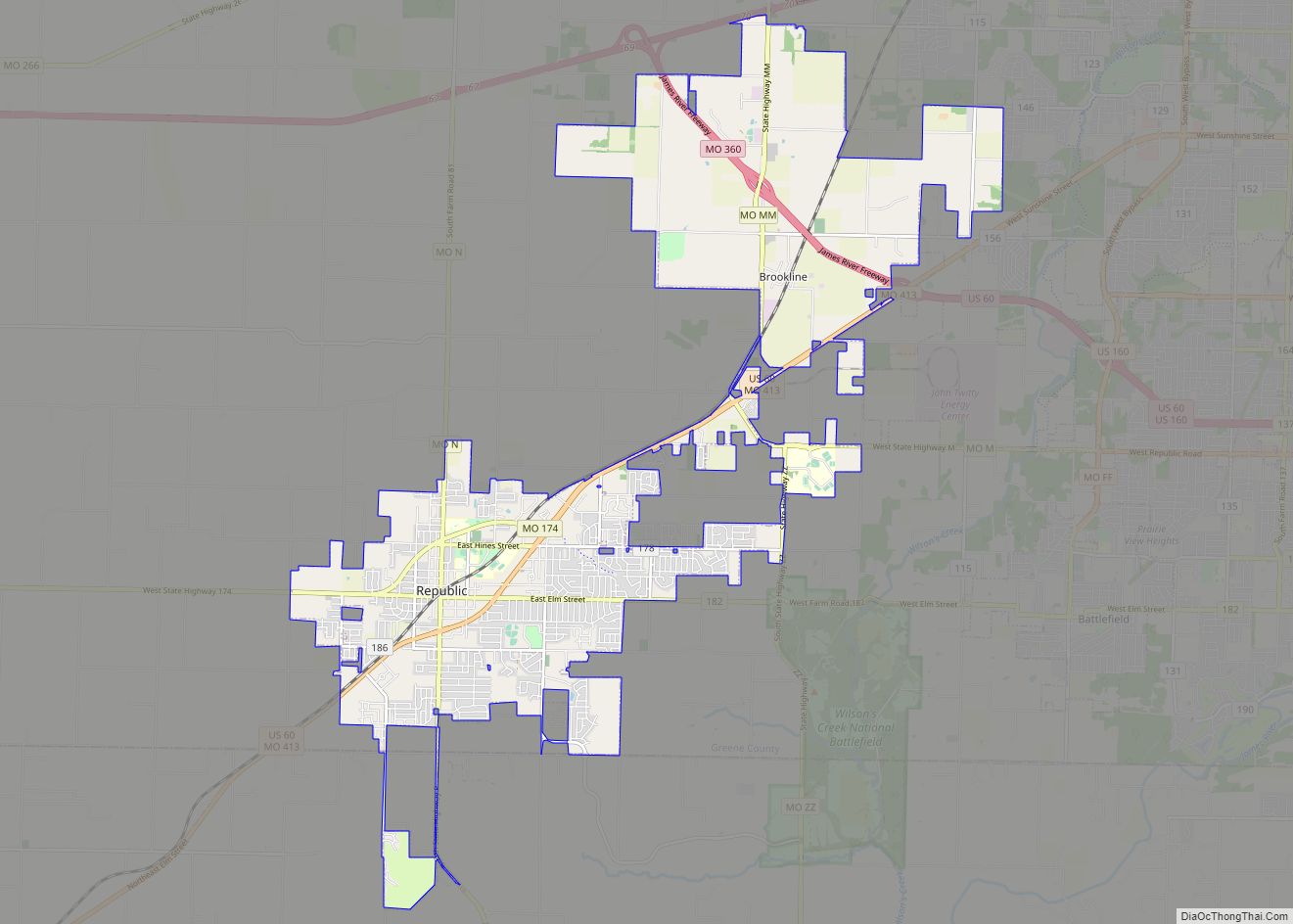
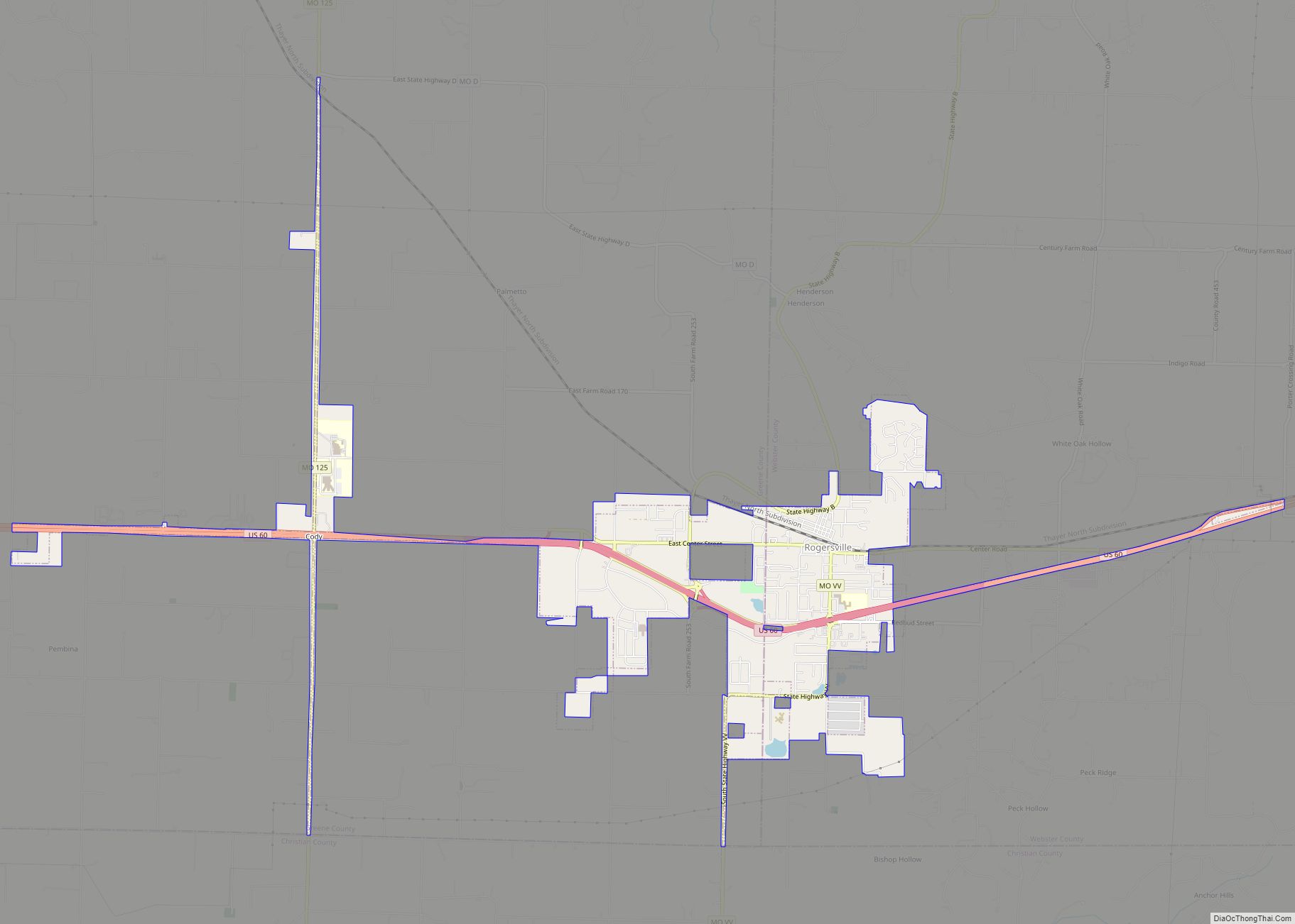
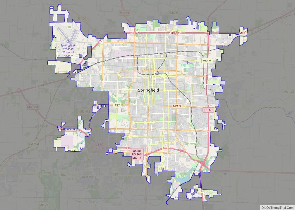
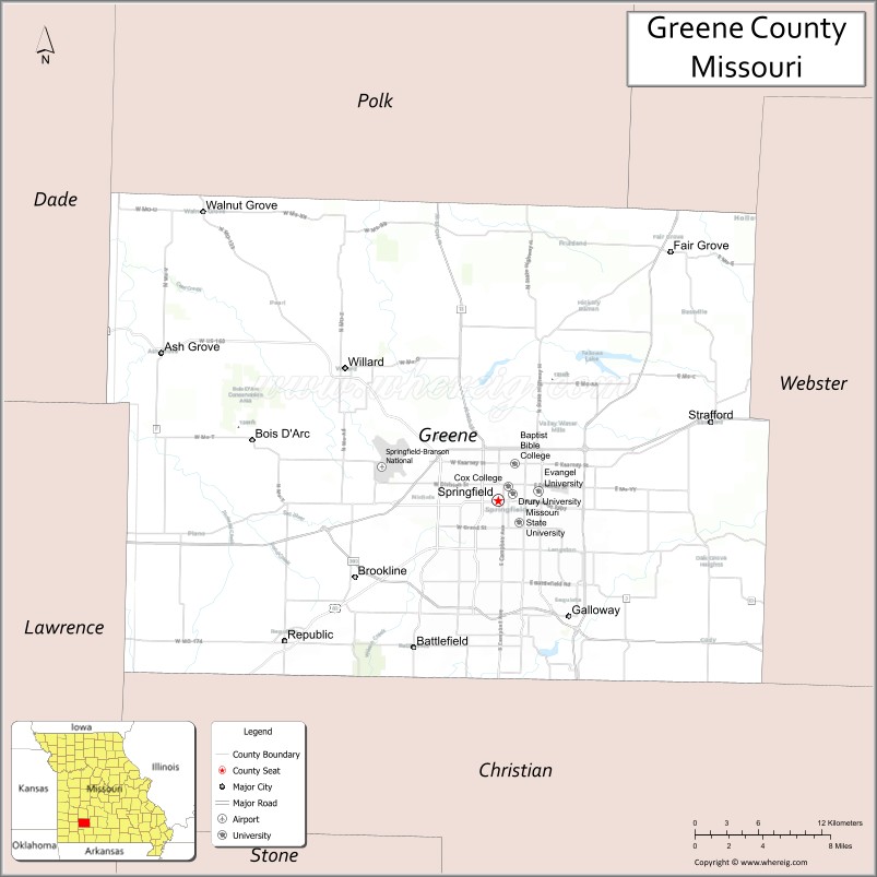
Greene County is located in the U.S. state of Missouri. As of the 2020 census, its population was 298,915. making it the fourth most-populous county in Missouri. Its county seat and most-populous city is Springfield. The county was organized in 1833 and is named after American Revolutionary War General Nathanael Greene.
Greene County is included in the Springfield metropolitan area.
| Name: | Greene County |
|---|---|
| FIPS code: | 29-077 |
| State: | Missouri |
| Founded: | January 2, 1833 |
| Named for: | Nathanael Greene |
| Seat: | Springfield |
| Largest city: | Springfield |
| Total Area: | 678 sq mi (1,760 km²) |
| Land Area: | 675 sq mi (1,750 km²) |
| Total Population: | 298,915 |
| Population Density: | 440/sq mi (170/km²) |
| Time zone: | UTC−6 (Central) |
| Summer Time Zone (DST): | UTC−5 (CDT) |
| Website: | www.greenecountymo.org |
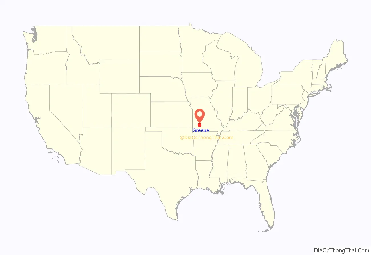
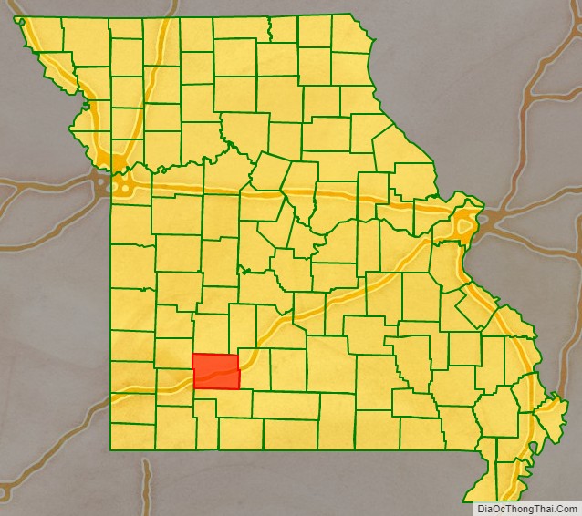
Greene County location map. Where is Greene County?
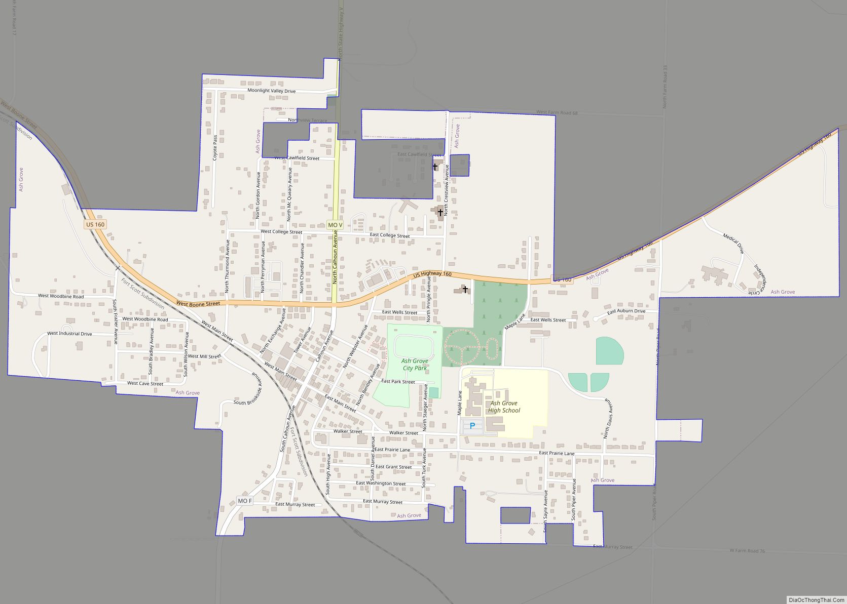
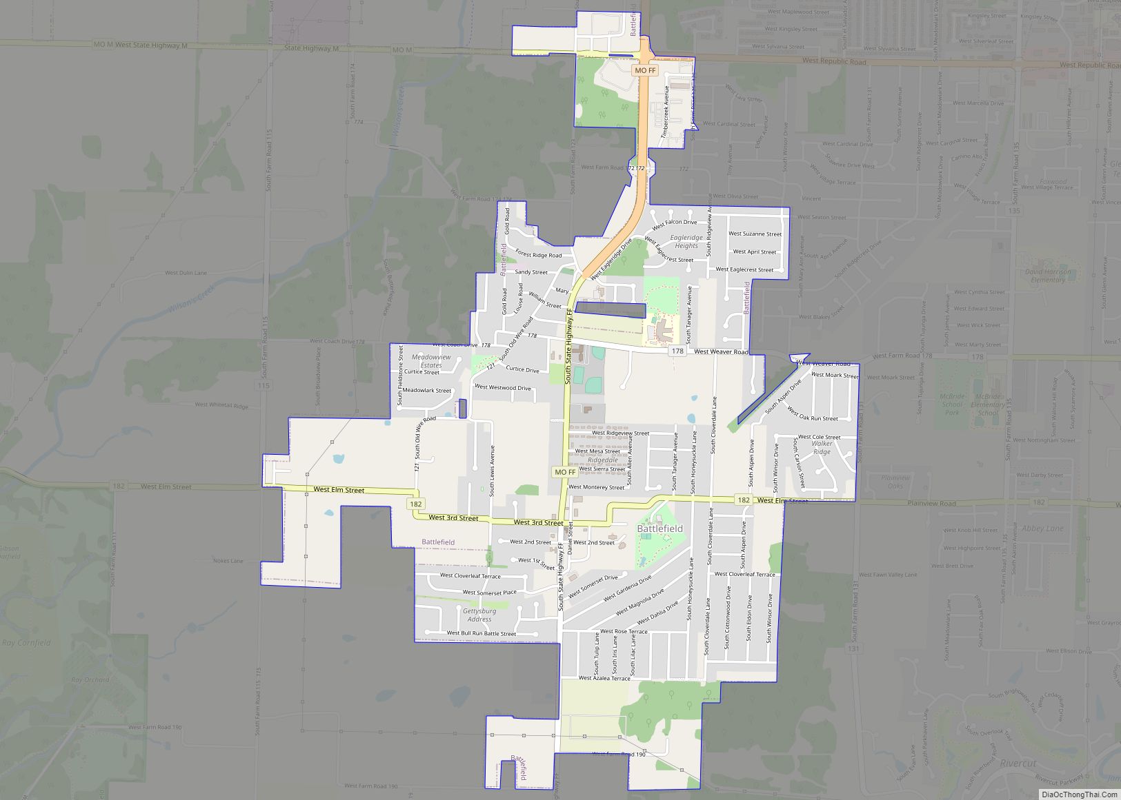
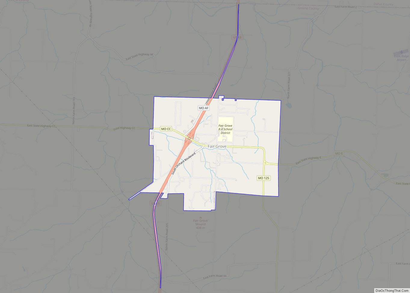
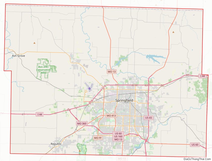
Greene County Road Map
Geography
According to the United States Census Bureau, the county has a total area of 678 square miles (1,760 km), of which 675 square miles (1,750 km) is land and 2.6 square miles (6.7 km) (0.4%) is water.
Adjacent counties
- Polk County (north)
- Dallas County (northeast)
- Webster County (east)
- Christian County (south)
- Lawrence County (southwest)
- Dade County (northwest)
National protected area
- Wilson’s Creek National Battlefield
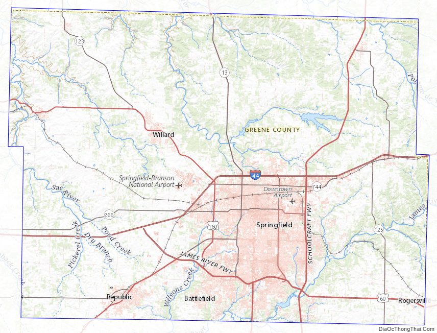
Greene County Topographic Map
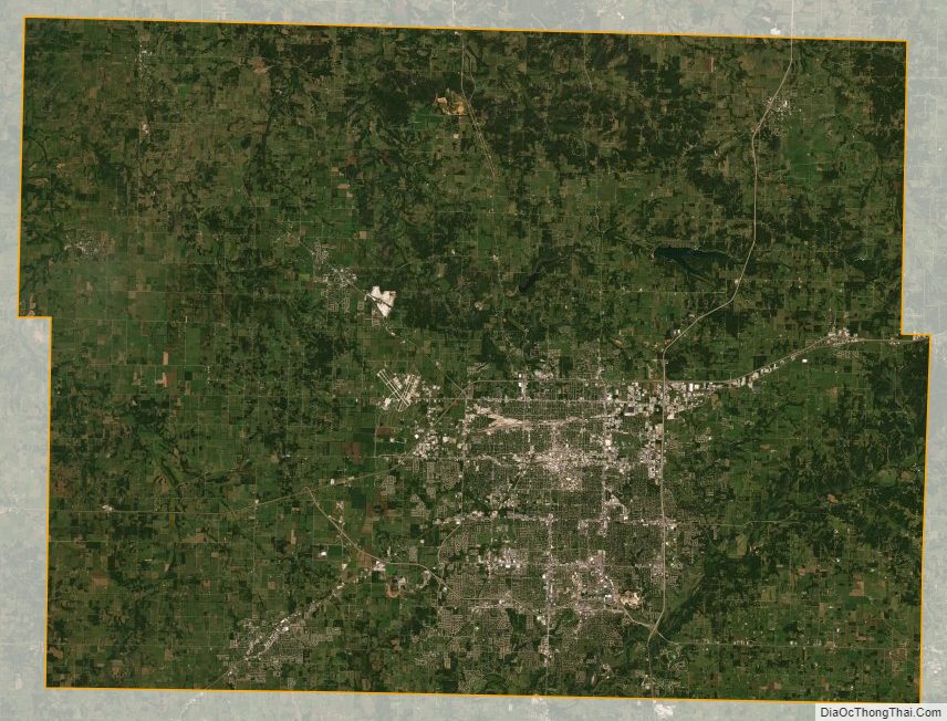
Greene County Satellite Map
Greene County Outline Map