Lawrence County is located in the southwest portion of the U.S. state of Missouri, in the area of the Ozarks. As of the 2010 census, the population was 38,634. Its county seat is Mount Vernon. The county was organized in 1845 and named for James Lawrence, a naval officer from the War of 1812 known for his battle cry, “Don’t give up the ship!”
A previous Lawrence County, established in 1815 with its county seat at what is now Davidsonville Historic State Park in Arkansas, covered much of what is now southern Missouri and the northern third of Arkansas. When the Arkansas Territory was created from Missouri Territory in 1819, some of that earlier county became organized as Lawrence County, Arkansas.
Just before that, in 1818, Missouri divided its part of the old Lawrence County into Wayne County and Madison County; with population increases, those counties were later divided into others, including the present Lawrence County.
| Name: | Lawrence County |
|---|---|
| FIPS code: | 29-109 |
| State: | Missouri |
| Founded: | February 14, 1845 |
| Named for: | James Lawrence |
| Seat: | Mount Vernon |
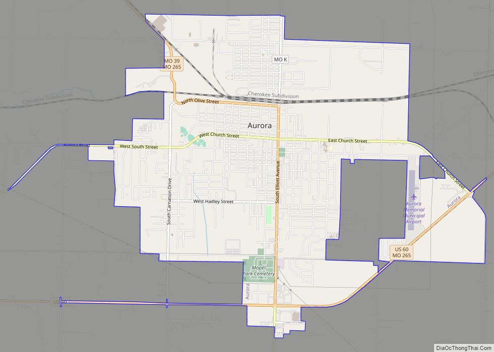
| Largest city: | Monett |
| Total Area: | 613 sq mi (1,590 km²) |
| Land Area: | 612 sq mi (1,590 km²) |
| Total Population: | 38,634 |
| Population Density: | 63/sq mi (24/km²) |
| Time zone: | UTC−6 (Central) |
| Summer Time Zone (DST): | UTC−5 (CDT) |
| Website: | www.lawrencecountymo.org |
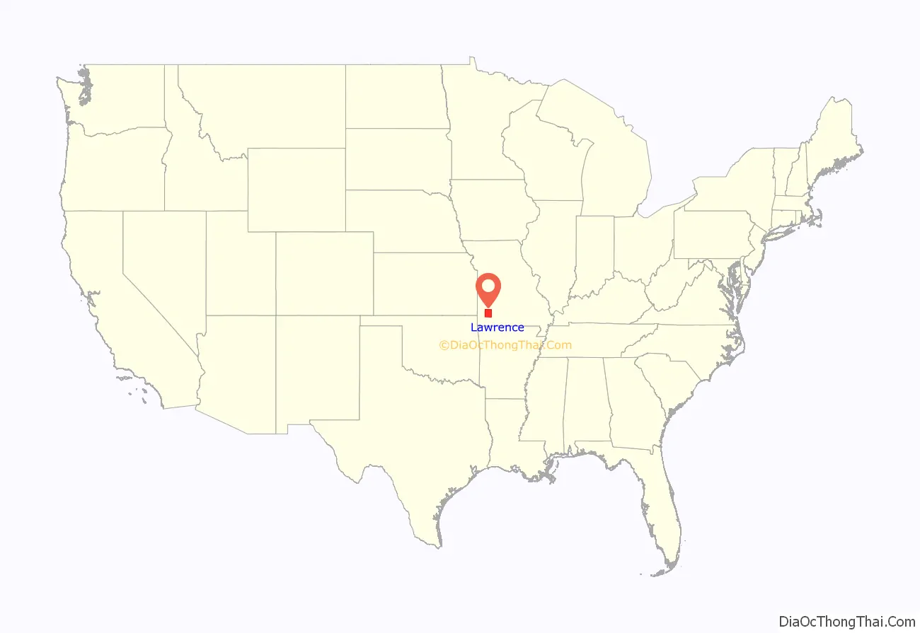
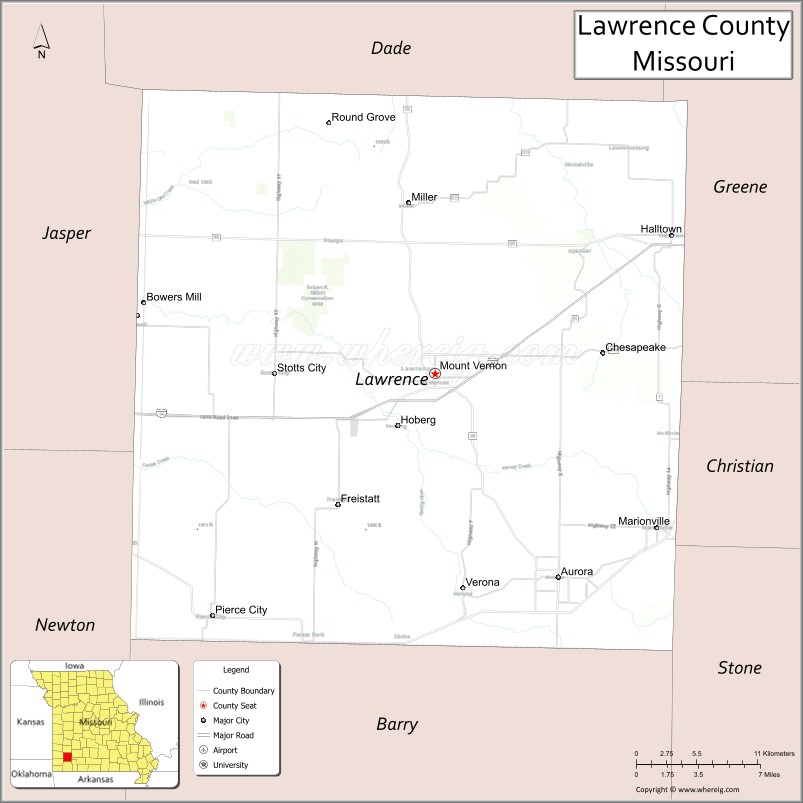
Lawrence County location map. Where is Lawrence County?
History
Following the Reconstruction era, southwestern Missouri became increasingly hostile to African Americans, and whites attacked blacks in Lawrence and other counties, seeking to expel them from the region. An African-American man was lynched in Verona, Missouri on January 26, 1894; his name was not recorded. On August 19, 1901, three men were lynched by a white mob in the county seat, Pierce City, in Lawrence County. The mob also burned down some black homes, and drove roughly 30 families, a total of 300 African Americans, out of the city altogether. Whites took over their properties and the African Americans were never compensated for losses.
As a result of such incidents, many African Americans left Southwest Missouri in the early 20th century. The extrajudicial murders were part of a pattern of discrimination, repeated violence and intimidation of African Americans in southwest Missouri from 1894 to 1909. Whites in Greene conducted a mass lynching of three African-Americans in 1906 in the courthouse square.
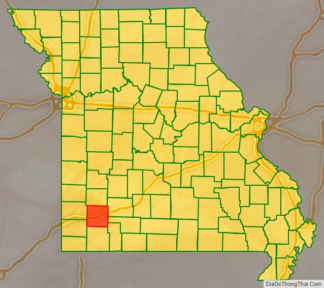
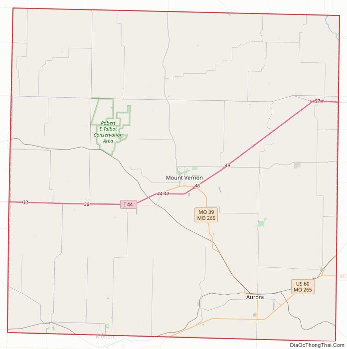
Lawrence County Road Map
Geography
According to the U.S. Census Bureau, the county has a total area of 613 square miles (1,590 km), of which 612 square miles (1,590 km) is land and 1.6 square miles (4.1 km) (0.3%) is water.
Adjacent counties
- Dade County (north)
- Greene County (northeast)
- Christian County (southeast)
- Stone County (southeast)
- Barry County (south)
- Newton County (southwest)
- Jasper County (west)
Major highways
- Interstate 44
- U.S. Route 66 (1926–1985)
- Route 39
- Route 96
- Route 97
- Route 266
National protected area
- Ozark Cavefish National Wildlife Refuge
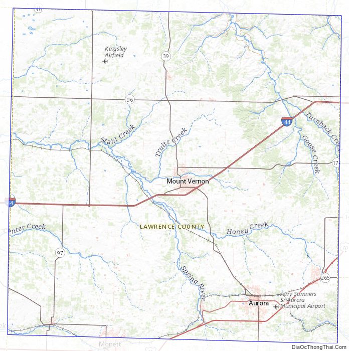
Lawrence County Topographic Map
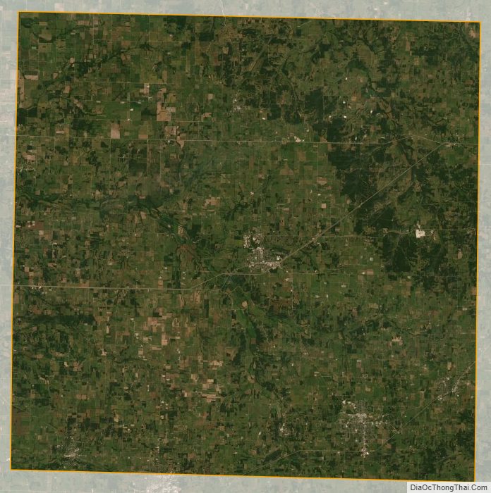
Lawrence County Satellite Map
Lawrence County Outline Map