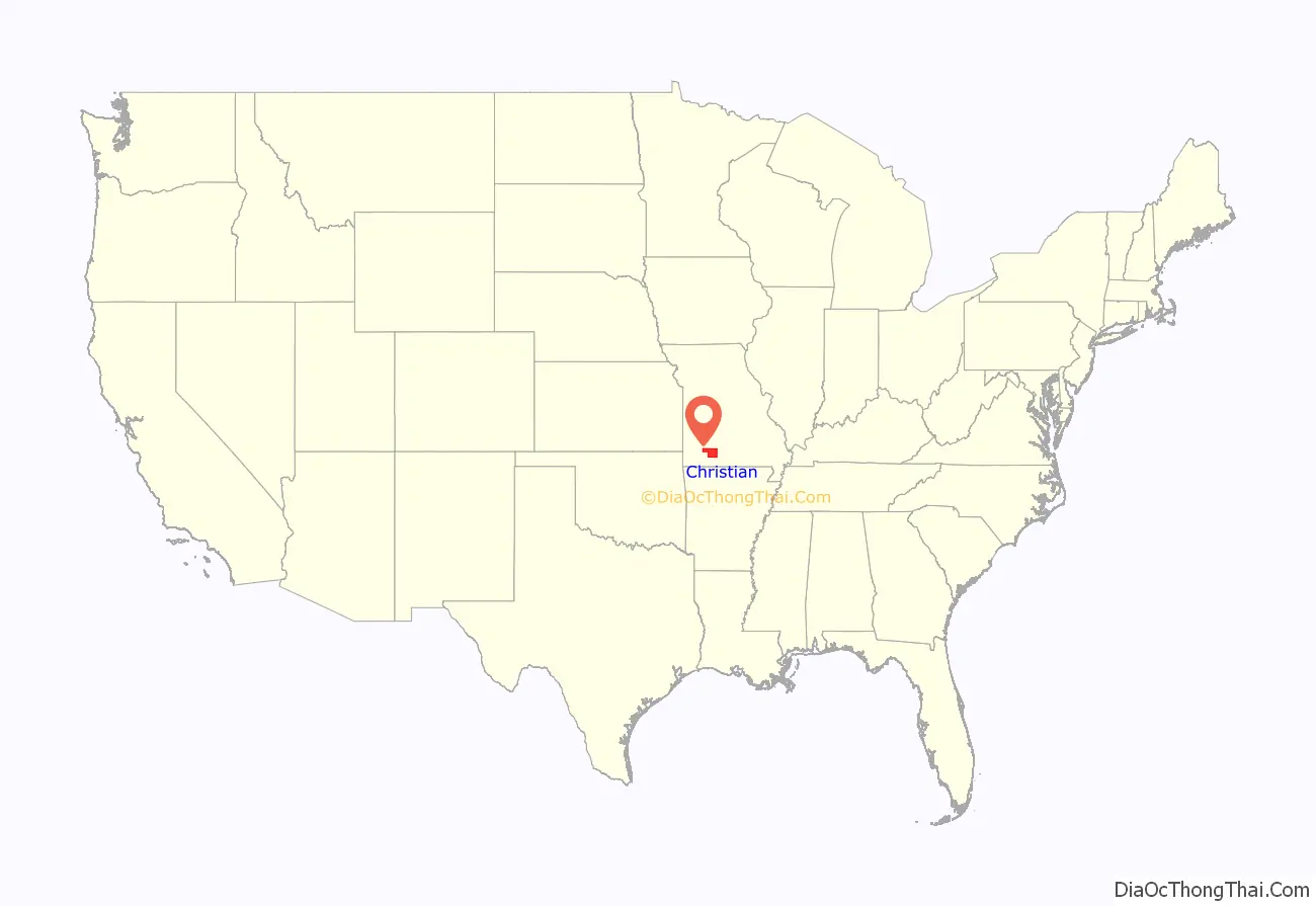
Christian County is located in the southwestern part of the U.S. state of Missouri. As of the 2020 census, its population was 88,842. Its county seat is Ozark. The county was organized in 1859 and is named after William Christian, a Kentucky soldier of the American Revolutionary War.
Christian County is part of the Springfield, MO Metropolitan Statistical Area. Between 2000 and 2010, it was the fastest-growing county in the state and one of the fastest growing ones in the nation as the county became more suburban due to the booming growth in Springfield.
| Name: | Christian County |
|---|---|
| FIPS code: | 29-043 |
| State: | Missouri |
| Founded: | March 8, 1859 |
| Named for: | William Christian |
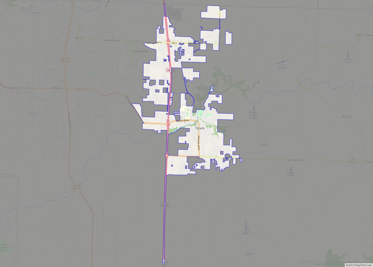
| Seat: | Ozark |
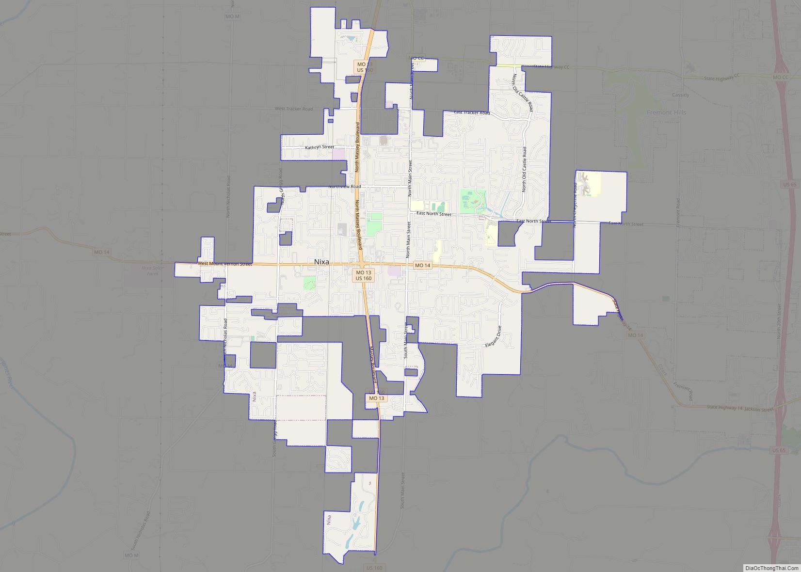
| Largest city: | Nixa |
| Total Area: | 564 sq mi (1,460 km²) |
| Land Area: | 563 sq mi (1,460 km²) |
| Total Population: | 88,842 |
| Population Density: | 160/sq mi (61/km²) |
| Time zone: | UTC−6 (Central) |
| Summer Time Zone (DST): | UTC−5 (CDT) |
| Website: | christiancountymo.gov |
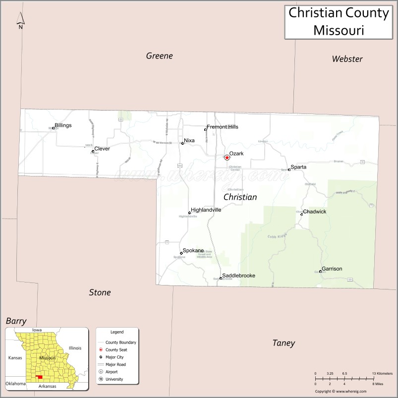
Christian County location map. Where is Christian County?
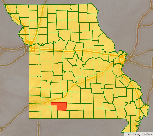
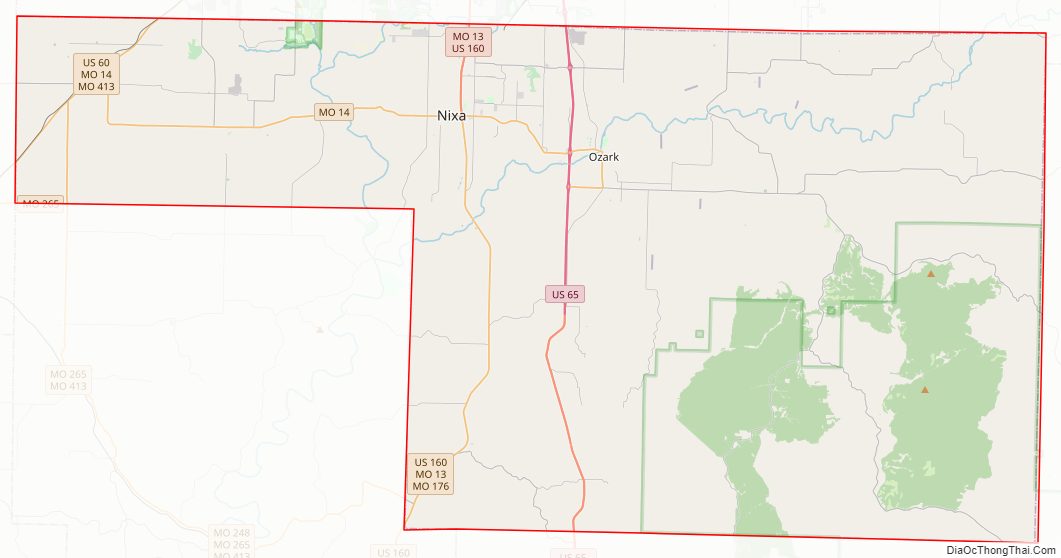
Christian County Road Map
Geography
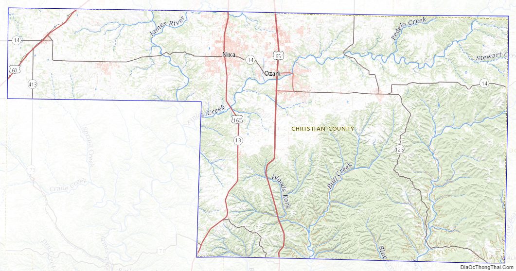
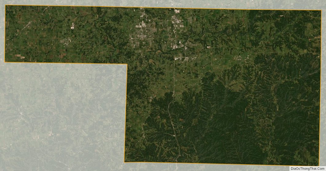
According to the U.S. Census Bureau, the county has a total area of 564 square miles (1,460 km), of which 563 square miles (1,460 km) is land and 1.2 square miles (3.1 km) (0.2%) is water. The county is drained by James River and branches of the White River. The surface is undulating or hilly.
Adjacent counties
- Greene County (north)
- Webster County (northeast)
- Douglas County (east)
- Taney County (south)
- Stone County (southwest)
- Lawrence County (west)
Major highways
- U.S. Route 60
- U.S. Route 65
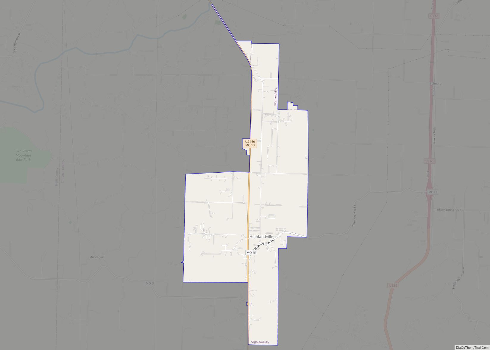
- U.S. Route 160
- Route 13
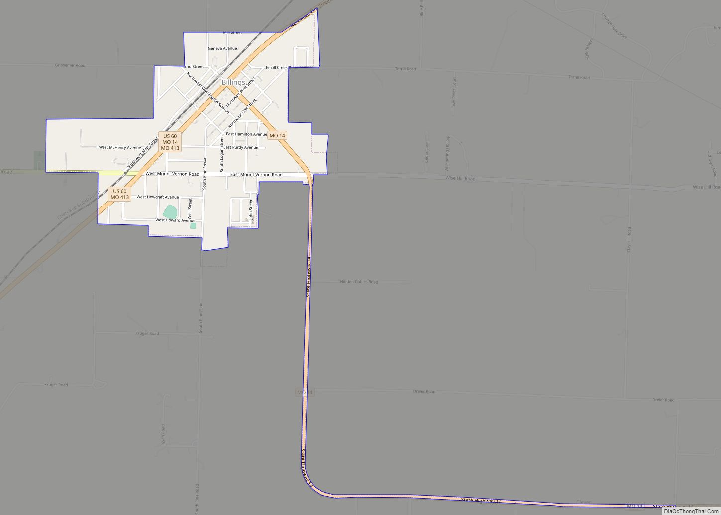
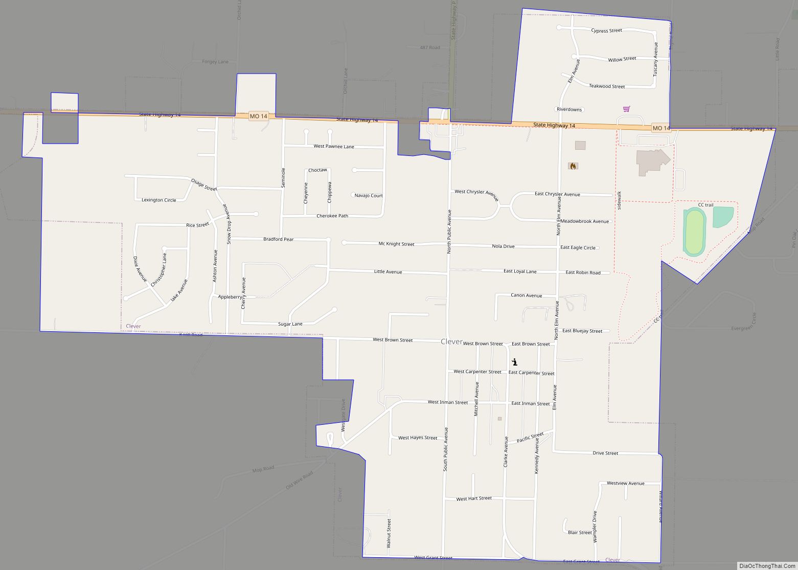
- Route 14
- Route 125
National protected area
- Mark Twain National Forest (part)
Christian County Topographic Map
Christian County Satellite Map
Christian County Outline Map