Greene County is a county in Virginia in the eastern United States. As of the 2020 census, the population was 20,552. Its county seat is Stanardsville.
Greene County is part of the Charlottesville, VA Metropolitan Statistical Area.
In recent years, Greene County has grown as a tourism destination for metropolitan areas to escape to the Shenandoah National Park and Virginia’s scenic foothills. www.exploregreene.com
| Name: | Greene County |
|---|---|
| FIPS code: | 51-079 |
| State: | Virginia |
| Founded: | 1838 |
| Named for: | Nathanael Greene |
| Seat: | Stanardsville |
| Total Area: | 157 sq mi (410 km²) |
| Land Area: | 156 sq mi (400 km²) |
| Total Population: | 20,552 |
| Population Density: | 130/sq mi (51/km²) |
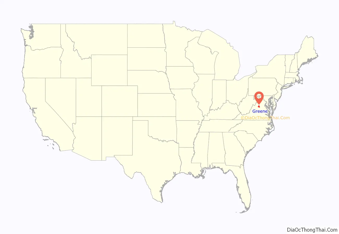
Greene County location map. Where is Greene County?
History
Greene County was established in 1838 from Orange County. The county is named for American Revolutionary War hero Nathanael Greene, who was a general in the Continental Army.
A major incident occurred on October 24, 1979, when a natural gas main ruptured, causing an explosion. The resulting fire destroyed the bell tower of the county courthouse and county office building. However, quick action by the firemen on the scene saved the county records which were secured in the vault.
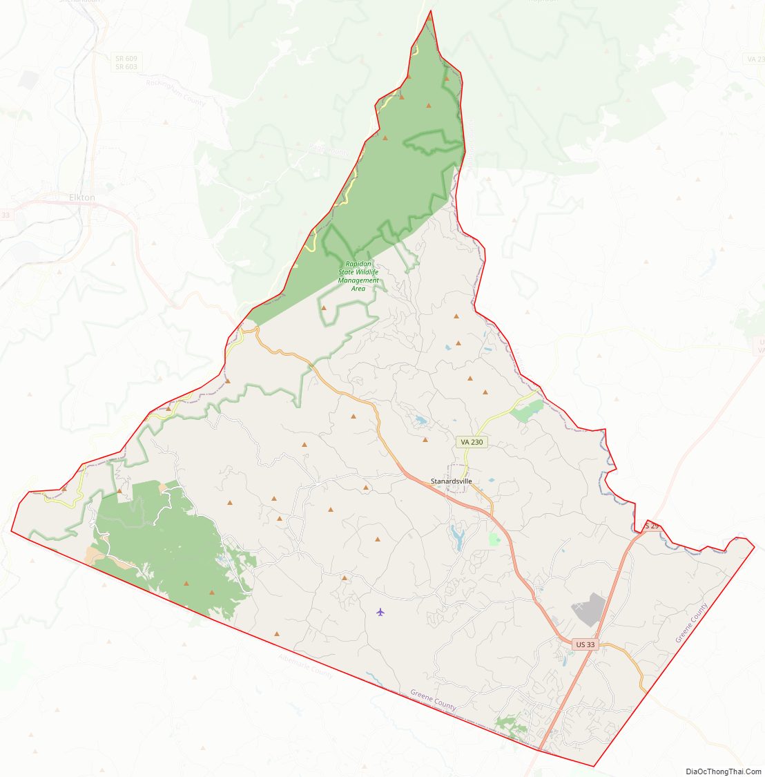
Greene County Road Map
Geography
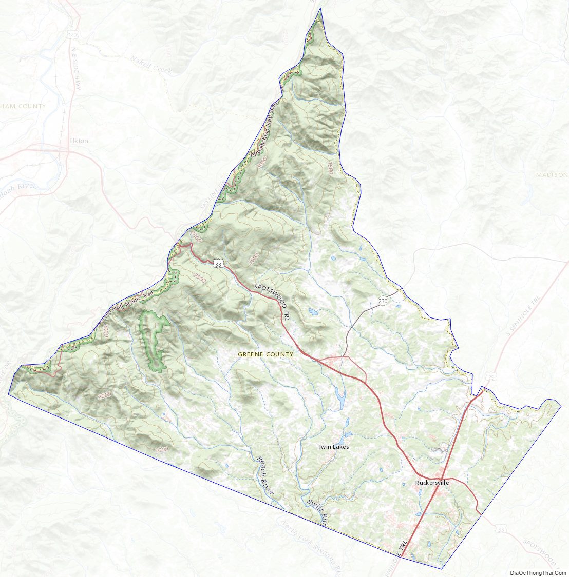
According to the U.S. Census Bureau, the county has a total area of 156.8 square miles (406.1 km), of which 156.1 square miles (404.3 km) is land and 0.7 square miles (1.8 km) (0.4%) is water. It is the second-smallest county in Virginia by total area.
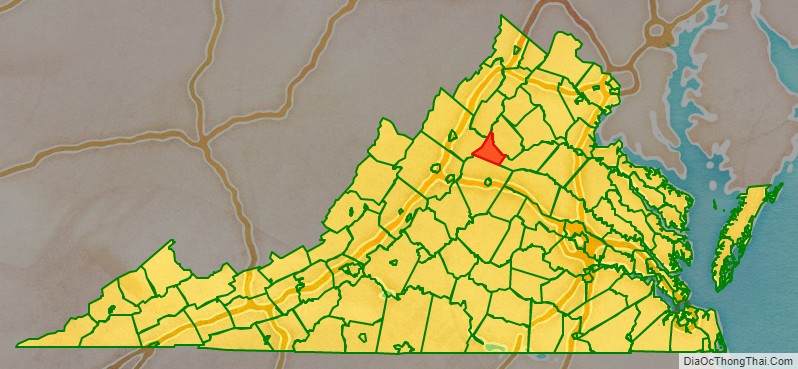
Adjacent counties
- Rockingham County, Virginia – west
- Page County, Virginia – northwest
- Madison County, Virginia – northeast
- Orange County, Virginia – southeast
- Albemarle County, Virginia – south
National protected areas
- Shenandoah National Park (part)
Major highways
- US 29
- US 33
- SR 230
Greene County Topographic Map
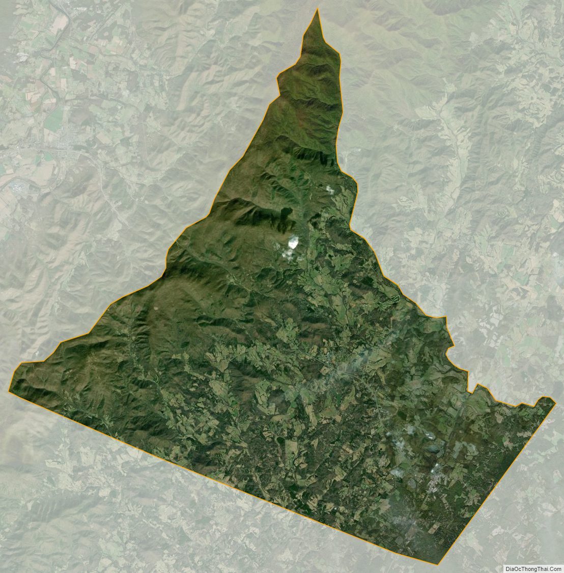
Greene County Satellite Map
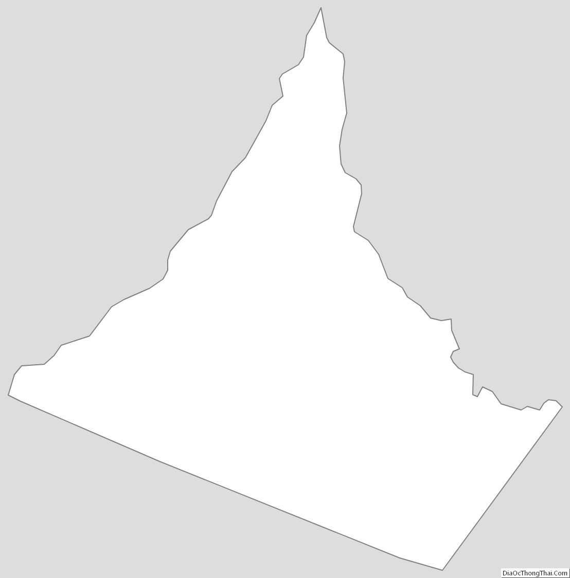
Greene County Outline Map