Orange County is a county located in the Central Piedmont region of the Commonwealth of Virginia. At the 2020 census, the population was 36,254. Its county seat is Orange. Orange County includes Montpelier, the 2,700-acre (1,100 ha) estate of James Madison, the 4th President of the United States and often known as the “Father of the Constitution”. The county will celebrate its 290th anniversary in 2024.
| Name: | Orange County |
|---|---|
| FIPS code: | 51-137 |
| State: | Virginia |
| Founded: | 1734 |
| Named for: | William III of England |
| Seat: | Orange |
| Largest town: | Orange |
| Total Area: | 343 sq mi (890 km²) |
| Land Area: | 341 sq mi (880 km²) |
| Total Population: | 36,254 |
| Population Density: | 110/sq mi (41/km²) |
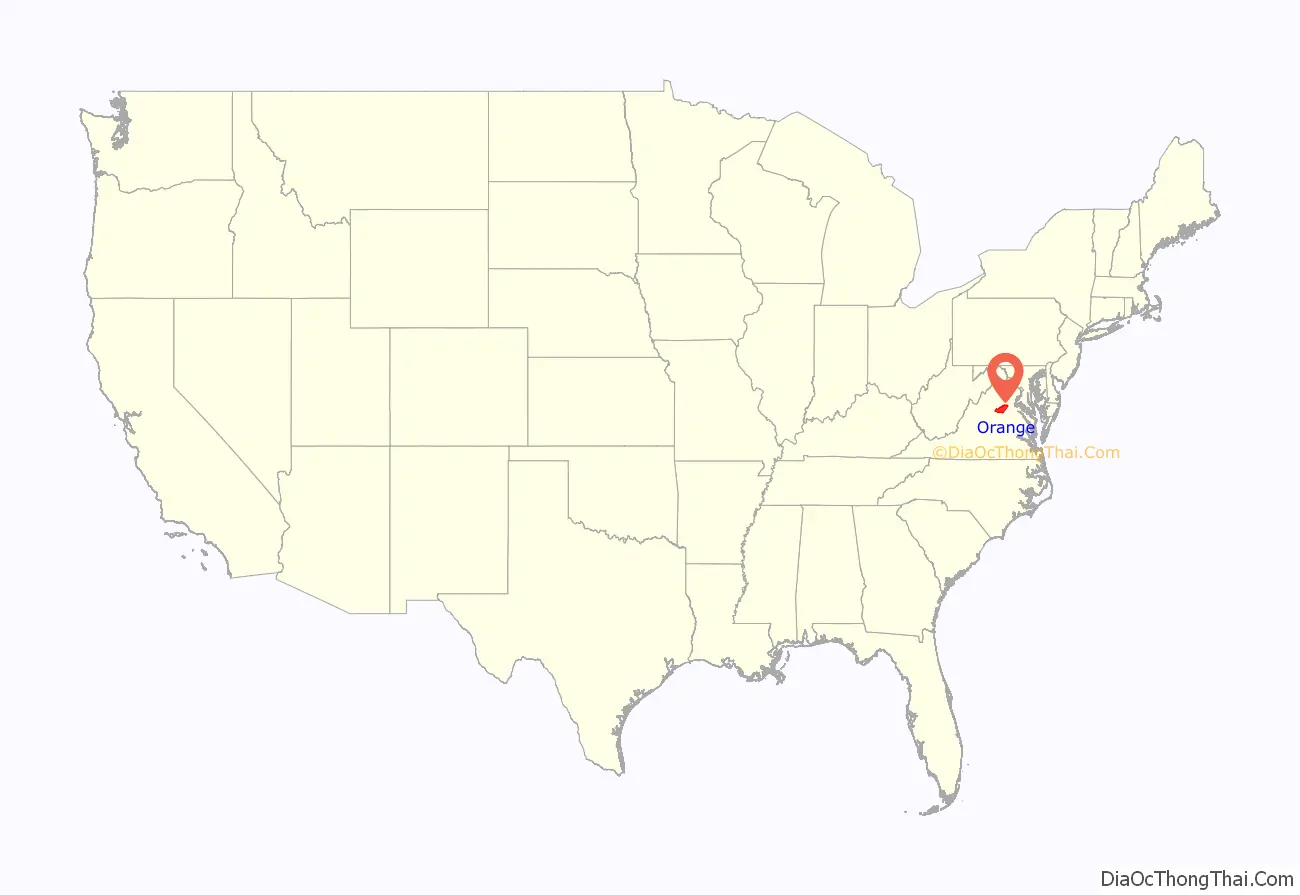
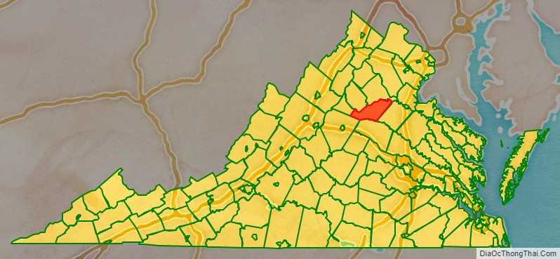
Orange County location map. Where is Orange County?
History
The area was inhabited for thousands of years by various cultures of indigenous peoples. At the time of European encounter, the Ontponea, a sub-group of the Siouan-speaking Manahoac tribe, lived in this Piedmont area.
The first European settlement in what was to become Orange County was Germanna, formed when Governor Alexander Spotswood settled 12 immigrant families from Westphalia, Germany, there in 1714; a total of 42 people. Orange County, as a legal entity, was created in August 1734 when the Virginia House of Burgesses adopted An Act for Dividing Spotsylvania County. Unlike other counties whose boundaries had ended at the Blue Ridge Mountains, Orange was bounded on the west “by the utmost limits of Virginia” which, at that time, stretched to the Mississippi River and the Great Lakes. The colony of Virginia claimed the land, but very little of it had yet been occupied by any English. For this reason, some contend that Orange County was at one time the largest county that ever existed. This situation lasted only four years; in 1738 most of the western tract was split off into Augusta County. The expansiveness of the county boundaries was to encourage settlement further westward as well as to contend against the French claim to the Ohio Valley region.
No battles of the American Revolution were fought in Orange County. However, two companies of 50 men each were recruited from Orange County to the Culpeper Minutemen. One was led by Col. Lawrence Taliaferro. In December 1775, this company fought in the Battle of Great Bridge Orange County’s Committee of Safety was also active in providing money, salt, horses, guns, beef, and other supplies to Continental forces.
Orange County prospered with the development of several railroad routes through Orange and Gordonsville in the 1840s and 1850s. They succeeded the plank road between Fredericksburg and Orange, which connected with two important roads: the Richmond Road between the state capital and the Shenandoah Valley (which passed through Louisa) and a stagecoach route to Charlottesville and points south. The Orange and Alexandria Railroad and Virginia Central Railroad helped foster a diversified agricultural economy in Orange County, bringing produce and timber to markets in Richmond, Washington D.C., and Norfolk as well as more industrial products. The final adjustment of the county’s boundaries occurred in 1838 when Greene County was created from the western portion of Orange. The Town of Orange was legally established in 1834 (officially becoming a town in 1872) and had already served as the county seat for nearly a century; Gordonsville officially achieved town status in 1870.
During the Civil War, the towns of Orange and Gordonsville continued as important railroad hubs and hospital centers for the Confederacy. Confederate military companies recruited from the county included three companies of the 13th Virginia Infantry, the Gordonsville Grays, two artillery companies, one cavalry company (the Orange Rangers), and many soldiers in the 7th Virginia Infantry, Wise Artillery and 6th Virginia Cavalry. General Robert E. Lee often rode through the county and wintered the Army of Northern Virginia in Orange County during 1863–64, the Rapidan River becoming a defensive line. Cavalry raids against the railroad supply lines occurred, including several at Rapidan on the border with Culpeper County. Troops often crossed the Rapidan River at Germanna Ford near Locust Grove. After Fredericksburg fell to Union forces, Mosby’s Rangers were formed and conducted some operations (as well as recovered from wounds) in Orange County; Mosby himself was once captured while waiting for a train in Beaverdam in Hanover County for travel through Orange County. The 1863 Battle of Mine Run and the 1864 Battle of the Wilderness both occurred in eastern Orange County, as Union troops drove toward the Confederacy’s capital. The latter became a significant turning point in the war.
Following Virginia’s readmission to the Union in 1870, the railroads were rebuilt (many being consolidated into the Chesapeake and Ohio Railroad after 1868). The county was also divided into Barbour, Madison, Taylor, and Gordon townships, named after important pre-war citizens. The agricultural economy resumed despite the loss of slave labor (6,111 slaves had lived in the county in 1860, valued at $1.5 million), with more livestock and dairy farming both because such required less physical labor and because the railroads could deliver those agricultural products to larger markets relatively quickly and cheaply. Virginia Governor James L. Kemper (1874-1878) moved from Madison County to near Orange as his term ended. Agriculture and manufacturing continued to expand into the twentieth century, with a peak of 1279 farms and 20 manufacturing companies located within the county as of 1929. A manufacturing survey taken during the Great Depression noted that Orange County’s economy remained relatively healthy due to its accessibility. The county’s population fluctuated following the Civil War up through the 1930s. From that point forward, the population continued to grow steadily, representing an almost 300% increase through the 2010 Census.
In 1991, the Virginia Landmarks Register designated approximately 31,200 acres (126 km) in the county’s western portion as the Madison-Barbour Rural Historic District. The largest such district in the Commonwealth includes James Madison’s Montpelier, James Barbour’s Thomas Jefferson-designed Barboursville mansion (now in ruins), several plantations, portions of the Monticello Viticultural Area, as well as numerous individual sites listed on the National Register. The Gordonsville Historic District was added to the National Register of Historic Places in 1984, the Rapidan Historic District in 1987, and the Orange Commercial Historic District added to the NRHP in 1999.
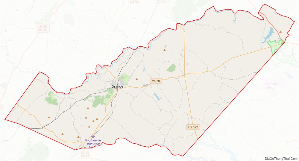
Orange County Road Map
Geography
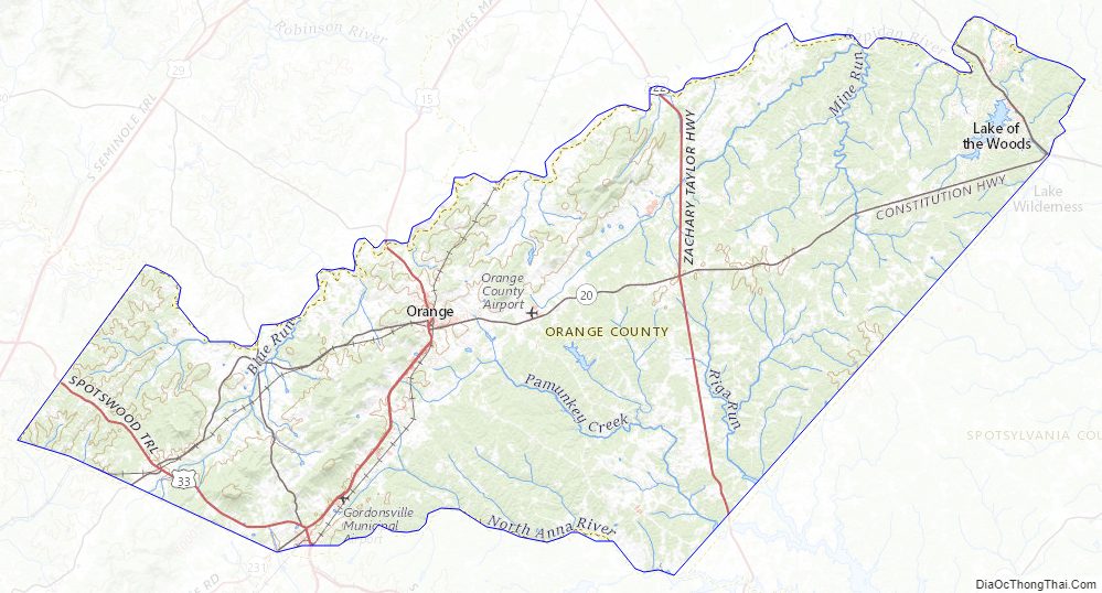
According to the U.S. Census Bureau, the county has a total area of 343 square miles (890 km), of which 341 square miles (880 km) is land and 2.5 square miles (6.5 km) (0.7%) is water. The terrain is characterized by rolling hills, generally increasing in altitude and slope as they continue westward toward the Blue Ridge Mountains. The highest point is Cowherd Mountain at 1,196 ft (345 m), approximately 2.5 miles (4 km) northwest of Gordonsville.
Orange County lies within the watersheds of both the Rappahannock River and the York River, both of which drain into the Chesapeake Bay.
Adjacent counties
- Madison County – northwest
- Culpeper County – north
- Spotsylvania County – east
- Louisa County – south
- Albemarle County – southwest
- Greene County – west
Waterbodies
- The Rapidan River defines the northern boundary of the county
- Lake Orange – a 124-acre public lake southeast of the Town of Orange
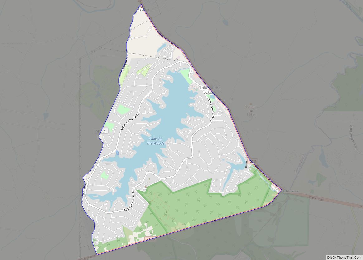
- The 500-acre Main Lake in Lake of the Woods
Nationally protected areas
- The Wilderness Battlefield in the eastern portion of the county lies within the Fredericksburg & Spotsylvania National Military Park
Orange County Topographic Map
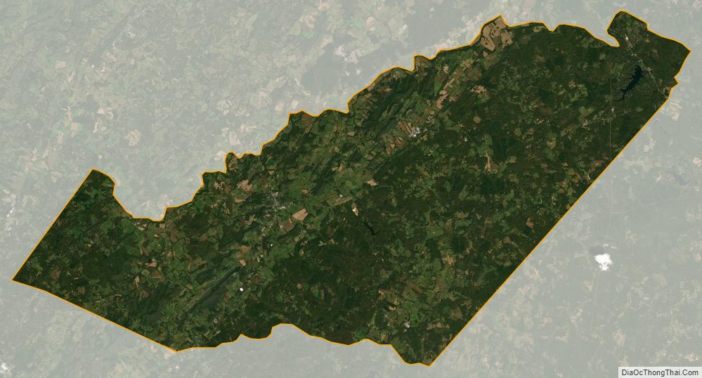
Orange County Satellite Map
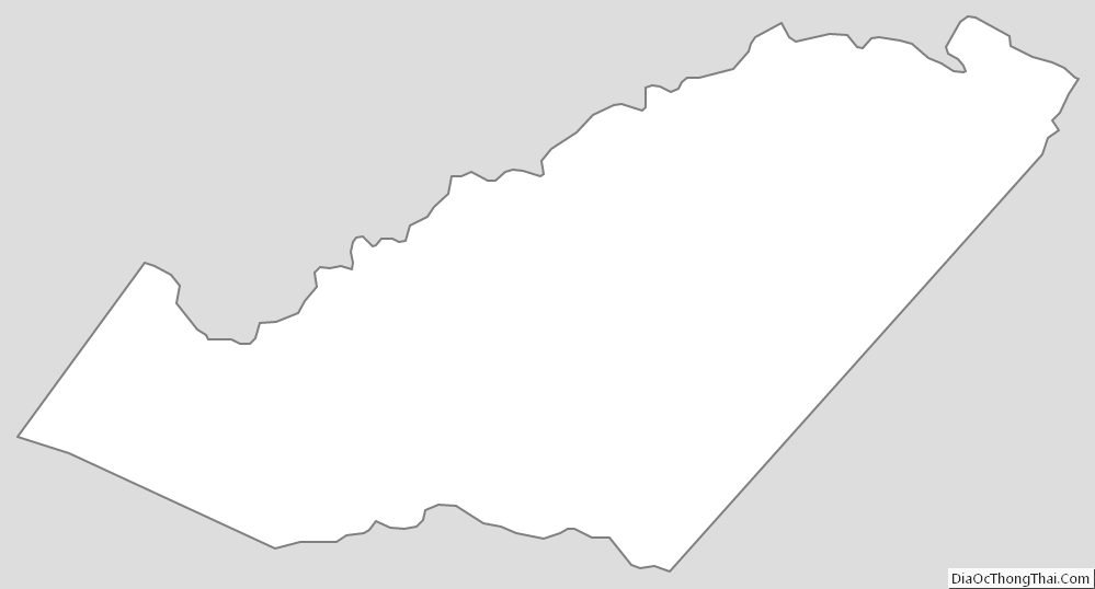
Orange County Outline Map