Hardeman County (/ˈhɑːrdɪmən/ HAR-di-mən) is a county located in the U.S. state of Texas. As of the 2020 census, its population was 3,549. The county seat and largest city is Quanah. The county was created in 1858 and later organized in 1884. It is named for two brothers, Bailey Hardeman and Thomas Jones Hardeman, early Texas politicians and legislators. Hardeman County was one of 46 prohibition or entirely dry counties in the state of Texas until November 2006, when voters approved referendums to permit the legal sale of alcoholic beverages for on- and off-premises consumption.
| Name: | Hardeman County |
|---|---|
| FIPS code: | 48-197 |
| State: | Texas |
| Founded: | 1884 |
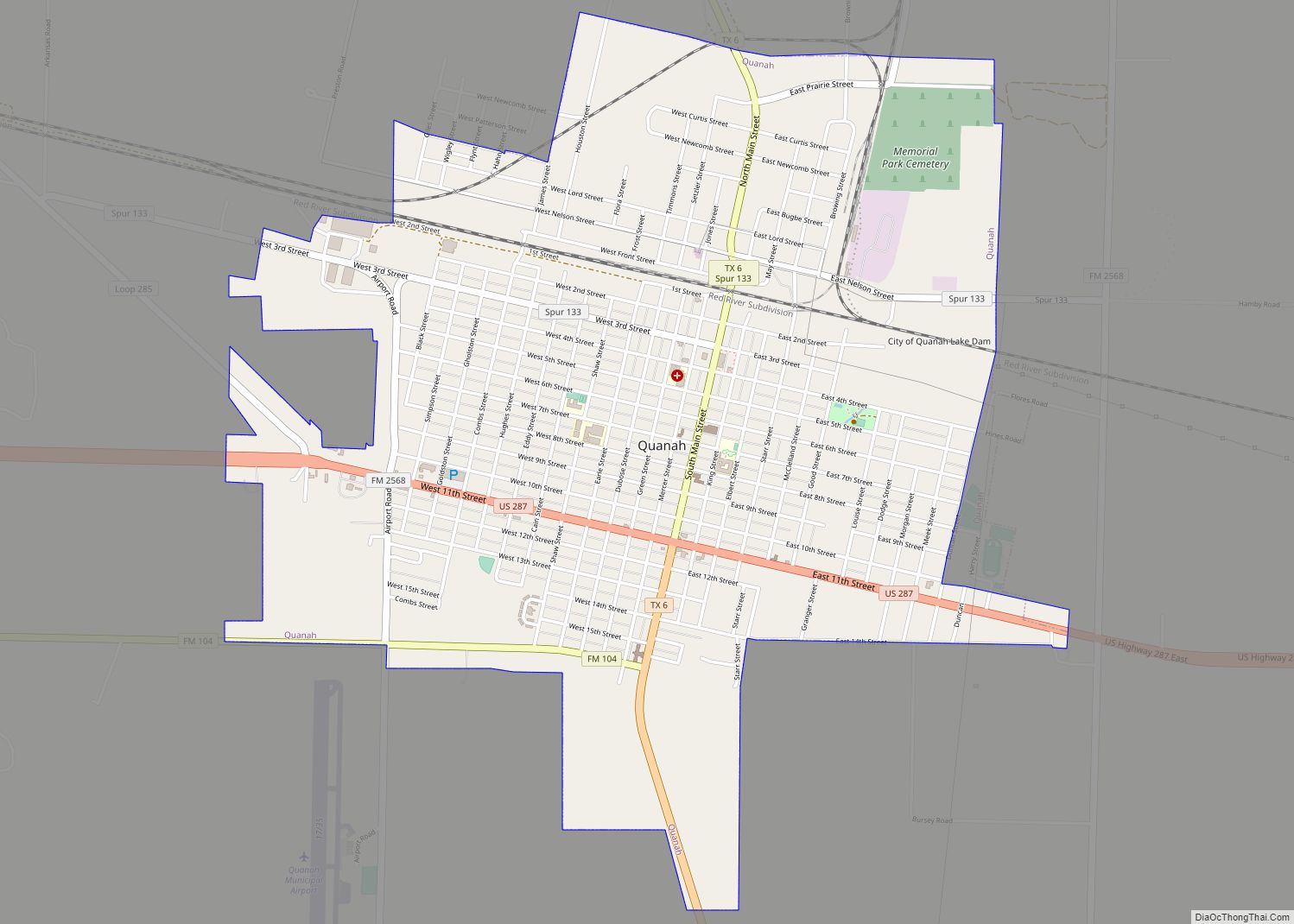
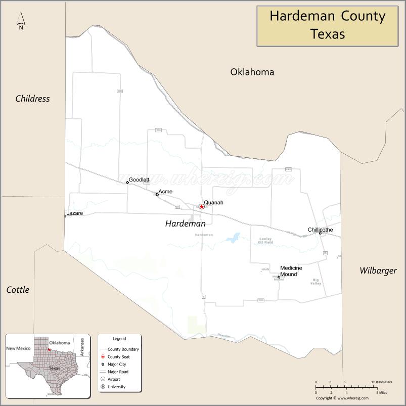
| Seat: | Quanah |
| Largest city: | Quanah |
| Total Area: | 697 sq mi (1,810 km²) |
| Land Area: | 695 sq mi (1,800 km²) |
| Total Population: | 3,549 |
| Population Density: | 5.1/sq mi (2.0/km²) |
| Time zone: | UTC−6 (Central) |
| Summer Time Zone (DST): | UTC−5 (CDT) |
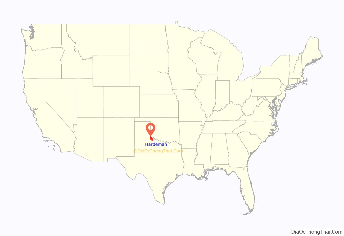
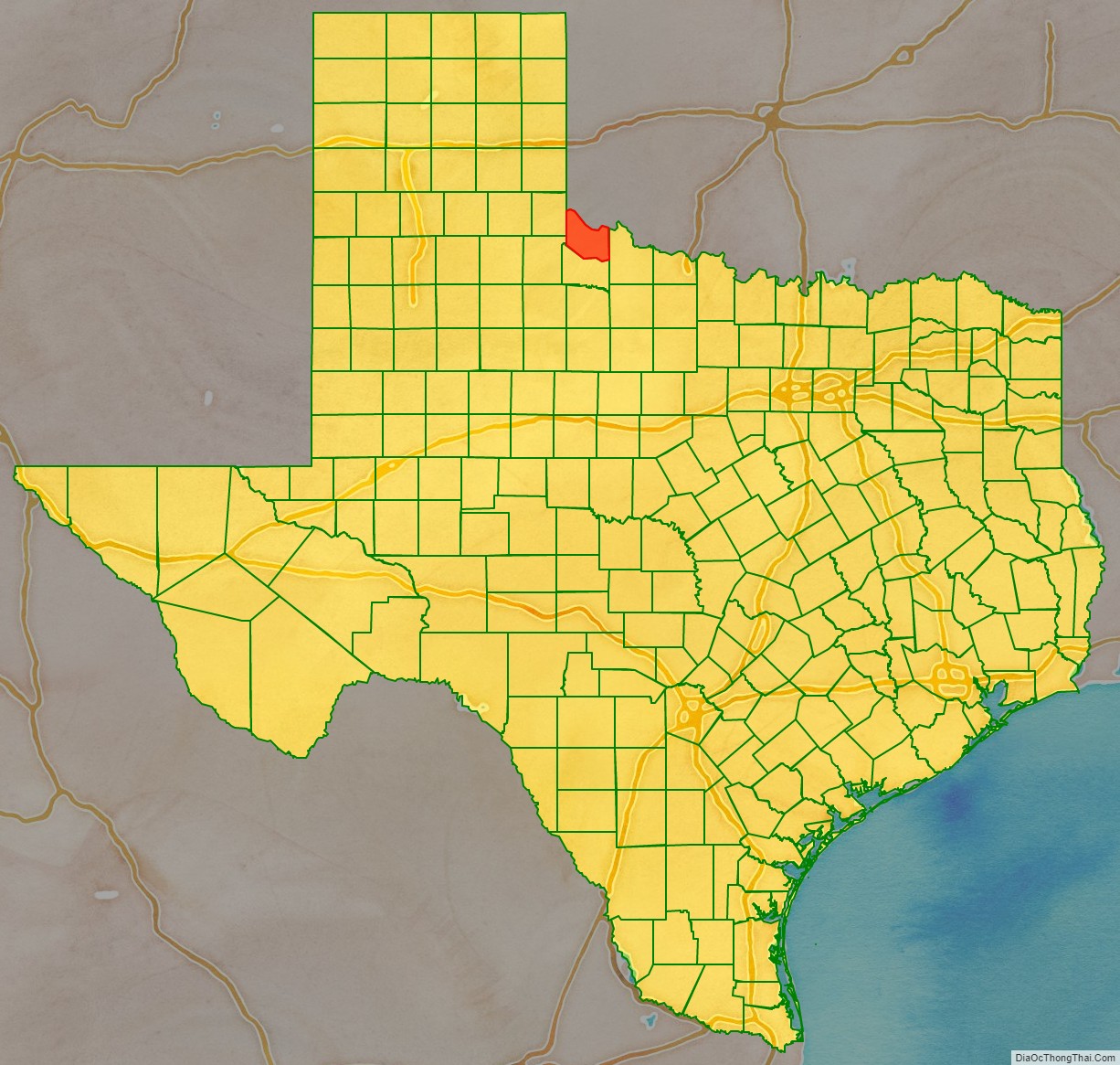
Hardeman County location map. Where is Hardeman County?
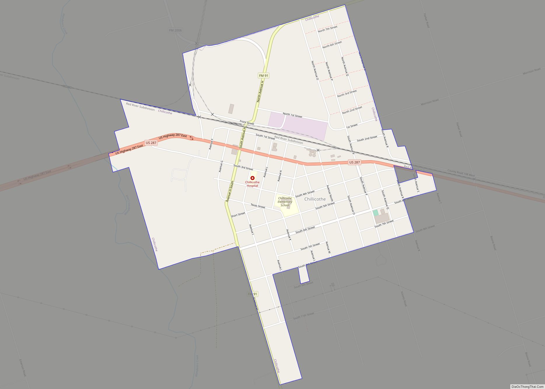
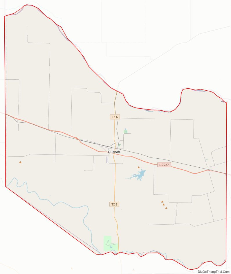
Hardeman County Road Map
Geography
According to the U.S. Census Bureau, the county has a total area of 697 sq mi (1,810 km), of which 695 sq mi (1,800 km) are land and 1.8 sq mi (4.7 km) (0.3%) are covered by water.
The Prairie Dog Town Fork Red River joins with Buck Creek in the northwestern corner of the county to form the Red River, which flows east to form the northern border of the county, separating it from Oklahoma.
Hardeman County is the northernmost county in Texas that is not part of the Texas Panhandle.
Major highways
- U.S. Highway 287
- State Highway 6
Adjacent counties
- Harmon County, Oklahoma (north)
- Jackson County, Oklahoma (northeast)
- Wilbarger County (east)
- Foard County (south)
- Cottle County (southwest)
- Childress County (west)
Hardeman County Topographic Map
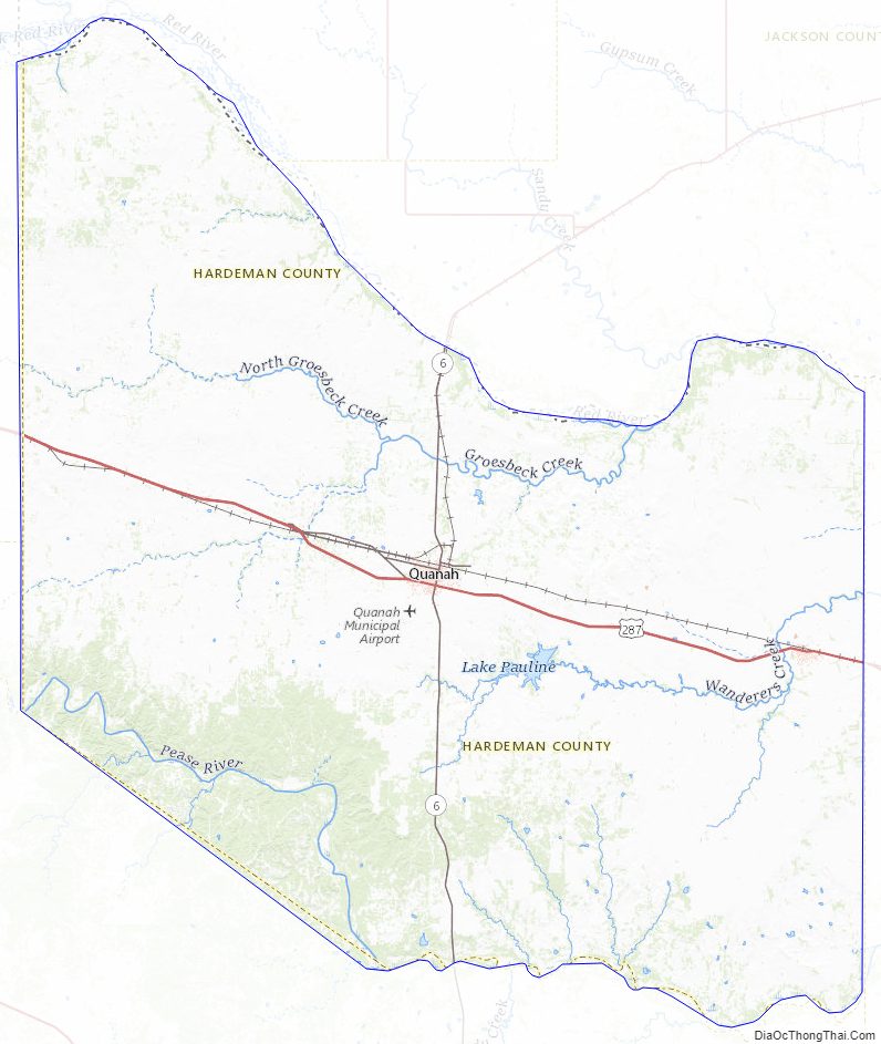
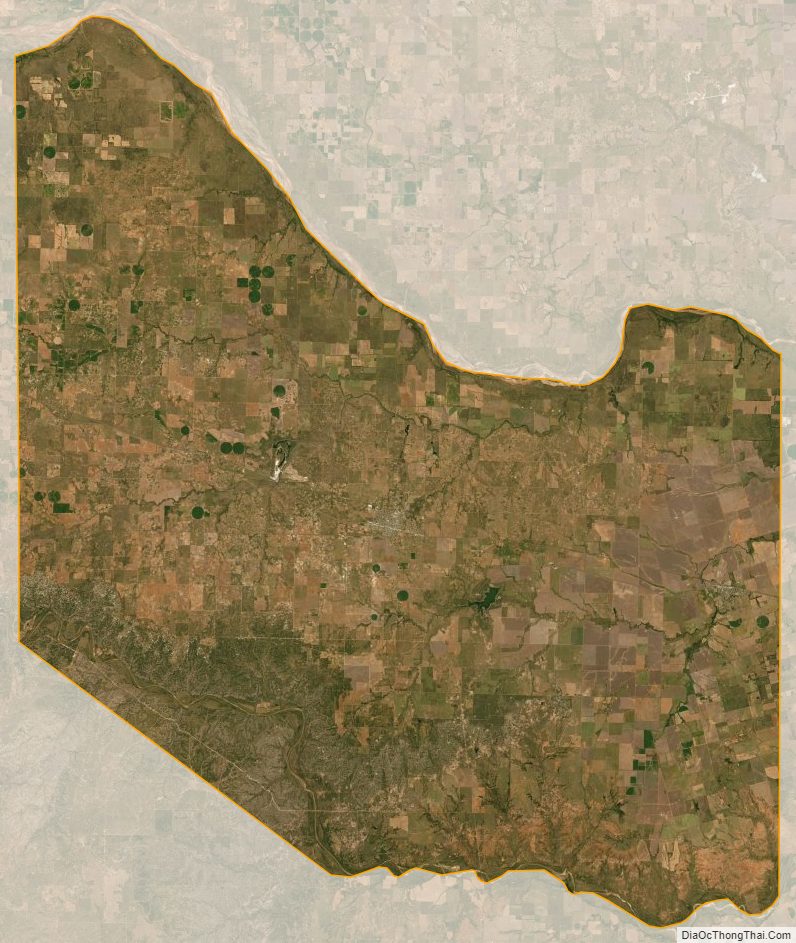
Hardeman County Satellite Map
Hardeman County Outline Map