Foard County is a county located in the U.S. state of Texas. As of the 2020 census, its population was 1,095. Its county seat is Crowell, which is also the county’s only incorporated community. The county is named for Robert Levi Foard, an attorney who served as a major with the Confederate Army, in the American Civil War.
Foard County was one of 46 prohibition, or entirely dry, counties in the state of Texas until voters approved a referendum to permit the legal sale of alcoholic beverages in May 2006.
| Name: | Foard County |
|---|---|
| FIPS code: | 48-155 |
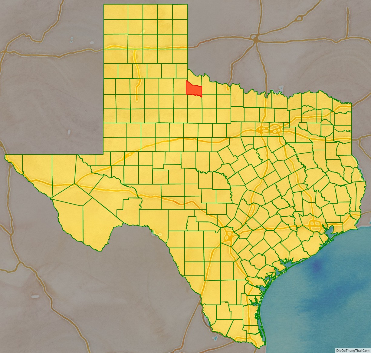
| State: | Texas |
| Founded: | 1891 |
| Named for: | Robert Levi Foard |
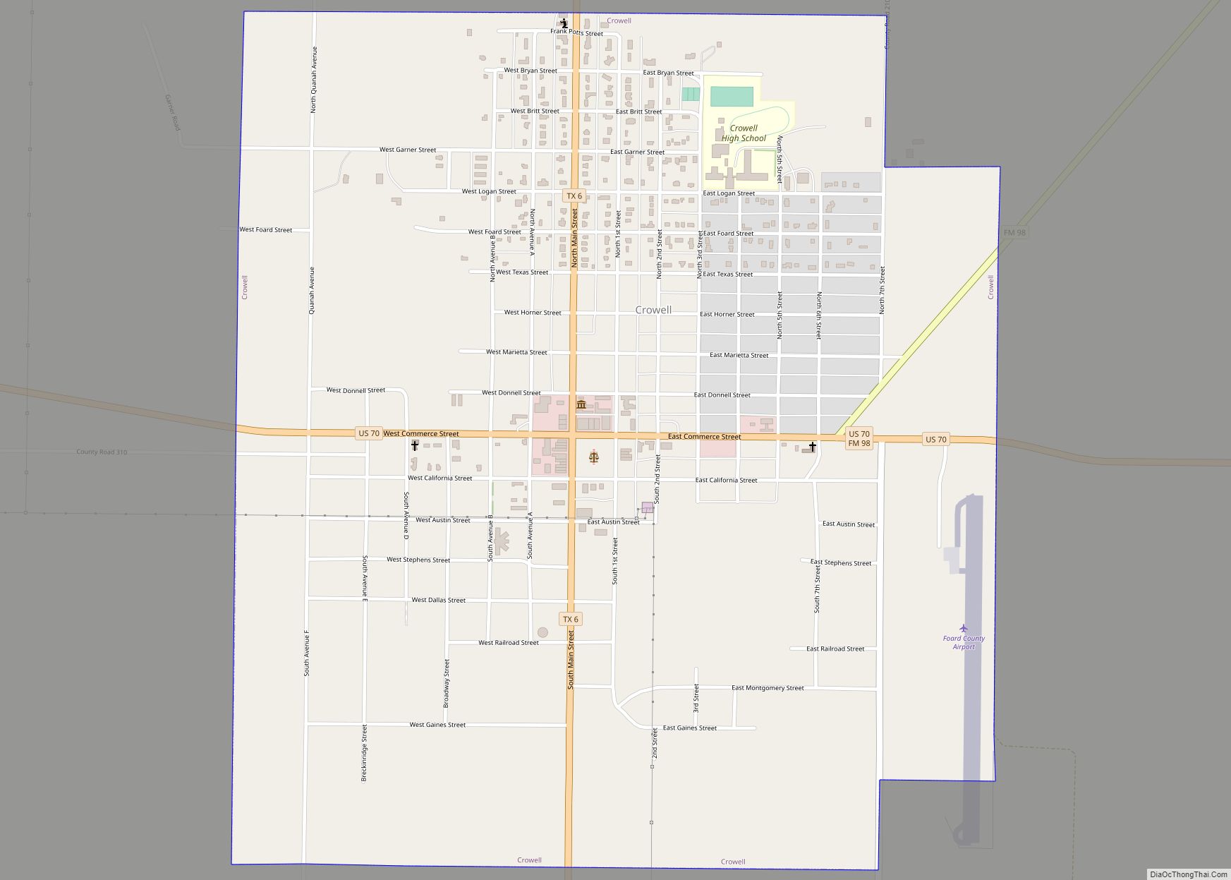
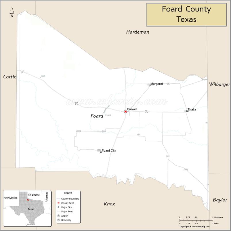
| Seat: | Crowell |
| Largest city: | Crowell |
| Total Area: | 708 sq mi (1,830 km²) |
| Land Area: | 704 sq mi (1,820 km²) |
| Total Population: | 1,095 |
| Population Density: | 1.5/sq mi (0.60/km²) |
| Time zone: | UTC−6 (Central) |
| Summer Time Zone (DST): | UTC−5 (CDT) |
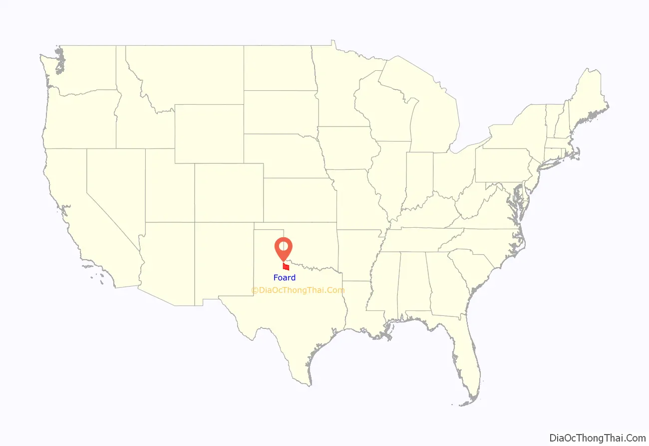
Foard County location map. Where is Foard County?
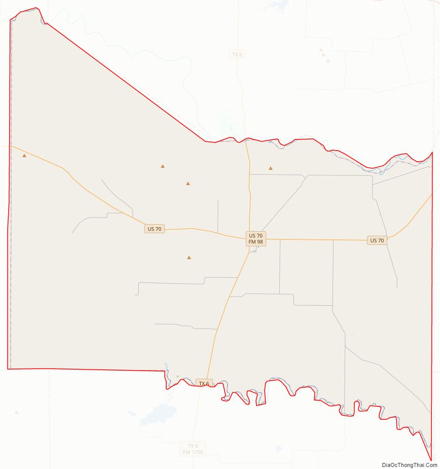
Foard County Road Map
Geography
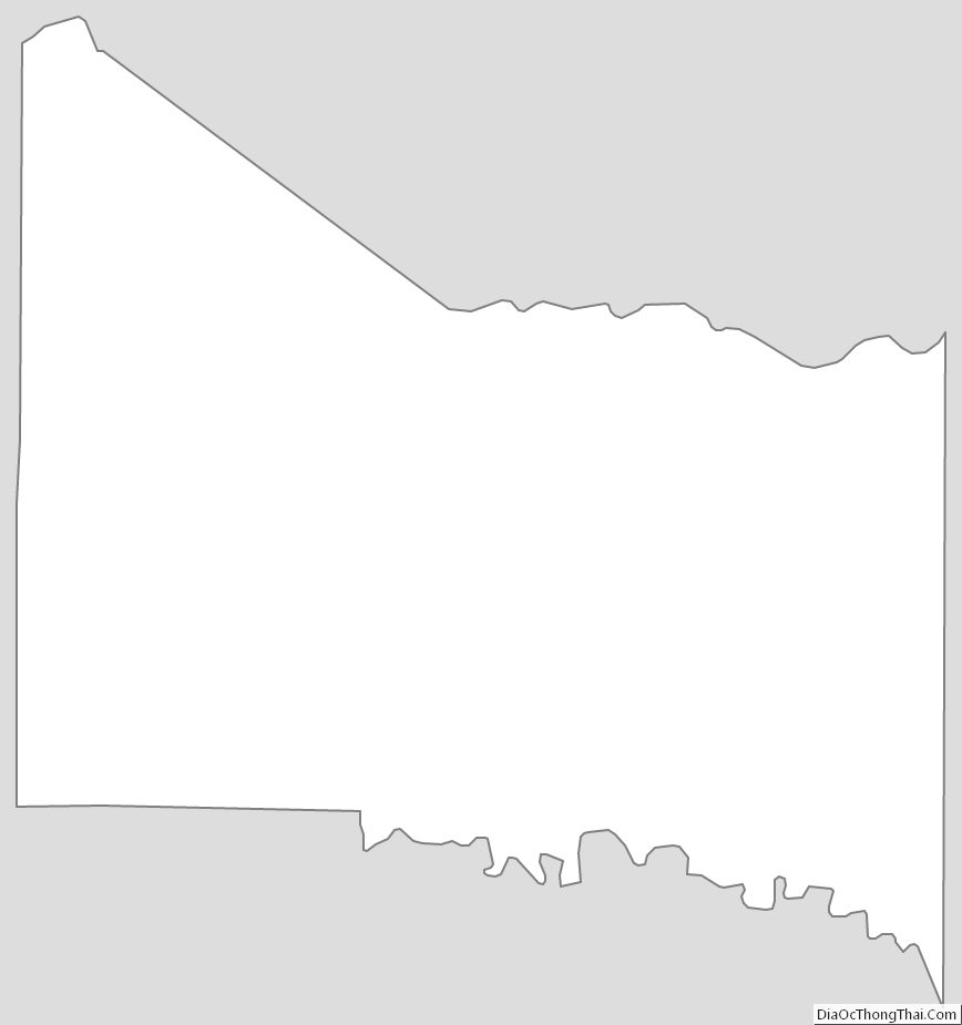
According to the U.S. Census Bureau, the county has a total area of 708 square miles (1,830 km), of which 704 sq mi (1,820 km) are land and 3.3 sq mi (8.5 km) (0.5%) are covered by water.
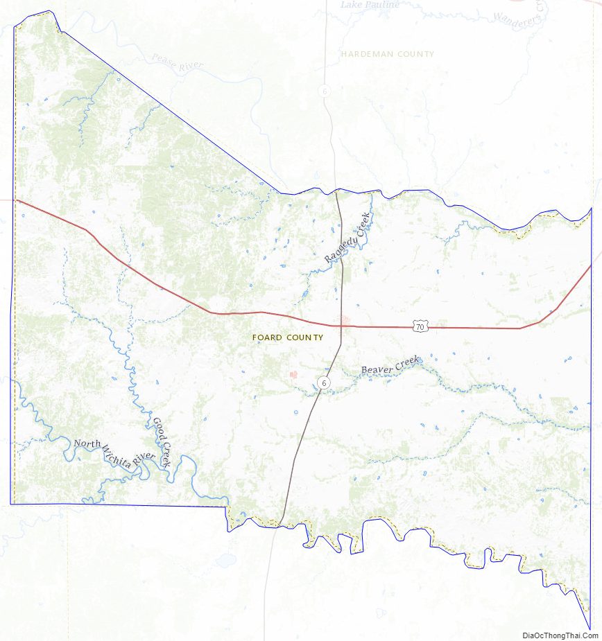
Major highways
- U.S. Highway 70
- State Highway 6
Adjacent counties
- Hardeman County (north)
- Wilbarger County (east)
- Baylor County (southeast)
- Knox County (south)
- King County (southwest)
- Cottle County (west)
Foard County Topographic Map
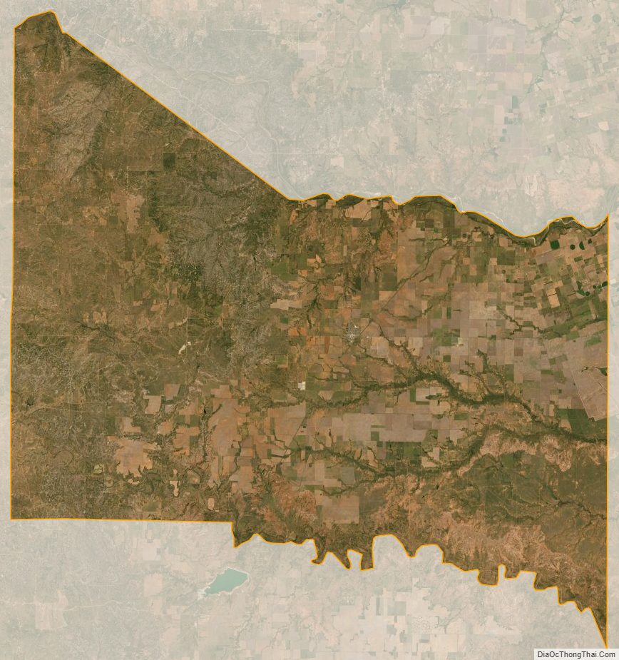
Foard County Satellite Map
Foard County Outline Map