Childress County (/ˈtʃɪldrɪs/ CHIL-driss) is a county located in the U.S. state of Texas. As of the 2020 census, its population was 6,664. The county seat is Childress. The county was created in 1876 and later organized in 1887. It is named for George Campbell Childress, the author of the Texas Declaration of Independence.
County and regional history is preserved in the Childress County Heritage Museum in downtown Childress. The Bradley 3 Ranch, operated by matriarch Minnie Lou Bradley, is entirely in Childress County, but has a Memphis (Hall County) mailing address.
| Name: | Childress County |
|---|---|
| FIPS code: | 48-075 |
| State: | Texas |
| Founded: | 1887 |
| Named for: | George Campbell Childress |
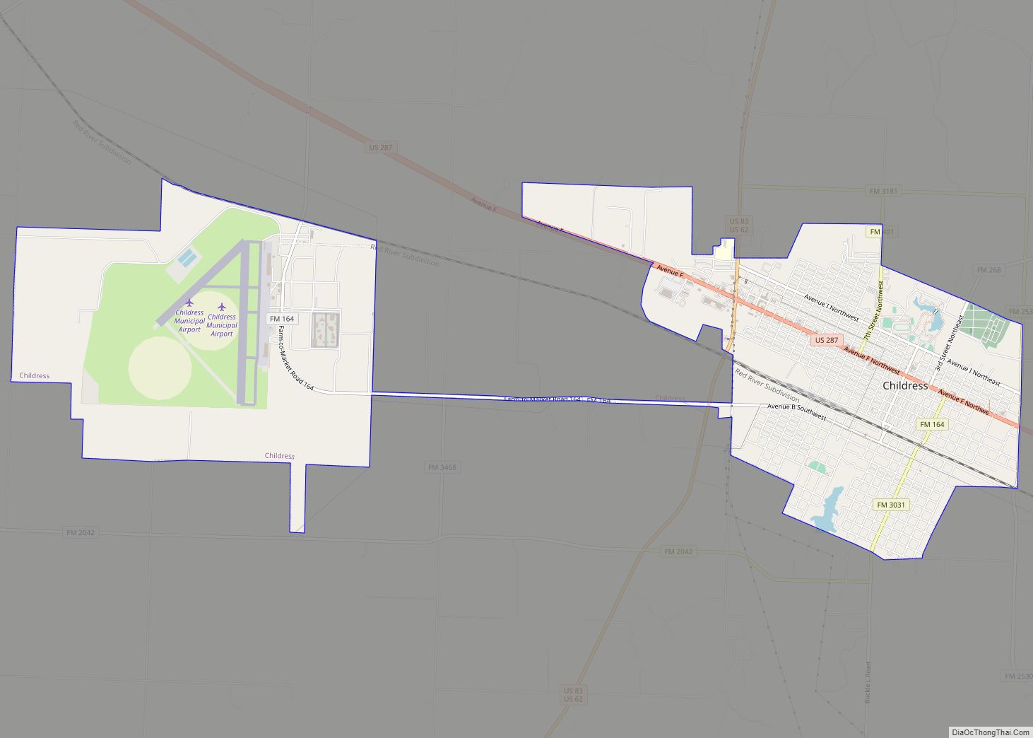
| Seat: | Childress |
| Largest city: | Childress |
| Total Area: | 714 sq mi (1,850 km²) |
| Land Area: | 696 sq mi (1,800 km²) |
| Total Population: | 6,664 |
| Population Density: | 9.3/sq mi (3.6/km²) |
| Time zone: | UTC−6 (Central) |
| Summer Time Zone (DST): | UTC−5 (CDT) |
| Website: | www.childresscountytexas.us |
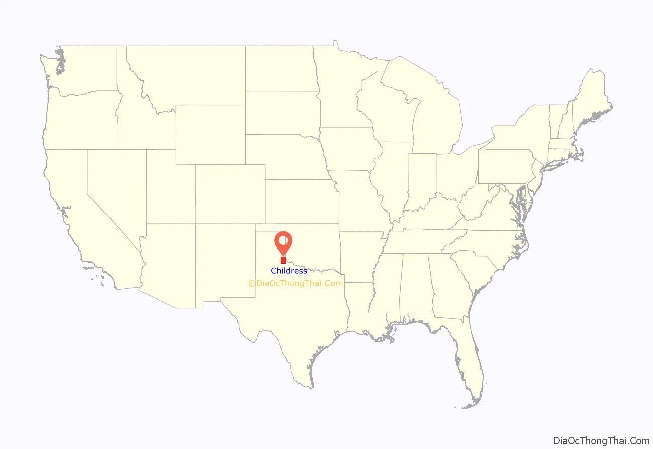
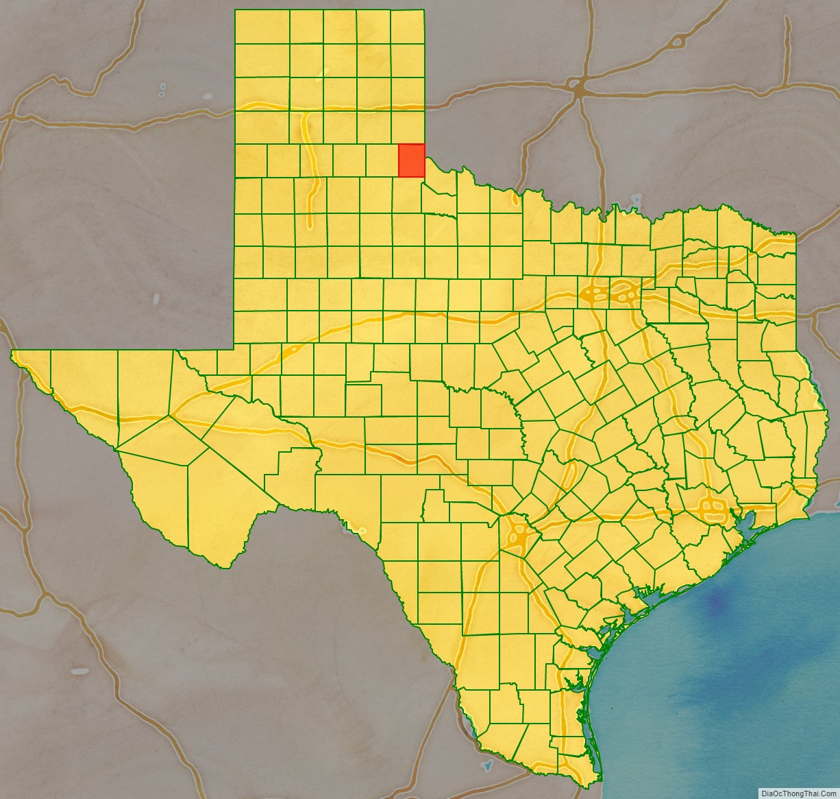
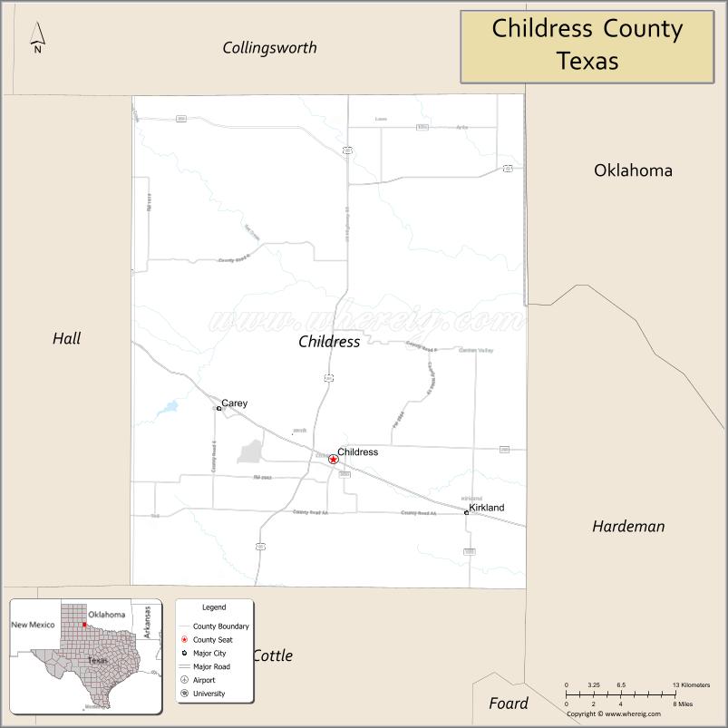
Childress County location map. Where is Childress County?
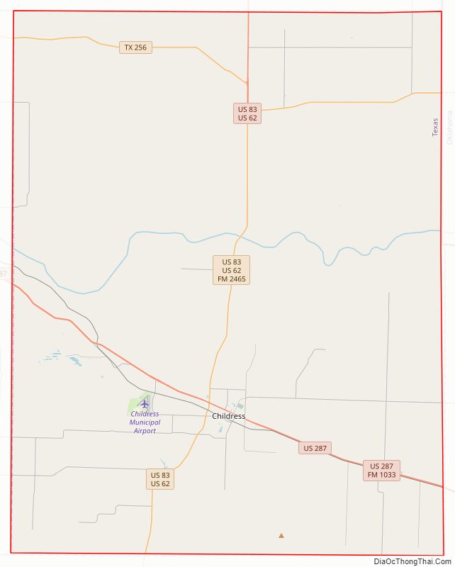
Childress County Road Map
Geography
According to the U.S. Census Bureau, the county has a total area of 714 square miles (1,850 km), of which 696 square miles (1,800 km) are land and 17 square miles (44 km) (2.4%) are covered by water.
Major highways
- U.S. Highway 62
- U.S. Highway 83
- U.S. Highway 287
- State Highway 256
Adjacent counties
- Collingsworth County (north)
- Harmon County, Oklahoma (northeast)
- Hardeman County (east)
- Cottle County (south)
- Hall County (west)
Childress County Topographic Map

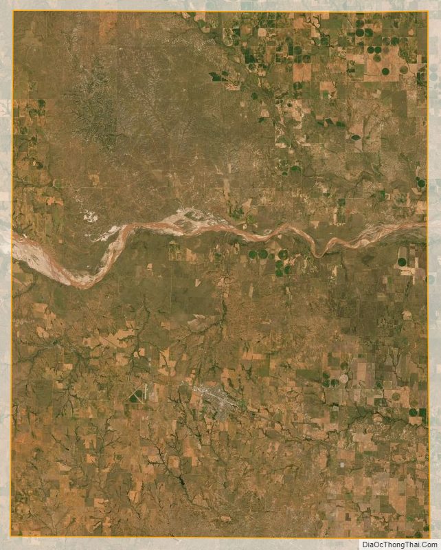
Childress County Satellite Map
Childress County Outline Map