Cottle County is a county in the U.S. state of Texas. As of the 2020 census, its population was 1,380. Its county seat is Paducah. The county was founded in 1876 and later organized in 1892. It is named for George Washington Cottle, who died defending the Alamo. Cottle County was formerly one of 46 prohibition, or entirely dry counties in the state of Texas. It now allows beer and wine sales.
The Matador Ranch, based in neighboring Motley County, once reached into Cottle County.
| Name: | Cottle County |
|---|---|
| FIPS code: | 48-101 |
| State: | Texas |
| Founded: | 1892 |
| Named for: | George Washington Cottle |
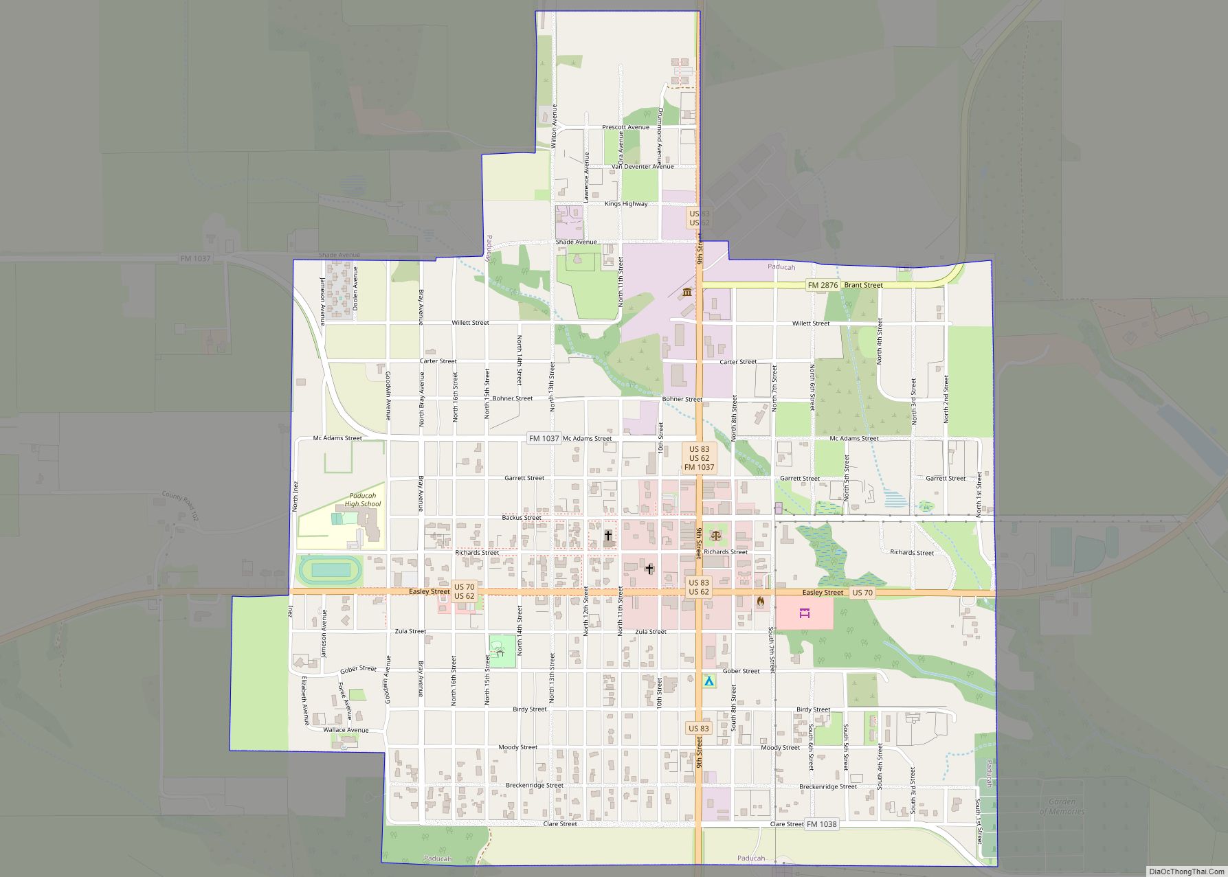
| Seat: | Paducah |
| Largest town: | Paducah |
| Total Area: | 902 sq mi (2,340 km²) |
| Land Area: | 901 sq mi (2,330 km²) |
| Total Population: | 1,380 |
| Population Density: | 1.5/sq mi (0.59/km²) |
| Time zone: | UTC−6 (Central) |
| Summer Time Zone (DST): | UTC−5 (CDT) |
| Website: | www.co.cottle.tx.us |
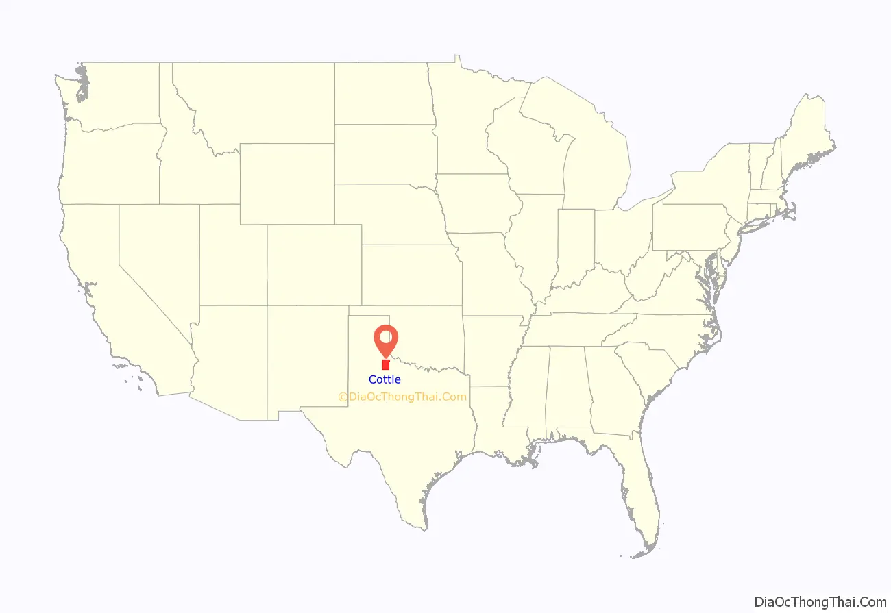
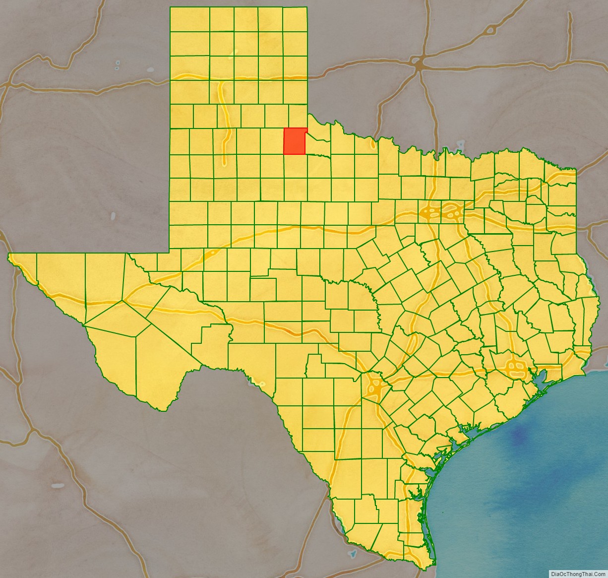
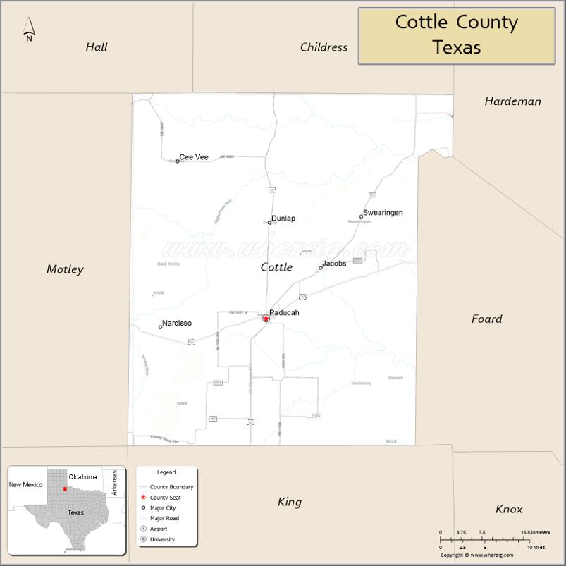
Cottle County location map. Where is Cottle County?
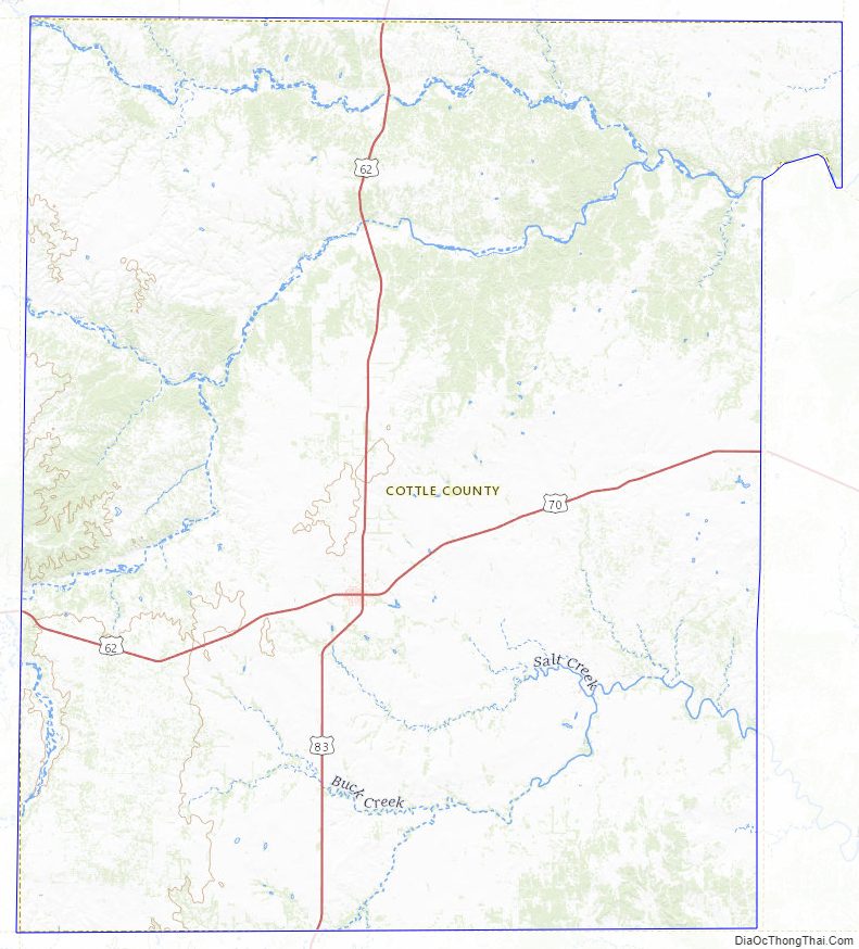
Cottle County Road Map
Geography
According to the U.S. Census Bureau, the county has a total area of 902 sq mi (2,340 km), of which 901 sq mi (2,330 km) are land and 1.1 square miles (2.8 km) (0.1%) is covered by water.
Major highways
- U.S. Highway 62
- U.S. Highway 70
- U.S. Highway 83
Adjacent counties
- Childress County (north)
- Hardeman County (northeast)
- Foard County (east)
- King County (south)
- Dickens County (southwest)
- Motley County (west)
- Hall County (northwest)
Cottle County Topographic Map
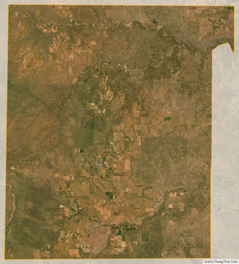
Cottle County Satellite Map
Cottle County Outline Map