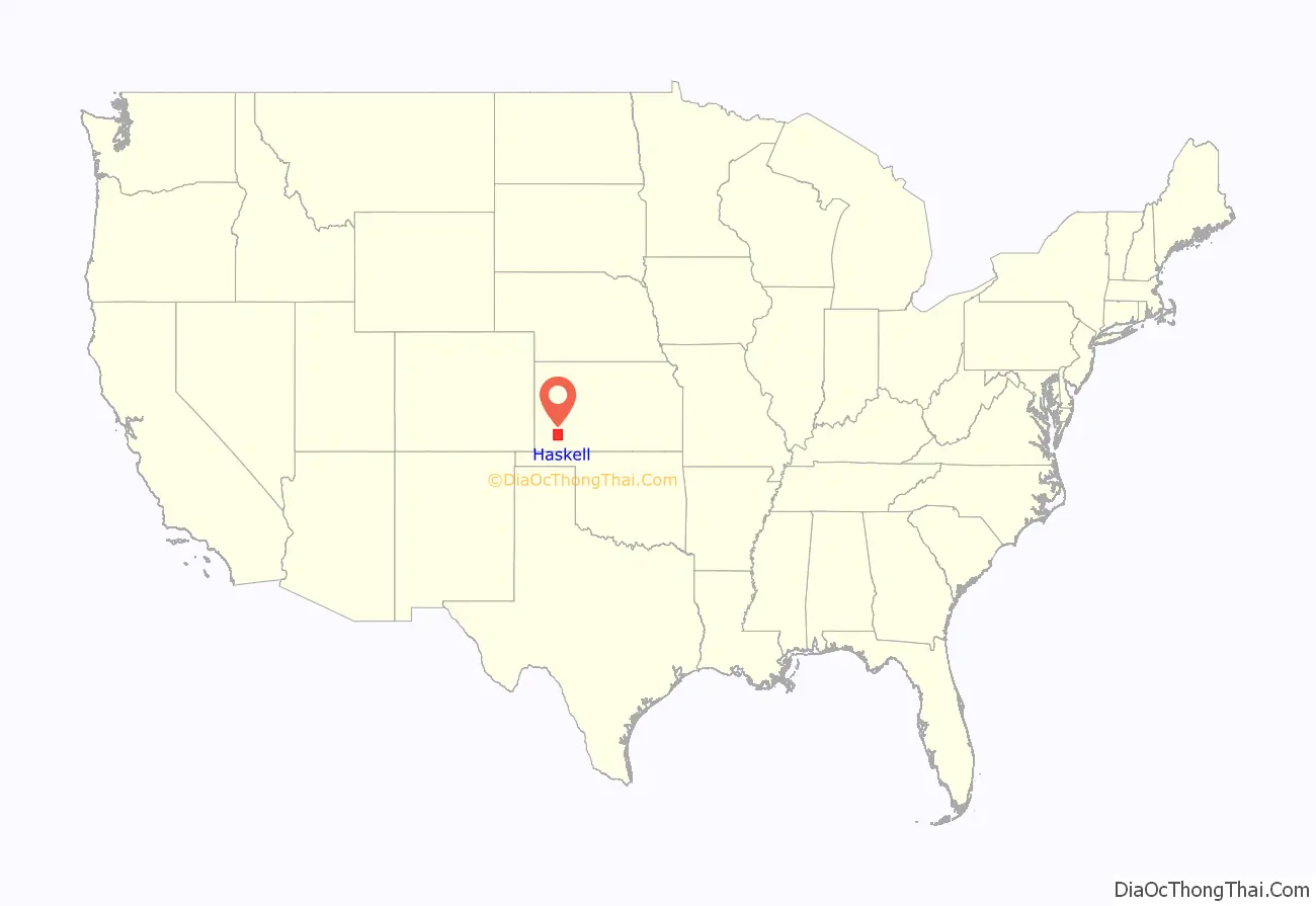
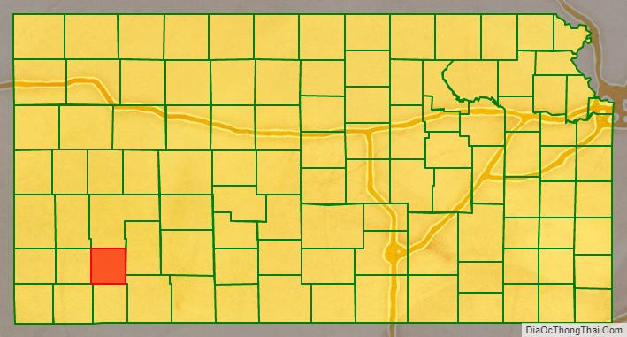
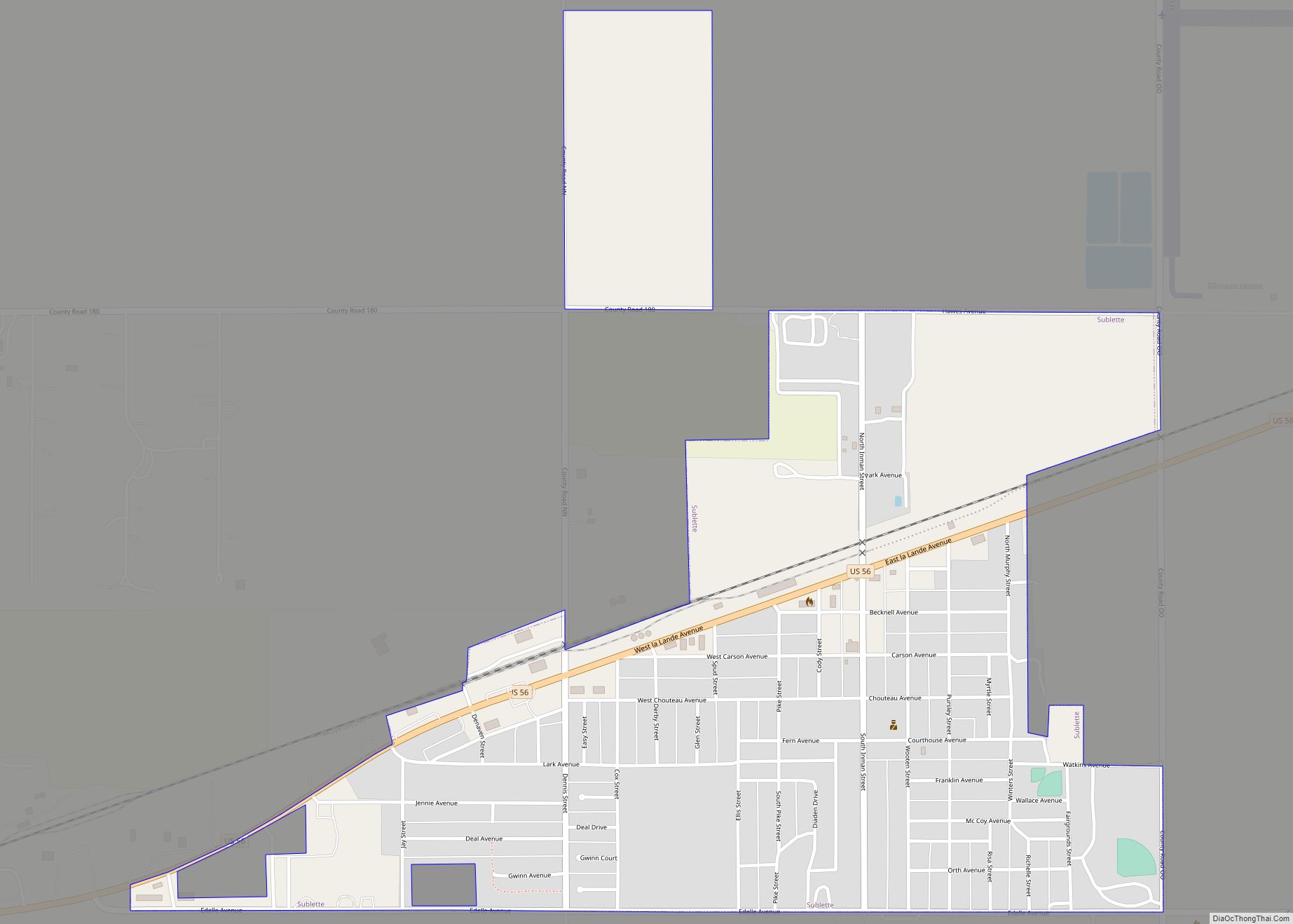
Haskell County (county code HS) is a county located in the U.S. state of Kansas. As of the 2020 census, the county population was 3,780. Its county seat and most populous city is Sublette.
| Name: | Haskell County |
|---|---|
| FIPS code: | 20-081 |
| State: | Kansas |
| Founded: | March 23, 1887 |
| Named for: | Dudley Haskell |
| Seat: | Sublette |
| Largest city: | Sublette |
| Total Area: | 578 sq mi (1,500 km²) |
| Land Area: | 578 sq mi (1,500 km²) |
| Total Population: | 3,780 |
| Population Density: | 6.5/sq mi (2.5/km²) |
| Time zone: | UTC−6 (Central) |
| Summer Time Zone (DST): | UTC−5 (CDT) |
| Website: | HaskellCounty.org |
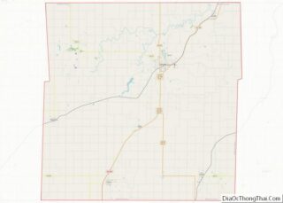
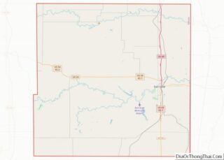
Haskell County location map. Where is Haskell County?
History
Haskell County was founded in 1887. It was named for Dudley C. Haskell, a former member of Congress.
Origin of the Spanish flu pandemic
Historian John M. Barry concluded that Haskell County was the location of the first outbreak of the 1918 flu pandemic (nicknamed “Spanish flu”), which killed between 21 and 100 million people. Dr. Loring Miner, a Haskell County doctor, warned the editors of Public Health Reports of the U.S. Public Health Service about the new and more deadly variant of the virus. It produced the common influenza symptoms with a new intensity: “violent headache and body aches, high fever, non-productive cough. . . . This was violent, rapid in its progress through the body, and sometimes lethal. This influenza killed. Soon dozens of patients—the strongest, the healthiest, the most robust people in the county—were being struck down as suddenly as if they had been shot.” Barry writes that in the first six months of 1918, Miner’s warning of “the influenza of a severe type” was the only reference in that journal to influenza anywhere in the world.
Miner’s report was not published until April 1918 and it failed to collect the attention it needed. It was not until after 2000 that historians’ research revealed the origin of one of the deadliest epidemics in human history.
Historians have generally reported that the path of the disease from Haskell to the world occurred when newly inducted soldiers from the county traveled 200 miles from the county to Camp Funston (now Fort Riley) and were then deployed to Europe at the beginning of United States involvement in World War I.
However, Haskell County’s role in the pandemic is widely disputed. Many pathologists believe that Haskell County did not play a role in the virus’s origin and that historical accounts are entirely coincidental.
Surviving the Dust Bowl
The railroad and the development of oil and gas fields in the 1930s, and the locating of many deep wells for irrigation significantly improved the economy of the area helping overcome the “dust bowl” of that period. Haskell County was one of the hardest hit counties in the Midwest during the drought of 1930–1937.
The first rodeo and fair was held in Sublette in 1916 and the fair continues at the same location. The first school district was founded in Santa Fe in 1887. Amanda I. Watkins, who owned a considerable amount of land in the county, was named “World Wheat Queen” in 1926.
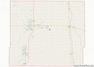
Haskell County Road Map
Geography
According to the U.S. Census Bureau, the county has a total area of 578 square miles (1,500 km), of which 578 square miles (1,500 km) is land and 0.4 square miles (1.0 km) (0.06%) is water.
Haskell County is the flattest county in Kansas.
Adjacent counties
- Finney County (north)
- Gray County (east)
- Meade County (southeast)
- Seward County (south)
- Stevens County (southwest)
- Grant County (west)
- Kearny County (northwest)
