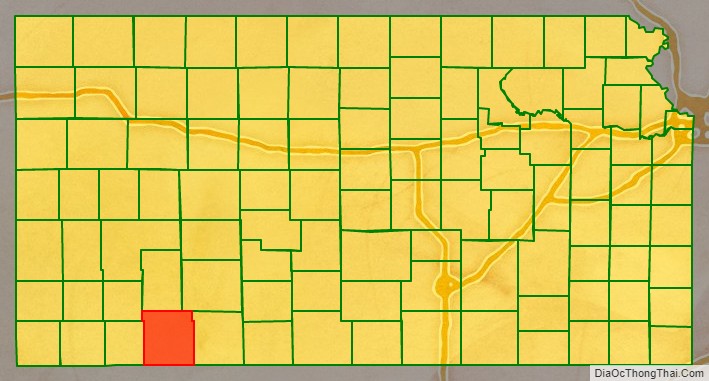
Meade County (standard abbreviation: ME) is a county located in the U.S. state of Kansas. As of the 2020 census, the county population was 4,055. The largest city and county seat is Meade. The county was created in 1873 and named in honor of General George G. Meade.
| Name: | Meade County |
|---|---|
| FIPS code: | 20-119 |
| State: | Kansas |
| Founded: | March 20, 1873 |
| Named for: | George G. Meade |
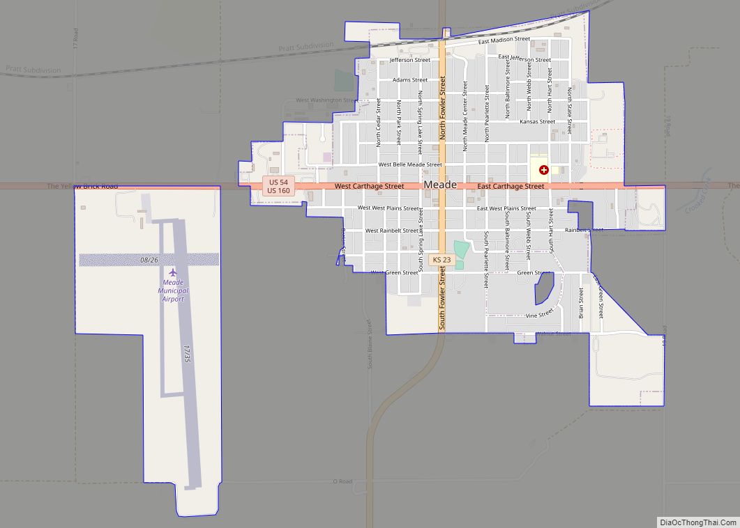
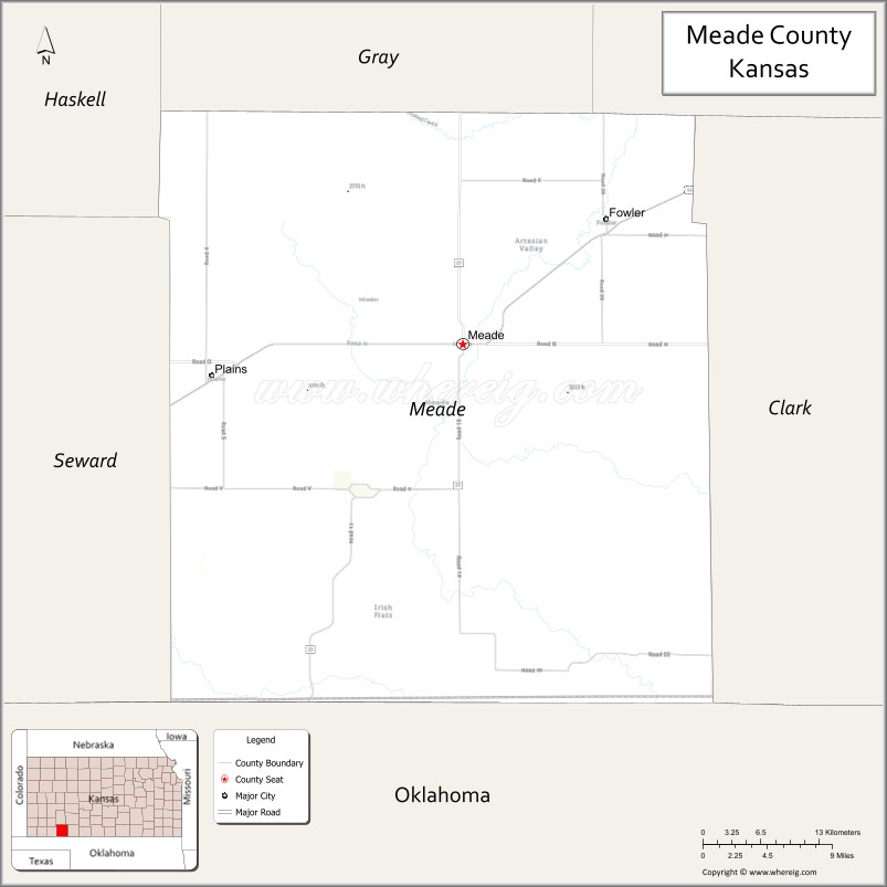
| Seat: | Meade |
| Largest city: | Meade |
| Total Area: | 979 sq mi (2,540 km²) |
| Land Area: | 978 sq mi (2,530 km²) |
| Total Population: | 4,055 |
| Population Density: | 4.1/sq mi (1.6/km²) |
| Time zone: | UTC−6 (Central) |
| Summer Time Zone (DST): | UTC−5 (CDT) |
| Website: | County website |
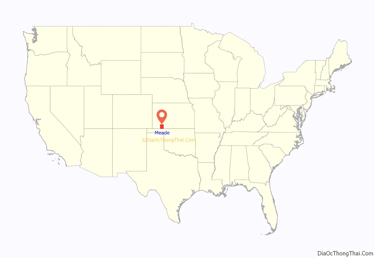
Meade County location map. Where is Meade County?
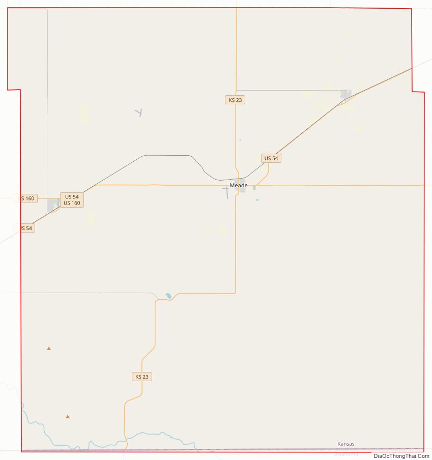
Meade County Road Map
Geography
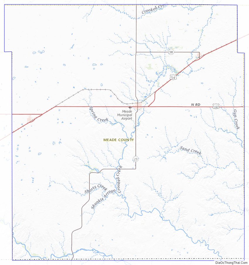
According to the U.S. Census Bureau, the county has a total area of 979 square miles (2,540 km), of which 978 square miles (2,530 km) is land and 1.3 square miles (3.4 km) (0.1%) is water.
Adjacent counties
- Gray County (north)
- Ford County (northeast)
- Clark County (east)
- Beaver County, Oklahoma (south)
- Seward County (west)
- Haskell County (northwest)
Meade County Topographic Map
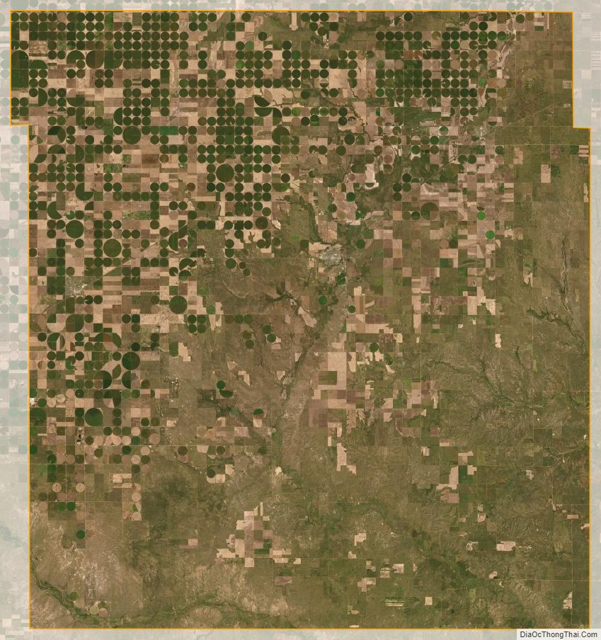
Meade County Satellite Map
Meade County Outline Map