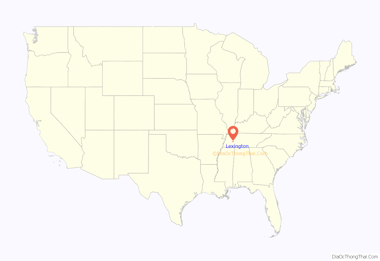
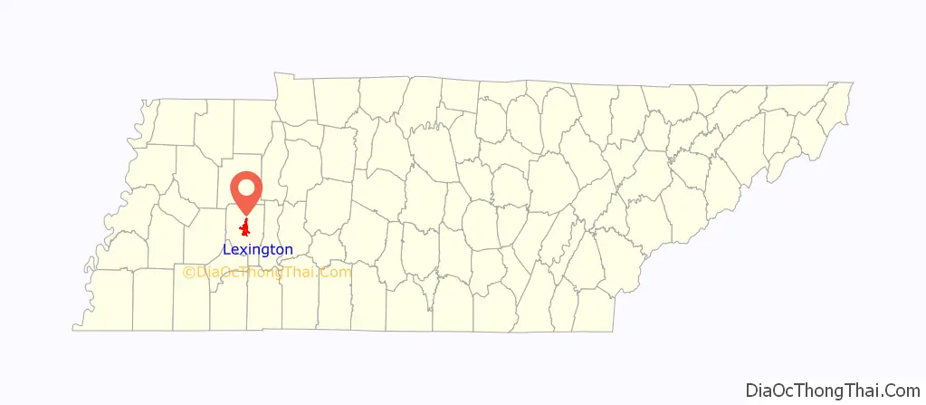
Lexington is a city in Henderson County, Tennessee, United States. Lexington is midway between Memphis and Nashville, lying 10 miles (16 km) south of Interstate 40, which connects the two cities. The population was 7,956 at the 2020 census. It is the county seat of Henderson County.
| Name: | Lexington city |
|---|---|
| LSAD Code: | 25 |
| LSAD Description: | city (suffix) |
| State: | Tennessee |
| County: | Henderson County |
| Elevation: | 522 ft (159.1 m) |
| Total Area: | 11.88 sq mi (30.78 km²) |
| Land Area: | 11.71 sq mi (30.32 km²) |
| Water Area: | 0.18 sq mi (0.46 km²) |
| Total Population: | 7,956 |
| Population Density: | 679.59/sq mi (262.40/km²) |
| ZIP code: | 38351 |
| Area code: | 731 |
| FIPS code: | 4741980 |
| GNISfeature ID: | 1291101 |
| Website: | www.lexingtontn.gov |
Online Interactive Map
Click on ![]() to view map in "full screen" mode.
to view map in "full screen" mode.
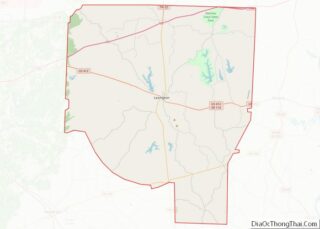
Lexington location map. Where is Lexington city?
History
Shortly after the 1821 creation of Henderson County, a site near its center was chosen as a county seat, and was named in honor of Lexington, Massachusetts, site of the first battle of the American Revolution. Land Grant holder Samuel Wilson gave the land for the town, retaining a lot on the square where his house was already situated. The square is oriented so the corners point to the cardinal points on the compass. The first county courthouse was built in 1823; Lexington was incorporated in 1824 and by 1830 had a population of 260.
As the lead-up to the Civil War began, Henderson County voted against secession. As the war progressed, both Union and Confederate regiments were recruited in the county. The area in and around Lexington was the site of a skirmish on December 18, 1862. Union Colonel Robert Ingersoll sent his troops to destroy a bridge over Beech Creek to disallow the Confederate army moving into the area. However, Ingersoll’s troops did not destroy the bridge, and General Nathan Bedford Forrest’s troops headed into Lexington. Forrest’s troops overtook the Union soldiers, taking over 140 men, including Colonel Ingersoll, and collected artillery and supplies left behind by Union soldiers who escaped.
In 1918, an African-American man called Berry Noyse who was accused of killing the sheriff was lynched by a mob in the courthouse square and burned in the street.
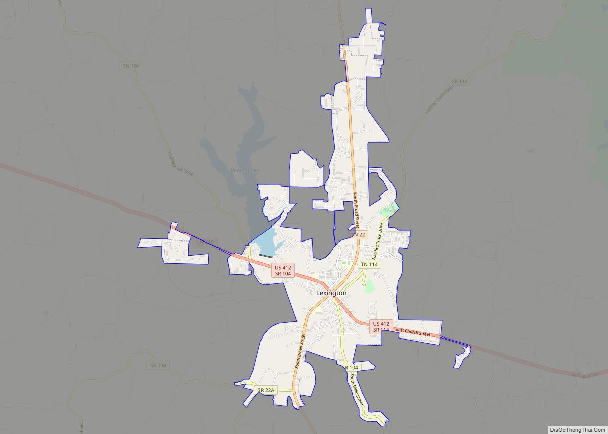
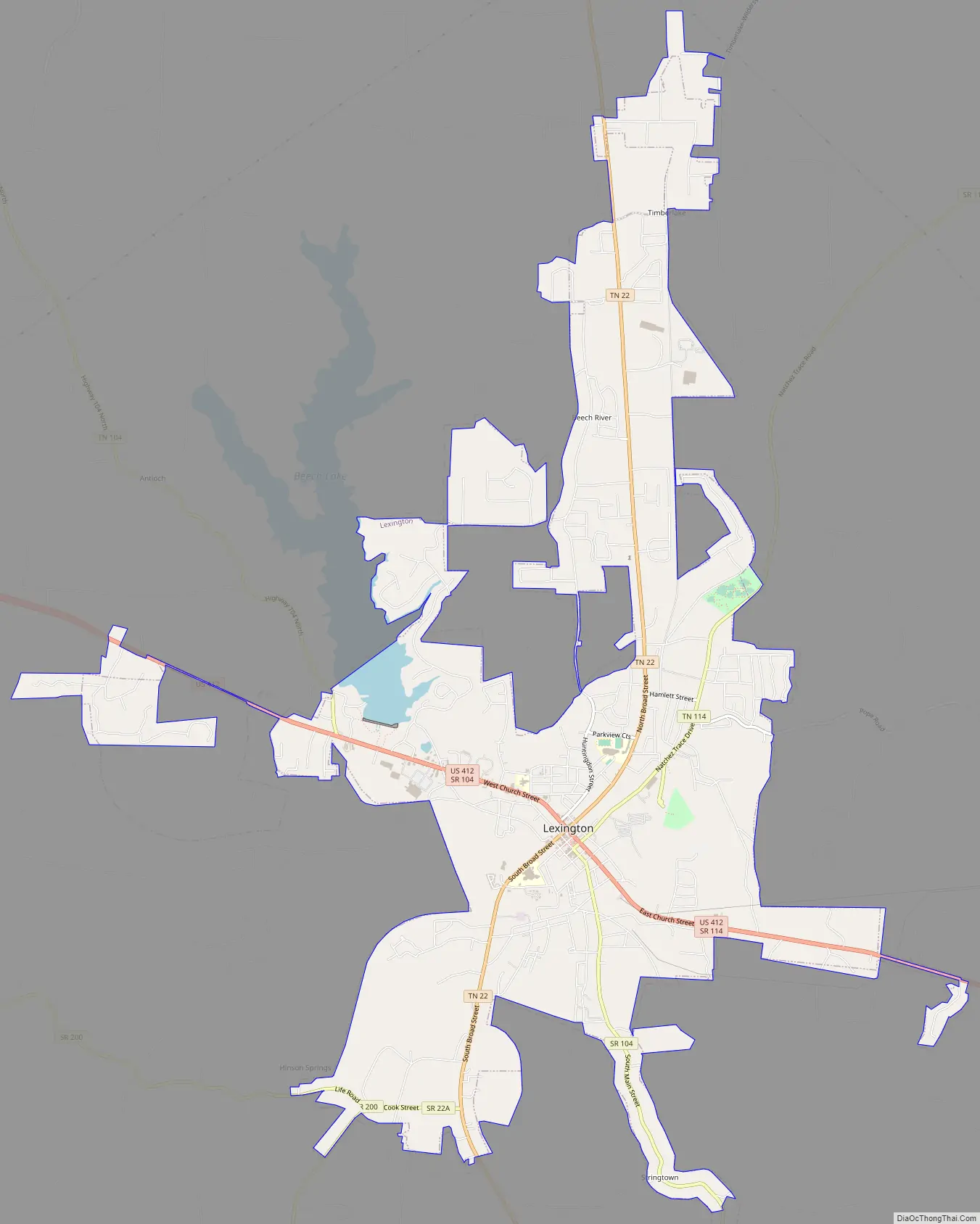
Lexington Road Map
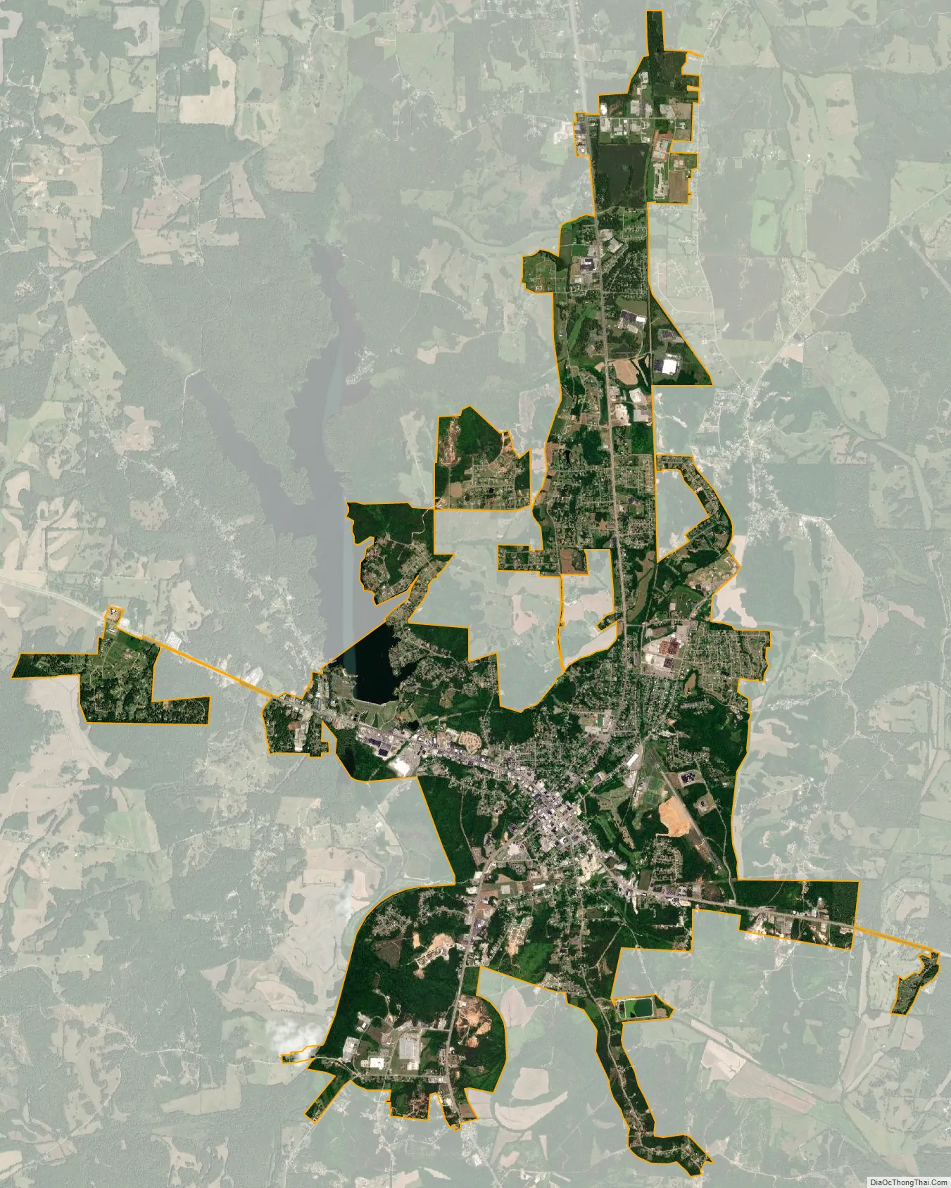
Lexington city Satellite Map
Geography
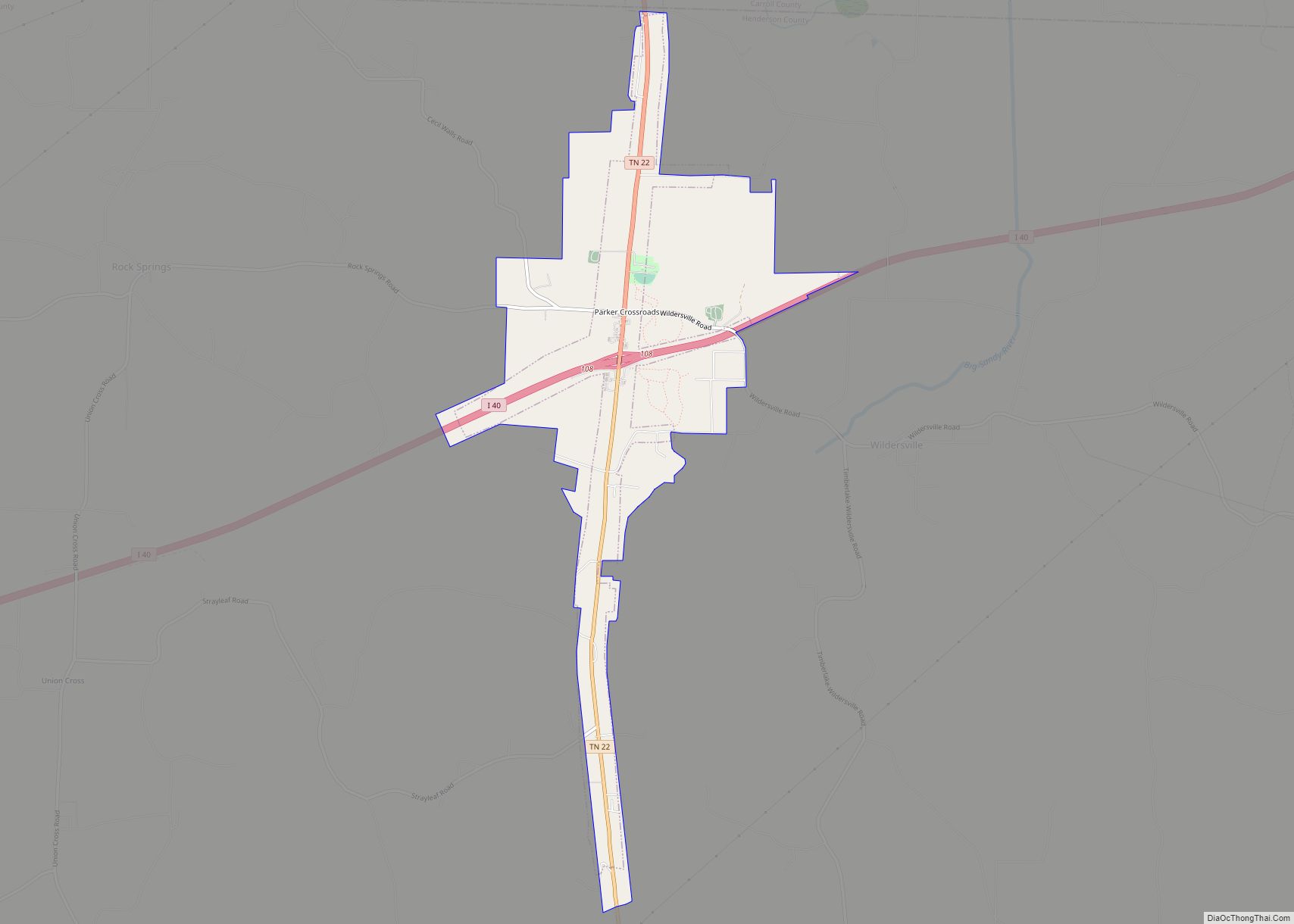
Lexington is in central Henderson County. U.S. Route 412 (Church Street) is the main road through the city, leading east 85 miles (137 km) to Columbia and west 27 miles (43 km) to Jackson. Tennessee State Route 22 (Broad Street) crosses US 412 in the center of Lexington, leading north 9 miles (14 km) to Interstate 40 at Parkers Crossroads and south 20 miles (32 km) to Milledgeville.
According to the United States Census Bureau, Lexington has a total area of 12.4 square miles (32.2 km), of which 12.2 square miles (31.7 km) are land and 0.2 square miles (0.4 km), or 1.34%, are water. The Beech River, an east-flowing tributary of the Tennessee River, runs through the southwestern part of the city.
Lexington is 7 miles (11 km) southwest of Natchez Trace State Park.
See also
Map of Tennessee State and its subdivision:- Anderson
- Bedford
- Benton
- Bledsoe
- Blount
- Bradley
- Campbell
- Cannon
- Carroll
- Carter
- Cheatham
- Chester
- Claiborne
- Clay
- Cocke
- Coffee
- Crockett
- Cumberland
- Davidson
- Decatur
- DeKalb
- Dickson
- Dyer
- Fayette
- Fentress
- Franklin
- Gibson
- Giles
- Grainger
- Greene
- Grundy
- Hamblen
- Hamilton
- Hancock
- Hardeman
- Hardin
- Hawkins
- Haywood
- Henderson
- Henry
- Hickman
- Houston
- Humphreys
- Jackson
- Jefferson
- Johnson
- Knox
- Lake
- Lauderdale
- Lawrence
- Lewis
- Lincoln
- Loudon
- Macon
- Madison
- Marion
- Marshall
- Maury
- McMinn
- McNairy
- Meigs
- Monroe
- Montgomery
- Moore
- Morgan
- Obion
- Overton
- Perry
- Pickett
- Polk
- Putnam
- Rhea
- Roane
- Robertson
- Rutherford
- Scott
- Sequatchie
- Sevier
- Shelby
- Smith
- Stewart
- Sullivan
- Sumner
- Tipton
- Trousdale
- Unicoi
- Union
- Van Buren
- Warren
- Washington
- Wayne
- Weakley
- White
- Williamson
- Wilson
- Alabama
- Alaska
- Arizona
- Arkansas
- California
- Colorado
- Connecticut
- Delaware
- District of Columbia
- Florida
- Georgia
- Hawaii
- Idaho
- Illinois
- Indiana
- Iowa
- Kansas
- Kentucky
- Louisiana
- Maine
- Maryland
- Massachusetts
- Michigan
- Minnesota
- Mississippi
- Missouri
- Montana
- Nebraska
- Nevada
- New Hampshire
- New Jersey
- New Mexico
- New York
- North Carolina
- North Dakota
- Ohio
- Oklahoma
- Oregon
- Pennsylvania
- Rhode Island
- South Carolina
- South Dakota
- Tennessee
- Texas
- Utah
- Vermont
- Virginia
- Washington
- West Virginia
- Wisconsin
- Wyoming