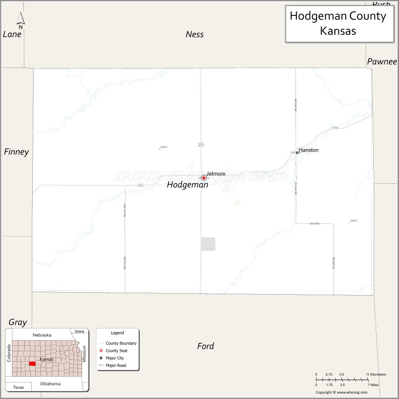
Hodgeman County (county code HG) is a county located in the U.S. state of Kansas. As of the 2020 census, the county population was 1,723. Its county seat and most populous city is Jetmore.
| Name: | Hodgeman County |
|---|---|
| FIPS code: | 20-083 |
| State: | Kansas |
| Founded: | February 26, 1867 |
| Named for: | Amos Hodgman |
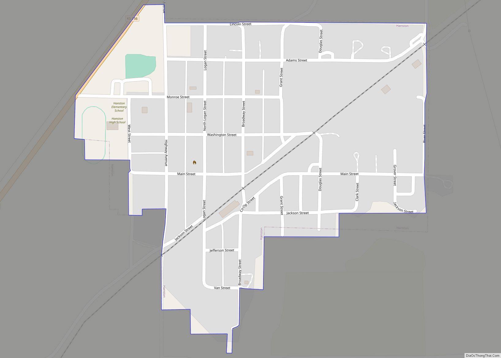
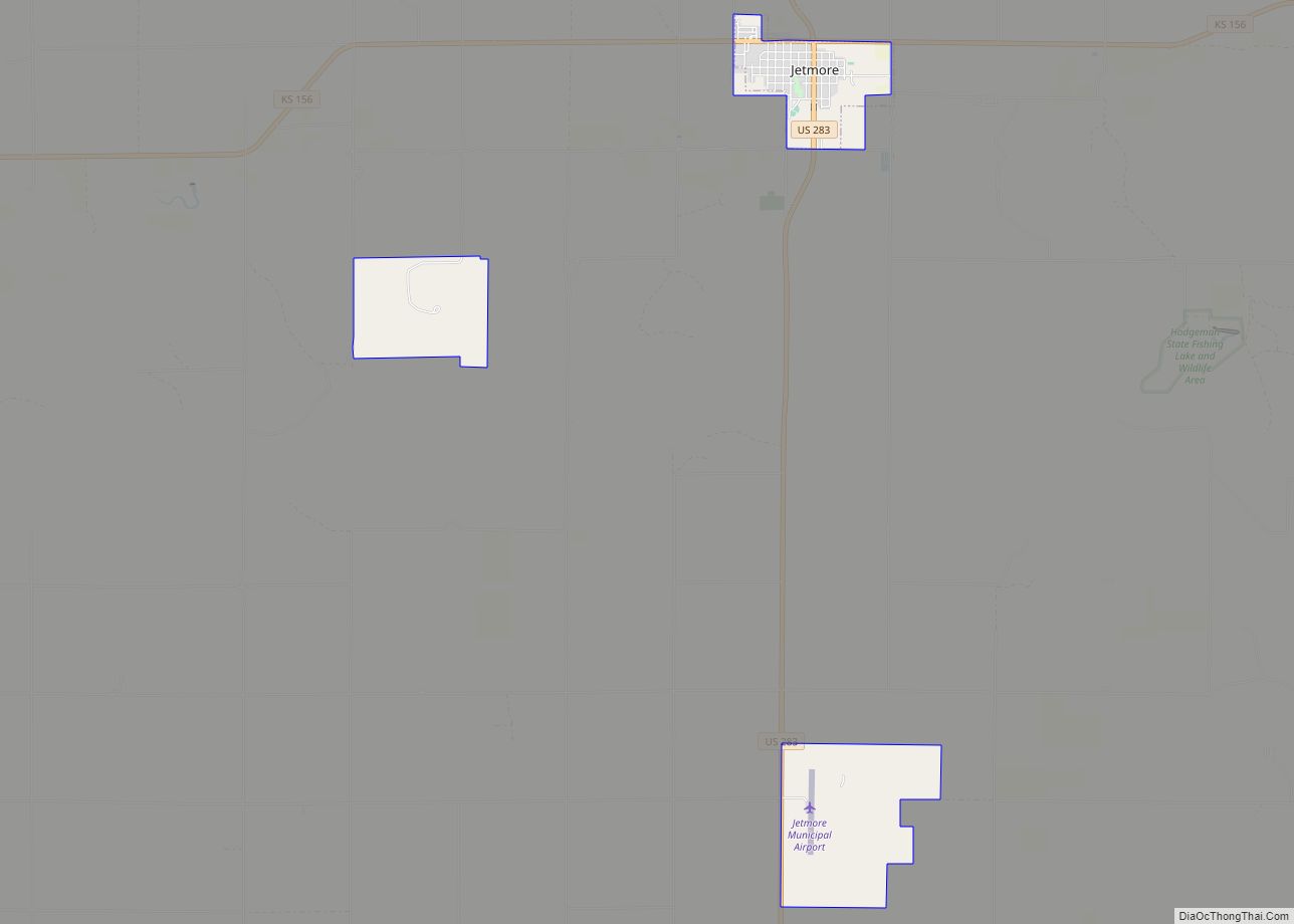
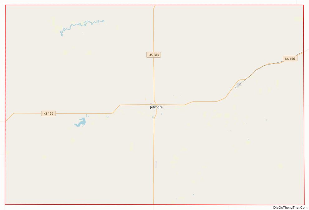
| Seat: | Jetmore |
| Largest city: | Jetmore |
| Total Area: | 860 sq mi (2,200 km²) |
| Land Area: | 860 sq mi (2,200 km²) |
| Total Population: | 1,723 |
| Population Density: | 2.0/sq mi (0.8/km²) |
| Time zone: | UTC−6 (Central) |
| Summer Time Zone (DST): | UTC−5 (CDT) |
| Website: | hodgemancountyks.com |
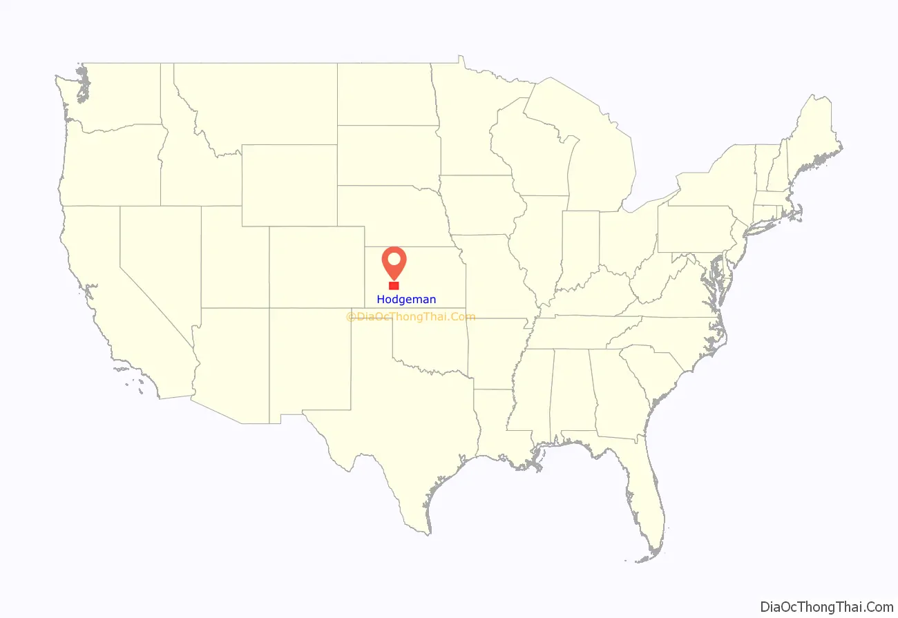
Hodgeman County location map. Where is Hodgeman County?
History
Hodgeman County was founded in 1867. It was named for Amos Hodgman, member of the 7th Regiment Kansas Volunteer Cavalry. The letter E was later added to the namesake’s name.
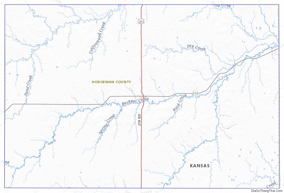
Hodgeman County Road Map
Geography
According to the United States Census Bureau, the county has a total area of 860 square miles (2,200 km), of which 860 square miles (2,200 km) is land and 0.3 square miles (0.78 km) (0.04%) is water.
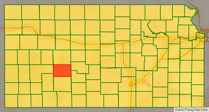
Adjacent counties
- Ness County (north)
- Pawnee County (east)
- Edwards County (southeast)
- Ford County (south)
- Gray County (southwest)
- Finney County (west)
Hodgeman County Topographic Map
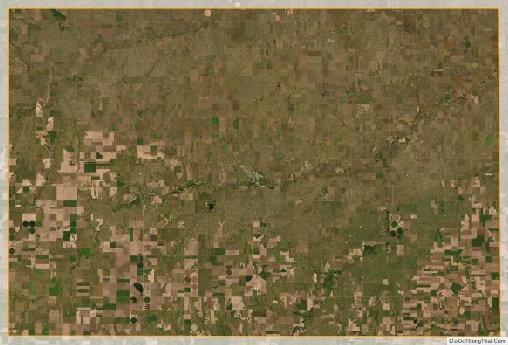
Hodgeman County Satellite Map
Hodgeman County Outline Map