Jetmore is a city in and the county seat of Hodgeman County, Kansas, United States. As of the 2020 census, the population of the city was 770.
| Name: | Jetmore city |
|---|---|
| LSAD Code: | 25 |
| LSAD Description: | city (suffix) |
| State: | Kansas |
| County: | Hodgeman County |
| Founded: | 1870s |
| Incorporated: | 1887 |
| Elevation: | 2,307 ft (703 m) |
| Total Area: | 4.21 sq mi (10.90 km²) |
| Land Area: | 4.21 sq mi (10.90 km²) |
| Water Area: | 0.00 sq mi (0.00 km²) |
| Total Population: | 770 |
| Population Density: | 180/sq mi (71/km²) |
| ZIP code: | 67854 |
| Area code: | 620 |
| FIPS code: | 2035450 |
| Website: | jetmorekansas.com |
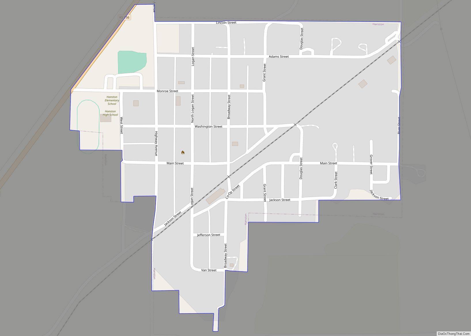
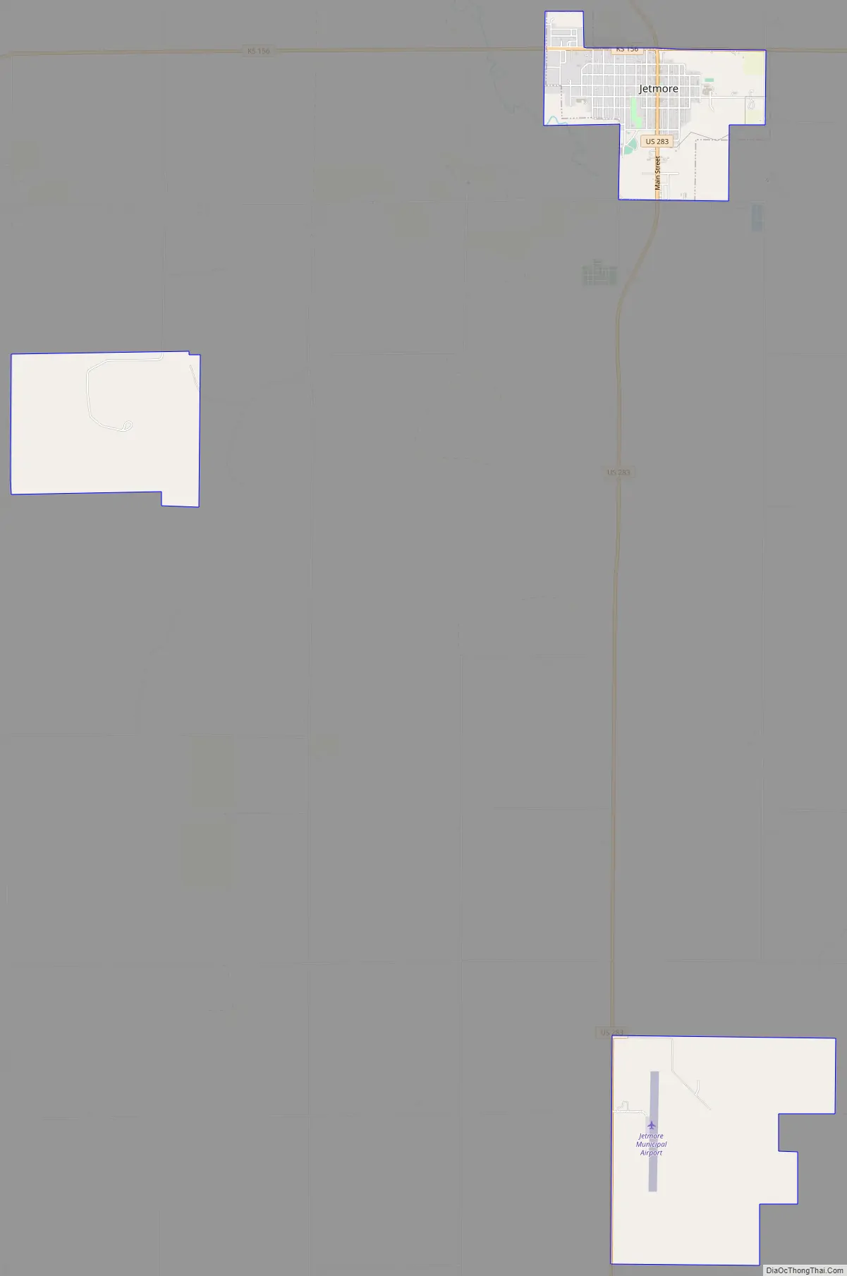
Online Interactive Map
Click on ![]() to view map in "full screen" mode.
to view map in "full screen" mode.
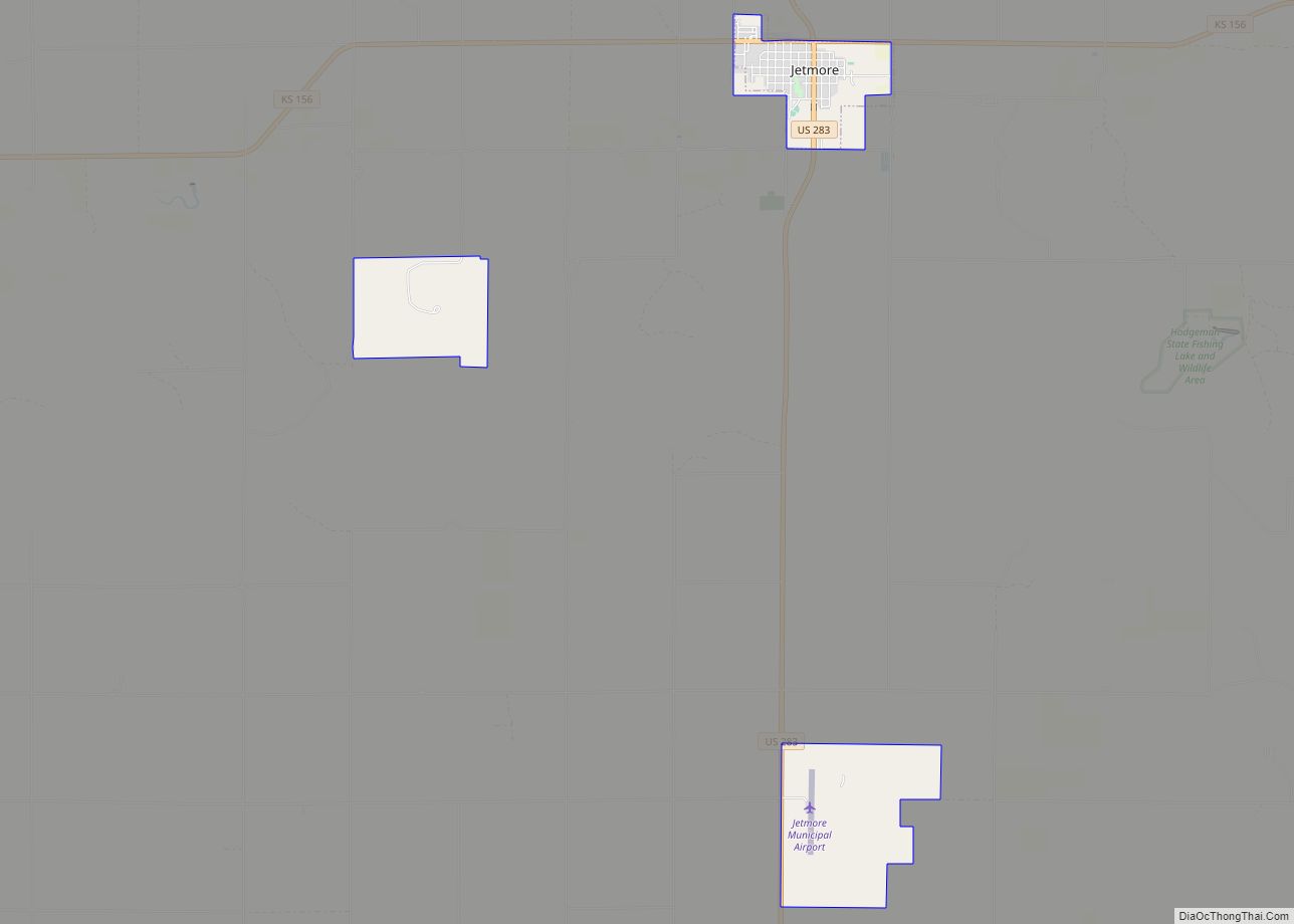
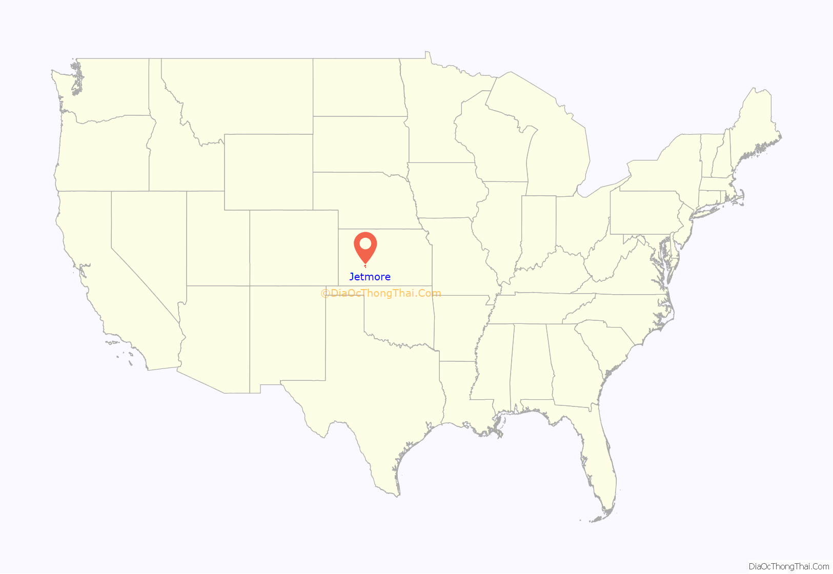
Jetmore location map. Where is Jetmore city?

History
Jetmore was originally called Buckner, and was laid out under the latter name in 1879. The name was changed to Jetmore in 1880 in honor of Col. Abraham Buckles Jetmore. A lawyer from Topeka, Abraham Jetmore was instrumental in securing a railroad line through the city and in arranging for it to become the county seat.
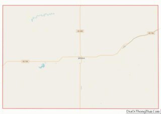
Jetmore Road Map
Jetmore city Satellite Map

Geography
Jetmore is located at 38°5′3″N 99°53′46″W / 38.08417°N 99.89611°W / 38.08417; -99.89611 (38.084137, -99.895999). According to the United States Census Bureau, the city has a total area of 4.49 square miles (11.63 km), all land. The Buckner Creek, a tributary of the Pawnee River, flows through Jetmore.
The surface rocks in this area consist of Greenhorn limestone and Graneros shale.
Climate
The climate in this area is characterized by hot, humid summers and generally mild to cool winters. According to the Köppen Climate Classification system, Jetmore has a humid subtropical climate, abbreviated “Cfa” on climate maps.
See also
Map of Kansas State and its subdivision:- Allen
- Anderson
- Atchison
- Barber
- Barton
- Bourbon
- Brown
- Butler
- Chase
- Chautauqua
- Cherokee
- Cheyenne
- Clark
- Clay
- Cloud
- Coffey
- Comanche
- Cowley
- Crawford
- Decatur
- Dickinson
- Doniphan
- Douglas
- Edwards
- Elk
- Ellis
- Ellsworth
- Finney
- Ford
- Franklin
- Geary
- Gove
- Graham
- Grant
- Gray
- Greeley
- Greenwood
- Hamilton
- Harper
- Harvey
- Haskell
- Hodgeman
- Jackson
- Jefferson
- Jewell
- Johnson
- Kearny
- Kingman
- Kiowa
- Labette
- Lane
- Leavenworth
- Lincoln
- Linn
- Logan
- Lyon
- Marion
- Marshall
- McPherson
- Meade
- Miami
- Mitchell
- Montgomery
- Morris
- Morton
- Nemaha
- Neosho
- Ness
- Norton
- Osage
- Osborne
- Ottawa
- Pawnee
- Phillips
- Pottawatomie
- Pratt
- Rawlins
- Reno
- Republic
- Rice
- Riley
- Rooks
- Rush
- Russell
- Saline
- Scott
- Sedgwick
- Seward
- Shawnee
- Sheridan
- Sherman
- Smith
- Stafford
- Stanton
- Stevens
- Sumner
- Thomas
- Trego
- Wabaunsee
- Wallace
- Washington
- Wichita
- Wilson
- Woodson
- Wyandotte
- Alabama
- Alaska
- Arizona
- Arkansas
- California
- Colorado
- Connecticut
- Delaware
- District of Columbia
- Florida
- Georgia
- Hawaii
- Idaho
- Illinois
- Indiana
- Iowa
- Kansas
- Kentucky
- Louisiana
- Maine
- Maryland
- Massachusetts
- Michigan
- Minnesota
- Mississippi
- Missouri
- Montana
- Nebraska
- Nevada
- New Hampshire
- New Jersey
- New Mexico
- New York
- North Carolina
- North Dakota
- Ohio
- Oklahoma
- Oregon
- Pennsylvania
- Rhode Island
- South Carolina
- South Dakota
- Tennessee
- Texas
- Utah
- Vermont
- Virginia
- Washington
- West Virginia
- Wisconsin
- Wyoming