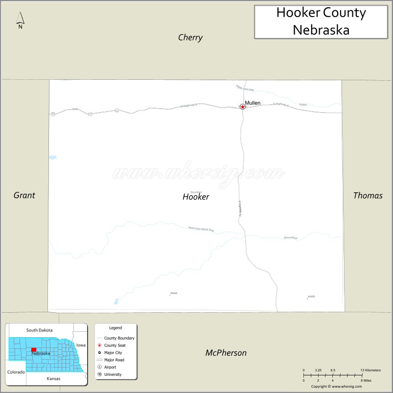
| Name: | Hooker County |
|---|---|
| FIPS code: | 31-091 |
| State: | Nebraska |
| Founded: | 1889 |
| Named for: | Joseph Hooker |
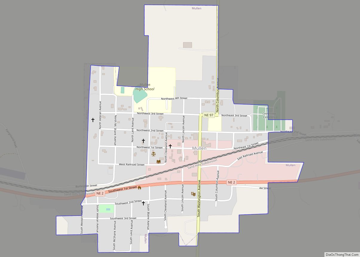
| Seat: | Mullen |
| Total Area: | 721 sq mi (1,870 km²) |
| Land Area: | 721 sq mi (1,870 km²) |
| Total Population: | 734 |
| Population Density: | 0.9/sq mi (0.3/km²) |
| Time zone: | UTC−7 (Mountain) |
| Summer Time Zone (DST): | UTC−6 (MDT) |
| Website: | www.co.hooker.ne.us |
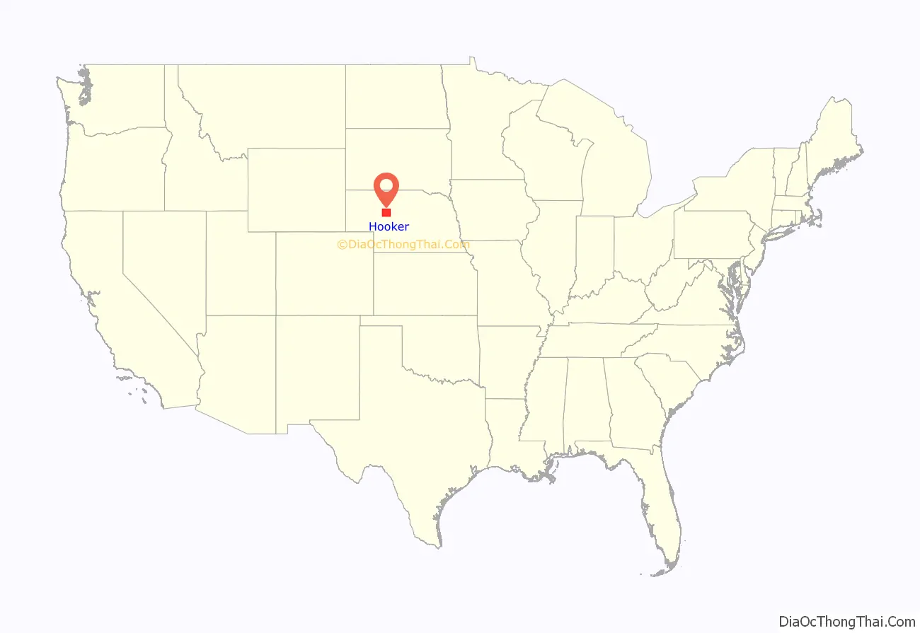
Hooker County location map. Where is Hooker County?
History
Hooker County was formed in 1889 with construction of a line for Chicago, Burlington and Quincy Railroad into the territory. It was named for Civil War General Joseph Hooker.
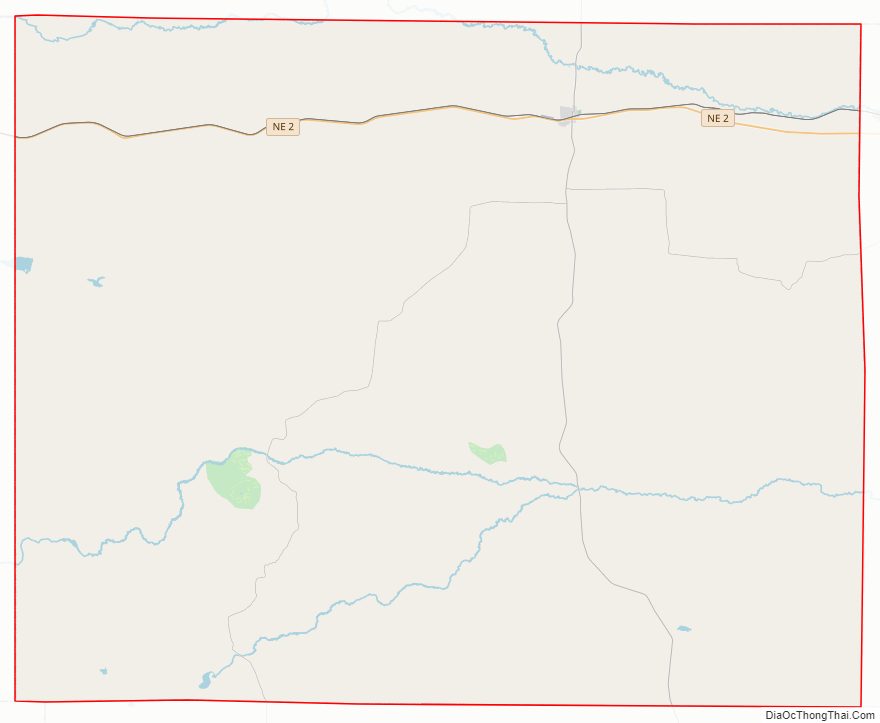
Hooker County Road Map
Geography
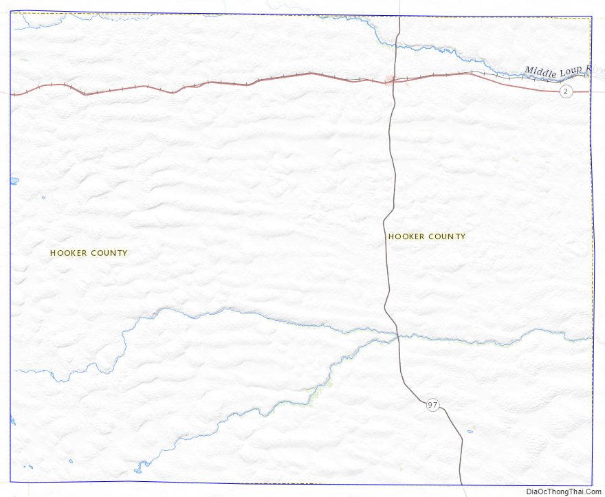
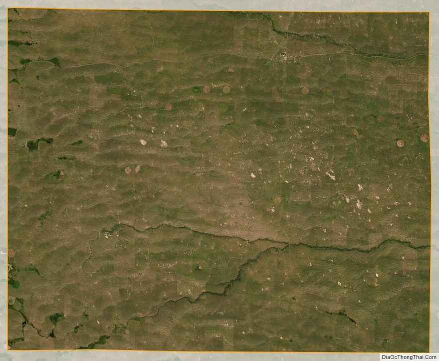
The terrain of Hooker County consists of low rolling hills running east–west. The Middle Loup River flows eastward through the upper part of the county. The county has a total area of 721 square miles (1,870 km), of which 721 square miles (1,870 km) is land and 0.3 square miles (0.78 km) (0.05%) is water.
Most of Nebraska’s 93 counties (the eastern 2/3) observe Central Time; the western counties observe Mountain Time. Hooker County is the easternmost of the Nebraska counties to observe Mountain Time.
Major highways
- Nebraska Highway 2
- Nebraska Highway 97
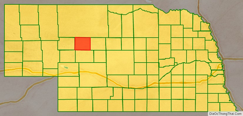
Adjacent counties
- Cherry County – north
- Thomas County – east (Central Time Zone boundary)
- McPherson County – south
- Arthur County – southwest
- Grant County – west
Lakes
- Carr Lake
- Jefford Lake
Hooker County Topographic Map
Hooker County Satellite Map
Hooker County Outline Map