Thomas County is a county in the U.S. state of Nebraska. As of the 2010 United States Census, the population was 647. Its county seat is Thedford. The county was formed in 1887, and was named for General George H. Thomas.
In the Nebraska license plate system, Thomas County is represented by the prefix 89 (it had the eighty-ninth-largest number of vehicles registered in the county when the license plate system was established in 1922).
| Name: | Thomas County |
|---|---|
| FIPS code: | 31-171 |
| State: | Nebraska |
| Founded: | 1887 |
| Named for: | George Henry Thomas |
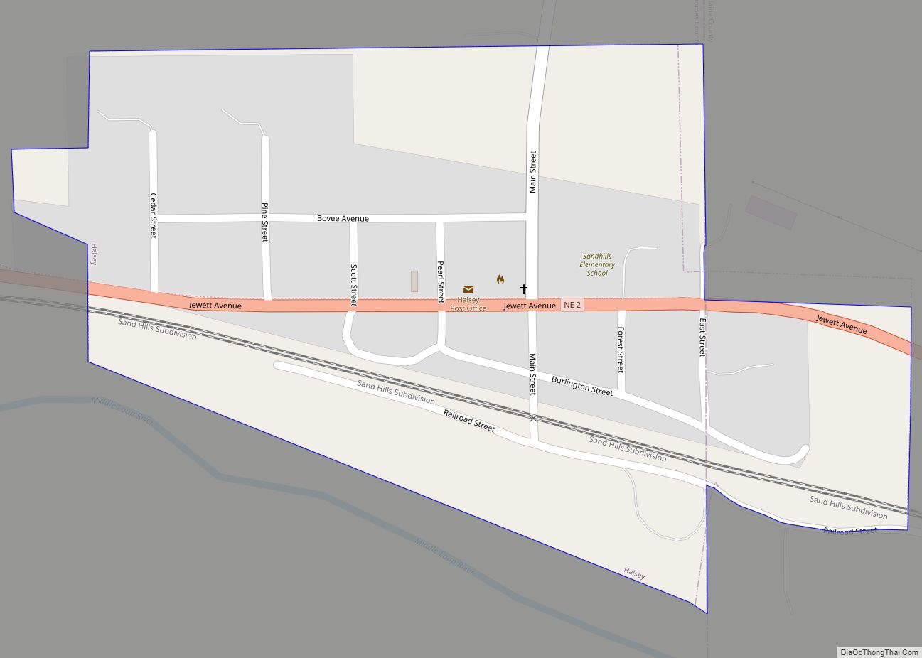
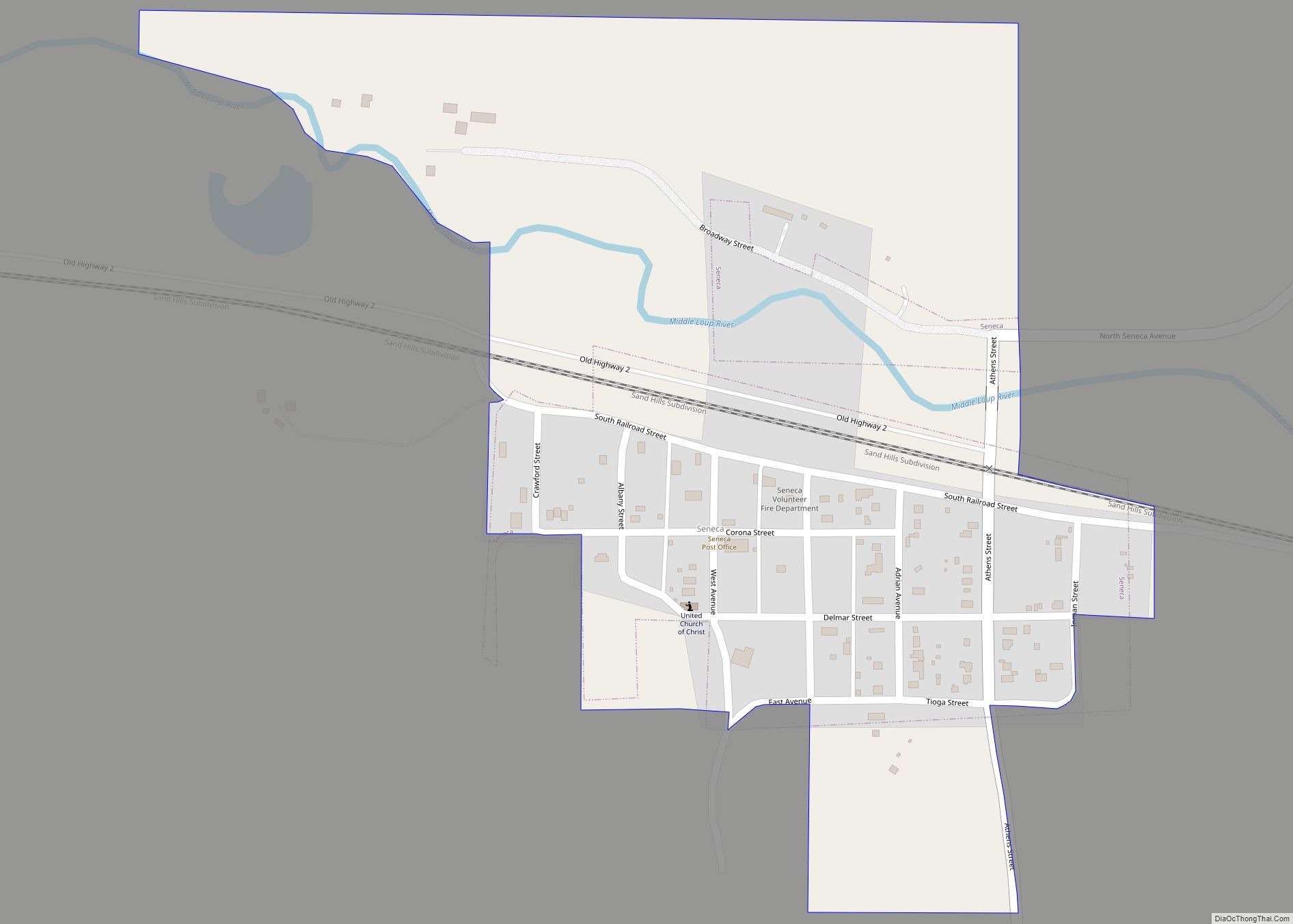
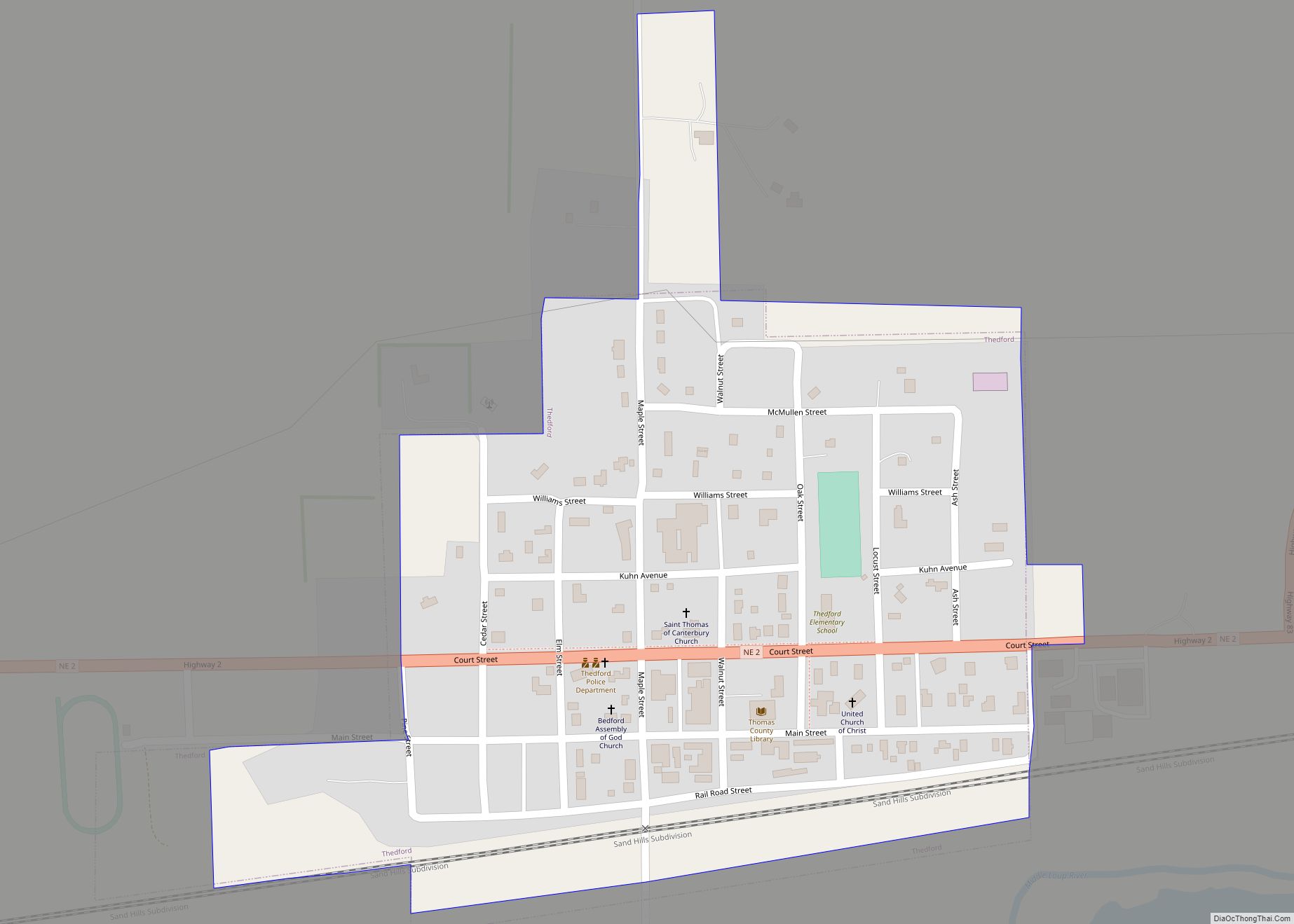
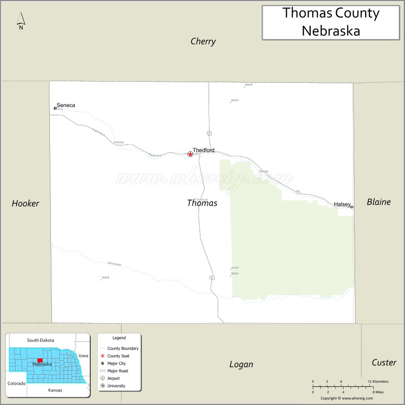
| Seat: | Thedford |
| Total Area: | 714 sq mi (1,850 km²) |
| Land Area: | 713 sq mi (1,850 km²) |
| Total Population: | 673 |
| Population Density: | 1.0/sq mi (0.4/km²) |
| Time zone: | UTC−6 (Central) |
| Summer Time Zone (DST): | UTC−5 (CDT) |
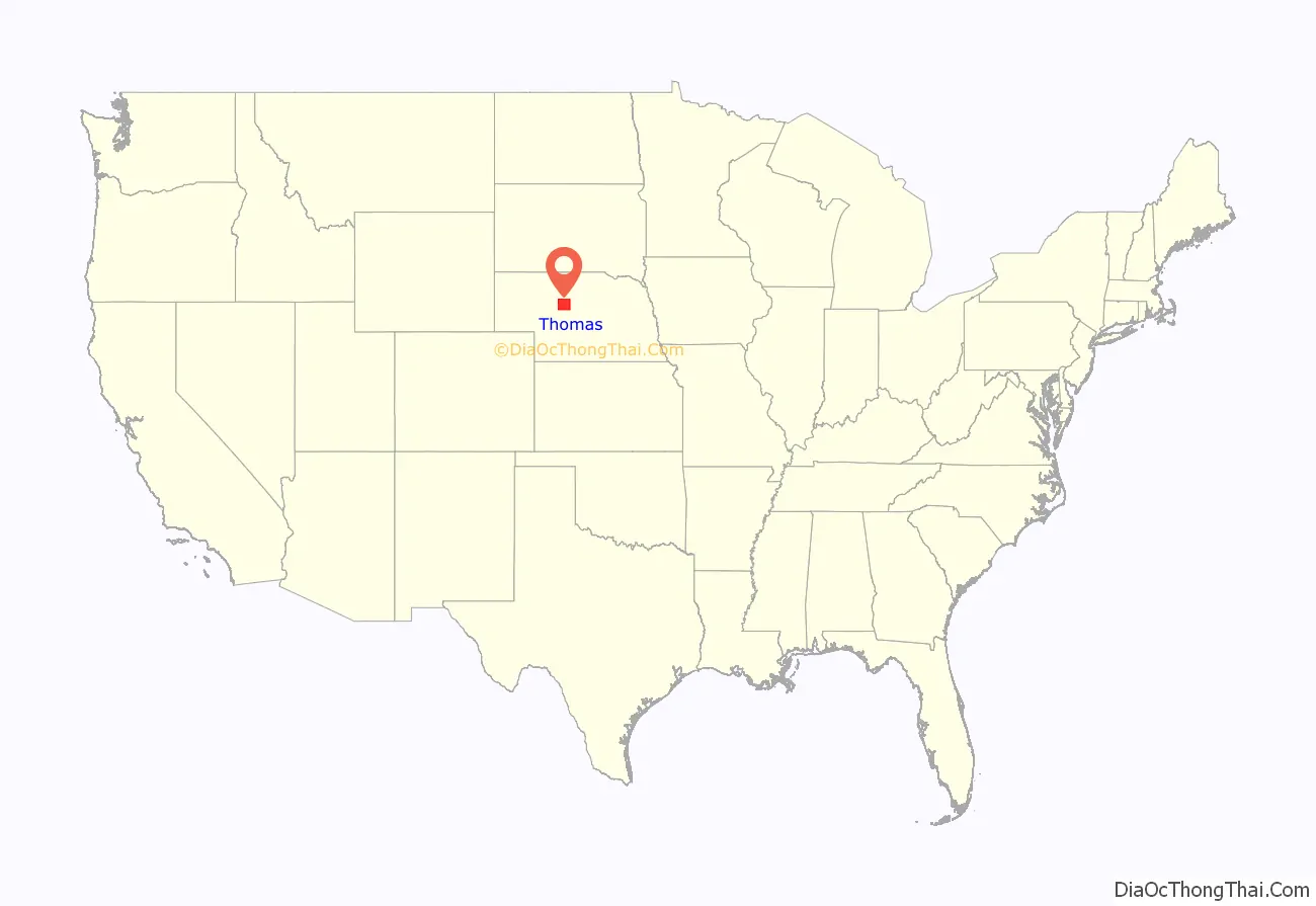
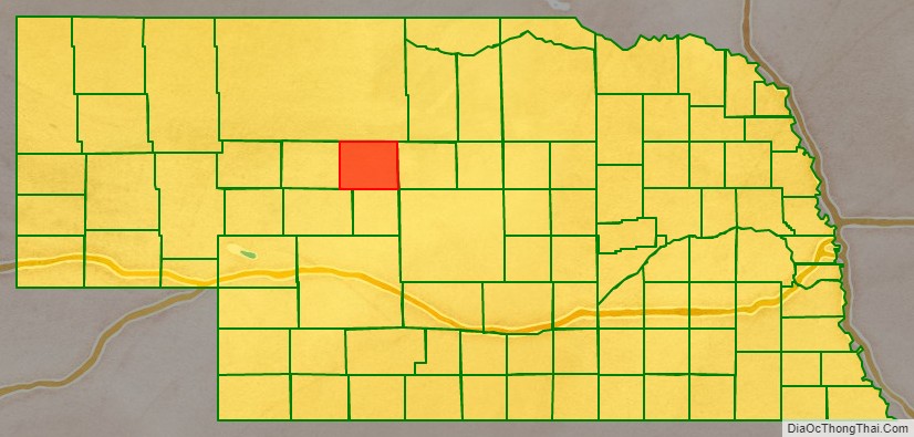
Thomas County location map. Where is Thomas County?
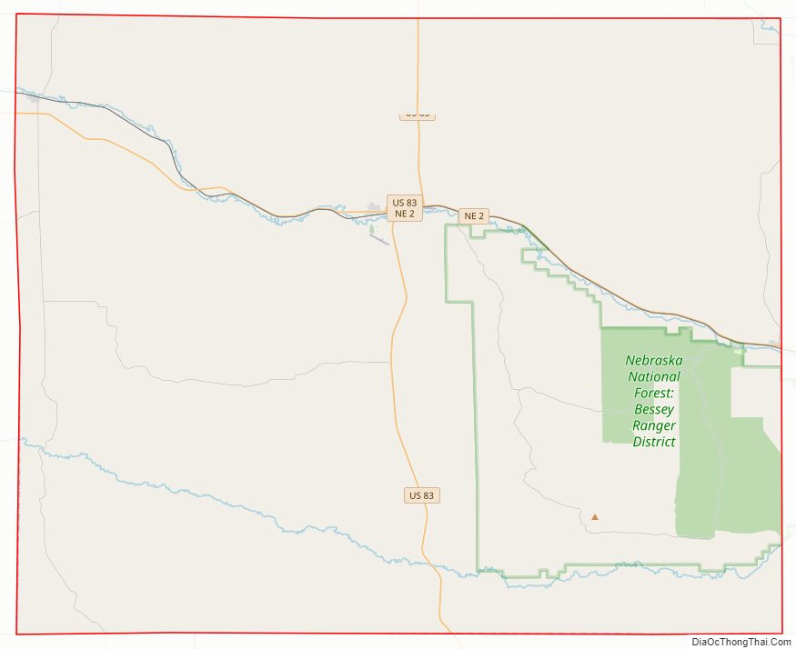
Thomas County Road Map
Geography
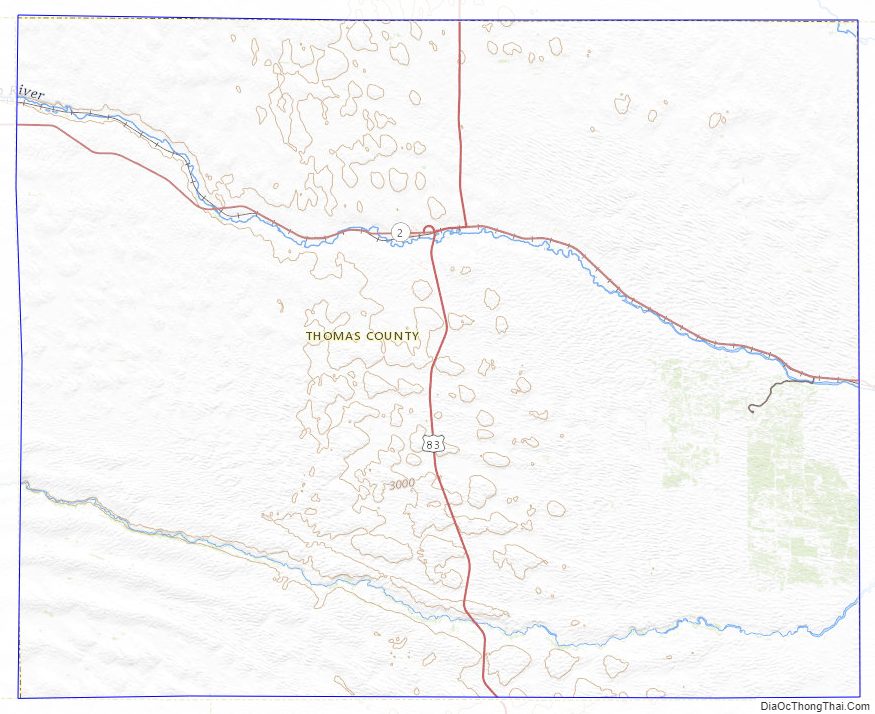
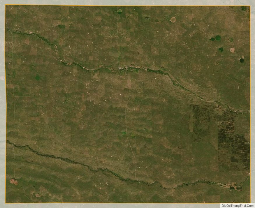
The terrain of Thomas County consists of rolling hills, sloping to the east. The Middle Loup River flows east-southeastward through the middle of the county, and the Dismal River flows in the same direction through the lower part of the county. The two streams converge east of Thomas County. The county has an area of 714 square miles (1,850 km), of which 713 square miles (1,850 km) is land and 0.8 square miles (2.1 km) (0.1%) is water.
Major highways
- U.S. Highway 83
- Nebraska Highway 2
Adjacent counties
- Cherry County – north
- Blaine County – east
- Logan County – south
- McPherson County – southwest
- Hooker County – west
National protected area
- Nebraska National Forest (part)
Thomas County Topographic Map
Thomas County Satellite Map
Thomas County Outline Map