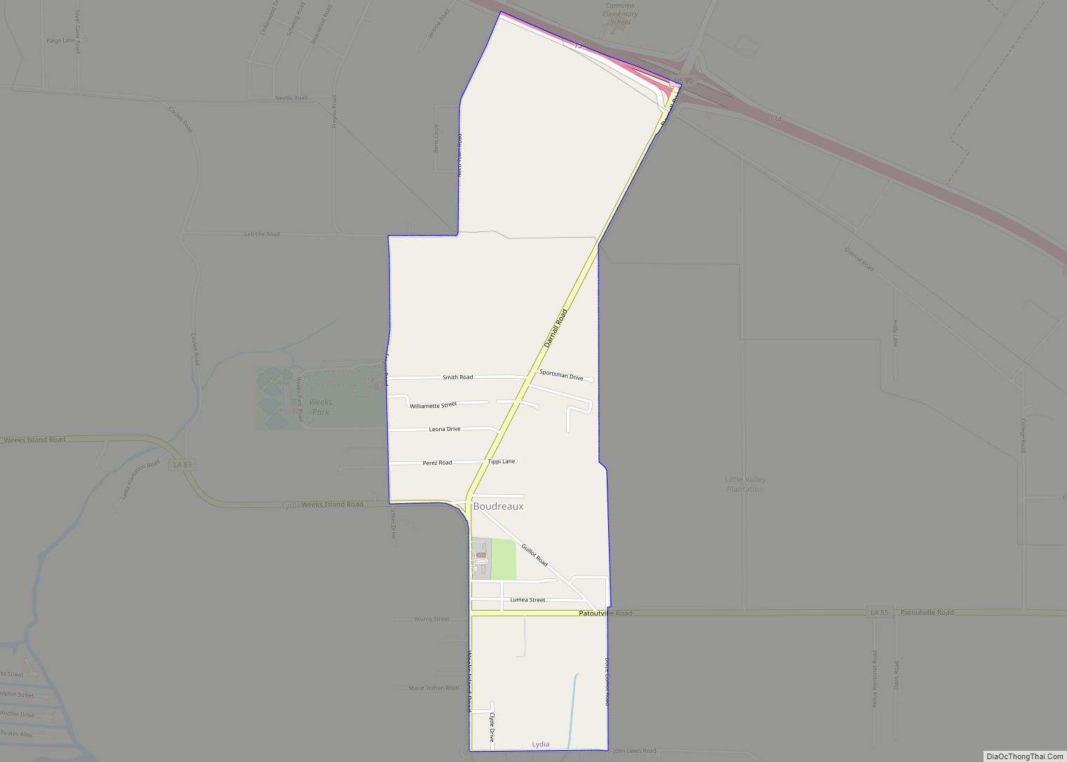
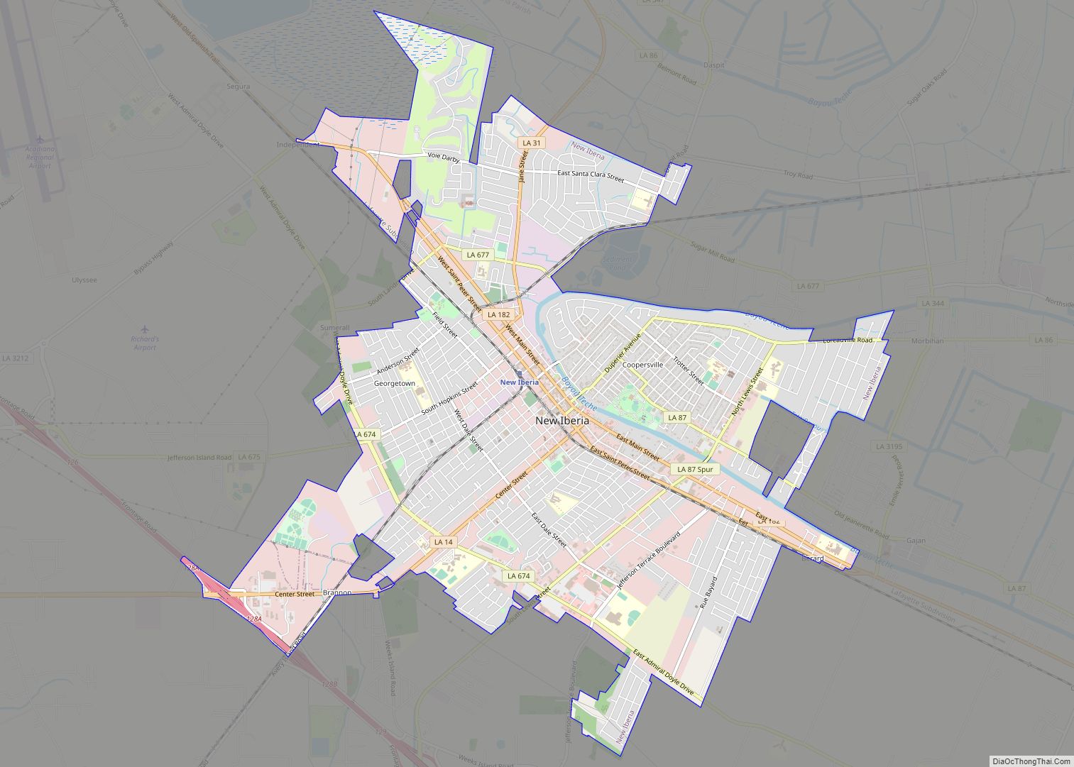
Iberia Parish (French: Paroisse de l’Ibérie, Spanish: Parroquia de Iberia) is a parish located in the U.S. state of Louisiana. At the 2020 census, it had a population of 69,929; the parish seat is New Iberia.
The parish was formed in 1868 during the Reconstruction era and named for the Iberian Peninsula. It is part of the 22-parish Acadiana region of the state, with a large Francophone population. Some of its ethnic French residents had ancestors who settled here after being expelled in the 18th century by the British from Acadia in present-day Canada. Historically, it has also been a center for sugar cane cultivation and produces the most sugar of any parish in the state.
Iberia Parish is part of the Lafayette metropolitan area. The Port of Iberia has a waterway with access to the Gulf Coast.
| Name: | Iberia Parish |
|---|---|
| FIPS code: | 22-045 |
| State: | Louisiana |
| Founded: | October 30, 1868 |
| Named for: | Iberian Peninsula |
| Seat: | New Iberia |
| Largest city: | New Iberia |
| Total Area: | 1,031 sq mi (2,670 km²) |
| Land Area: | 574 sq mi (1,490 km²) |
| Total Population: | 69,929 |
| Population Density: | 68/sq mi (26/km²) |
| Time zone: | UTC−6 (Central) |
| Summer Time Zone (DST): | UTC−5 (CDT) |
| Website: | iberiaparishgovernment.com |
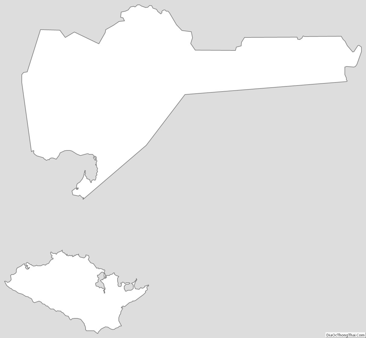
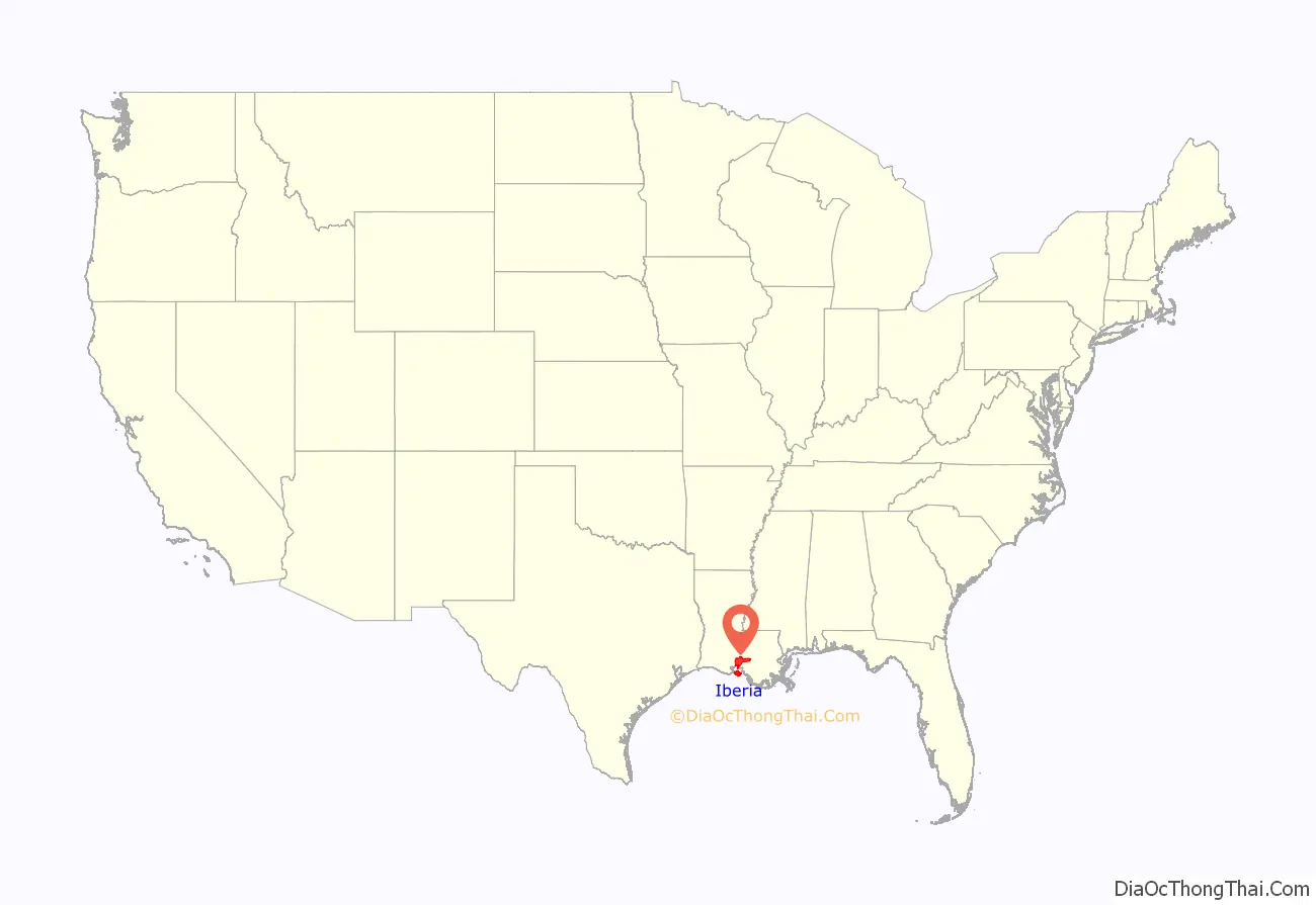
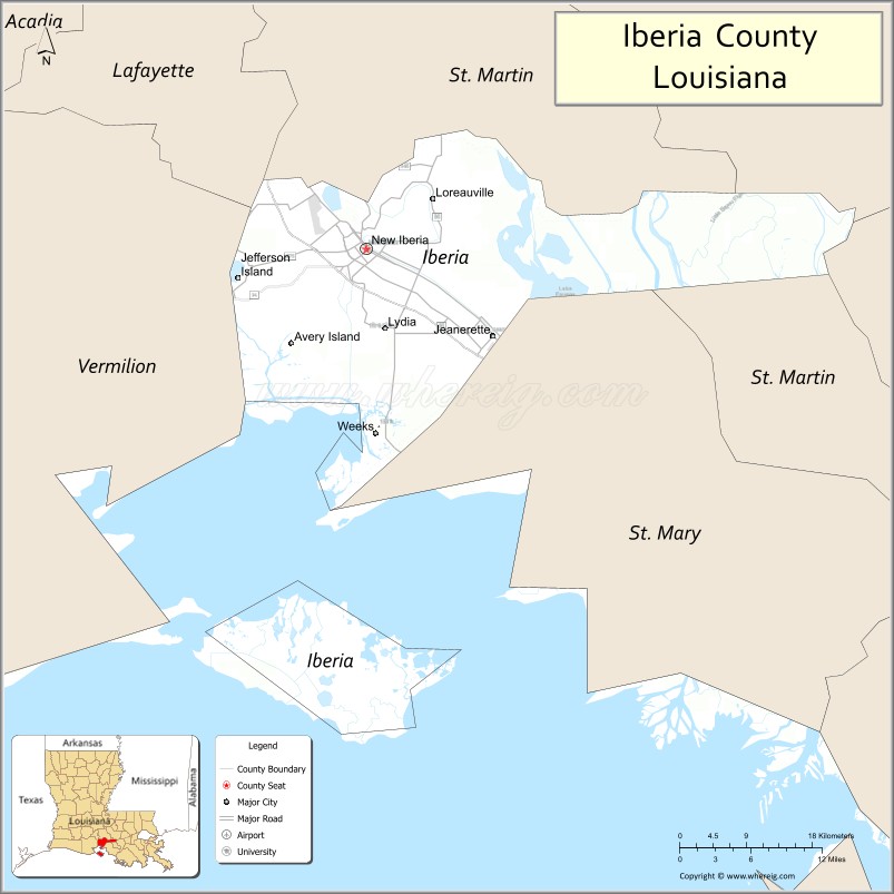
Iberia Parish location map. Where is Iberia Parish?
History
Iberia Parish was created from parts of St. Martin Parish and St. Mary Parish in 1868. It was part of an effort by the Reconstruction-era government to create parishes in which there would be large Republican-majority populations, composed primarily of freedmen in those years.
This territory was part of the sugar parishes, where sugar cane plantations were developed along the waterways before and after the Civil War, dependent on labor of high numbers of enslaved African Americans before the war. Sugar cane was a lucrative commodity crop for planters. Relations between whites and blacks were troubled after the Civil War, as whites sought to dominate freedmen, by violence and intimidation if necessary.
The period after the Reconstruction era was one of increasing violence, especially at the turn of the century and into the early 20th century. In this period, the highly populated Iberia Parish had 26 lynchings of blacks by the KKK, as part of racial terrorism. This was the fifth-highest total of any parish in Louisiana, and tied with the total number of lynchings in Bossier Parish.
There was intense political factionalism in Louisiana. Iberia Parish had factions split among conservatives and those who were more moderate about the status of negros. Moderates sometimes allied with the republican creoles and whites in the parish. But in 1884 white Democrats murdered more than 20 African Americans (most of the total noted above), in a kind of political lynching, and arrested white Republicans to regain power in Iberia Parish. In contrast to northern Louisiana, residents otherwise seemed to rely more on the formal legal system, with fewer mob lynchings. But negros suffered here, making up 88 percent of the persons legally executed for violent crimes in the late 19th century.
In the late 19th century, there was often a labor shortage on the sugar plantations. Planters recruited thousands of Italian immigrants as temporary laborers, many Sicilians who had first settled in New Orleans. They were needed during the fall harvest and processing season, which extended from October to January. The Italians became part of the volatility of social relations, struggling to make their way between planters and negros workers, and competing with other workers for jobs.
The parish economy changed markedly in the 20th century after the discovery of oil. The Port of Iberia was developed into an industrial center. New types of jobs became available for African Americans. Iberia produces the most sugar of any parish in the state.
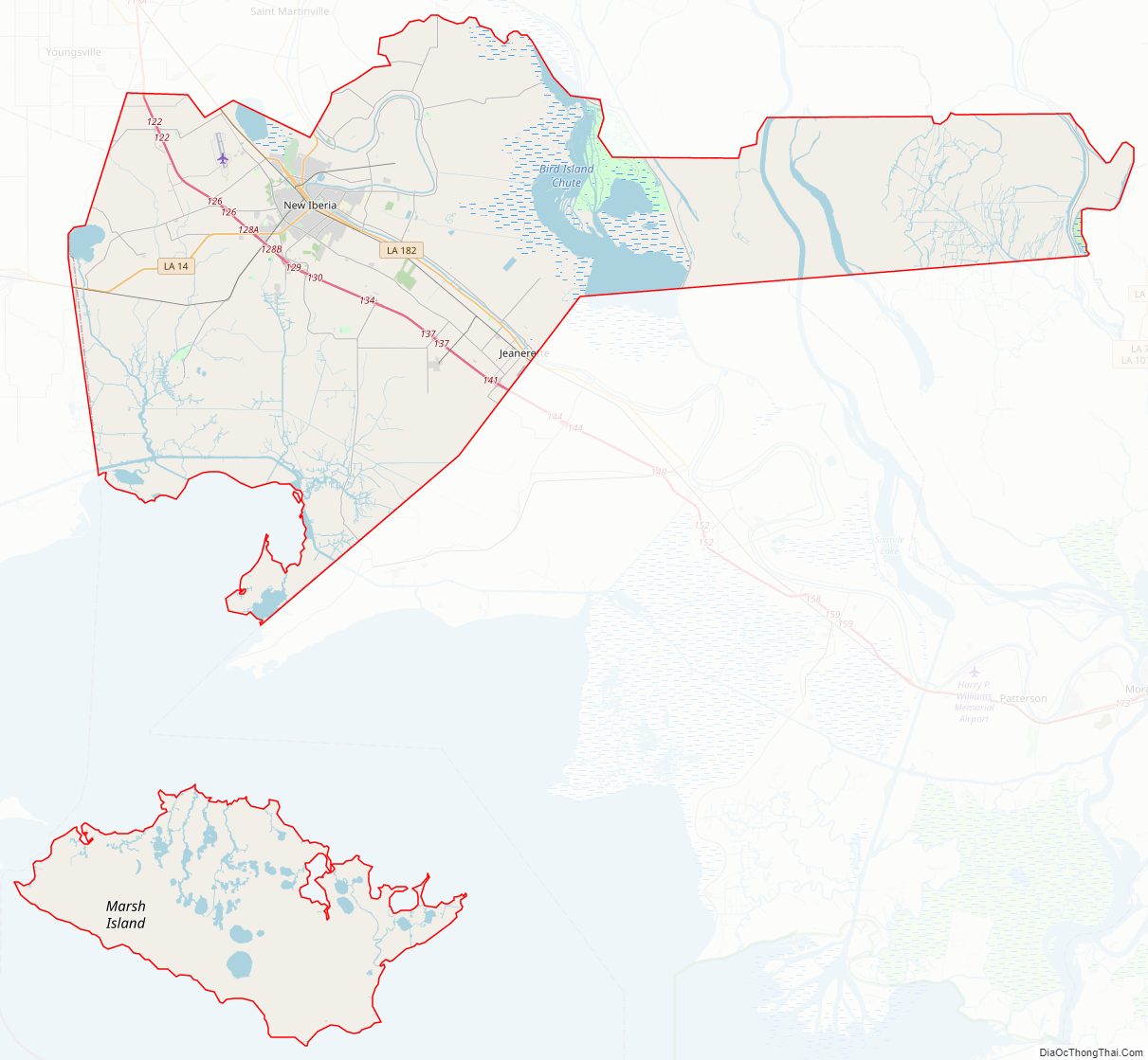
Iberia Parish Road Map
Geography
According to the U.S. Census Bureau, the parish has a total area of 1,031 square miles (2,670 km), of which 574 square miles (1,490 km) is land and 456 square miles (1,180 km) (44%) is water. This includes Marsh Island.
Major highways
- Future Interstate 49
- U.S. Highway 90
- Louisiana Highway 14
- Louisiana Highway 31
- Louisiana Highway 83
- Louisiana Highway 85
- Louisiana Highway 86
- Louisiana Highway 87
- Louisiana Highway 182
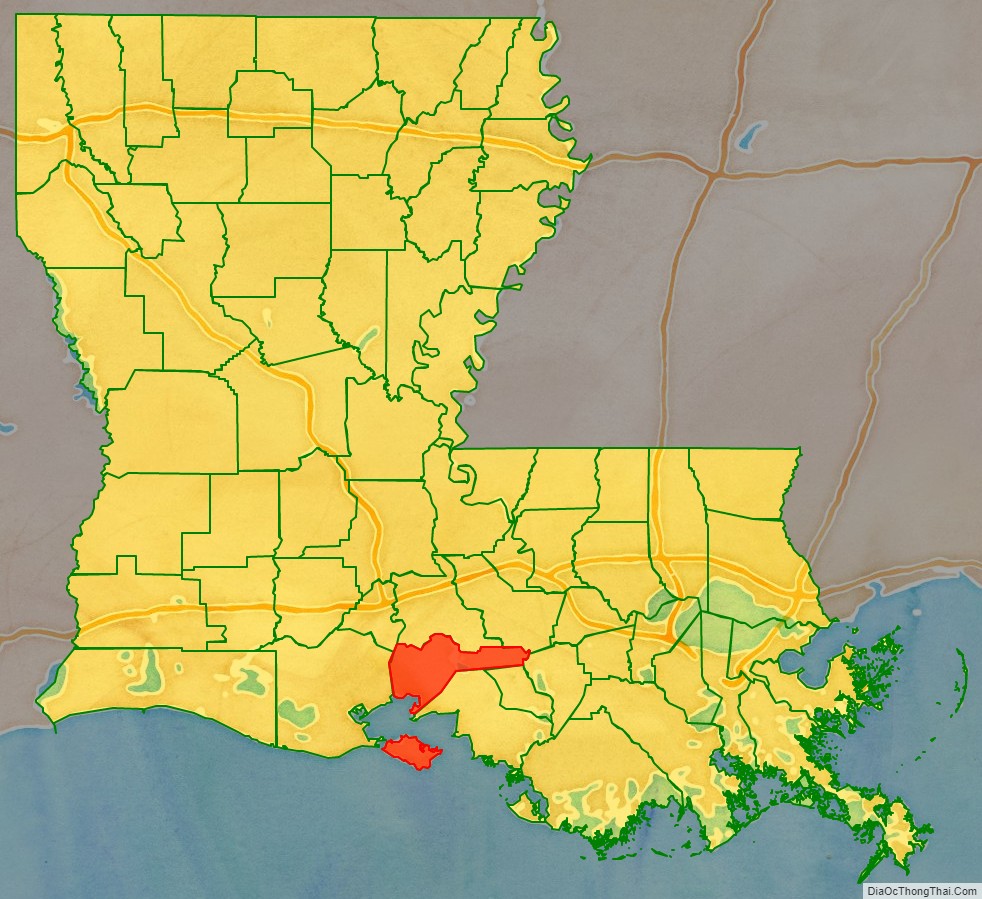
Adjacent parishes
- St. Martin Parish (north, south)
- Iberville Parish (northeast)
- Assumption Parish (east)
- St. Mary Parish (southeast)
- Vermilion Parish (west)
- Lafayette Parish (northwest)
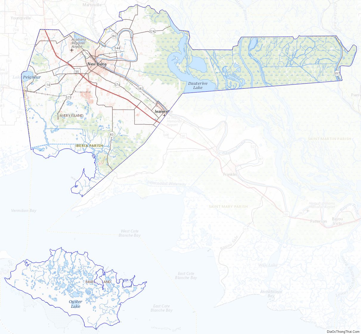
Iberia Parish Topographic Map
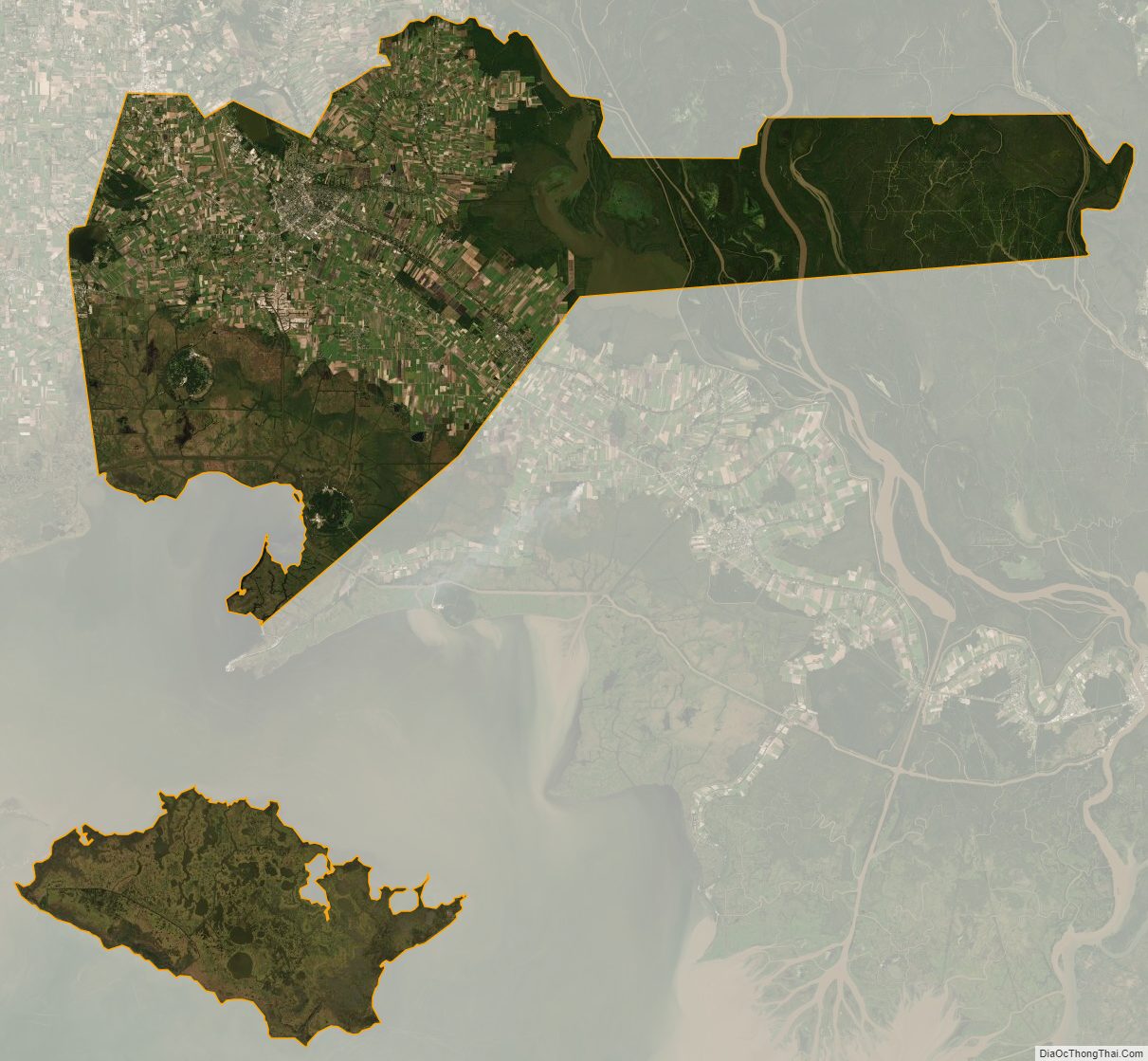
Iberia Parish Satellite Map
Iberia Parish Outline Map