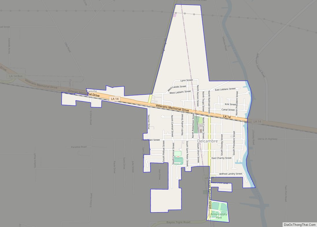
Delcambre is a town in Iberia and Vermilion parishes in the U.S. state of Louisiana, located 9 miles (14 km) east of Abbeville on Louisiana Highway 14 in the Cajun Heartland of Acadiana. Bayou Carlin, also known as the Delcambre Canal, passes through the town and is home for much of the local fishing industry. The population was 1,866 at the 2010 census, down from 2,168 at the 2000 census.
Delcambre is part of the Lafayette, Louisiana metropolitan statistical area.
| Name: | Delcambre town |
|---|---|
| LSAD Code: | 43 |
| LSAD Description: | town (suffix) |
| State: | Louisiana |
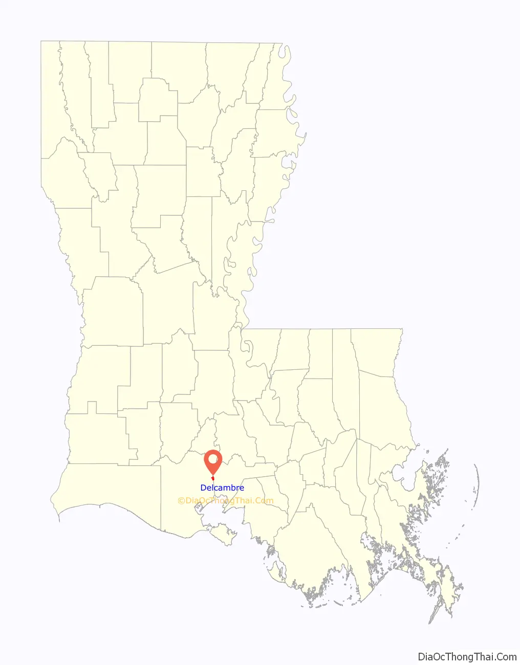
| County: | Iberia Parish, Vermilion Parish |
| Elevation: | 7 ft (2 m) |
| Total Area: | 1.17 sq mi (3.03 km²) |
| Land Area: | 1.17 sq mi (3.03 km²) |
| Water Area: | 0.00 sq mi (0.00 km²) |
| Total Population: | 1,793 |
| Population Density: | 1,532.48/sq mi (591.94/km²) |
| Area code: | 337 |
| FIPS code: | 2220155 |
| Website: | www.townofdelcambre.net |
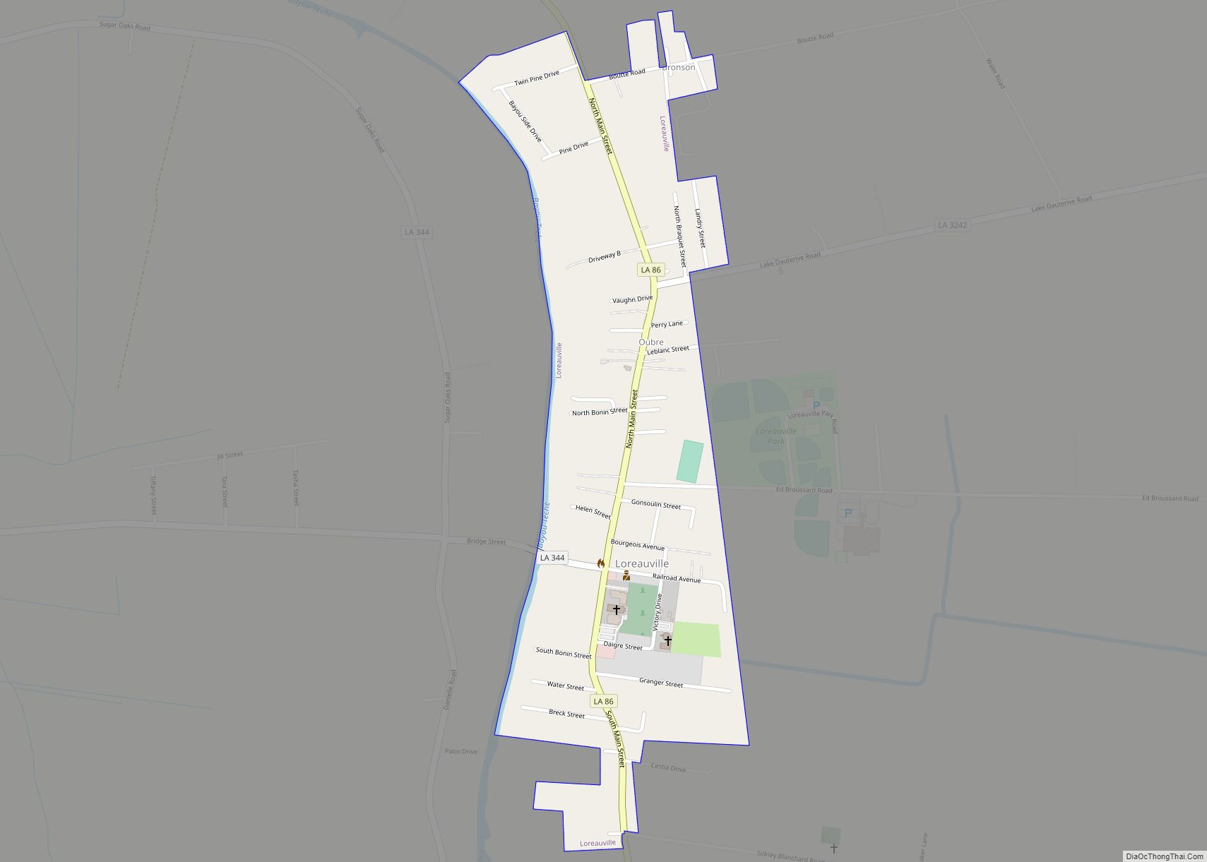
Online Interactive Map
Click on ![]() to view map in "full screen" mode.
to view map in "full screen" mode.
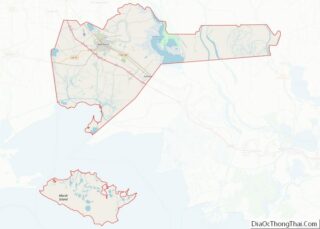
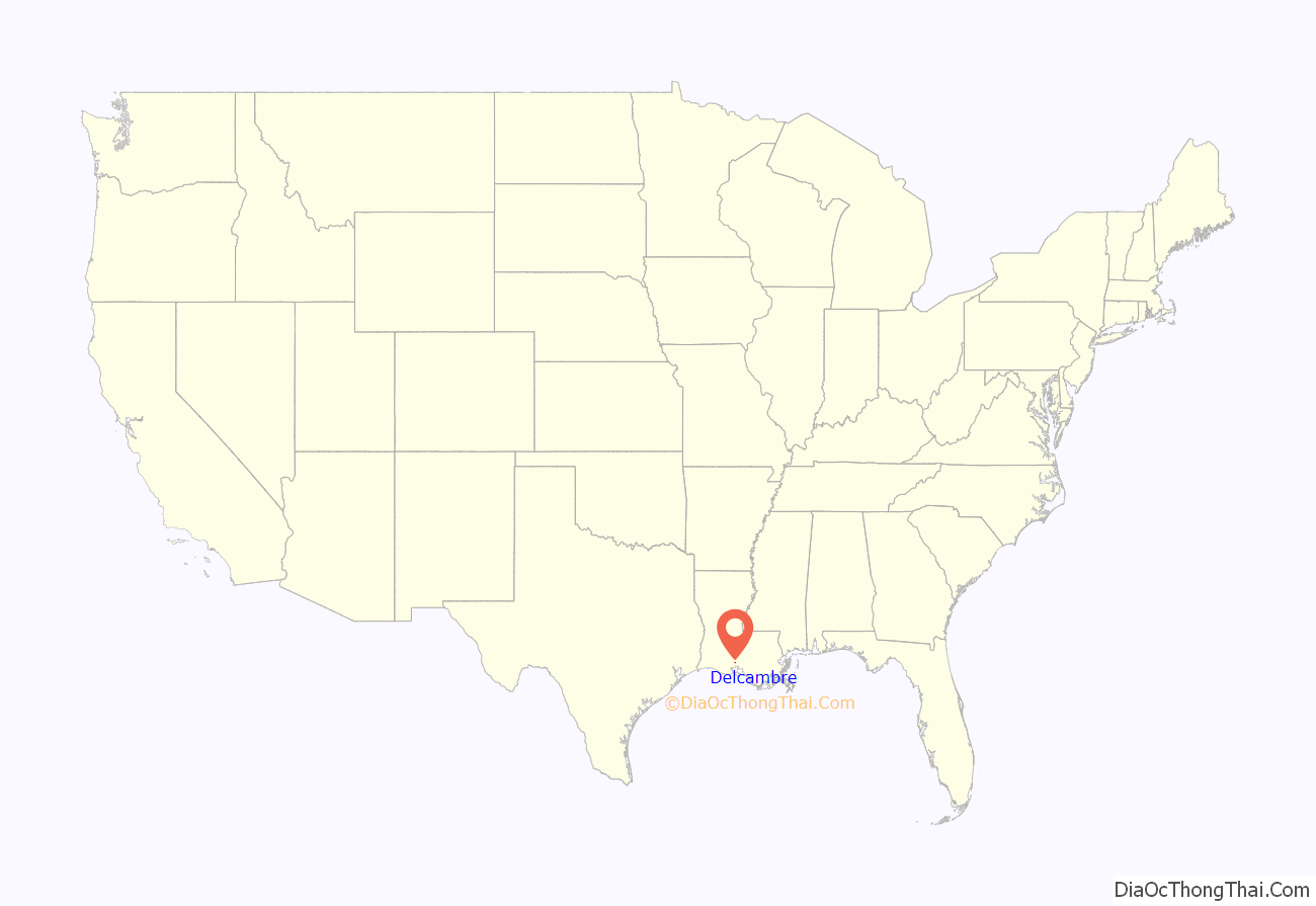
Delcambre location map. Where is Delcambre town?
History
When the King of Spain made Louisiana a gift to his brother-in-law, the King of France, settlers of French heritage began to occupy the area. Brothers Charles and Louis Delcambre came from Belgium to settle in the area between the two towns now known as Delcambre and New Iberia. Louis’ son, Poufette Delcambre, settled further to the west in what is now known as Pouffette Station. Pouffette’s son, Desire Delcambre, was the founder of the town of Delcambre. The first post office was opened on May 17, 1877, and the town was incorporated on November 27, 1907.
In 2005, much of the town was flooded by the storm surge forced inland by Hurricane Rita. Water in many parts of town was up to 6 feet (1.8 m) deep. The mayor of Delcambre was quoted as saying that only 25 of 900 homes in the town were not flooded.
The Delcambre town council and Mayor Carrol Brousard passed an ordinance in June 2007 making sagging illegal, expanding an existing state indecent exposure law to add underwear to the list of what cannot be exposed.
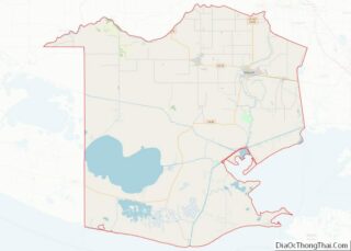
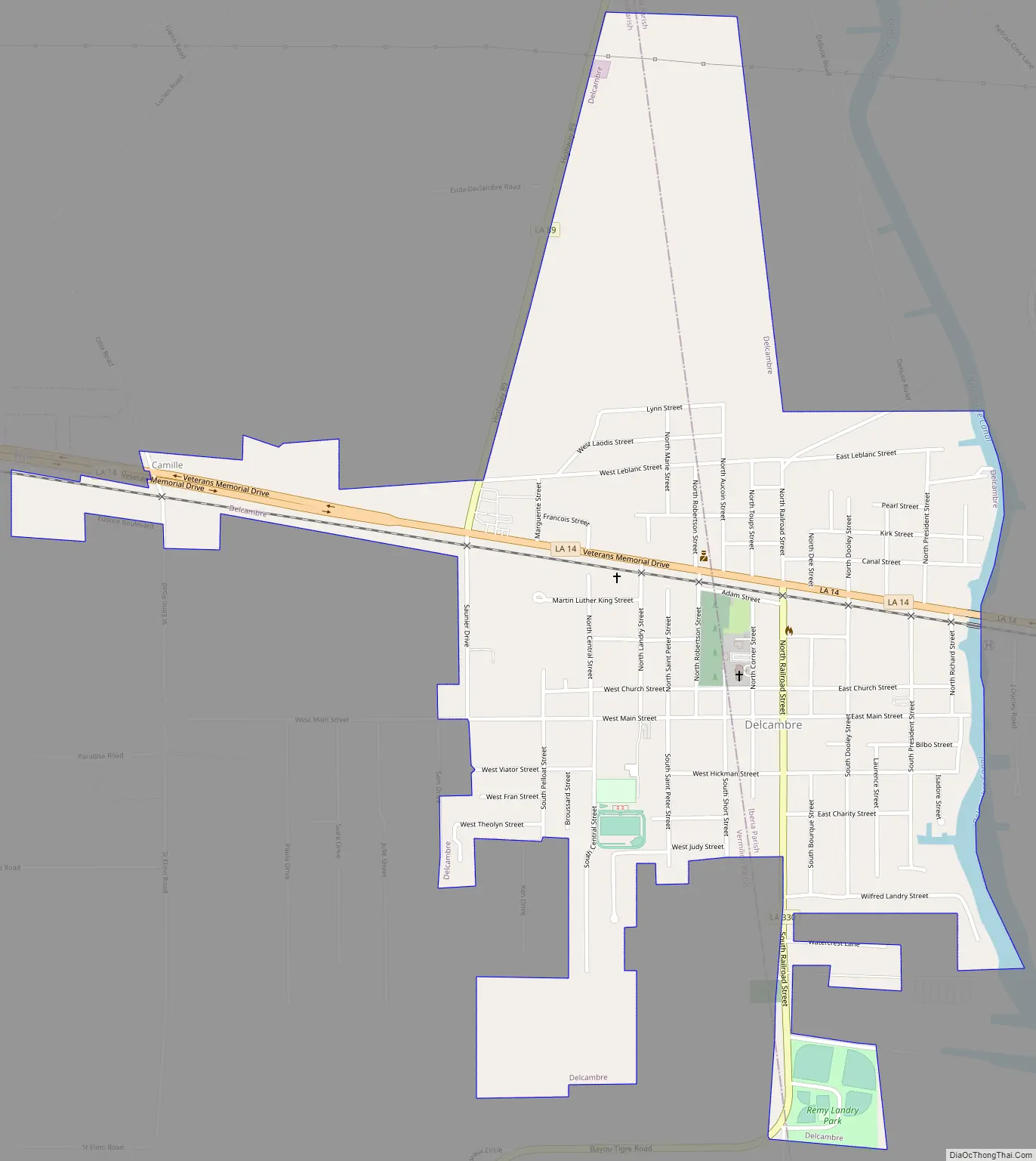
Delcambre Road Map
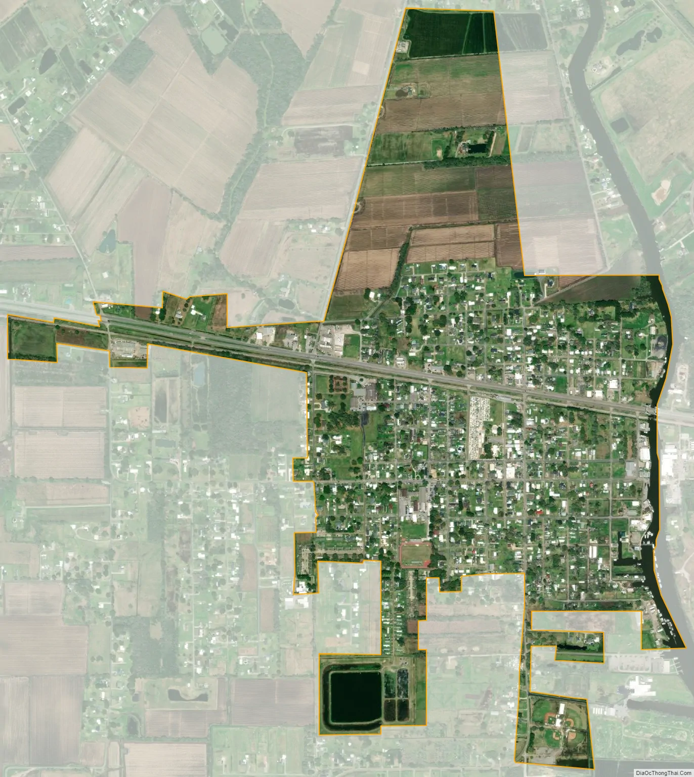
Delcambre city Satellite Map
Geography
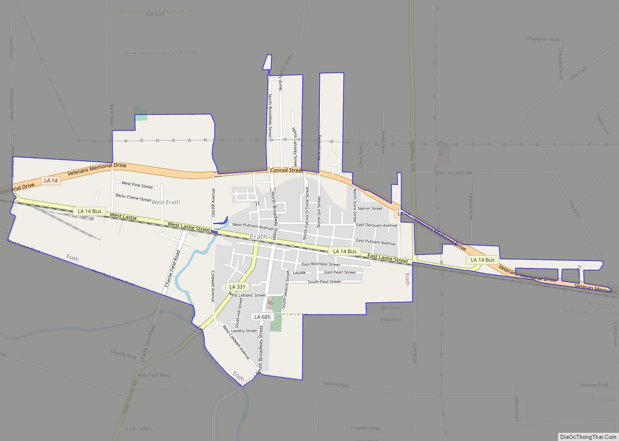
Delcambre is located on the border of Vermilion and Iberia parishes at 29°57′1″N 91°59′20″W / 29.95028°N 91.98889°W / 29.95028; -91.98889 (29.950207, −91.988815). Louisiana Highway 14 passes through the north side of the town, leading east 12 miles (19 km) to New Iberia and west 9 miles (14 km) to Abbeville. Erath is 3 miles (5 km) west on Highway 14. Lake Peigneur, at the head of the Delcambre Canal, is 1 mile (1.6 km) to the north.
According to the United States Census Bureau, the town has a total area of 1.2 square miles (3.0 km), all of it recorded as land.
See also
Map of Louisiana State and its subdivision:- Acadia
- Allen
- Ascension
- Assumption
- Avoyelles
- Beauregard
- Bienville
- Bossier
- Caddo
- Calcasieu
- Caldwell
- Cameron
- Catahoula
- Claiborne
- Concordia
- De Soto
- East Baton Rouge
- East Carroll
- East Feliciana
- Evangeline
- Franklin
- Grant
- Iberia
- Iberville
- Jackson
- Jefferson
- Jefferson Davis
- La Salle
- Lafayette
- Lafourche
- Lincoln
- Livingston
- Madison
- Morehouse
- Natchitoches
- Orleans
- Ouachita
- Plaquemines
- Pointe Coupee
- Rapides
- Red River
- Richland
- Sabine
- Saint Bernard
- Saint Charles
- Saint Helena
- Saint James
- Saint John the Baptist
- Saint Landry
- Saint Martin
- Saint Mary
- Saint Tammany
- Tangipahoa
- Tensas
- Terrebonne
- Union
- Vermilion
- Vernon
- Washington
- Webster
- West Baton Rouge
- West Carroll
- West Feliciana
- Winn
- Alabama
- Alaska
- Arizona
- Arkansas
- California
- Colorado
- Connecticut
- Delaware
- District of Columbia
- Florida
- Georgia
- Hawaii
- Idaho
- Illinois
- Indiana
- Iowa
- Kansas
- Kentucky
- Louisiana
- Maine
- Maryland
- Massachusetts
- Michigan
- Minnesota
- Mississippi
- Missouri
- Montana
- Nebraska
- Nevada
- New Hampshire
- New Jersey
- New Mexico
- New York
- North Carolina
- North Dakota
- Ohio
- Oklahoma
- Oregon
- Pennsylvania
- Rhode Island
- South Carolina
- South Dakota
- Tennessee
- Texas
- Utah
- Vermont
- Virginia
- Washington
- West Virginia
- Wisconsin
- Wyoming