St. Martin Parish (French: Paroisse de Saint-Martin) is a parish located in the U.S. state of Louisiana, founded in 1811. Its parish seat is St. Martinville, and the largest city is Breaux Bridge. At the 2020 census, the population was 51,767. St. Martin Parish is part of the Lafayette metropolitan area in the region of Acadiana, along the Gulf Coast.
| Name: | St. Martin Parish |
|---|---|
| FIPS code: | 22-099 |
| State: | Louisiana |
| Founded: | 1811 |
| Named for: | St. Martin |
| Seat: | St. Martinville |
| Largest city: | Breaux Bridge |
| Total Area: | 816 sq mi (2,110 km²) |
| Land Area: | 738 sq mi (1,910 km²) |
| Total Population: | 51,767 |
| Population Density: | 63/sq mi (24/km²) |
| Time zone: | UTC−6 (Central) |
| Summer Time Zone (DST): | UTC−5 (CDT) |
| Website: | www.stmartinparish.net |
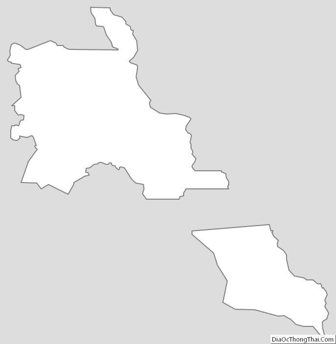
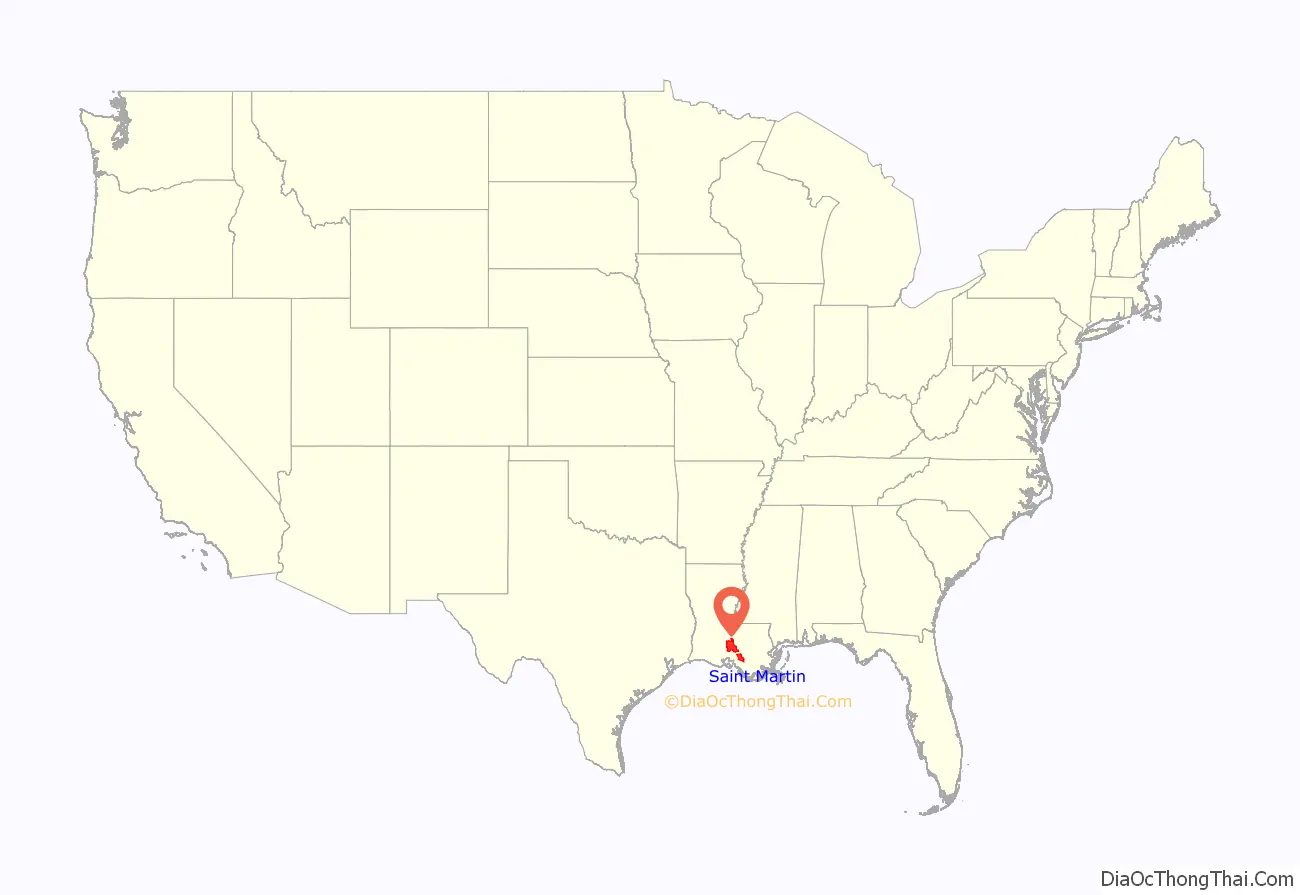
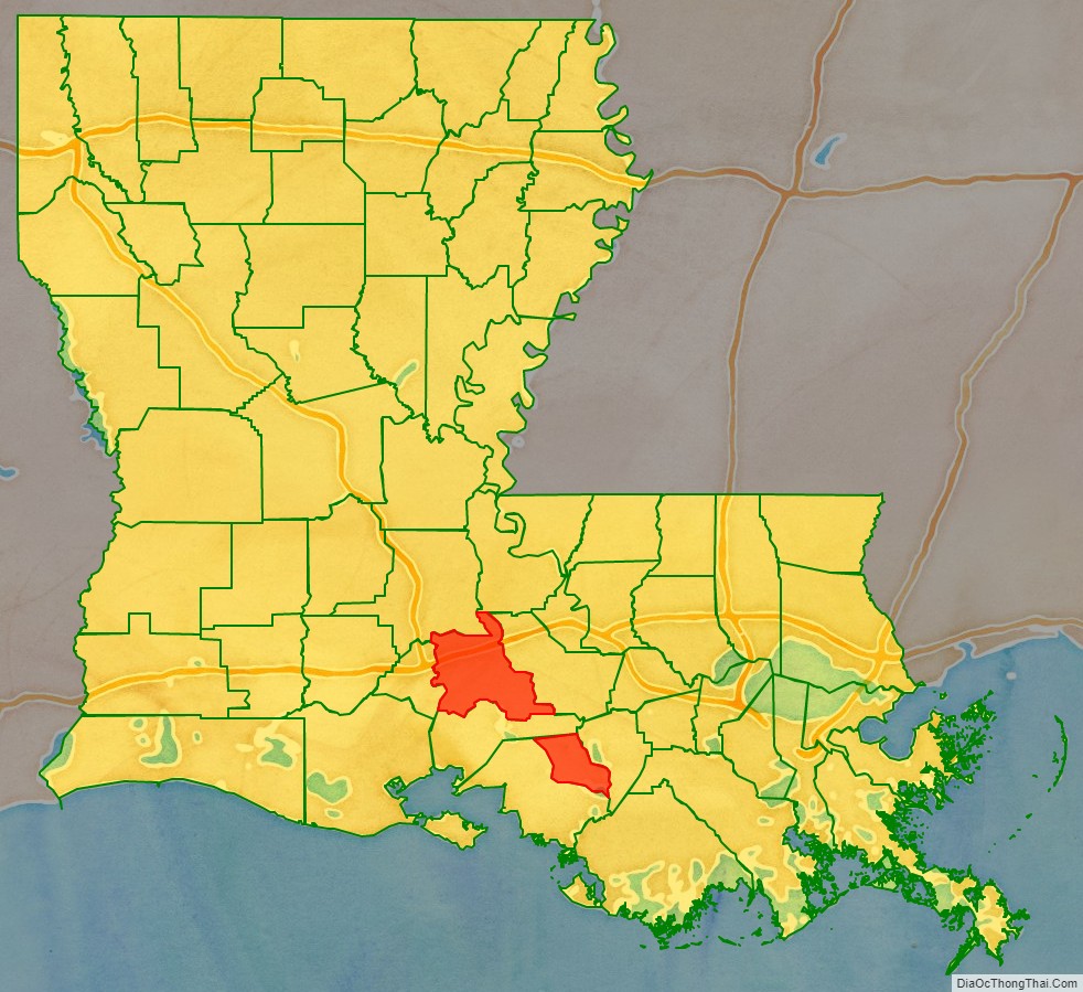
St. Martin Parish location map. Where is St. Martin Parish?
History
In 1811, parts of Attakapas Parish were taken out to create St. Martin and St. Mary parishes. In 1824, St. Martin Parish was divided, resulting in the creation also of Lafayette Parish. In 1844, St. Martin Parish was again divided, yielding Vermilion Parish. In 1868, Iberia Parish was formed from parts of St. Martin Parish and St. Mary Parish. St. Martin Parish was divided into two, as part of Iberia Parish runs between the two non-contiguous parts of St. Martin Parish.
St. Martin Parish was largely colonized in the 1700s by people from France and Acadia, resulting in a large concentration of French-speaking population today. The Acadians brought the tale of Evangeline, a young woman said to have been separated from her mortally wounded betrothed during their expulsion by the British from their territory in eastern Canada. According to the tale, Evangeline later met her betrothed again in St. Martin Parish, but he had already committed to a new love. Evangeline never recovered from the shock of both finding and losing him again. Poet Henry Wadsworth Longfellow’s work, Evangeline, A Tale of Acadie, was based on this story.
Evangeline was and remains an icon of Acadian and American culture. The historical Evangeline, who is believed by some to have been an orphan girl named Emmeline Labiche, was purportedly buried on the grounds of St. Martin de Tours Catholic Church in St. Martinville.
St. Martin was a very prosperous parish, growing rapidly in the early 1800s. Most of the revenue at that time was being made by raising cattle. Other profitable crops were cotton, sugar, corn, rice and tobacco. These were sold to the New Orleans market. Wealthy planters used enslaved African Americans as labor on their plantations, and by 1860, there were over 7,000 slaves in the parish; there were also a large number of Anglo-American slaves brought to the parish.
A yellow fever epidemic in 1855, followed by a deadly fire and a destructive hurricane, ended an era of unbridled prosperity for elite whites. These events, combined with the effects of the American Civil War and Reconstruction took a heavy toll on the parish.
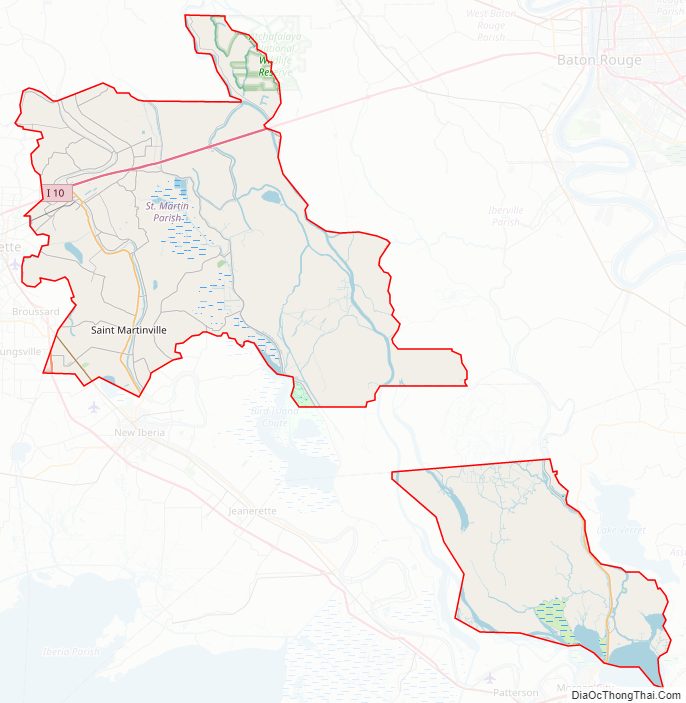
St. Martin Parish Road Map
Geography
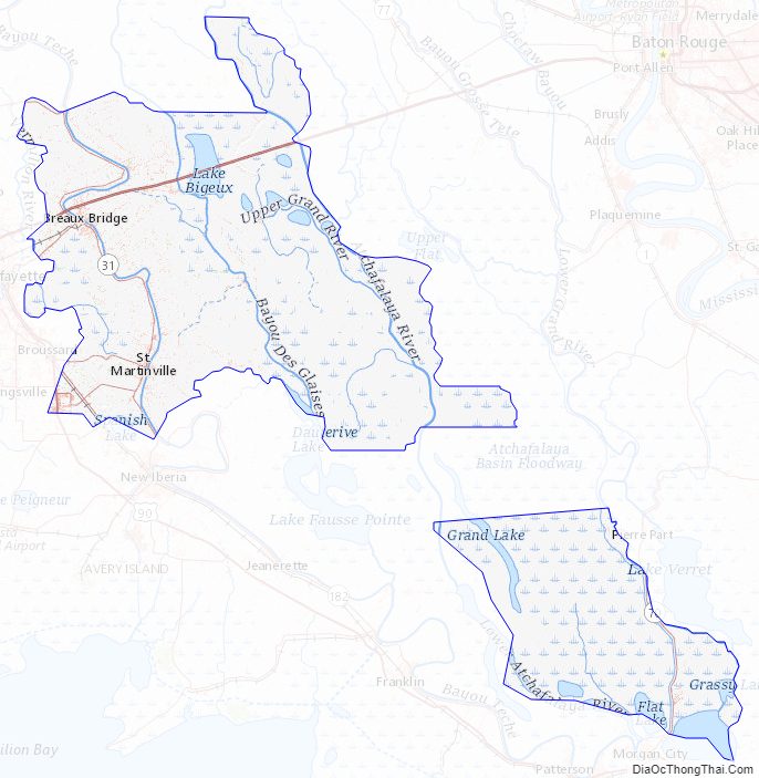
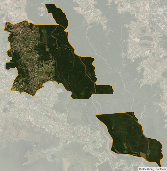
The parish of St. Martin is split into two non-contiguous parts because of a surveying error dating to 1868, when Iberia Parish was created by the Louisiana Legislature. Iberia Parish divides St. Martin Parish into two separate areas, Upper and Lower St. Martin. According to the U.S. Census Bureau, the parish has a total area of 816 square miles (2,110 km), of which 738 square miles (1,910 km) is land and 79 square miles (200 km) (9.7%) is water. St. Martin Parish is in the Atchafalaya Basin, with Bayou Teche running through it. The bayou was used to ship products to New Orleans.
St. Martin Parish has a wealth of oak and magnolia trees.
Adjacent parishes
- Lafayette Parish (west)
- St. Landry Parish (north)
- Pointe Coupee Parish (northeast)
- Iberville Parish (east)
- Iberia Parish (south)
- Iberia Parish (north)
- Assumption Parish (southeast)
- St. Mary Parish (south)
Protected areas
The parish has both national and state protected areas within its borders.
- Atchafalaya National Wildlife Refuge (part)
Part of the Attakapas Wildlife Management Area is located within St. Martin Parish as well as in St. Mary and Iberia parishes.
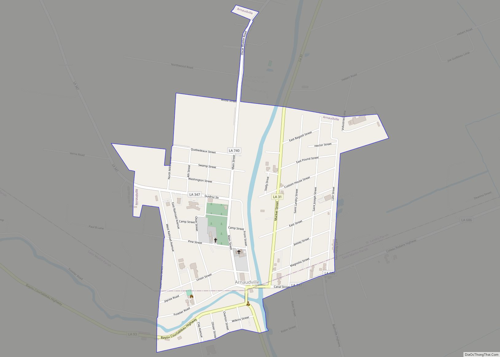
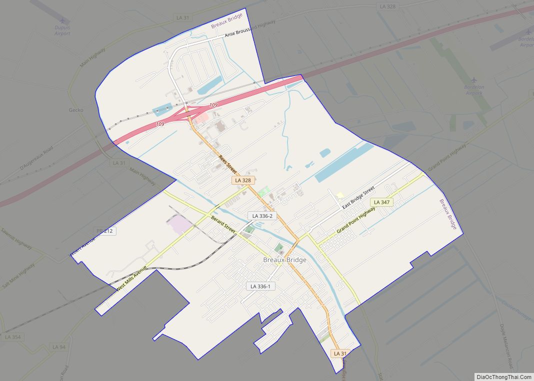
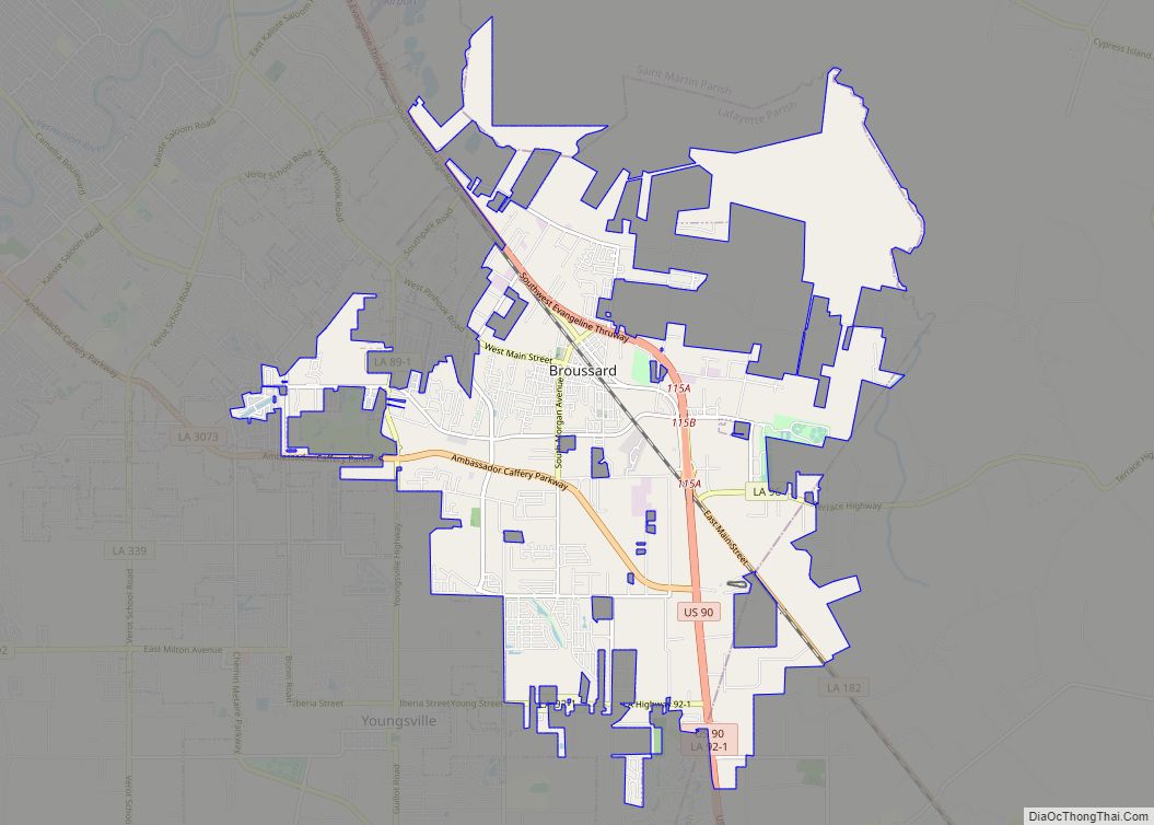
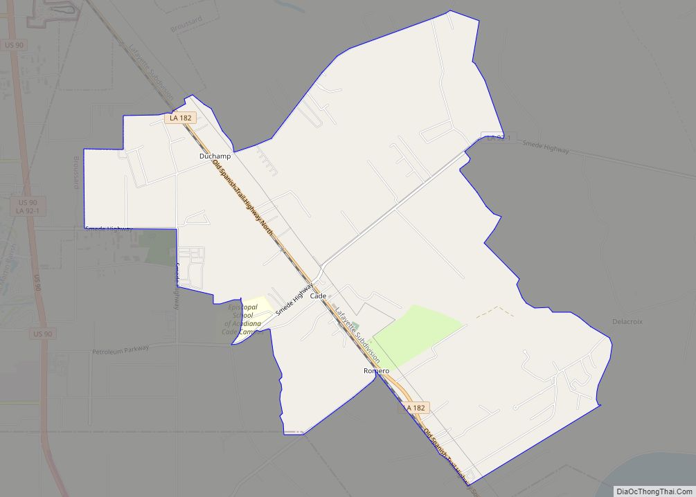
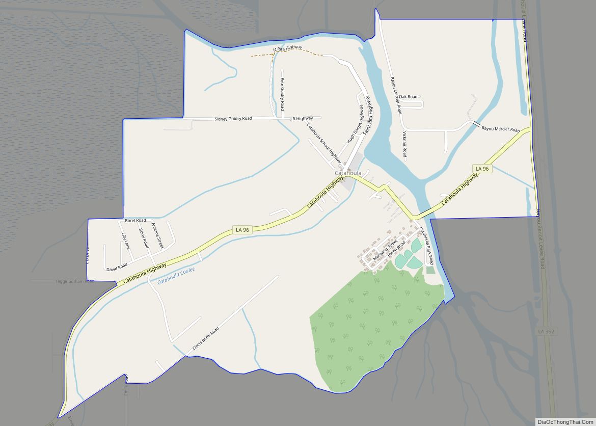
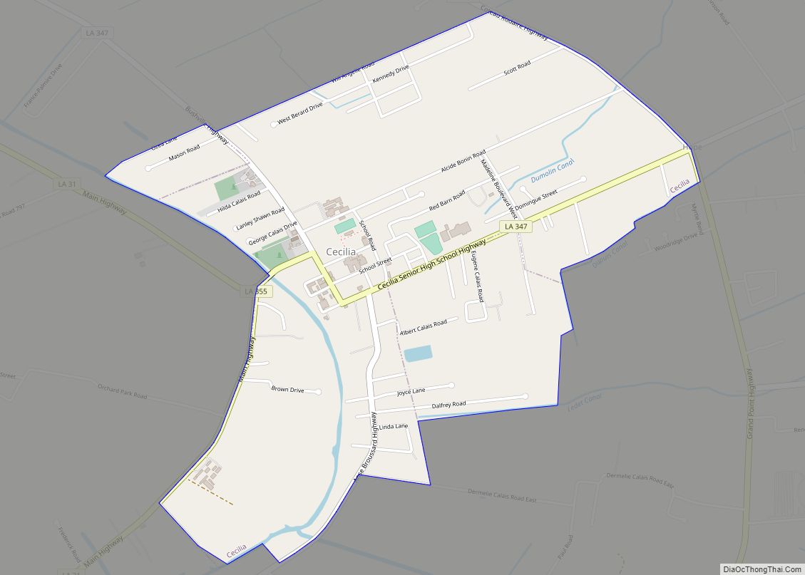
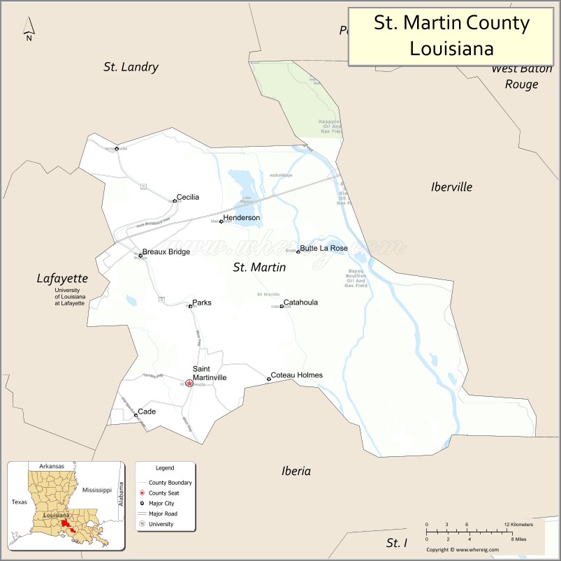
Communities
- Breaux Bridge (largest municipality)
- Broussard (partial)
- St. Martinville (parish seat)
- Butte La Rose
- Coteau Holmes
- Gecko
- Nina Station
- Ruth
St. Martin Parish Topographic Map
St. Martin Parish Satellite Map
St. Martin Parish Outline Map