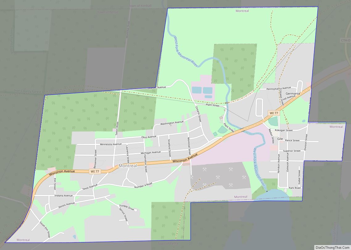
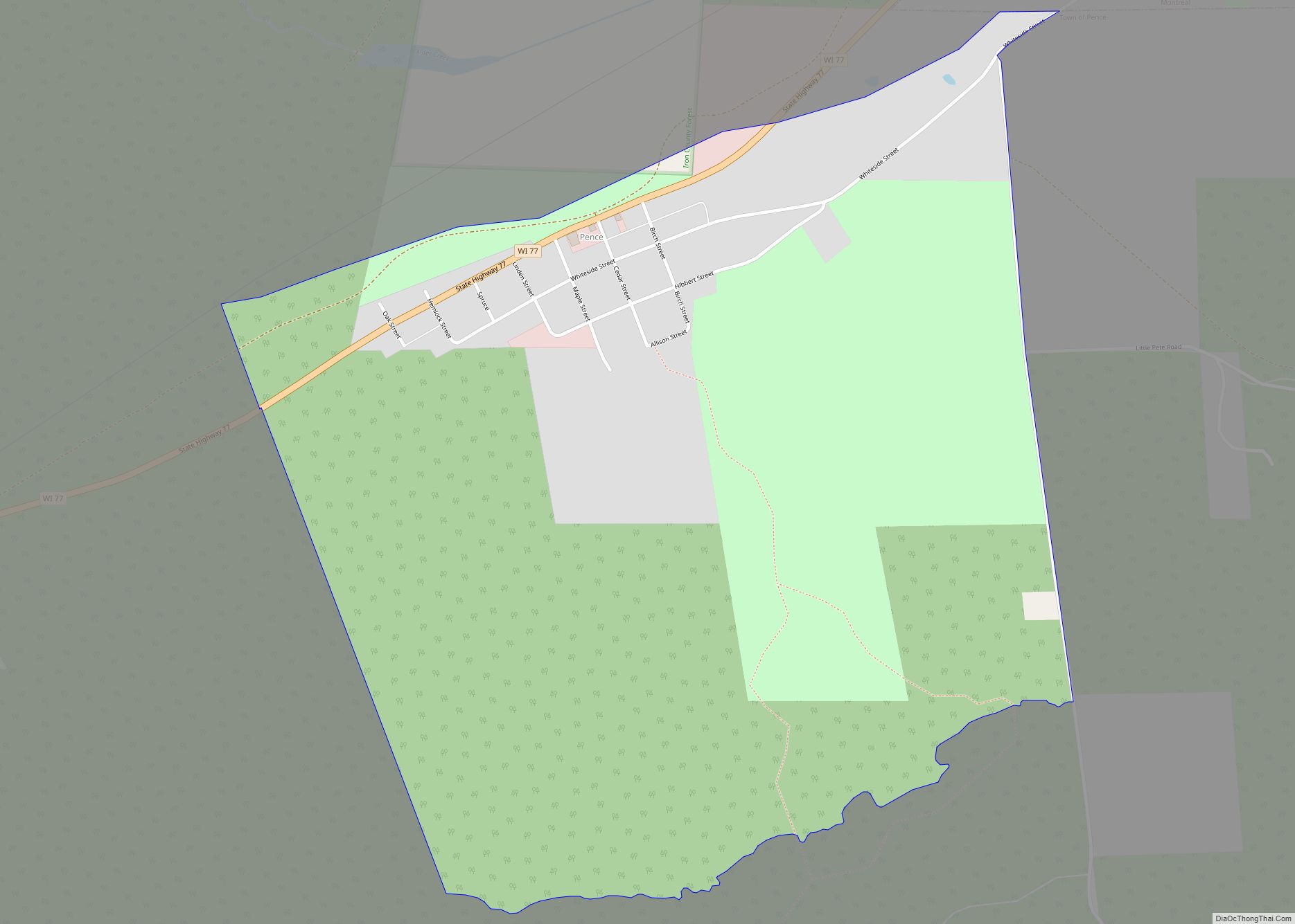
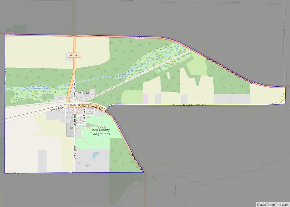
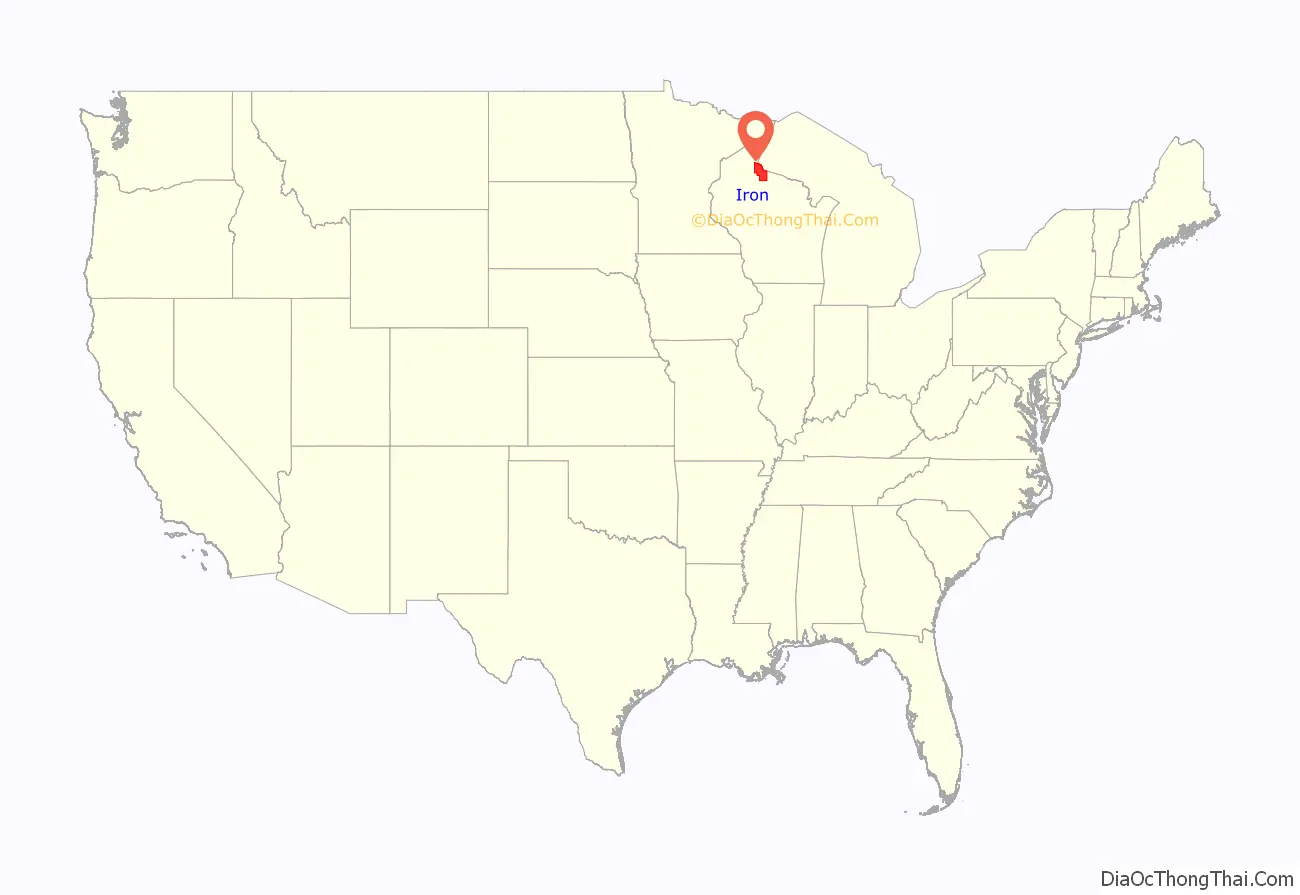
Iron County is a county located in the U.S. state of Wisconsin. As of the 2020 census, the population was 6,137, making it the third-least populous county in Wisconsin. Its county seat is Hurley. It was named for the valuable iron ore found within its borders. The county overlaps with small parts of the Bad River and Lac du Flambeau Indian reservations.
| Name: | Iron County |
|---|---|
| FIPS code: | 55-051 |
| State: | Wisconsin |
| Founded: | 1893 |
| Named for: | Iron ore |
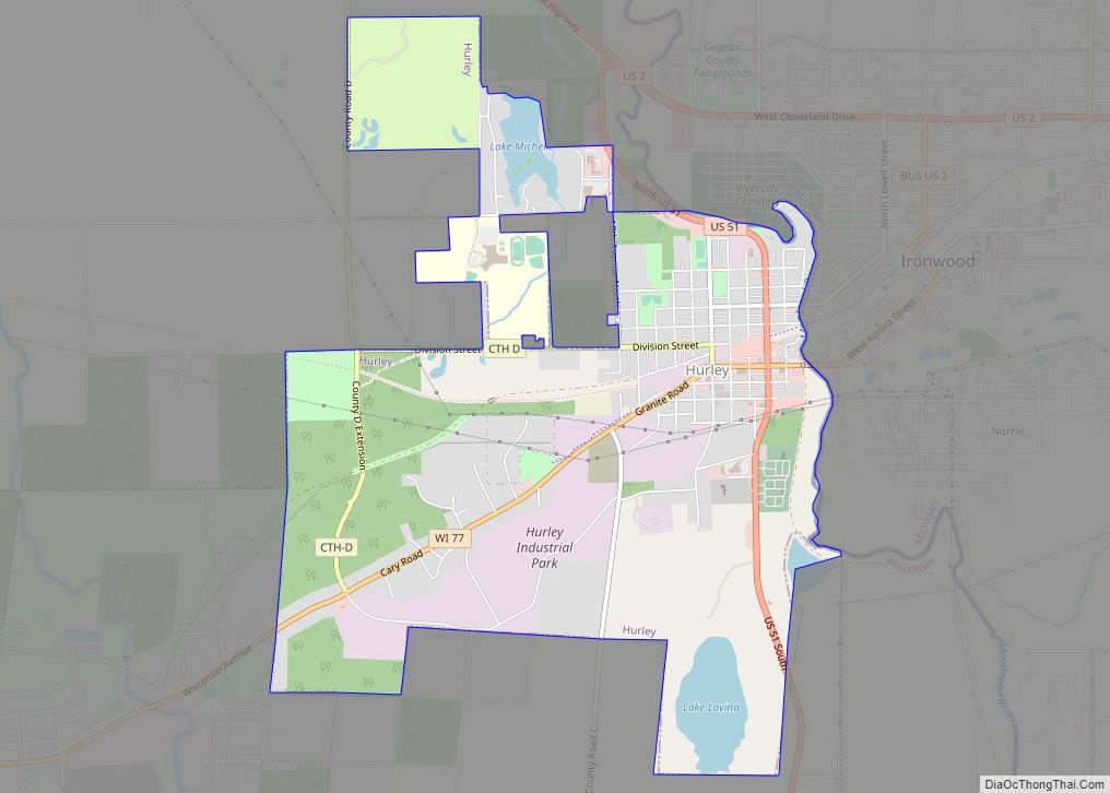
| Seat: | Hurley |
| Largest city: | Hurley |
| Total Area: | 919 sq mi (2,380 km²) |
| Land Area: | 758 sq mi (1,960 km²) |
| Total Population: | 6,137 |
| Population Density: | 8.1/sq mi (3.1/km²) |
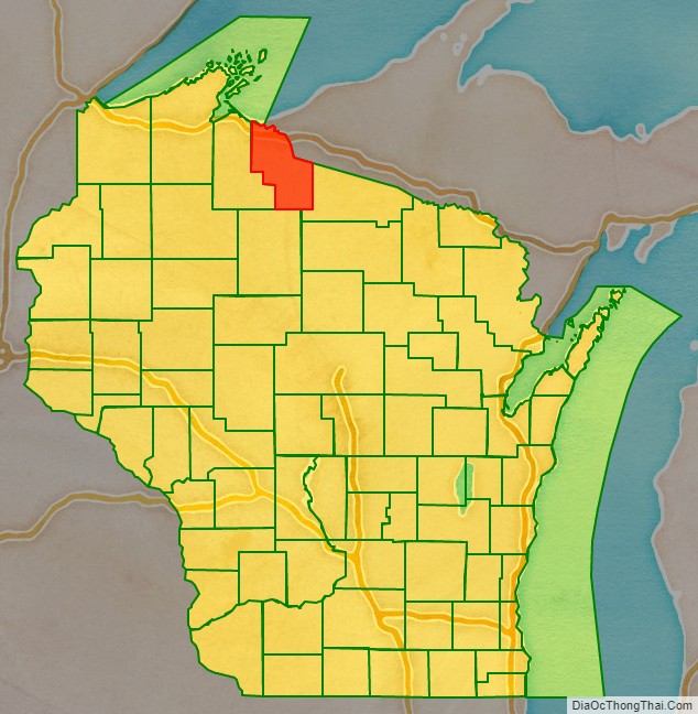
Iron County location map. Where is Iron County?
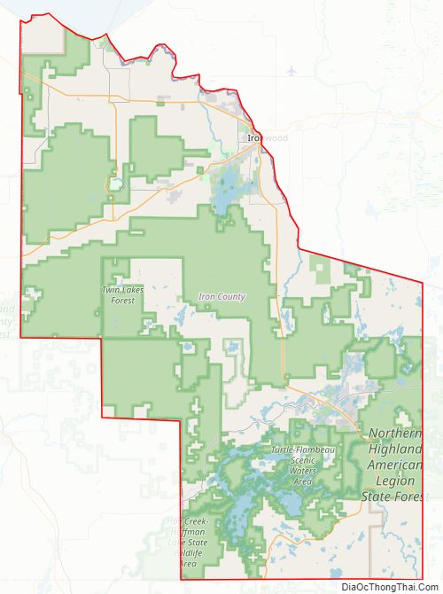
Iron County Road Map
Geography
According to the U.S. Census Bureau, the county has a total area of 919 square miles (2,380 km), of which 758 square miles (1,960 km) is land and 161 square miles (420 km) (18%) is water.
Adjacent counties
- Vilas County – east, southeast
- Price County – southwest
- Ashland County – west
- Gogebic County, Michigan – northeast
Major highways
County Highways
- CTH-A
- CTH-B
- CTH-C
- CTH-CC
- CTH-D
- CTH-FF
- CTH-G
- CTH-H
- CTH-J
Railroads
- Watco
Buses
- List of intercity bus stops in Wisconsin
Airport
- KIWD – Gogebic-Iron County Airport – Commercial air service is available.
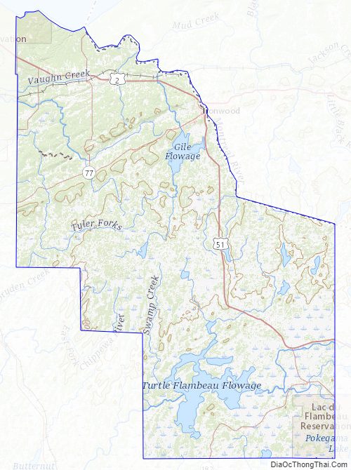
Iron County Topographic Map
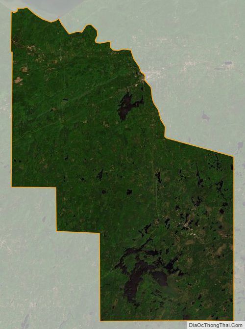
Iron County Satellite Map
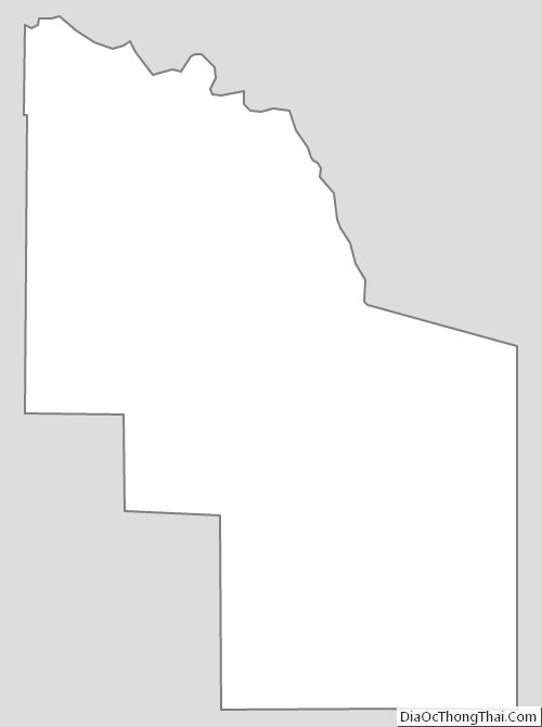
Iron County Outline Map