Vilas County (/vaɪləs/ VYE-ləss) is a county in the state of Wisconsin, United States. As of the 2020 census, the population was 23,047. Its county seat is Eagle River. The county partly overlaps the reservation of the Lac du Flambeau Band of Lake Superior Chippewa.
| Name: | Vilas County |
|---|---|
| FIPS code: | 55-125 |
| State: | Wisconsin |
| Founded: | April 12, 1893 |
| Named for: | William Freeman Vilas |
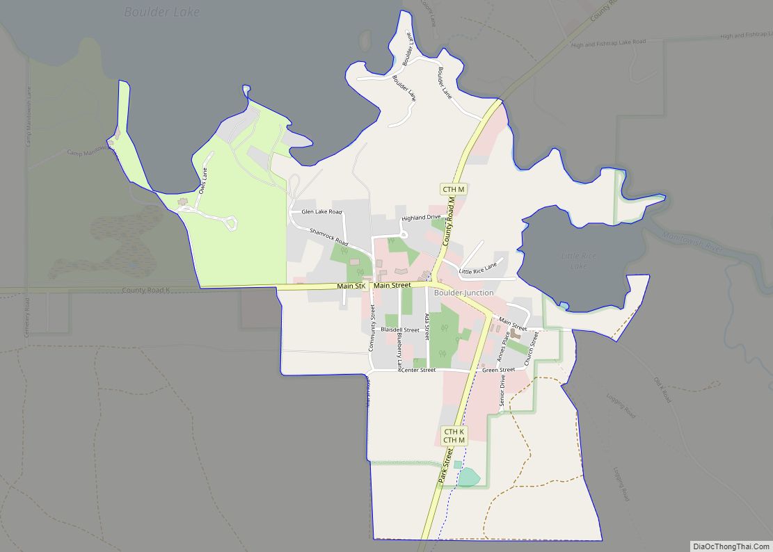
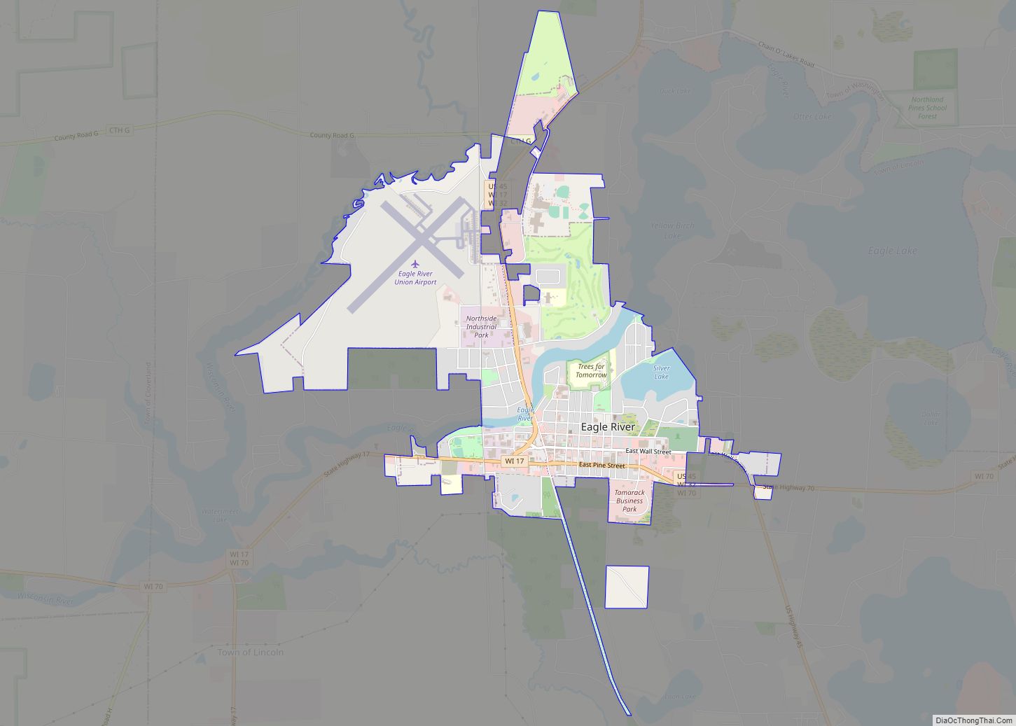
| Seat: | Eagle River |
| Largest city: | Eagle River |
| Total Area: | 1,018 sq mi (2,640 km²) |
| Land Area: | 857 sq mi (2,220 km²) |
| Total Population: | 23,047 |
| Population Density: | 26.9/sq mi (10.4/km²) |
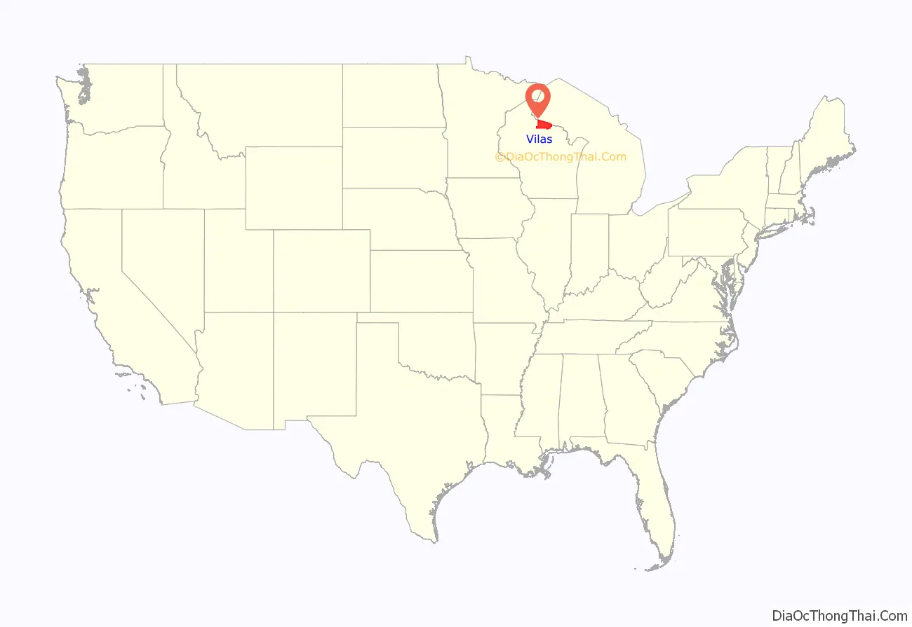
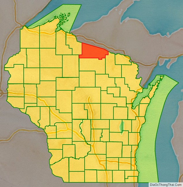
Vilas County location map. Where is Vilas County?
History
Native Americans
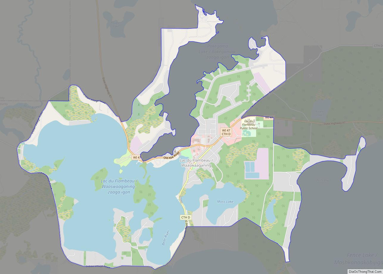
Native Americans have lived in what is now Vilas County for thousands of years. The county contains archaeological sites dating to the prehistoric Woodland period. In the eighteenth century, the area was disputed by the Dakota and Ojibwe people. According to oral histories, the conflict culminated in Ojibwe victory in a battle on Strawberry Island in Flambeau Lake around 1745. Ojibwe people have continued to live in the area ever since, securing the Lac du Flambeau Indian Reservation in the 1854 Treaty of La Pointe.
Settlement
The first recorded white settler was a man named Ashman who established a trading post in Lac du Flambeau in 1818.
In the 1850s migrants from New England, primarily from Vermont and Connecticut, constructed wagon roads and trails through Vilas County including the Ontonagan Mail Trail and a military road from Fort Howard to Fort Wilkins in Copper Harbor, Michigan.
Vilas County was set off from Oneida County on April 12, 1893, and named for William Freeman Vilas. Originally from Vermont, Vilas represented Wisconsin in the United States Senate from 1891 to 1897.
Logging era
Logging began in the late 1850s. Loggers came from Cortland County, New York, Carroll County, New Hampshire, Orange County, Vermont and Down East Maine in what is now Washington County, Maine and Hancock County, Maine. Many dams were built throughout the county to assist loggers as they sent their timber downstream to the lumber and paper mills in the Wisconsin River valley. After the county was founded in 1893 and logging ceased to be the primary industry in the area, migrants seeking other forms of employment settled in the county. These later immigrants primarily came from Germany, Ireland and Poland though some came from other parts of the United States as well.
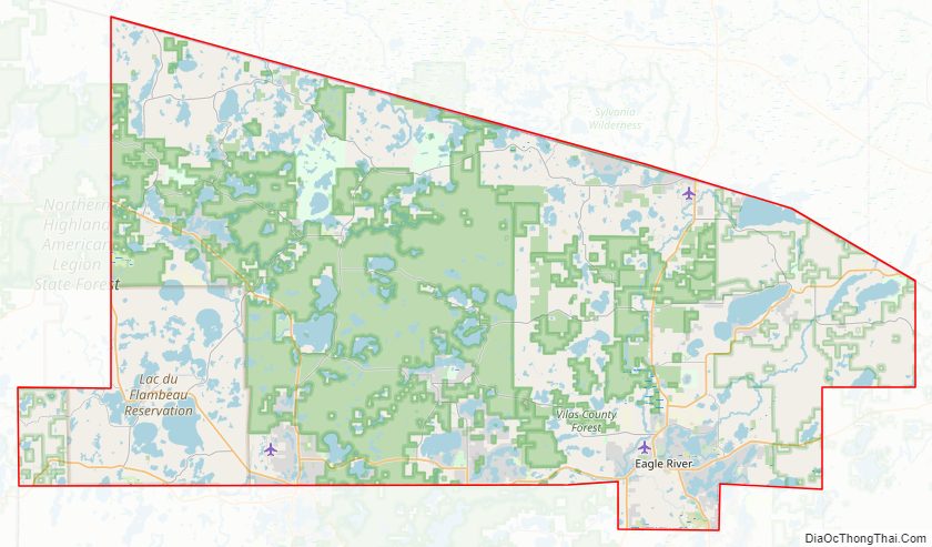
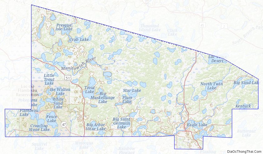
Vilas County Road Map
Geography
According to the U.S. Census Bureau, the county has a total area of 1,018 square miles (2,640 km), of which 857 square miles (2,220 km) is land and 161 square miles (420 km) (16%) is water. There are 1,318 lakes in the county. Much of Vilas County is covered by the Chequamegon-Nicolet National Forest and the Northern Highland-American Legion State Forest as well as extensive county forest lands. Vilas County waters drain to Lake Superior, Lake Michigan, and the Mississippi River. The Wisconsin, Flambeau, and Presque Isle Rivers all find their headwaters in Vilas County.
Adjacent counties
- Forest County – southeast
- Iron County – west
- Oneida County – south
- Price County – southwest
- Gogebic County, Michigan – north
- Iron County, Michigan – northeast
Major highways
- U.S. Highway 45
- U.S. Highway 51
- Highway 17 (Wisconsin)
- Highway 32 (Wisconsin)
- Highway 47 (Wisconsin)
- Highway 70 (Wisconsin)
- Highway 155 (Wisconsin)
Buses
- List of intercity bus stops in Wisconsin
Airports
- KARV – Lakeland Airport / Noble F. Lee Memorial Field
- KEGV – Eagle River Union Airport
- KLNL – Kings Land O’ Lakes Airport
- D25 – Manitowish Waters Airport
National protected areas
- Chequamegon National Forest (part)
- Nicolet National Forest (part)
Although these two forests have been administratively combined into the Chequamegon-Nicolet National Forest, it is important to note that the county contains portions of both original forests.
Vilas County Topographic Map
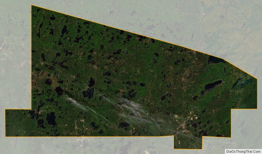
Vilas County Satellite Map
Vilas County Outline Map