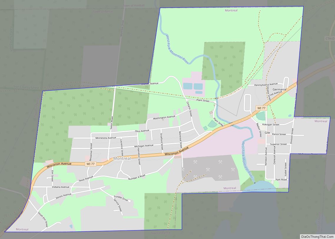
Montreal is a city in Iron County, Wisconsin, United States. The population was 807 at the 2010 census. The neighborhood of Gile is part of the city; however, it still has its own post office and ZIP code: 54525. Like Gile, the former unincorporated community of Germania has also been annexed by the city.
| Name: | Montreal city |
|---|---|
| LSAD Code: | 25 |
| LSAD Description: | city (suffix) |
| State: | Wisconsin |
| County: | Iron County |
| Elevation: | 1,598 ft (487 m) |
| Total Area: | 2.23 sq mi (5.79 km²) |
| Land Area: | 2.22 sq mi (5.75 km²) |
| Water Area: | 0.01 sq mi (0.04 km²) |
| Total Population: | 807 |
| Population Density: | 339.04/sq mi (130.92/km²) |
| Area code: | 715 & 534 |
| FIPS code: | 5554075 |
| GNISfeature ID: | 1569683 |
| Website: | montrealwis.com |
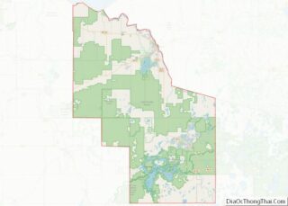
Online Interactive Map
Click on ![]() to view map in "full screen" mode.
to view map in "full screen" mode.
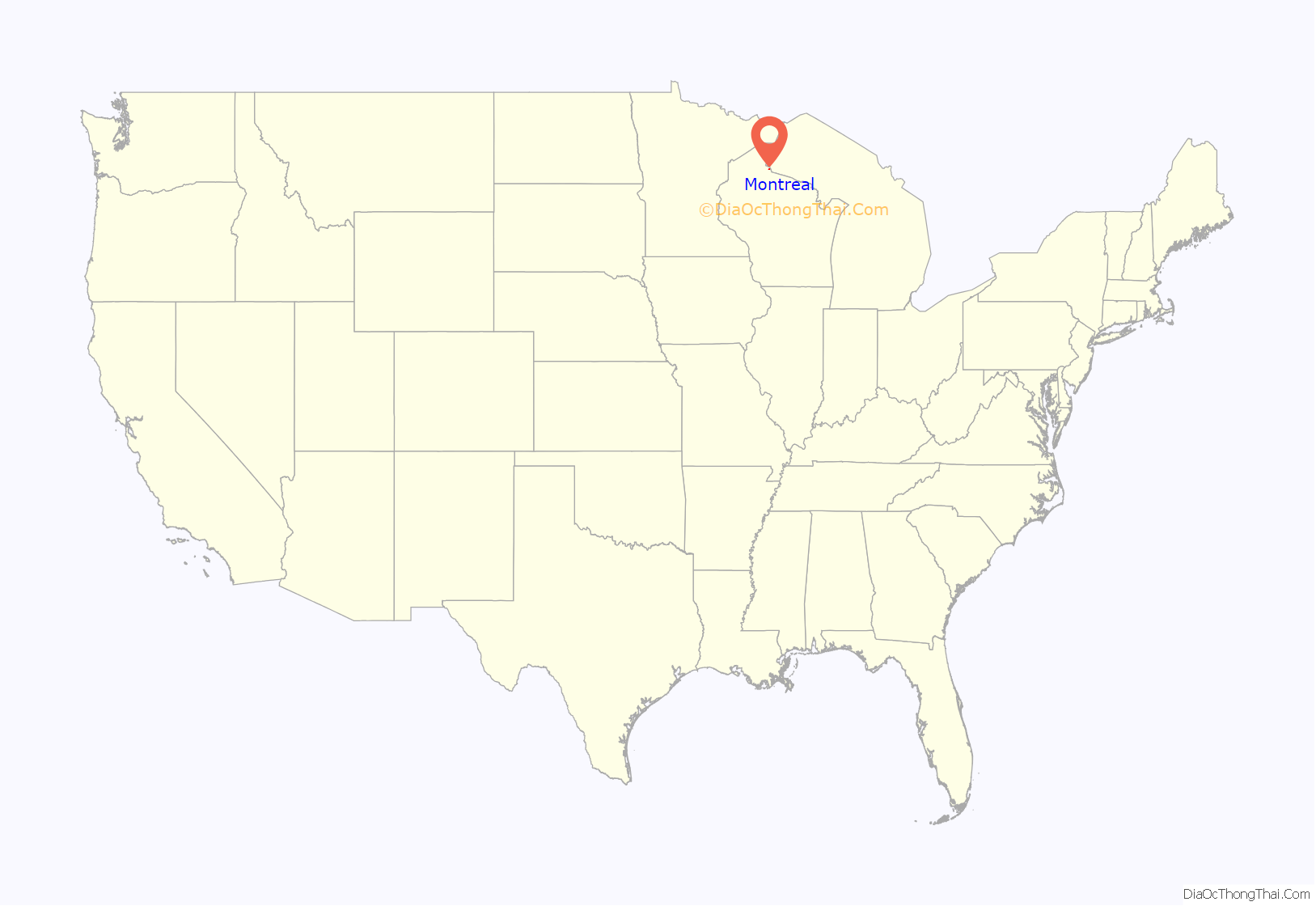
Montreal location map. Where is Montreal city?

History
Montreal was originally incorporated as the Village of Hamilton, on or about 1917, and was the first village formed in Iron County.
Montreal, as it was named upon its incorporation as a city on April 1, 1924, was named for the Montreal Mining Company, which had several copper and iron ore mines in the area during the late 1800s. During the early 1900s, miners settled near the mine shaft and leased the land from the mining company. However, in 1918, in order to retain workers, the company initiated a program that rented pre-fabricated homes to miners. The Montreal Company Location Historic District, which includes several of these company town houses, was added to the National Register of Historic Places in 1980 as a national example of industrial community planning. The ore deposits left from Montreal’s mining days can still be seen from Wisconsin Highway 77.
An area iron mine operated by Oglebay Norton Corporation was, at the time of its closing in 1962, the deepest iron mine in the world, with a vertical depth of 4,335 feet (1,321 m).
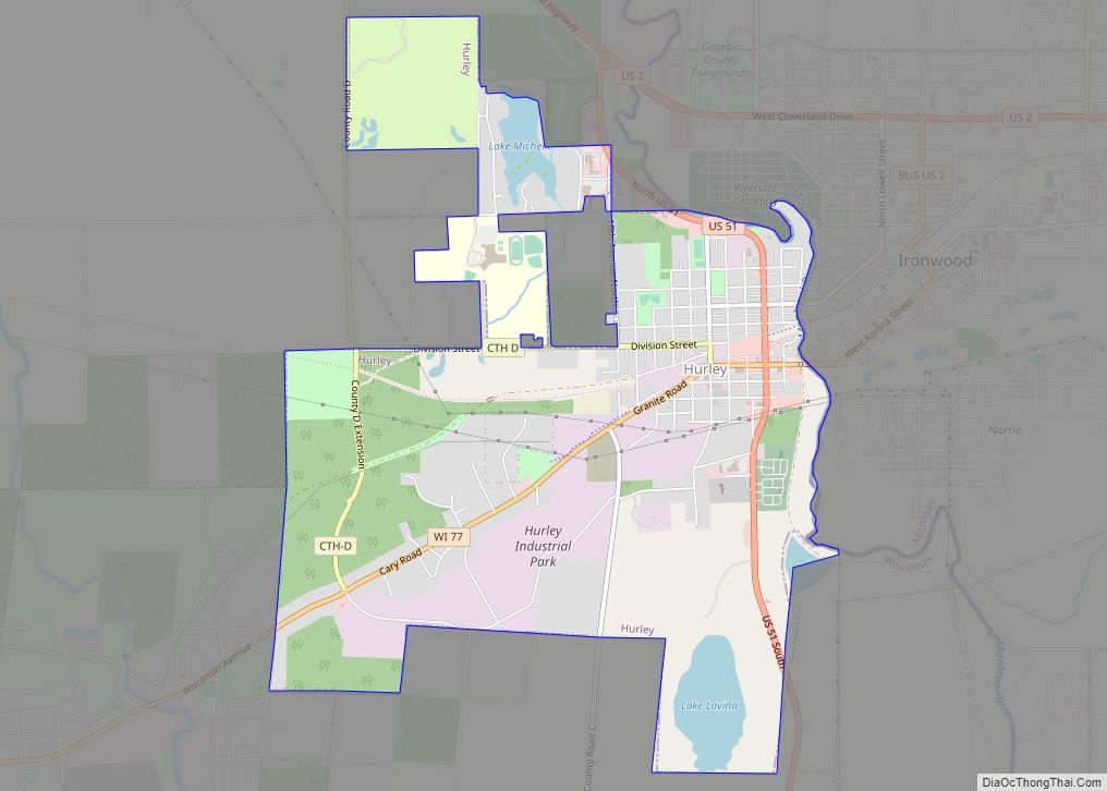
Montreal Road Map

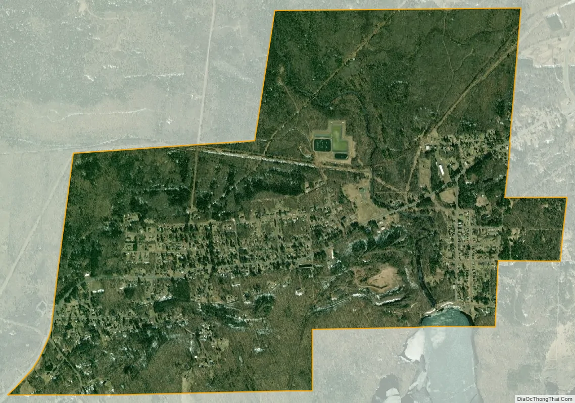
Montreal city Satellite Map
Geography
Montreal is located at 46°25′45″N 90°14′20″W / 46.42917°N 90.23889°W / 46.42917; -90.23889 (46.429081, -90.238845).
According to the United States Census Bureau, the city has a total area of 2.24 square miles (5.80 km), of which 2.23 square miles (5.78 km) is land and 0.01 square miles (0.03 km) is water.
See also
Map of Wisconsin State and its subdivision:- Adams
- Ashland
- Barron
- Bayfield
- Brown
- Buffalo
- Burnett
- Calumet
- Chippewa
- Clark
- Columbia
- Crawford
- Dane
- Dodge
- Door
- Douglas
- Dunn
- Eau Claire
- Florence
- Fond du Lac
- Forest
- Grant
- Green
- Green Lake
- Iowa
- Iron
- Jackson
- Jefferson
- Juneau
- Kenosha
- Kewaunee
- La Crosse
- Lafayette
- Lake Michigan
- Lake Superior
- Langlade
- Lincoln
- Manitowoc
- Marathon
- Marinette
- Marquette
- Menominee
- Milwaukee
- Monroe
- Oconto
- Oneida
- Outagamie
- Ozaukee
- Pepin
- Pierce
- Polk
- Portage
- Price
- Racine
- Richland
- Rock
- Rusk
- Saint Croix
- Sauk
- Sawyer
- Shawano
- Sheboygan
- Taylor
- Trempealeau
- Vernon
- Vilas
- Walworth
- Washburn
- Washington
- Waukesha
- Waupaca
- Waushara
- Winnebago
- Wood
- Alabama
- Alaska
- Arizona
- Arkansas
- California
- Colorado
- Connecticut
- Delaware
- District of Columbia
- Florida
- Georgia
- Hawaii
- Idaho
- Illinois
- Indiana
- Iowa
- Kansas
- Kentucky
- Louisiana
- Maine
- Maryland
- Massachusetts
- Michigan
- Minnesota
- Mississippi
- Missouri
- Montana
- Nebraska
- Nevada
- New Hampshire
- New Jersey
- New Mexico
- New York
- North Carolina
- North Dakota
- Ohio
- Oklahoma
- Oregon
- Pennsylvania
- Rhode Island
- South Carolina
- South Dakota
- Tennessee
- Texas
- Utah
- Vermont
- Virginia
- Washington
- West Virginia
- Wisconsin
- Wyoming