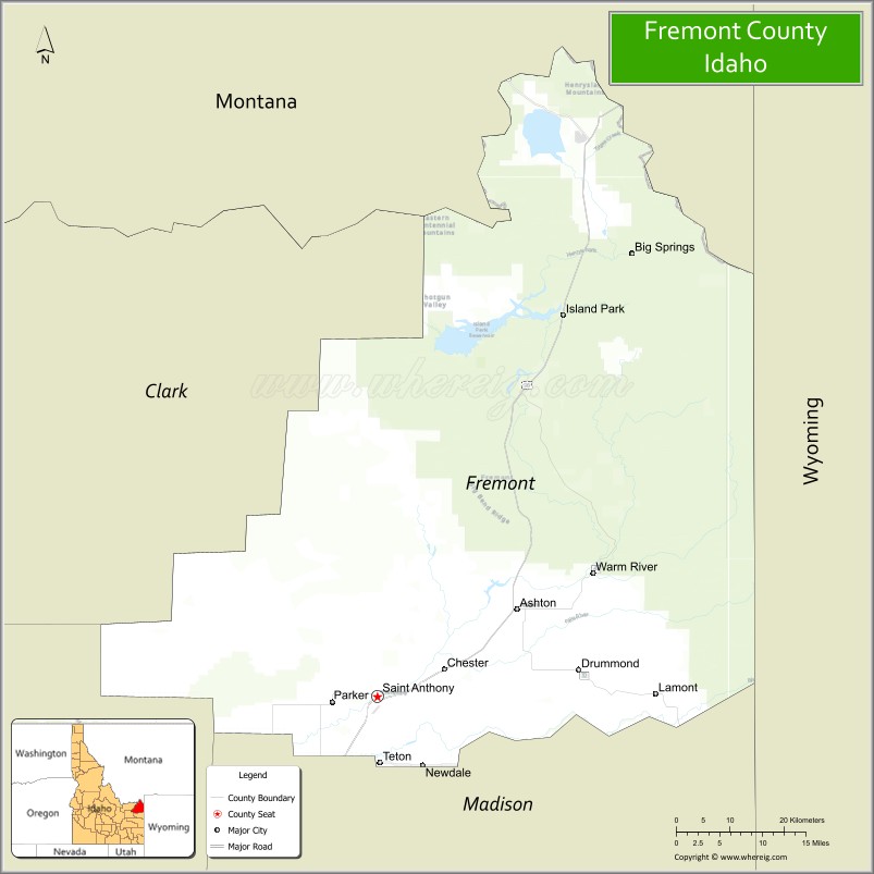
Fremont County is a county located in the U.S. state of Idaho. As of the 2020 census the county had a population of 13,388. The county seat and largest city is St. Anthony. The county was established in 1893, and was named for the explorer John C. Frémont. Fremont County is part of the Rexburg, Idaho micropolitan area, which is also included in the Idaho Falls metropolitan area.
| Name: | Fremont County |
|---|---|
| FIPS code: | 16-043 |
| State: | Idaho |
| Founded: | March 4, 1893 |
| Named for: | John C. Frémont |
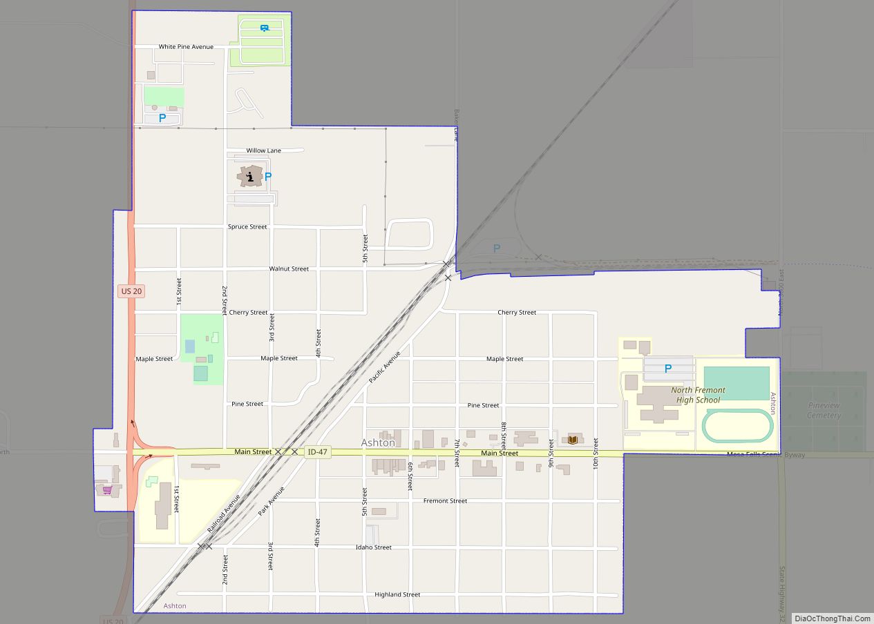
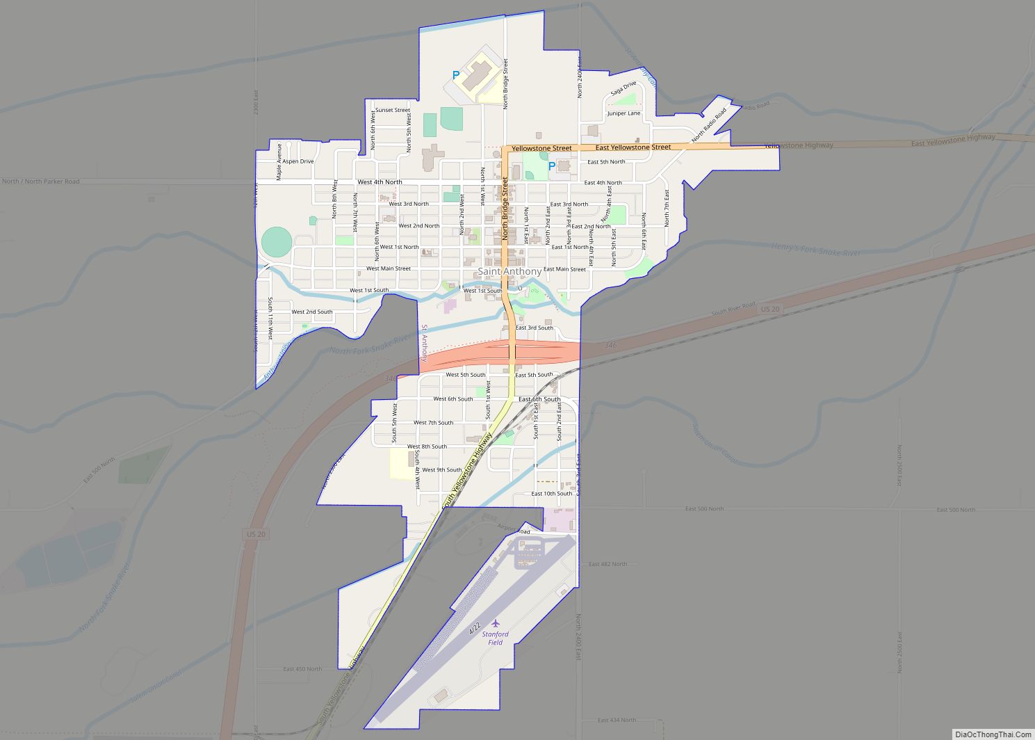
| Seat: | St. Anthony |
| Largest city: | St. Anthony |
| Total Area: | 1,896 sq mi (4,910 km²) |
| Land Area: | 1,864 sq mi (4,830 km²) |
| Total Population: | 13,388 |
| Population Density: | 7.1/sq mi (2.7/km²) |
| Time zone: | UTC−7 (Mountain) |
| Summer Time Zone (DST): | UTC−6 (MDT) |
| Website: | www.co.fremont.id.us |
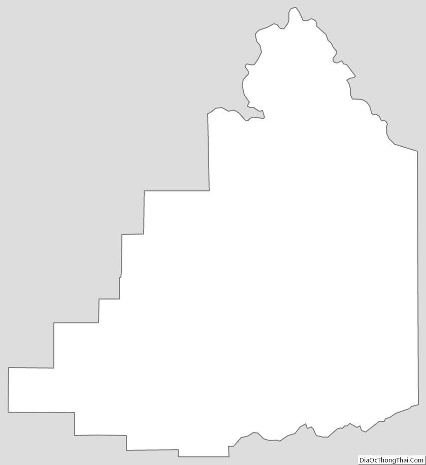
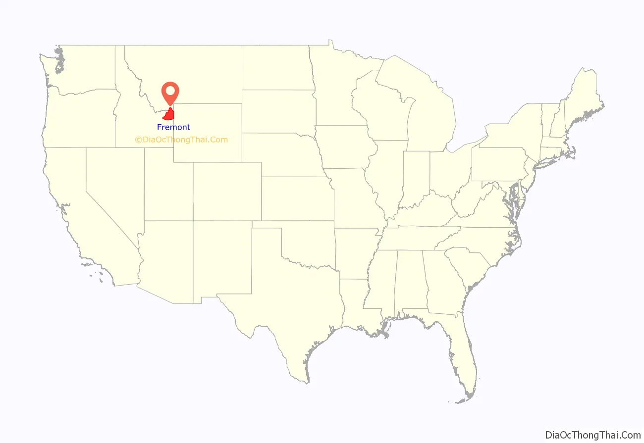
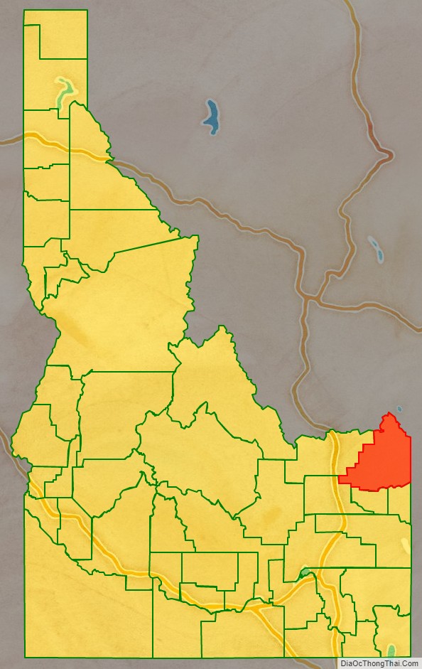
Fremont County location map. Where is Fremont County?
History
Fremont County was established in 1893 when Bingham County was partitioned. It is named for John C. Frémont.
The county initially contained all of the northern portion of eastern Idaho north of Bonneville County. The counties of Jefferson and Madison were created from Fremont in 1913. Teton County was later created from Madison in 1915 and a portion of Butte was created from Jefferson in 1917. Clark County was also created from Fremont in 1919.
The first fur trapping operation by a United States fur company west of the Rocky Mountains occurred in 1810 when Andrew Henry established a fort in the fall of 1810 on Conant Creek in southern Fremont County. Henry later moved the fort to the south bank of the Henry’s Fork of the Snake River between present-day settlements of Salem and Parker. The fort was abandoned some time after 1811.
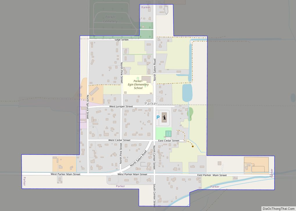
At the time of early settlement, Fremont County was located on the northern edge of Oneida County. Mining, timber, and ranching operations commenced in the Island Park area prior to 1870. The establishment of Yellowstone National Park in 1872 also contributed to the eventual development of the Island Park area as a popular recreation area. Construction of the Egin Canal commenced in 1879 and farming settlement of the Egin area followed. In 1883, Parker was established and settlement commenced at Teton. These settlements became part of Bingham County when it was created in 1885. Settlement at St. Anthony started in 1888 while the Ashton area settlement of Marysville commenced settlement in 1889. At the 1890 Census, Bingham County enumerated 301 residents in the precincts of Teton and Henry’s Lake.
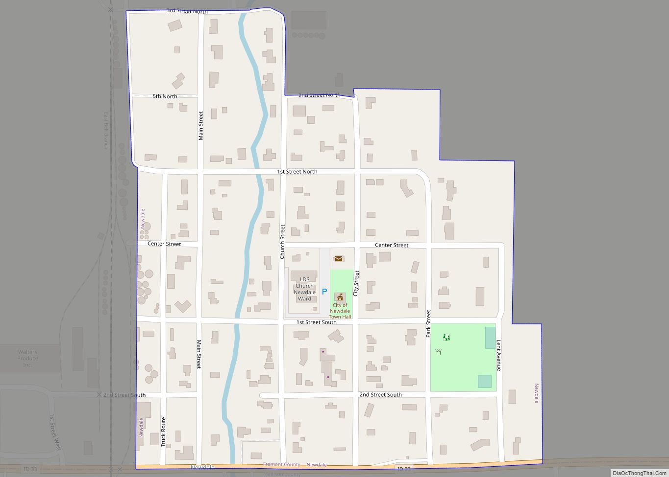
Additional settlement occurred at Warm River in 1896, the Drummond area in 1900, and Newdale in 1914.
The Fremont County Courthouse in St. Anthony is on the National Register of Historic Places.
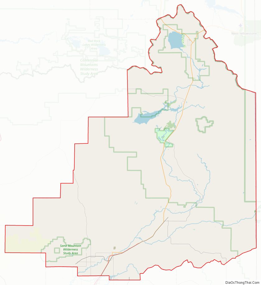
Fremont County Road Map
Geography
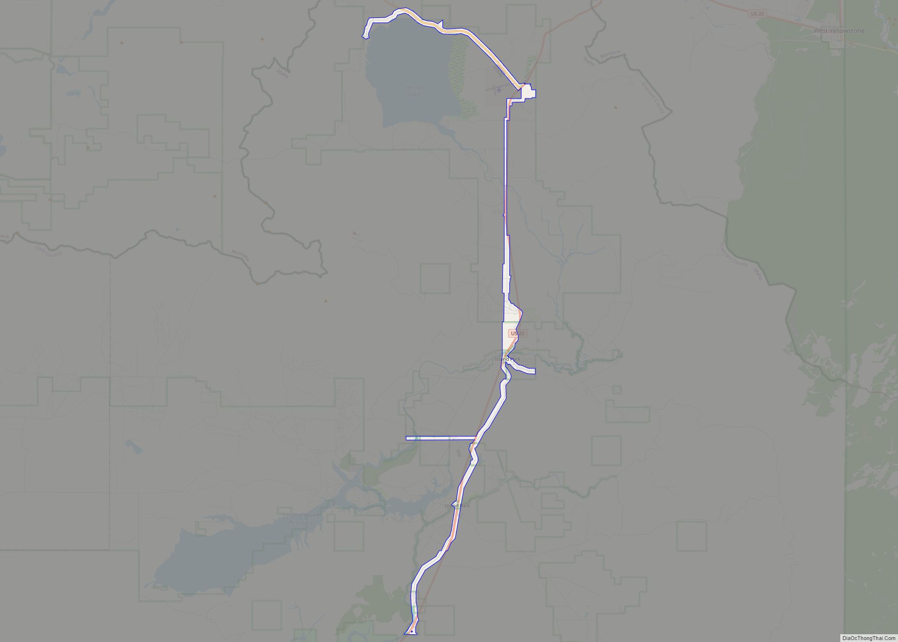
According to the U.S. Census Bureau, the county has a total area of 1,896 square miles (4,910 km), of which 1,864 square miles (4,830 km) is land and 32 square miles (83 km) (1.7%) is water. The southern part of the county cover the northeast tip of the Snake River Basin, with the mountains of the continental divide forming its northern boundary. Montana lies to the north, and Wyoming to the east. A portion of Yellowstone National Park reaches into the county.
Adjacent Counties
- Clark County – west
- Jefferson County – southwest
- Madison County – south
- Teton County – south
- Teton County, Wyoming – east
- Gallatin County, Montana – north
- Madison County, Montana – north
- Beaverhead County, Montana – northwest
Fremont County is one of the few US counties to border two counties of the same name in different states. Fremont County borders two such pairs of counties– Madison County, Idaho and Madison County, Montana and Teton County, Idaho and Teton County, Wyoming.
Major highways
- US 20
- SH-47
- SH-87
National protected areas
- Caribou-Targhee National Forest (part)
- Yellowstone National Park (part)
Fremont County Topographic Map
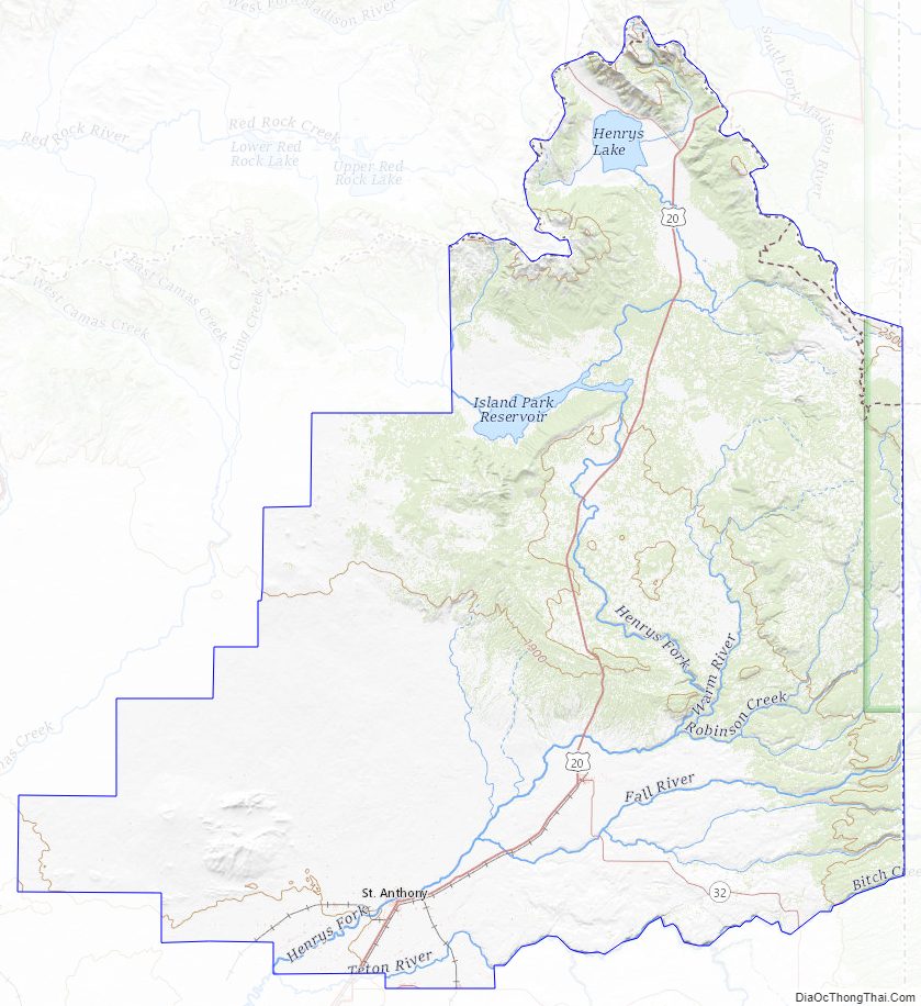
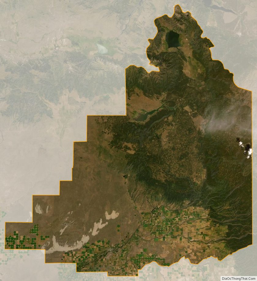
Fremont County Satellite Map
Fremont County Outline Map