Bonneville County is a county located in the U.S. state of Idaho. As of the 2020 census, the county had a population of 123,964, making it the fourth-most populous county in Idaho and the most populous in eastern Idaho. Its county seat and largest city is Idaho Falls. Bonneville County was established in 1911 and named after Benjamin Bonneville (1796–1878), a French-born officer in the U.S. Army, fur trapper, and explorer in the American West. Benjamin was the son of Nicholas Bonneville of France, an Illuminati member who had written the “Illuminati Manifesto for World Revolution” in 1792, which played a significant role in the French revolution. Bonneville County is part of the Idaho Falls Metropolitan Statistical Area.
| Name: | Bonneville County |
|---|---|
| FIPS code: | 16-019 |
| State: | Idaho |
| Founded: | February 7, 1911 |
| Named for: | Benjamin Bonneville |
| Seat: | Idaho Falls |
| Largest city: | Idaho Falls |
| Total Area: | 1,901 sq mi (4,920 km²) |
| Land Area: | 1,866 sq mi (4,830 km²) |
| Total Population: | 123,964 |
| Population Density: | 63.8/sq mi (24.6/km²) |
| Time zone: | UTC−7 (Mountain) |
| Summer Time Zone (DST): | UTC−6 (MDT) |
| Website: | www.bonnevillecountyidaho.gov |
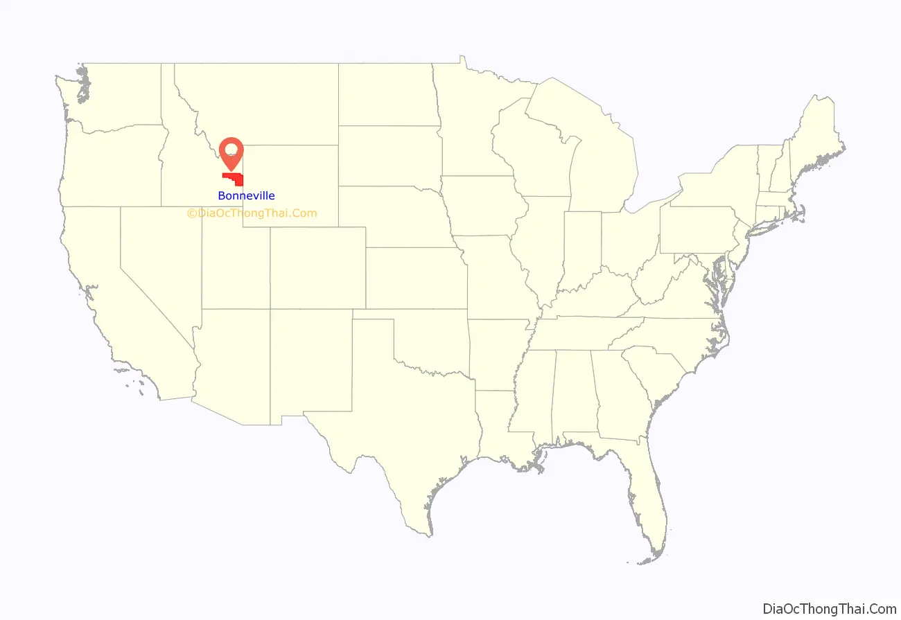
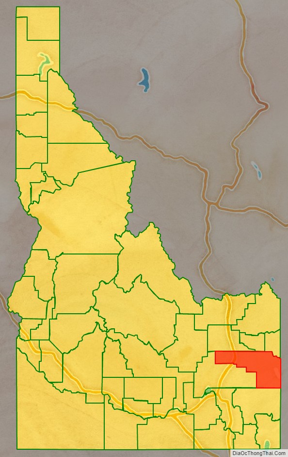
Bonneville County location map. Where is Bonneville County?
History
Bonneville County was established February 7, 1911, by the state legislature from the north and east parts of Bingham County, Idaho. It was named for Capt. B.L.E. Bonneville, of the U.S. Army, who explored throughout the Snake River area in the 1830s. A settlement developed at the site of the Idaho Falls, Idaho ferry on the Snake River in 1864. This settlement was to be known as Idaho Falls after 1891.
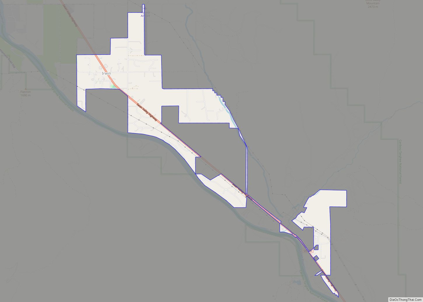
Today, Bonneville County stretches up from two desert floors through a fertile valley of plush crops and into heavily forested peaks. The area that became Bonneville County was first associated with Oneida County which stretched through most of southern and southeastern Idaho. It was later reapportioned and formed the northern end of Bingham County. It wasn’t until 1911 that Bonneville County was formed and Idaho Falls became the County seat. During all of this time, and even before people started making boundaries and setting up towns, villages and governments, there was a rich part to the region. Indians roamed much of the county in travels to Camas Harvest, and in 1808 John Corter came through the area. In 1810, Major Andrew Henry saw the country, and in 1832, the man whose name was later to be immortalized by the institution of the county, Captain B.L.E. Bonneville, visited the area.
The first bona fide town in the county, Keenan, was in the extreme eastern portion of Bonneville County near Caribou Mountain. Keenan boasted a population of nearly 1,000 people. It was about this same time, 1870, that Caribou City also sprang up and Eagle Rock, the forerunner of present-day Idaho Falls, began to acquire a population. There was a time during this growth and settlement period when it appeared Caribou City would outgrow Eagle Rock.
The gold rush into the Caribou region was not considered a small one despite the brevity of the settlements. An estimated $50 million was taken out of the region in gold dust and nuggets. Aside from the gold on Caribou mountain, cattle raising was the first major industry. Before the coming of the railroad, Matt Taylor bought and trailed a herd of cattle into the valley. As more settlers came they too started herds and stock raising became a profitable, growing industry.
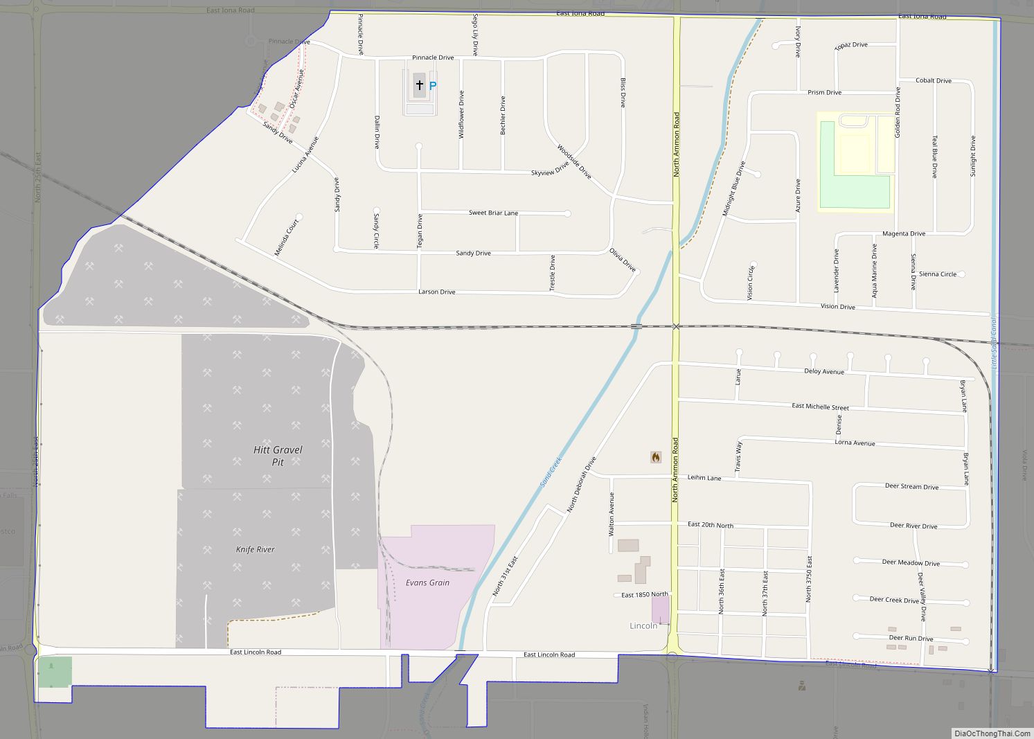
Experiments proved that many farm products could be raised in the area and farms spread over the valley. In 1888, a group of farmers planted small acreages of potatoes. That fall they sold them for 90 cents per hundred weight, and a new industry was created. During the early 20th century, more experiments had shown that sugar beets could be grown successfully. In 1902, Mark Austin surveyed the possibilities and recommended that a sugar factory be built east of Idaho Falls. In 1903 the cornerstone for the building was laid. That fall the factory was in production and the small town of Lincoln built up around it.
From the building of the ferry in 1863 to 1900 the face of Bonneville County changed considerably. The Utah and Northern Railroad Company made Eagle Rock a division point, built maintenance shops and the town grew. In 1885, Eagle Rock had a population of 1,500. In 1887 the railroad shops moved to Pocatello, leaving Eagle Rock almost a ghost town. With the development of irrigation, the town took on a new life and it became the most important shipping point between Ogden, Utah and Butte, Montana.
Idaho Falls
On August 26, 1891, the name of Eagle Rock was changed to Idaho Falls due to the cataract in the river on the west edge of the city. The town became a city on April 6, 1900, with Joseph A. Clark as its first Mayor. Idaho Falls was on its way and headed for a future that would one day see it as headquarters for an atomic energy installation; but in the year of 1900, it was still a city under the control of Blackfoot. Blackfoot was the county seat of Bingham County which still harbored Idaho Falls and it was to be 11 years before Idaho Falls became the county seat.
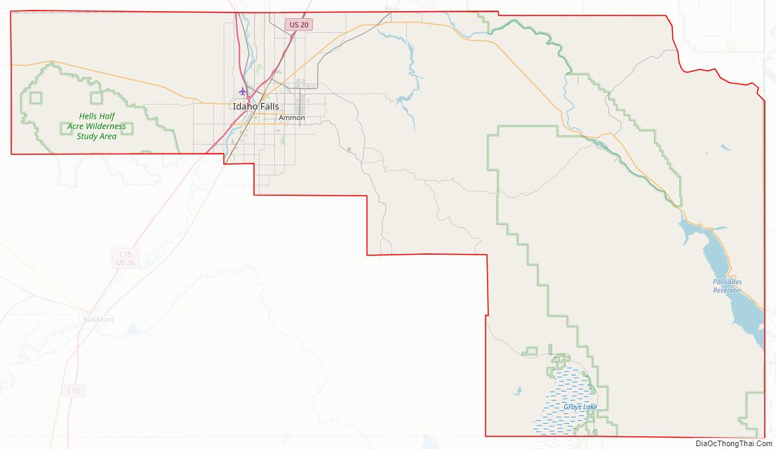
Bonneville County Road Map
Geography
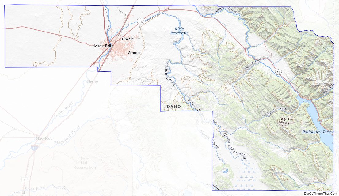
According to the U.S. Census Bureau, the county has a total area of 1,901 square miles (4,920 km), of which 1,866 square miles (4,830 km) is land and 35 square miles (91 km) (1.8%) is water. The Snake River flows northwest through the Bonneville County, beginning at the Wyoming border as the Palisades Reservoir. The river exits the county about midway on its northern border, turns and re-enters approximately 20 miles (32 km) west to flow southwest through Idaho Falls .
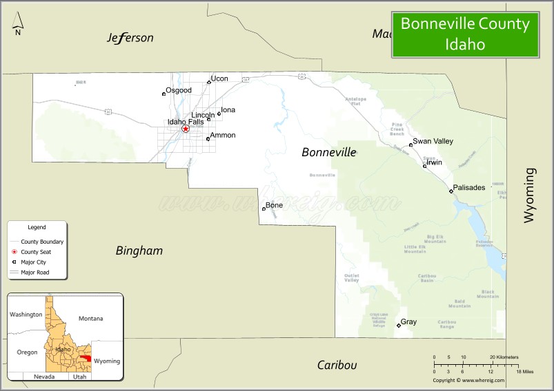
Adjacent counties
- Madison County – north
- Teton County – north
- Teton County, Wyoming – northeast
- Lincoln County, Wyoming – southeast
- Caribou County – south
- Bingham County – west
- Jefferson County – northwest
Major highways
- – Interstate 15
- – US 20
- – US 26
- – US 91
- – SH-31
- – SH-43
National protected areas
- Caribou National Forest (part)
- Grays Lake National Wildlife Refuge (part)
- Targhee National Forest (part)
Bonneville County Topographic Map
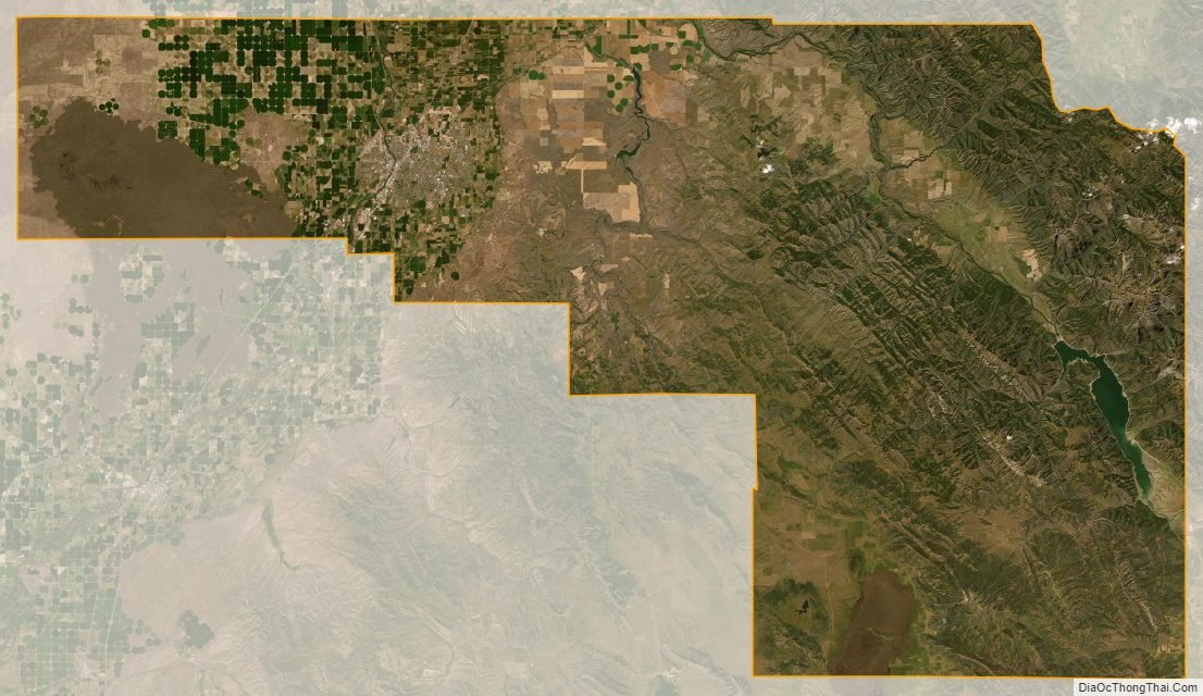
Bonneville County Satellite Map
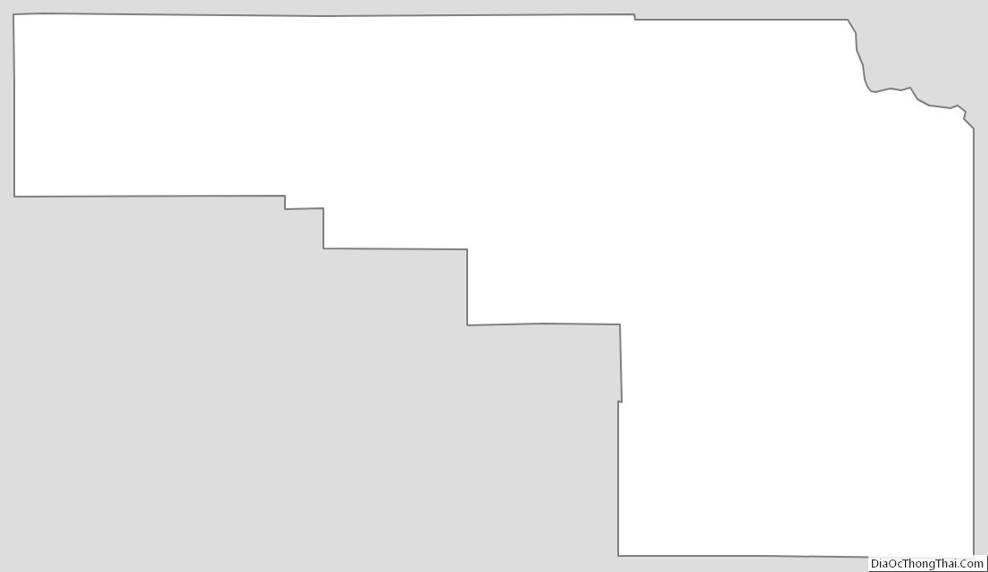
Bonneville County Outline Map