Rigby is a city in and the county seat of Jefferson County, Idaho, United States. The population was 3,945 at the 2010 census, up from 2,998 in 2000.
| Name: | Rigby city |
|---|---|
| LSAD Code: | 25 |
| LSAD Description: | city (suffix) |
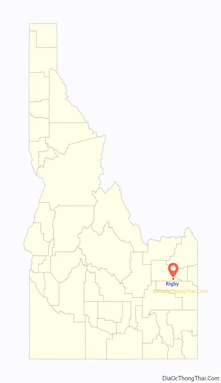
| State: | Idaho |
| County: | Jefferson County |
| Elevation: | 4,856 ft (1,480 m) |
| Total Area: | 2.37 sq mi (6.13 km²) |
| Land Area: | 2.36 sq mi (6.10 km²) |
| Water Area: | 0.01 sq mi (0.03 km²) |
| Total Population: | 3,945 |
| Population Density: | 1,821.73/sq mi (703.52/km²) |
| ZIP code: | 83442 |
| Area code: | 208 |
| FIPS code: | 1667780 |
| GNISfeature ID: | 0398045 |
| Website: | www.cityofrigby.com |
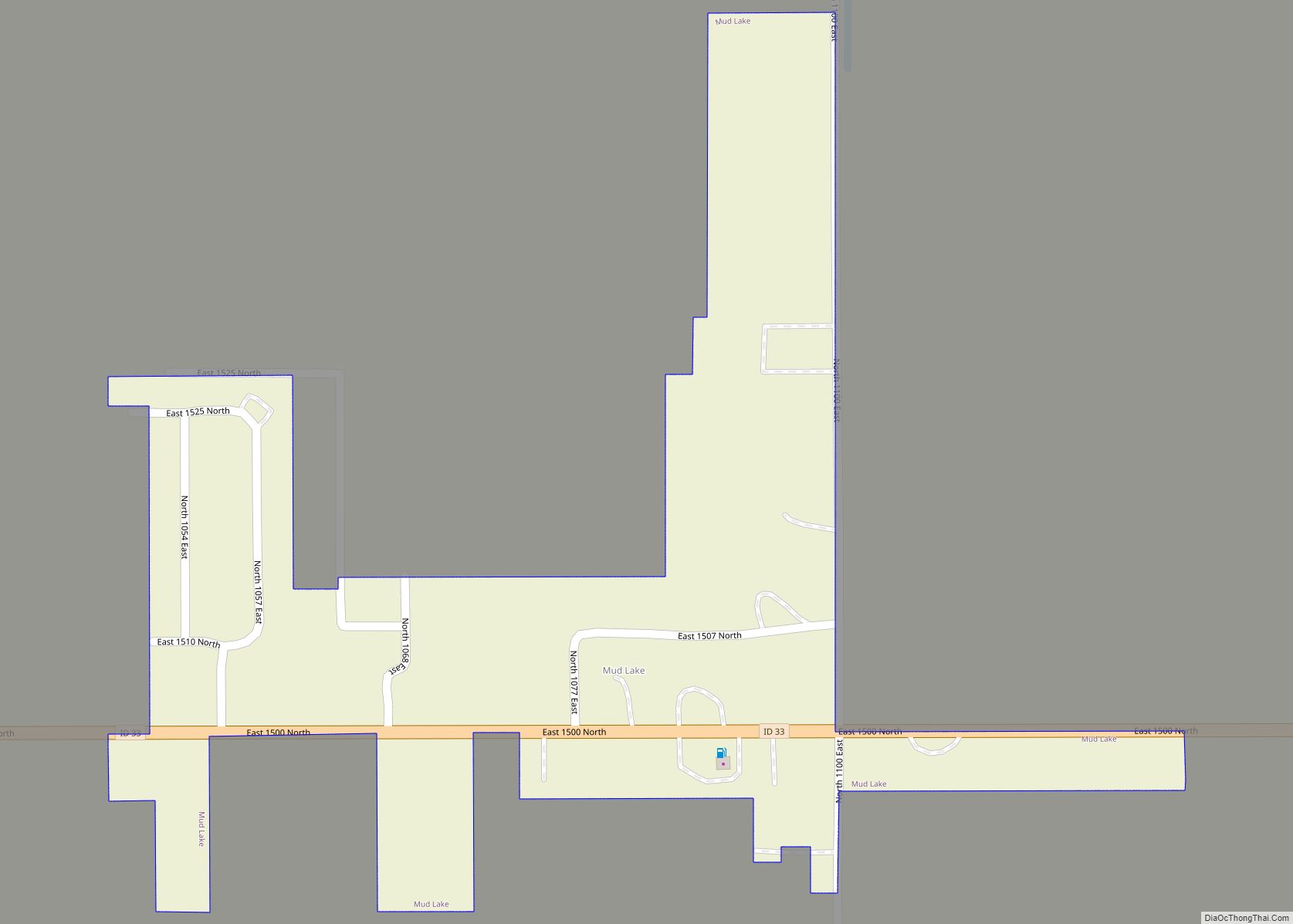
Online Interactive Map
Click on ![]() to view map in "full screen" mode.
to view map in "full screen" mode.
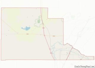
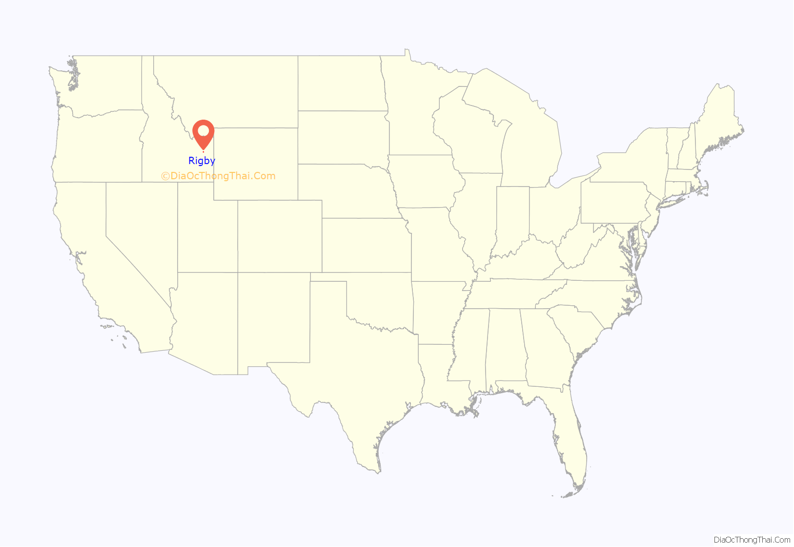
Rigby location map. Where is Rigby city?
History
Rigby was founded by members of the Church of Jesus Christ of Latter-day Saints in 1884 and incorporated in 1903. The community was named after William F. Rigby, a prominent early settler and member of the church. A significant majority of Rigby’s residents, as well as those of the outlying communities, are members of the Church of Jesus Christ of Latter-Day Saints. Baptist, Presbyterian, and Lutheran faiths also have current local congregations.
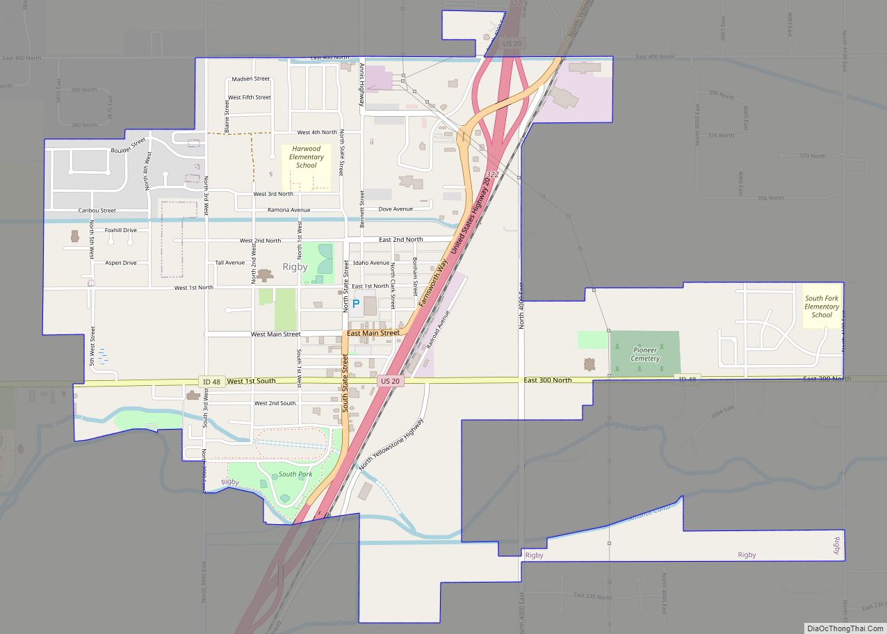
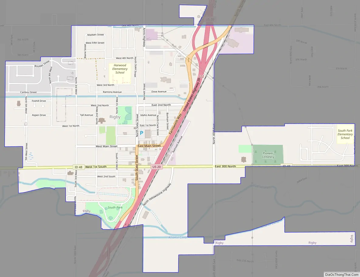
Rigby Road Map
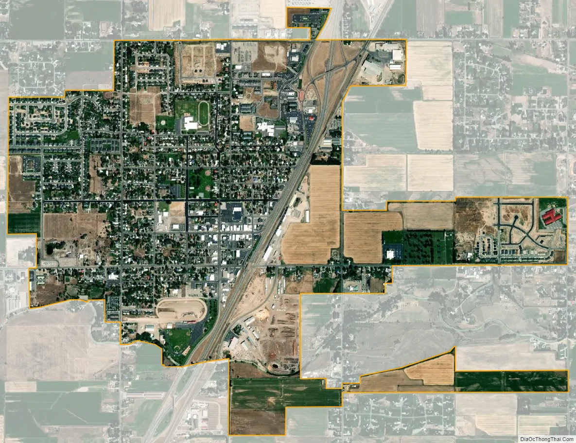
Rigby city Satellite Map
Geography
Rigby is at an elevation of 4,856 feet (1,480 m) above sea level.
Climate
According to the Köppen climate classification, Rigby has a warm-summer humid continental climate (Dfb).
According to the United States Census Bureau, the city has a total area of 2.36 square miles (6.11 km), of which, 2.35 square miles (6.09 km) is land and 0.01 square miles (0.03 km) is water.
Many tributaries of the Snake River run through the Rigby area including the Henry’s Fork, South Fork, and others. With the large amount of water, Jefferson County surrounding Rigby is the largest cottonwood forest west of the Mississippi River.
See also
Map of Idaho State and its subdivision:- Ada
- Adams
- Bannock
- Bear Lake
- Benewah
- Bingham
- Blaine
- Boise
- Bonner
- Bonneville
- Boundary
- Butte
- Camas
- Canyon
- Caribou
- Cassia
- Clark
- Clearwater
- Custer
- Elmore
- Franklin
- Fremont
- Gem
- Gooding
- Idaho
- Jefferson
- Jerome
- Kootenai
- Latah
- Lemhi
- Lewis
- Lincoln
- Madison
- Minidoka
- Nez Perce
- Oneida
- Owyhee
- Payette
- Power
- Shoshone
- Teton
- Twin Falls
- Valley
- Washington
- Alabama
- Alaska
- Arizona
- Arkansas
- California
- Colorado
- Connecticut
- Delaware
- District of Columbia
- Florida
- Georgia
- Hawaii
- Idaho
- Illinois
- Indiana
- Iowa
- Kansas
- Kentucky
- Louisiana
- Maine
- Maryland
- Massachusetts
- Michigan
- Minnesota
- Mississippi
- Missouri
- Montana
- Nebraska
- Nevada
- New Hampshire
- New Jersey
- New Mexico
- New York
- North Carolina
- North Dakota
- Ohio
- Oklahoma
- Oregon
- Pennsylvania
- Rhode Island
- South Carolina
- South Dakota
- Tennessee
- Texas
- Utah
- Vermont
- Virginia
- Washington
- West Virginia
- Wisconsin
- Wyoming