Jefferson County is a county located in the U.S. state of Iowa. As of the 2020 United States Census, the population was 15,663. The county seat is Fairfield. The county was formed in January 1839, and was named for U.S. President Thomas Jefferson.
Jefferson County comprises the Fairfield, IA Micropolitan Statistical Area.
| Name: | Jefferson County |
|---|---|
| FIPS code: | 19-101 |
| State: | Iowa |
| Founded: | 21 January 1839 |
| Named for: | Thomas Jefferson |
| Seat: | Fairfield |
| Largest city: | Fairfield |
| Total Area: | 437 sq mi (1,130 km²) |
| Land Area: | 436 sq mi (1,130 km²) |
| Total Population: | 15,663 |
| Population Density: | 36/sq mi (14/km²) |
| Time zone: | UTC−6 (Central) |
| Summer Time Zone (DST): | UTC−5 (CDT) |
| Website: | jeffersoncounty.iowa.gov |
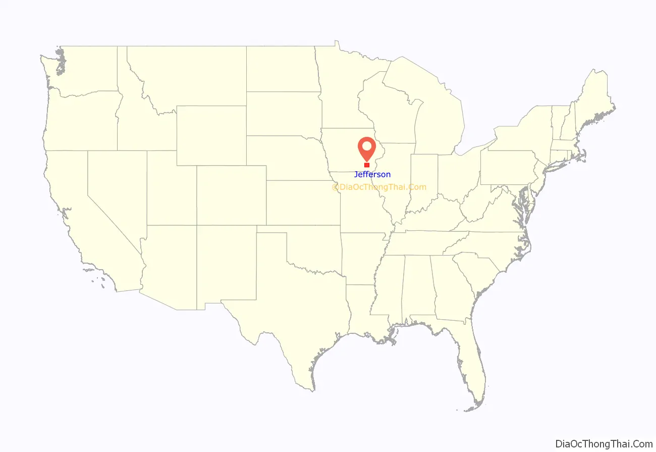
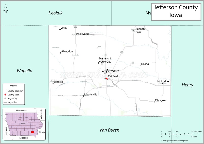
Jefferson County location map. Where is Jefferson County?
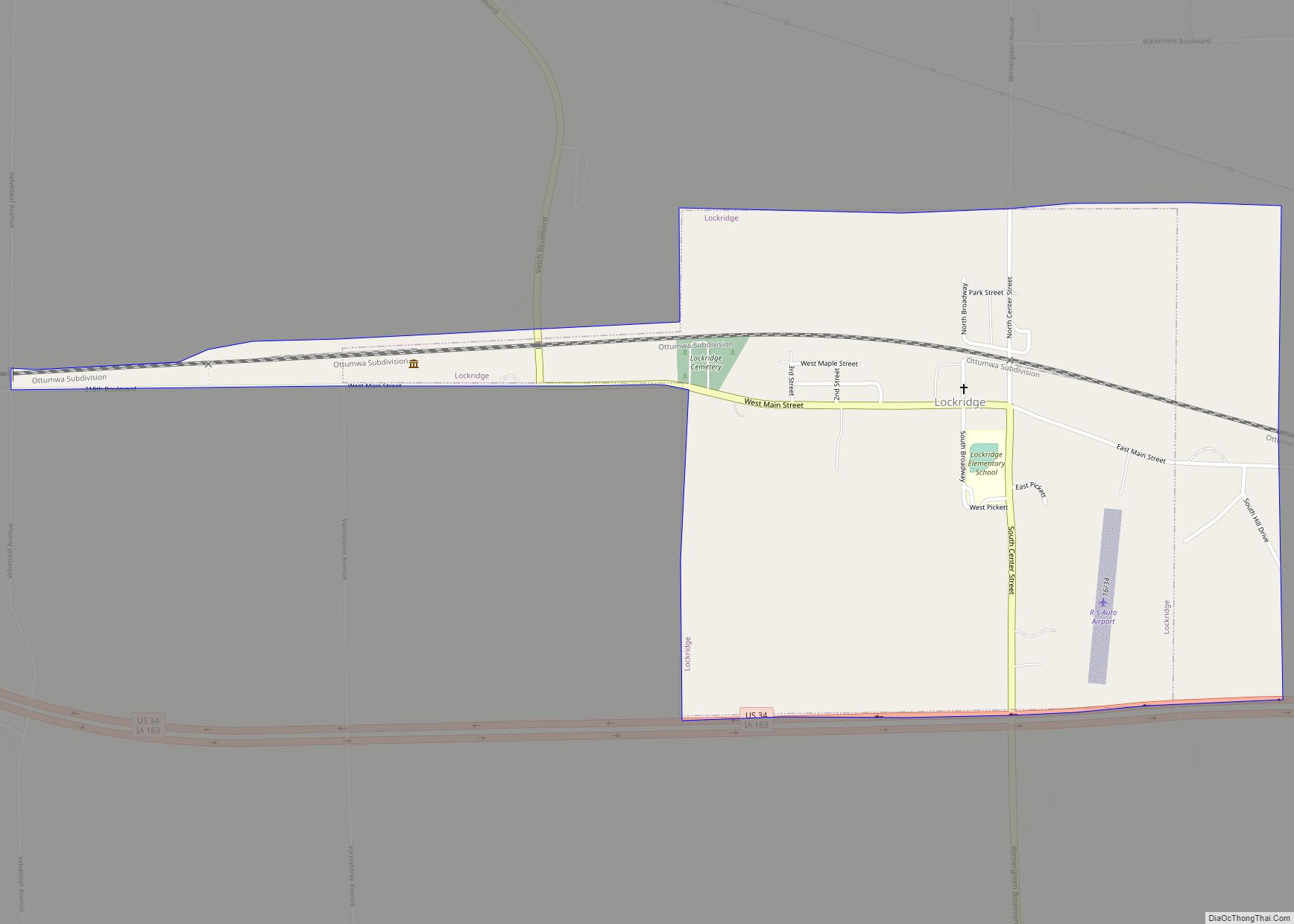
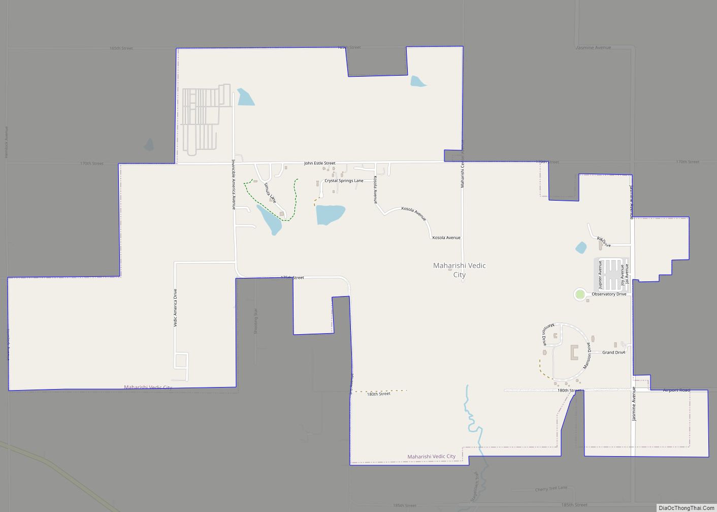
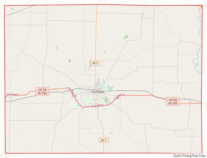
Jefferson County Road Map
Geography
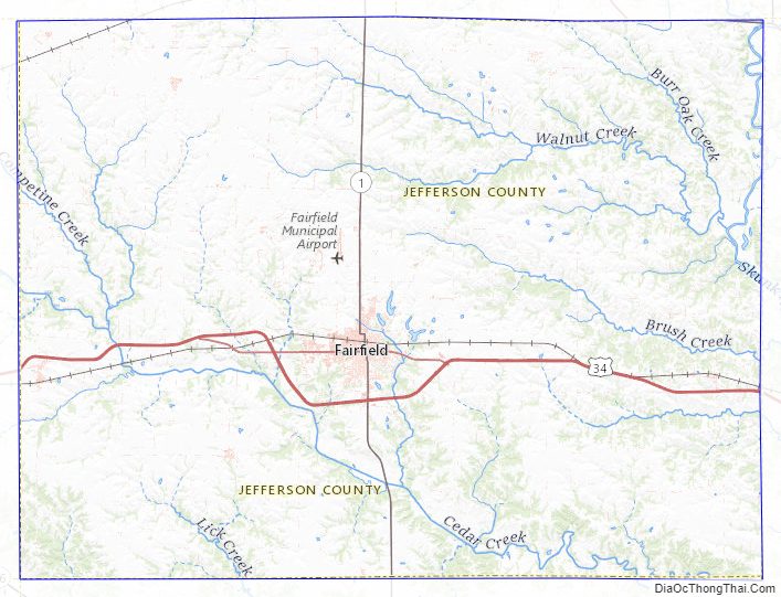
According to the US Census Bureau, the county has a total area of 437 square miles (1,130 km), of which 436 square miles (1,130 km) is land and 1.4 square miles (3.6 km) (0.3%) is water. The Skunk River flows southward through the NE part of the county, while the SW part of the county is drained by the nearby Des Moines River, which flows southeastward through Van Buren and Wapello counties.
Major highways
- U.S. Highway 34
- Iowa Highway 1
- Iowa Highway 78
Transit
- List of intercity bus stops in Iowa
Adjacent counties
- Keokuk County − northwest
- Washington County − northeast
- Henry County − east
- Van Buren County − south
- Wapello County − west
Jefferson County Topographic Map
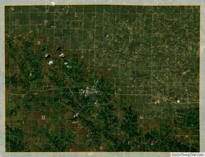
Jefferson County Satellite Map
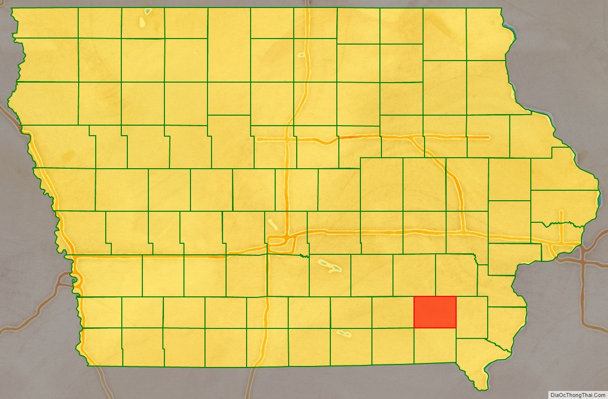
Jefferson County Outline Map