Jefferson County is a county in the U.S. state of Nebraska. As of the 2020 United States Census, the population was 7,240. Its county seat is Fairbury. The county was named for Thomas Jefferson, third President of the United States of America.
In the Nebraska license plate system, Jefferson County is represented by the prefix 33 (it had the thirty-third-largest number of vehicles registered in the county when the license plate system was established in 1922).
| Name: | Jefferson County |
|---|---|
| FIPS code: | 31-095 |
| State: | Nebraska |
| Founded: | 1856 |
| Named for: | Thomas Jefferson |
| Seat: | Fairbury |
| Largest city: | Fairbury |
| Total Area: | 576 sq mi (1,490 km²) |
| Land Area: | 570 sq mi (1,500 km²) |
| Total Population: | 7,176 |
| Population Density: | 12.6/sq mi (4.9/km²) |
| Time zone: | UTC−6 (Central) |
| Summer Time Zone (DST): | UTC−5 (CDT) |
| Website: | www.co.jefferson.ne.us |
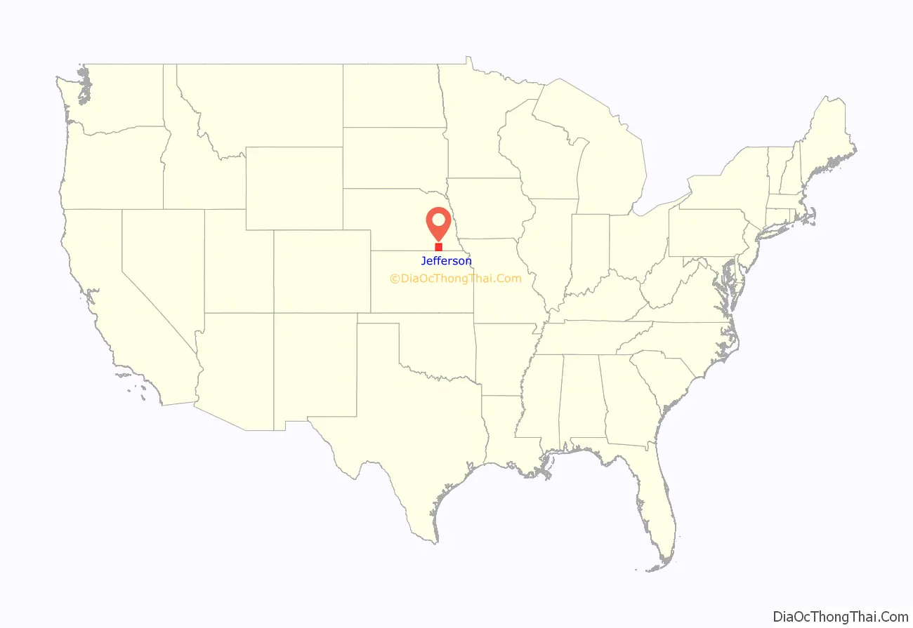
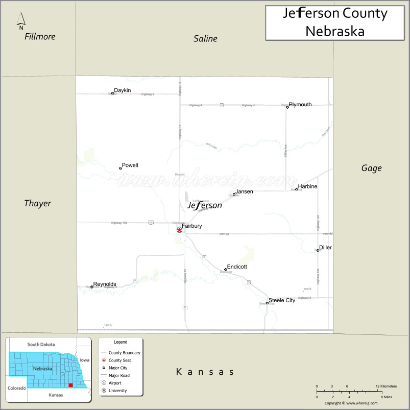
Jefferson County location map. Where is Jefferson County?
History
Jefferson County was founded on 26 January 1856, and its governing structure was organized in 1864. It was named for Thomas Jefferson, third president of the United States.
In 2010, the Keystone-Cushing Pipeline (Phase II) was constructed south out of Jefferson County.
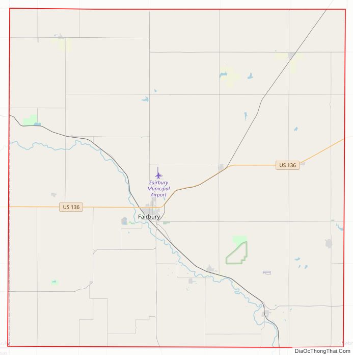
Jefferson County Road Map
Geography
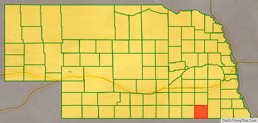
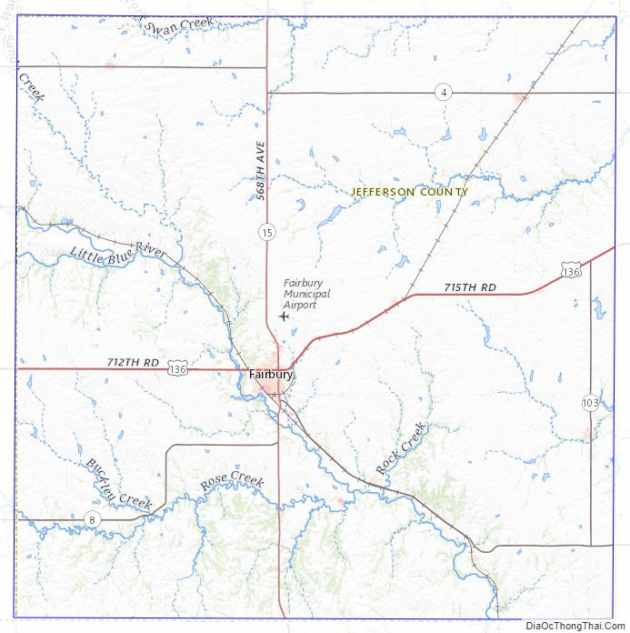
Jefferson County lies on the south line of Nebraska. Its south boundary line abuts the north boundary line of the state of Kansas. The terrain of Jefferson County consists of low rolling hills, whose leveled tops are largely used for agriculture. The Little Blue River flows southeastward through the southwestern-middle of the county. The county has a total area of 576 square miles (1,490 km), of which 570 square miles (1,500 km) is land and 5.5 square miles (14 km) (1.0%) is water.
Major highways
- U.S. Highway 136
- Nebraska Highway 4
- Nebraska Highway 8
- Nebraska Highway 15
- Nebraska Highway 103
Protected areas
- Alexandria State Recreation Area
- Buckley State Recreation Area
- Rock Creek Station State Historical Park
- Rock Glen State Wildlife Management Area
Adjacent counties
- Saline County – north
- Gage County – east
- Washington County, Kansas – south
- Republic County, Kansas – southwest
- Thayer County – west
- Fillmore County – northwest
Jefferson County Topographic Map
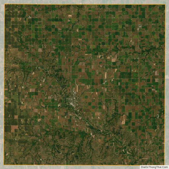
Jefferson County Satellite Map
Jefferson County Outline Map