| Name: | Republic County |
|---|---|
| FIPS code: | 20-157 |
| State: | Kansas |
| Founded: | February 27, 1860 |
| Named for: | Republican River |
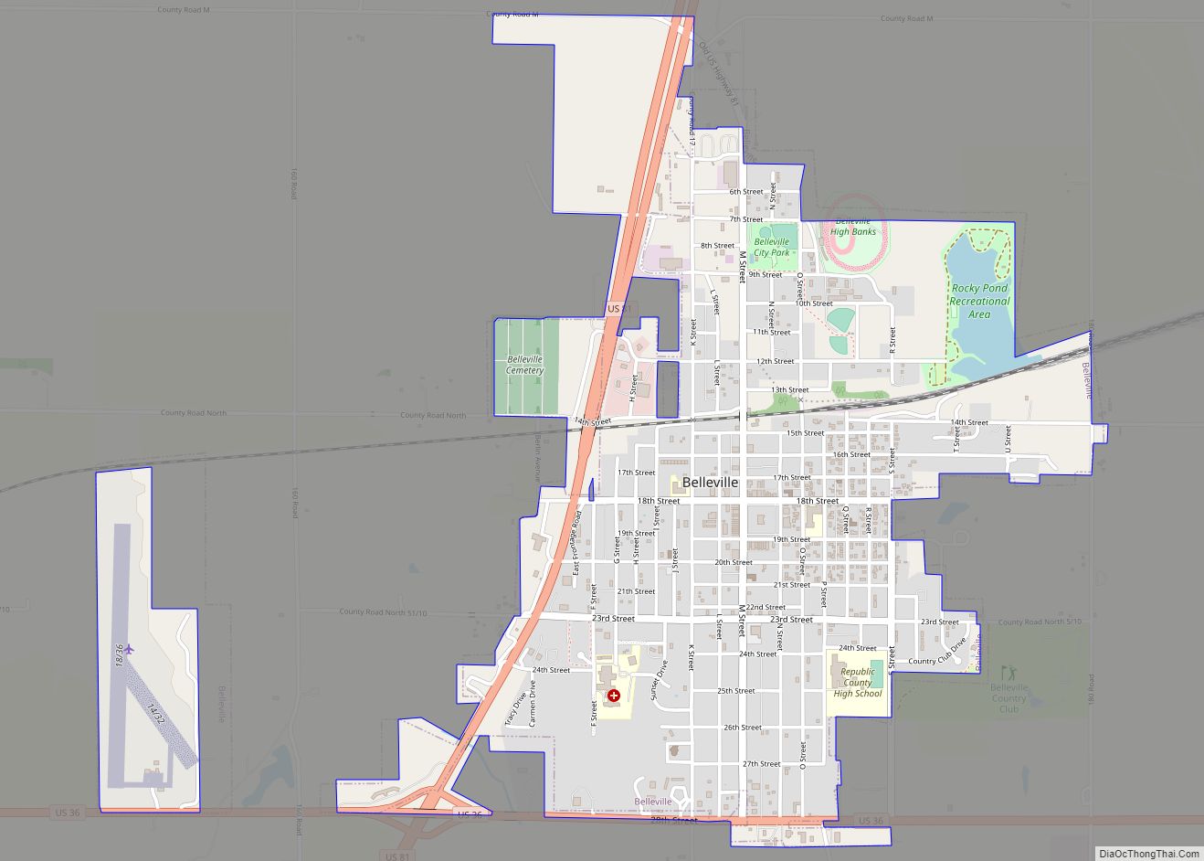
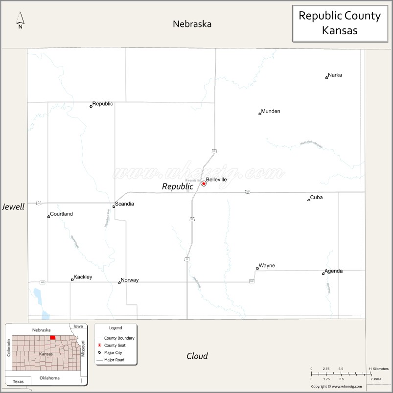
| Seat: | Belleville |
| Largest city: | Belleville |
| Total Area: | 720.31 sq mi (1,865.6 km²) |
| Land Area: | 716.38 sq mi (1,855.4 km²) |
| Total Population: | 4,674 |
| Population Density: | 6.5/sq mi (2.5/km²) |
| Time zone: | UTC−6 (Central) |
| Summer Time Zone (DST): | UTC−5 (CDT) |
| Website: | republiccounty.org |
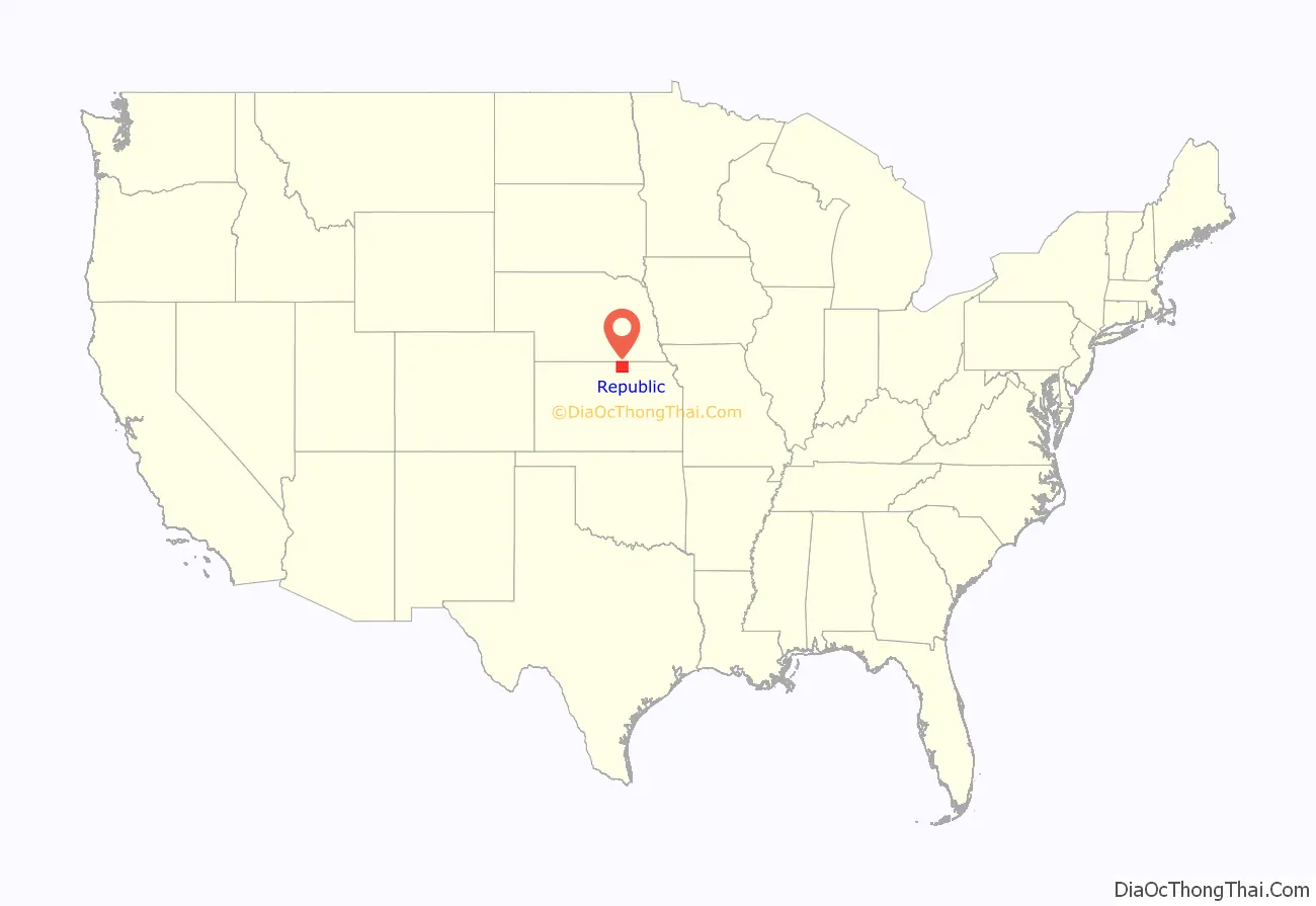
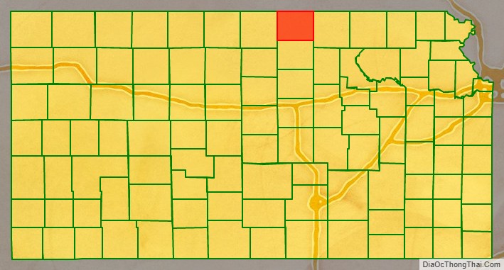
Republic County location map. Where is Republic County?
History
Early history
For millennia, the Great Plains of North America were inhabited by nomadic Native Americans. From the 16th to 18th centuries, the Kingdom of France claimed ownership of large parts of North America. In 1762, after the French and Indian War, France ceded New France to Spain, by the Treaty of Fontainebleau.
19th century
In 1802, Spain returned most of the land to France, keeping title to about 7,500 square miles. In 1803, the land that included modern day Kansas was acquired by the United States from France as part of the 828,000 square mile Louisiana Purchase.
Prior to the arrival of settlers of European ancestry, the area was inhabited by Indian tribes including the Pawnee, Iowa, and Otoe. One should also consider that other nomadic Indian tribes pursuing the buffalo, including the Arapaho, Cheyenne, Comanche, Kansa, Kiowa, Osage, and Wichita, may have made the area their home at one time or another.
In 1854, under the provisions of the Kansas–Nebraska Act, the Kansas Territory was organized. In 1860, Republic County was established by the Kansas legislature. And, in 1861, Kansas became the 34th U.S. state. The county is named for the Republican River, which enters at the northwestern corner of the county, flowing slightly east of south, and leaving the county about eight miles east of the southwest corner.
Daniel and Conrad Myers were the first settlers of European ancestry, arriving in February 1861. By 1868, Republic County was holding elections. Daniel Myers was elected judge of the Probate court and Conrad Myers to a seat on the County commission. At the election in 1869, the permanent location of the county seat was voted on with the following result: Belleville 59 and New Scandinavia 42, with a couple of votes going to other locations.
Following the Civil War and during the latter half of the 19th century, Belleville and the surrounding area became a destination for European immigrants, notably from Sweden and Bohemia (now Czech Republic).
In 1887, Atchison, Topeka and Santa Fe Railway built a branch line from Neva (3 miles west of Strong City) to Superior, Nebraska. This branch line connected Strong City, Neva, Rockland, Diamond Springs, Burdick, Lost Springs, Jacobs, Hope, Navarre, Enterprise, Abilene, Talmage, Manchester, Longford, Oak Hill, Miltonvale, Aurora, Huscher, Concordia, Kackley, Courtland, Webber, Superior. At some point, the line from Neva to Lost Springs was pulled but the right of way has not been abandoned. This branch line was originally called “Strong City and Superior line” but later the name was shortened to the “Strong City line”.
In 1996, the Atchison, Topeka and Santa Fe Railway merged with Burlington Northern Railroad and was renamed the BNSF Railway, although most locals still refer to this railroad as the “Santa Fe”.
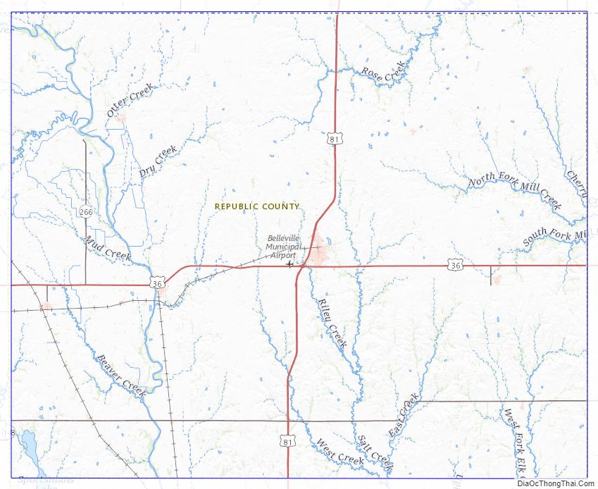
Republic County Road Map
Geography
According to the 2000 census, the county has a total area of 720.31 square miles (1,865.6 km), of which 716.38 square miles (1,855.4 km) (or 99.45%) is land and 3.93 square miles (10.2 km) (or 0.55%) is water.
Adjacent counties
- Thayer County, Nebraska (north)
- Jefferson County, Nebraska (northeast)
- Washington County (east)
- Cloud County (south)
- Jewell County (west)
- Nuckolls County, Nebraska (northwest)
Republic County Topographic Map
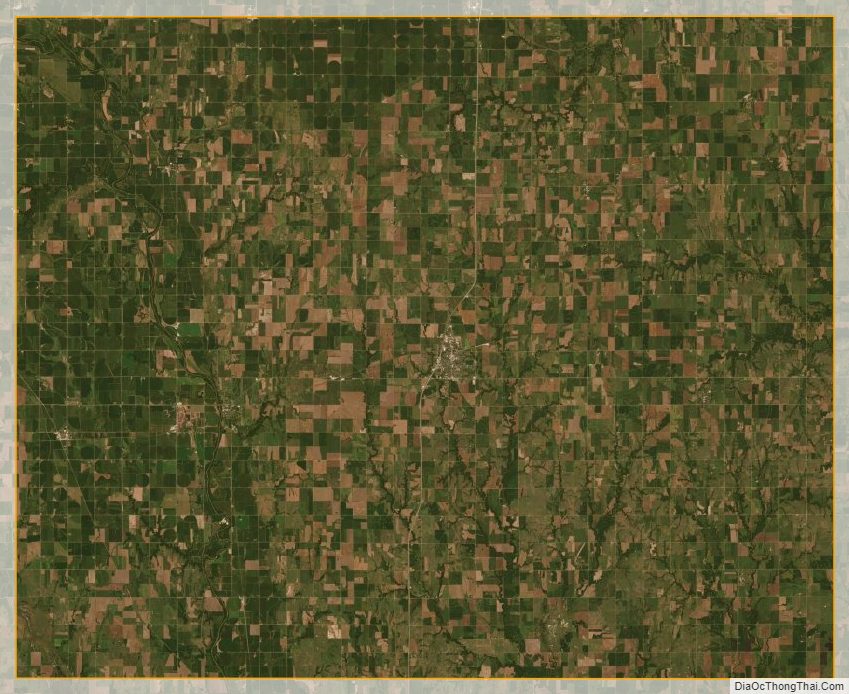
Republic County Satellite Map
Republic County Outline Map