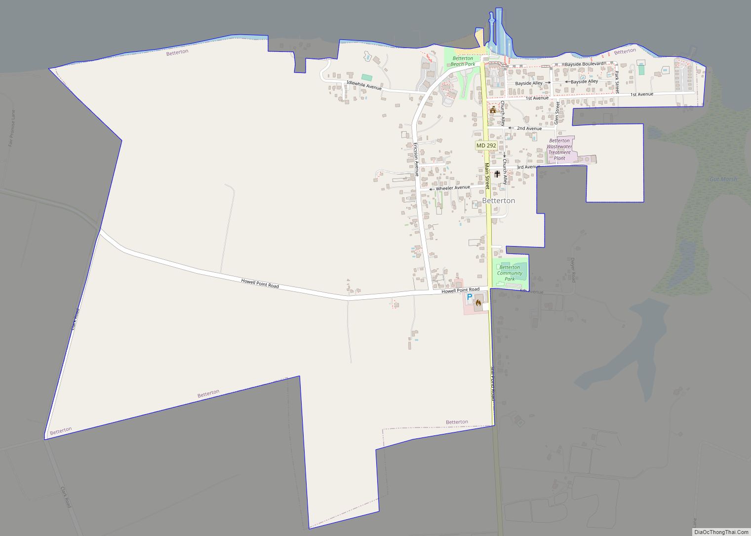
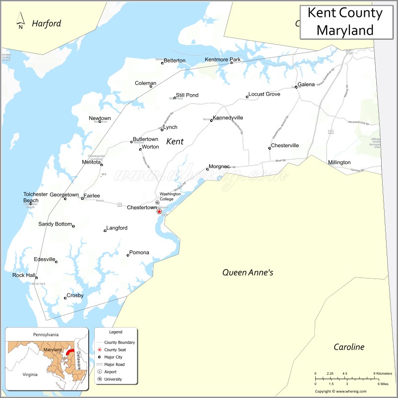
Kent County is a county located in the U.S. state of Maryland. As of the 2020 census, its population was 19,198, making it the least populous county in Maryland. Its county seat is Chestertown. The county was named for the county of Kent in England.
The county is located on the Eastern Shore of Maryland. Along with Caroline and Garrett Counties, it is one of three counties in the state that are not part of a metropolitan statistical area.
| Name: | Kent County |
|---|---|
| FIPS code: | 24-029 |
| State: | Maryland |
| Founded: | December 30, 1642 |
| Named for: | Kent |
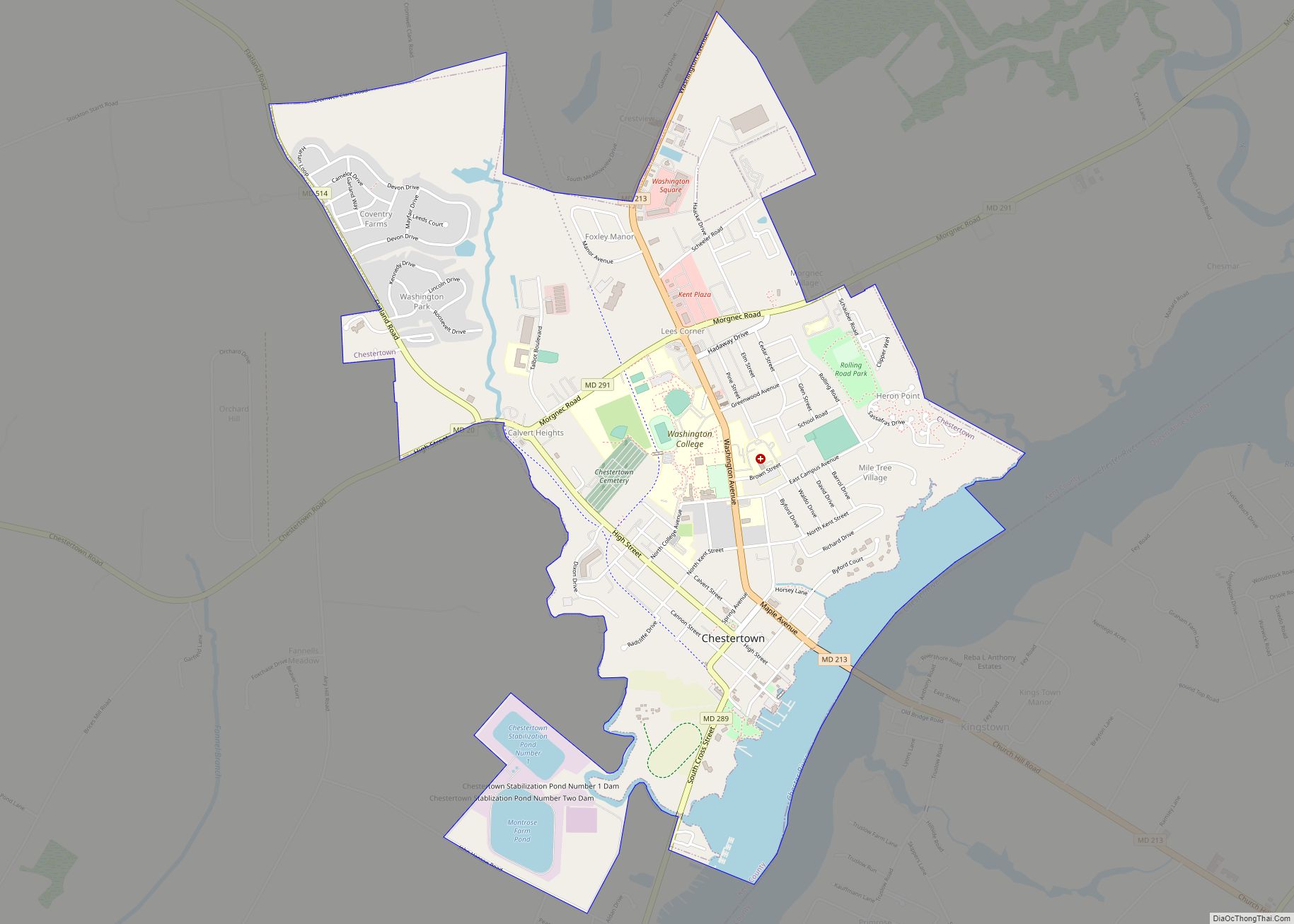
| Seat: | Chestertown |
| Largest town: | Chestertown |
| Total Area: | 413 sq mi (1,070 km²) |
| Land Area: | 277 sq mi (720 km²) |
| Total Population: | 19,198 |
| Population Density: | 46/sq mi (18/km²) |
| Time zone: | UTC−5 (Eastern) |
| Summer Time Zone (DST): | UTC−4 (EDT) |
| Website: | www.kentcounty.com |
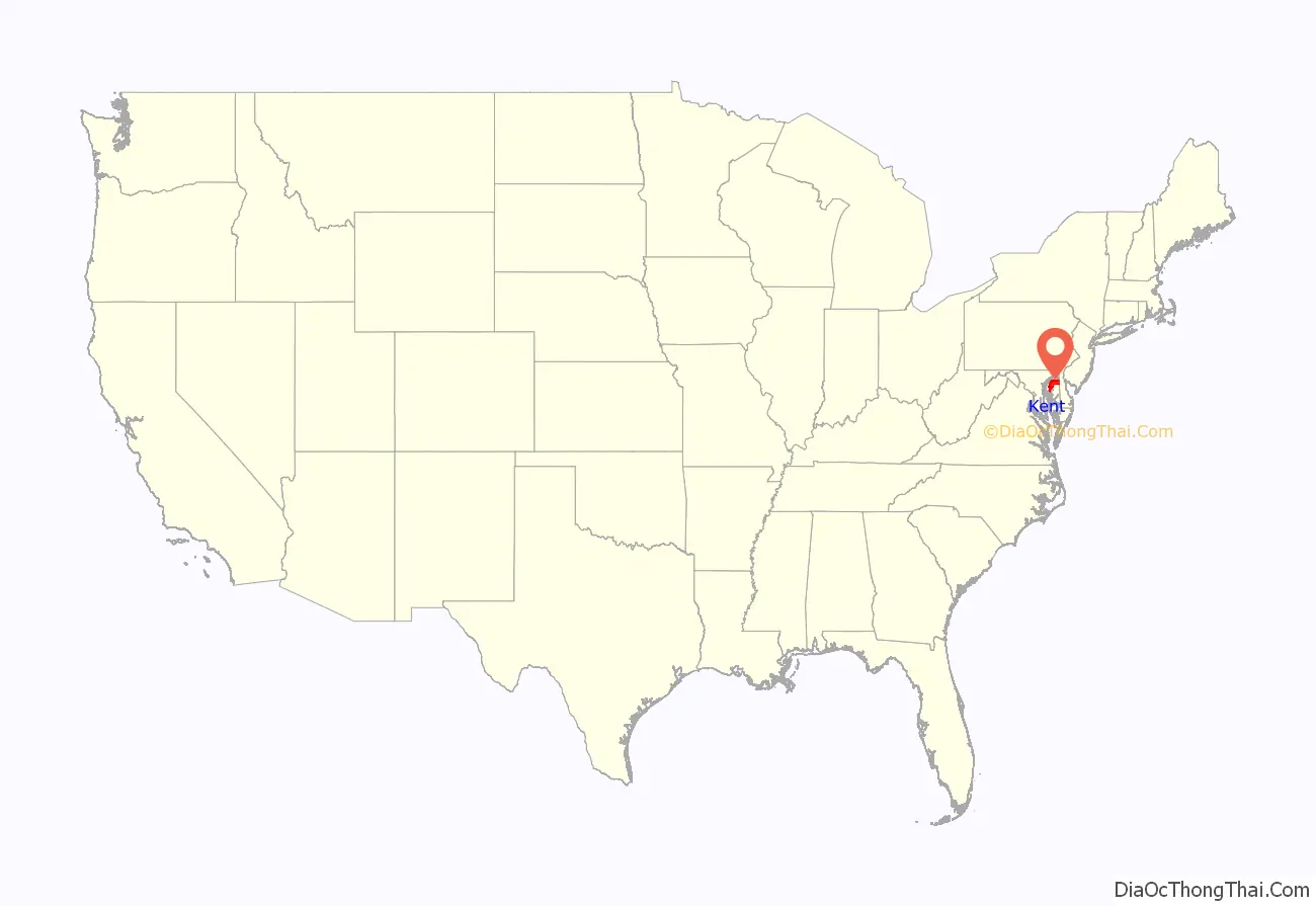
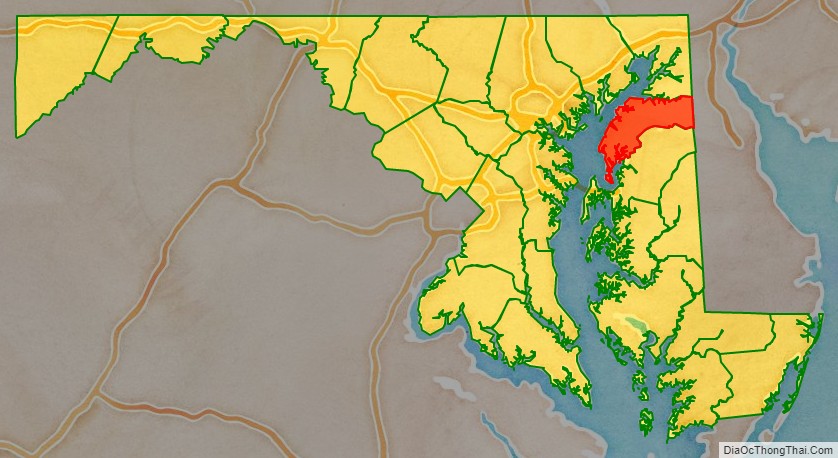
Kent County location map. Where is Kent County?
History
In 1608, Captain John Smith explored and mapped a portion of what is now Kent County. In 1642, the governor and council appointed commissioners for the Isle and County of Kent. This act appears to have led to the establishment of Kent County. In 1675, the first county seat was New Yarmouth. The seat was briefly moved upriver to Quaker Neck, and then to the site of modern Chestertown. Before the American Revolution, New Town on Chester, now Chestertown, was a port entry for the counties of Cecil, Kent, and Queen Anne’s.
The county has a number of properties which are listed on the National Register of Historic Places.
Kent County was the mean center of U.S. population in the 1790 census.
In 1793, the county had its first newspaper, called Apollo, or Chestertown Spy. It was succeeded by local papers such as the Chestertown Gazette.
Washington College, the oldest college in Maryland, is located in Kent County. It was the first college charted in the nation after the Declaration of Independence and was founded by William Smith in 1782. George Washington authorized the use of his name and gave the college its largest gift of 50 guineas. Washington served on the Board of Visitors and Governors for five years. The college has been host to four United States Presidents, including George Washington, Harry S. Truman, Dwight D. Eisenhower, and Franklin D. Roosevelt. All were awarded honorary degrees from the college.
War of 1812
The War of 1812 was the only war Kent County experienced on its soil. During the spring and summer of both 1813 and 1814, residents faced immediate threats from the enemy as the British terrorized the Chesapeake, looting and burning farms and towns. Kent County citizens and local militia were tested and stood their ground with ingenuity and determination during the burning of Georgetown, the rescue of the Kitty Knight House and the Battle of Caulk’s Field.
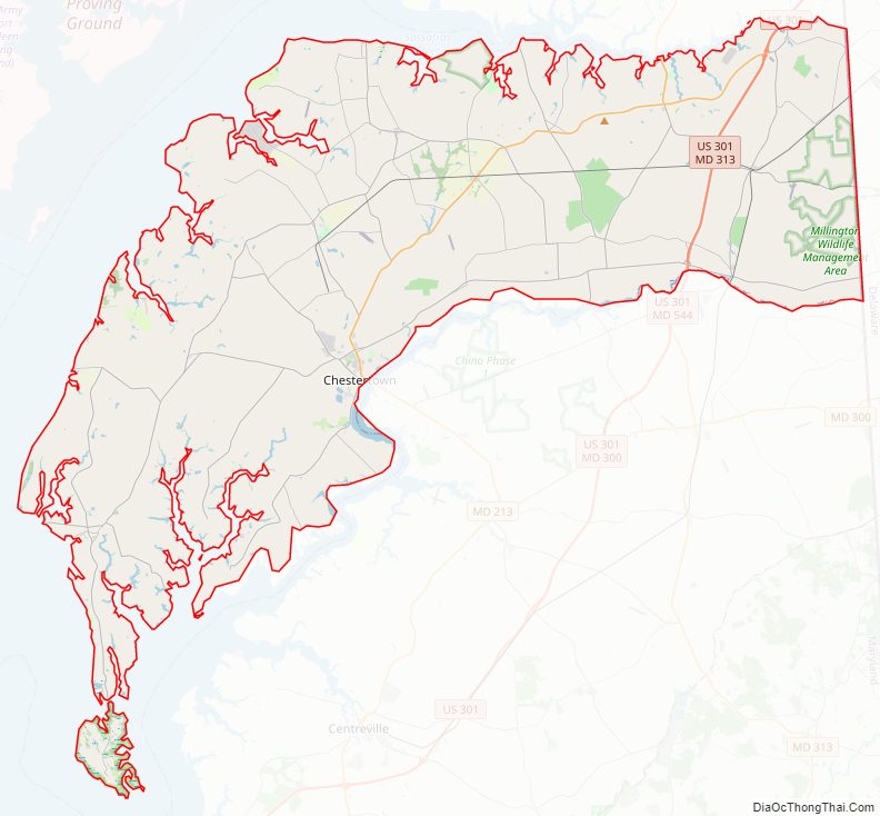
Kent County Road Map
Geography
According to the U.S. Census Bureau, the county has a total area of 413 square miles (1,070 km), of which 277 square miles (720 km) is land and 136 square miles (350 km) (33%) is water.
According to the Maryland Geological Survey, the highest point in Kent County is 102 ft above sea level, approximately 2.25 mi west of Coleman’s Corner (shown on maps as “Coleman”), just northeast of the mouth of Still Pond Creek.
Kent County has a 209-mile shoreline, including Eastern Neck Island. The Chesapeake Bay is on the west, Sassafras River on the north, and the Chester River on the south. The eastern border with Delaware is part of the Mason–Dixon line.
Adjacent counties
- Cecil County (north)
- New Castle County, Delaware (northeast)
- Harford County (northwest)
- Queen Anne’s County (south)
- Kent County, Delaware (southeast)
- Anne Arundel County (southwest)
- Baltimore County (west)
National protected area
- Eastern Neck National Wildlife Refuge
Major highways
U.S. Route 301 is the major highway passing through Kent County.
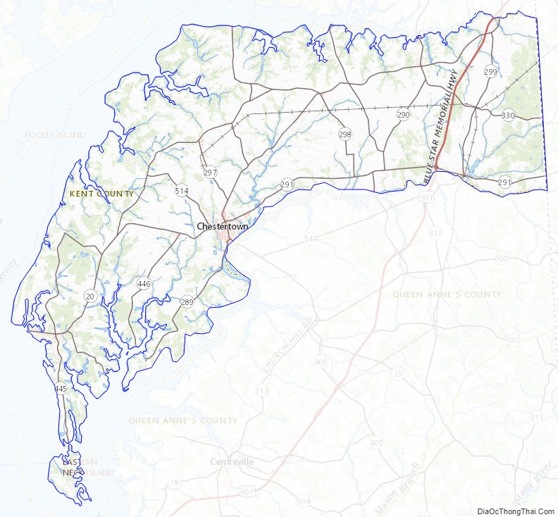
Kent County Topographic Map
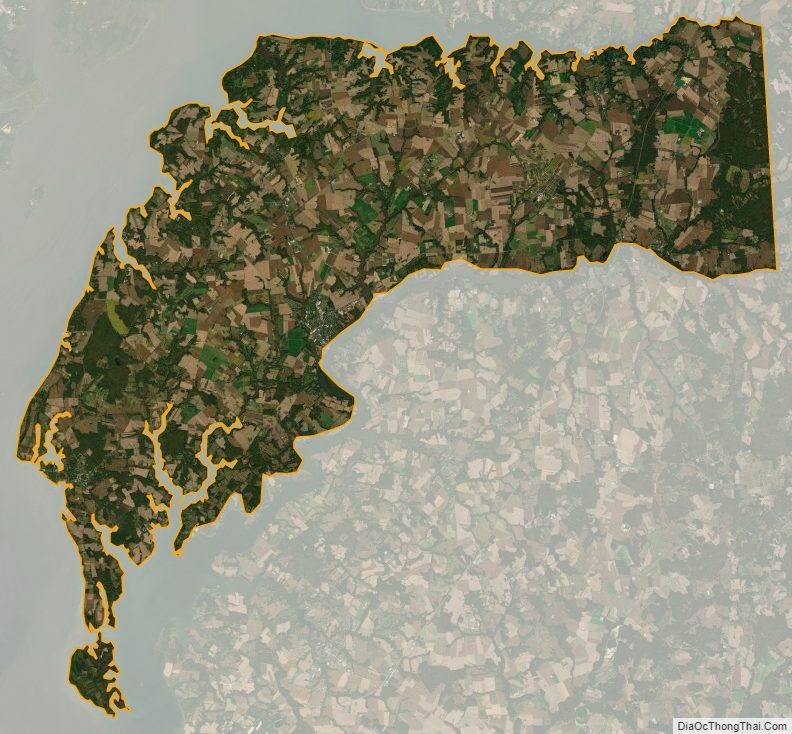
Kent County Satellite Map
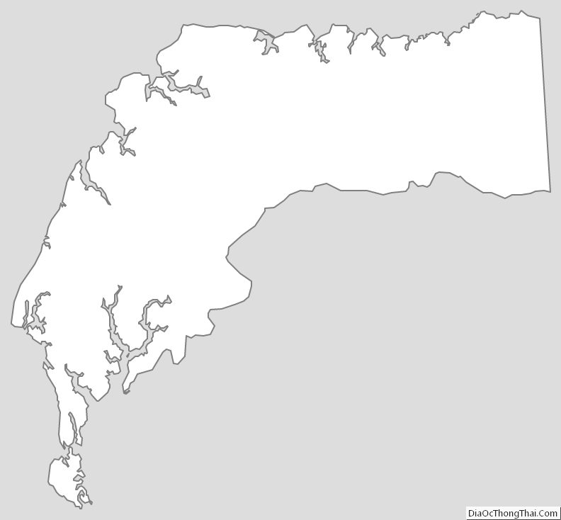
Kent County Outline Map