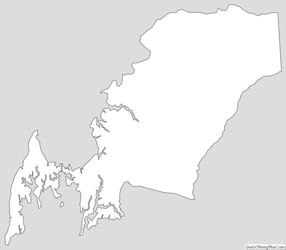
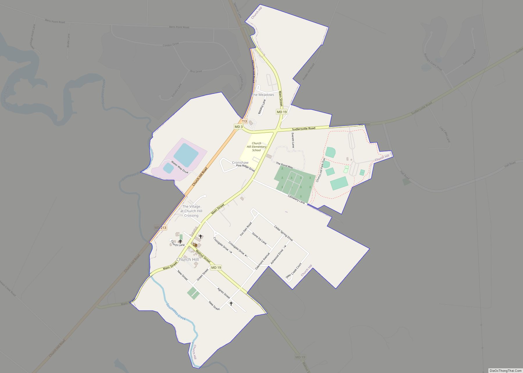
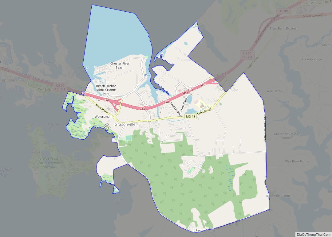
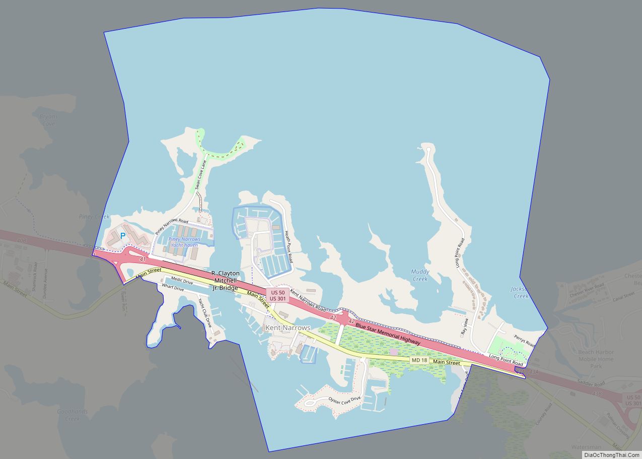
Queen Anne’s County is located on the Eastern Shore of the U.S. state of Maryland. As of the 2020 census, the population was 49,874. Its county seat and most populous municipality is Centreville. The census-designated place of Stevensville is the county’s most populous place. The county is named for Queen Anne of Great Britain, who reigned when the county was established in 1706 during the colonial period.
Queen Anne’s County is included in the Baltimore-Columbia-Towson, MD Metropolitan Statistical Area, which is also included in the Washington-Baltimore-Arlington, DC-MD-VA-WV-PA Combined Statistical Area, and is the easternmost in both. The Chesapeake Bay Bridge connects Kent Island in Queen Anne’s County to Anne Arundel County across the Chesapeake Bay.
The American Discovery Trail runs through the county.
| Name: | Queen Anne’s County |
|---|---|
| FIPS code: | 24-035 |
| State: | Maryland |
| Founded: | 1706 |
| Named for: | Queen Anne |
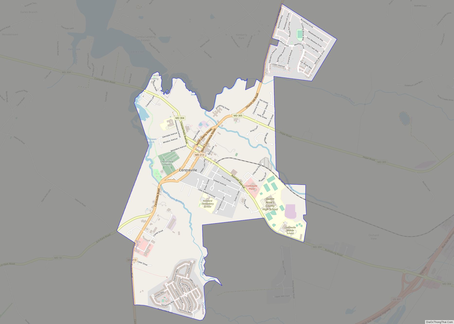
| Seat: | Centreville |
| Total Area: | 511 sq mi (1,320 km²) |
| Land Area: | 372 sq mi (960 km²) |
| Total Population: | 49,874 |
| Population Density: | 98/sq mi (38/km²) |
| Time zone: | UTC−5 (Eastern) |
| Summer Time Zone (DST): | UTC−4 (EDT) |
| Website: | www.qac.org |
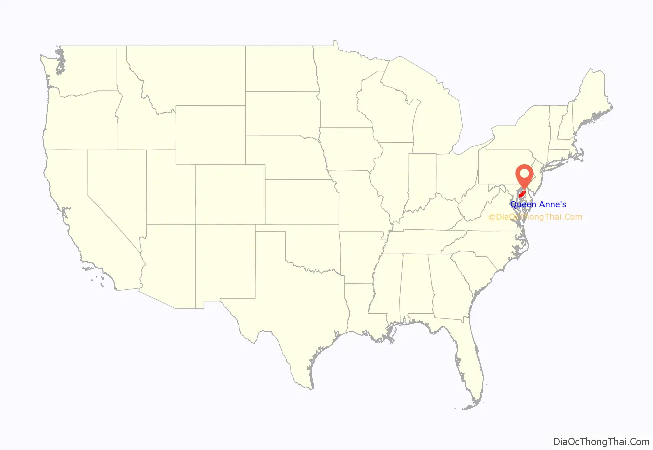
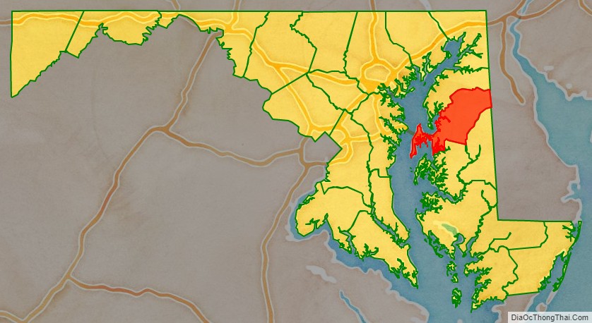
Queen Anne’s County location map. Where is Queen Anne’s County?
History
Queen Anne’s County has two hundred sixty-five miles of waterfront, much of that being the shores of Kent Island, which stands out from the eastern shore of the Chesapeake Bay. From the waters of this county, watermen have harvested oysters, crabs, and terrapin. Migrating waterfowl overwinter here, and hunting for geese and ducks has been an important part of the county’s history. The first Anglo-European settlement in Maryland was on Kent Island on August 21, 1631, and included twenty-five settlers in a manor house, a fort, and other buildings. The settlement was referred to as Winston’s Island. The first houses were built similar to log cabins. The county has a number of properties on the National Register of Historic Places, but nothing remains of this original settlement. Stevensville, earlier known as Broad Creek, is one of the oldest towns still existing.
Queen Anne’s County was organized under a sheriff in 1706, bounded by Talbot, Kent, and Dorchester counties. In 1713, Queen Anne’s County became an English postal district; the sheriff was also appointed as the postmaster and would travel to Annapolis, Maryland by boat across the Chesapeake Bay to obtain mail. In 1773 a part of Queen Anne’s County, together with a portion of Dorchester County, was taken to form Caroline County. The county now is enclosed by Talbot, Caroline, and Kent counties, as well as the Chesapeake Bay.
By the time of Independence, the county had several churches, a government, school, and a postal system. It was developed for agriculture, and enslaved African Americans worked the fields of plantations. Tobacco was an early commodity crop but it exhausted the soil. By the Revolution, some planters were converting to mixed agriculture, which was less labor intensive. They sold excess slaves in the domestic trade to the developing cotton plantations of the Deep South.
In 1876, Queen Anne’s County had the first printed independent paper called the Maryland Citizen. A bank was located in Centreville; the Centreville National Bank is still operating. A railway was constructed here in 1868; it operated from Baltimore, passing around the top of the Chesapeake Bay down to Queenstown, and connected with other railroads that continued east into Delaware as far as Rehoboth, and southward to the Eastern Shore of Virginia.
In the 20th century, Queen Anne’s County was the home of Jimmie Foxx, who was elected to the Baseball Hall of Fame. A statue and small park commemorate him in Sudlersville, where Foxx grew up.
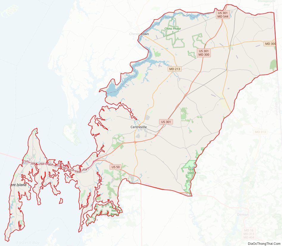
Queen Anne’s County Road Map

Geography
According to the U.S. Census Bureau, the county has a total area of 511 square miles (1,320 km), of which 372 square miles (960 km) is land and 139 square miles (360 km) (27%) is water.
Adjacent counties
- Kent County (north)
- Kent County, Delaware (east)
- Talbot County (south)
- Caroline County (southeast)
- Anne Arundel County (west)
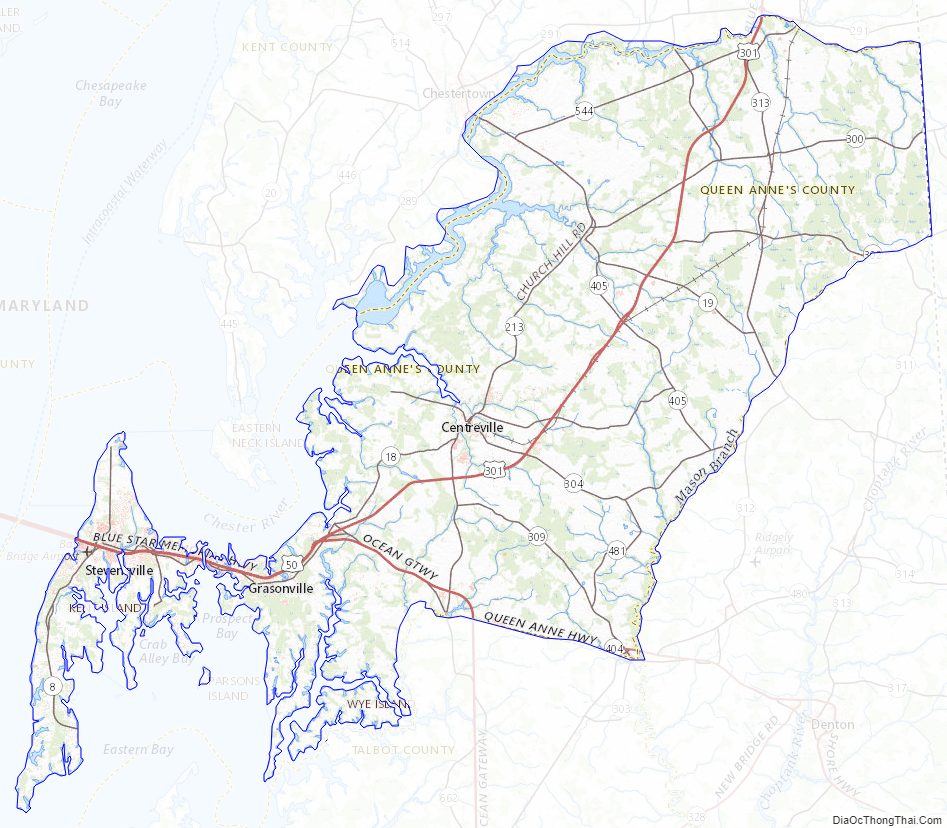
Major highways
U.S. Route 50 and U.S. Route 301 are the major highways serving Queen Anne’s County.
Queen Anne’s County Topographic Map
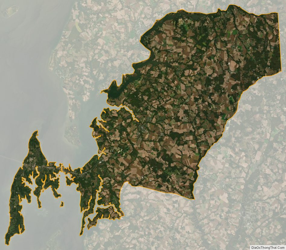
Queen Anne’s County Satellite Map
Queen Anne’s County Outline Map