Kenton County is a county located in the northern part of the Commonwealth of Kentucky. As of the 2020 census, the population was 169,064, making it the third most populous county in Kentucky (behind Jefferson County and Fayette County). Its county seats are Covington and Independence. It was, until November 24, 2010, the only county in Kentucky to have two legally recognized county seats. The county was formed in 1840 and is named for Simon Kenton, a frontiersman notable in the early history of the state.
Kenton County, with Boone and Campbell Counties, is part of the Northern Kentucky metro area, and is included in the Cincinnati-Middletown, OH-KY-IN Metropolitan Statistical Area.
| Name: | Kenton County |
|---|---|
| FIPS code: | 21-117 |
| State: | Kentucky |
| Founded: | 1840 |
| Named for: | Simon Kenton |
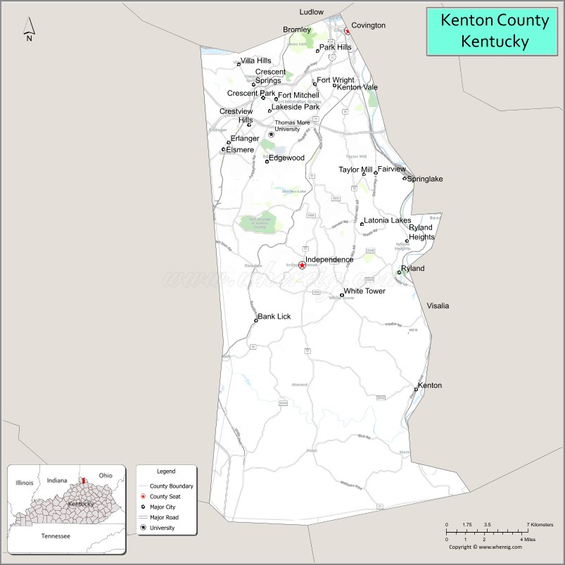
| Seat: | Covington and Independence |
| Largest city: | Covington |
| Total Area: | 164 sq mi (420 km²) |
| Land Area: | 160 sq mi (400 km²) |
| Total Population: | 169,064 |
| Population Density: | 1,000/sq mi (400/km²) |
| Time zone: | UTC−5 (Eastern) |
| Summer Time Zone (DST): | UTC−4 (EDT) |
| Website: | www.kentoncounty.org |
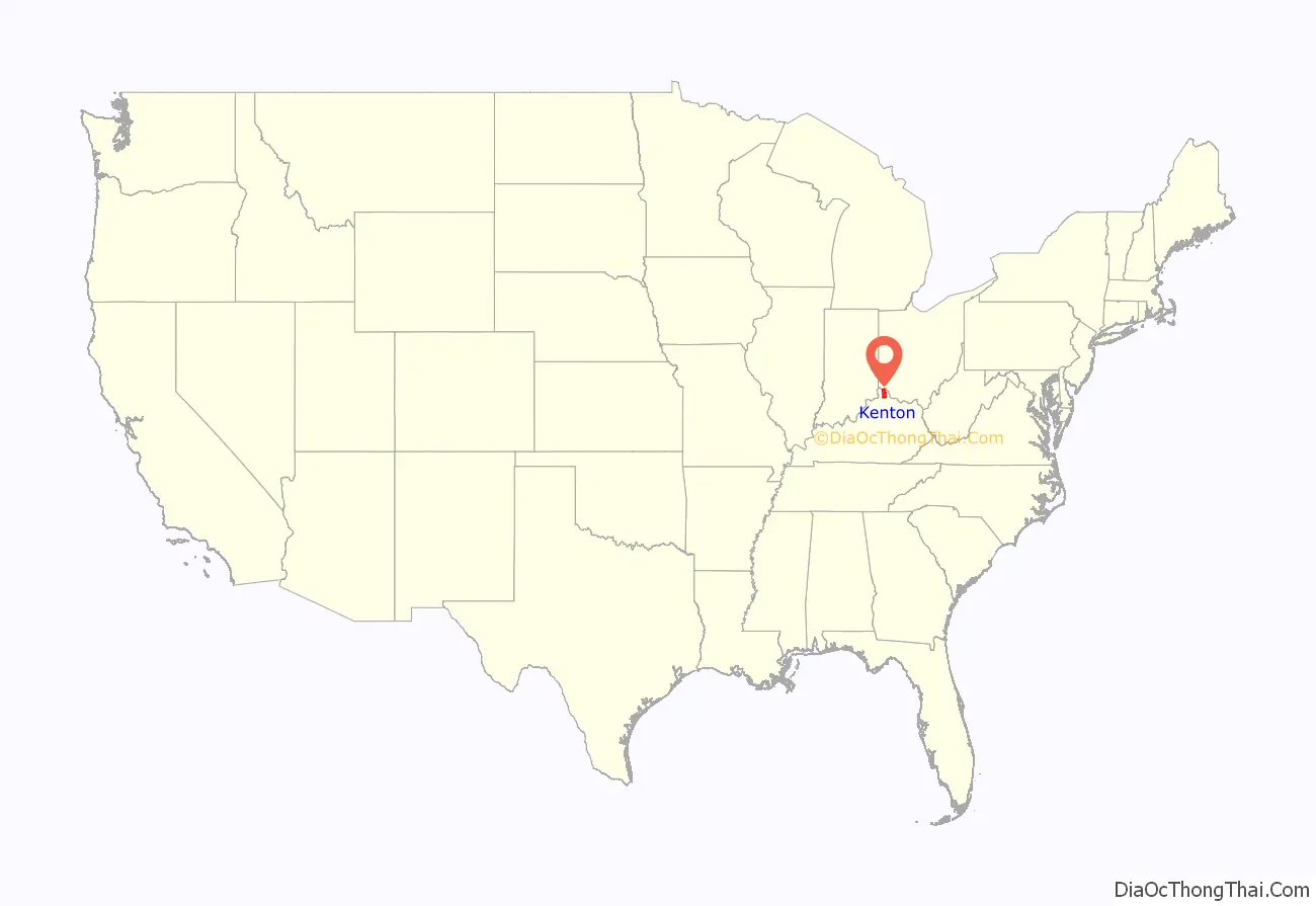
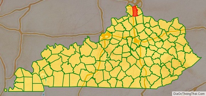
Kenton County location map. Where is Kenton County?
History
Kenton County was established on January 29, 1840, from land given by Campbell County. It was named in honor of Simon Kenton, a pioneer of Kentucky.
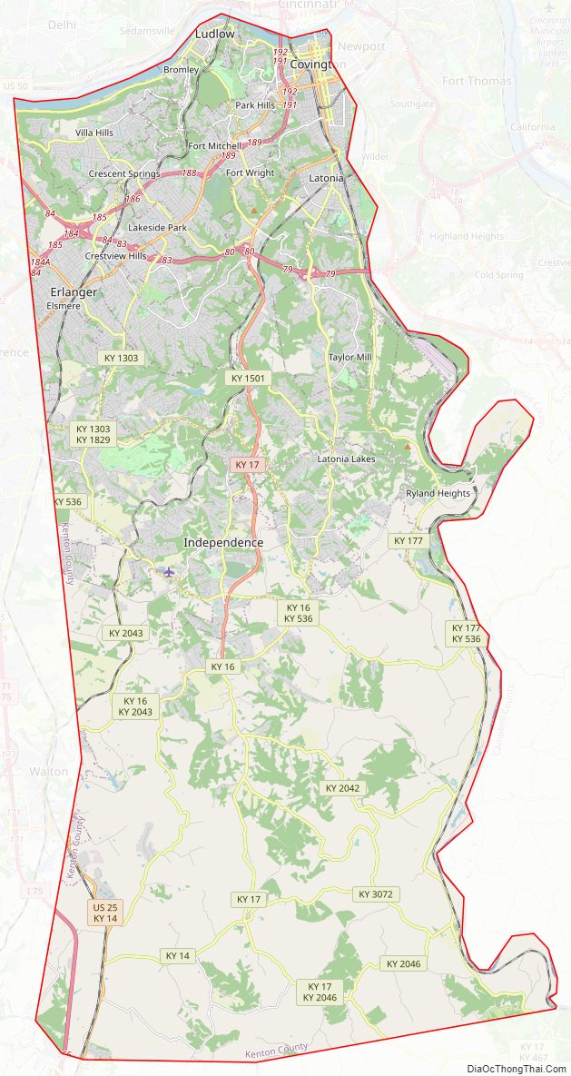
Kenton County Road Map
Geography
According to the United States Census Bureau, the county has a total area of 164 square miles (420 km), of which 160 square miles (410 km) is land and 4.1 square miles (11 km) (2.5%) is water. The county is located at the confluence of the Licking River and Ohio River, in the outer Bluegrass area of the Bluegrass region of the state. The elevation in the county ranges from 455 feet (139 m) to 960 feet (293 m) above sea level.
Adjacent counties
- Hamilton County, Ohio (north)
- Campbell County (east)
- Pendleton County (southeast)
- Grant County (southwest)
- Boone County (west)
Major highways
- I-71
- I-75
- I-275
- US 25
- KY 8
- KY 14
- KY 16
- KY 17
- KY 177
- KY 371
- KY 536
- KY 1072
- KY 1303
- KY 1486
- KY 1829
- KY 2042
- KY 2043
- KY 2046
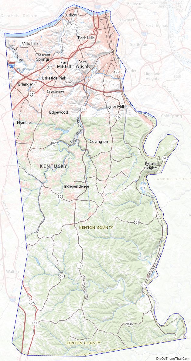
Kenton County Topographic Map
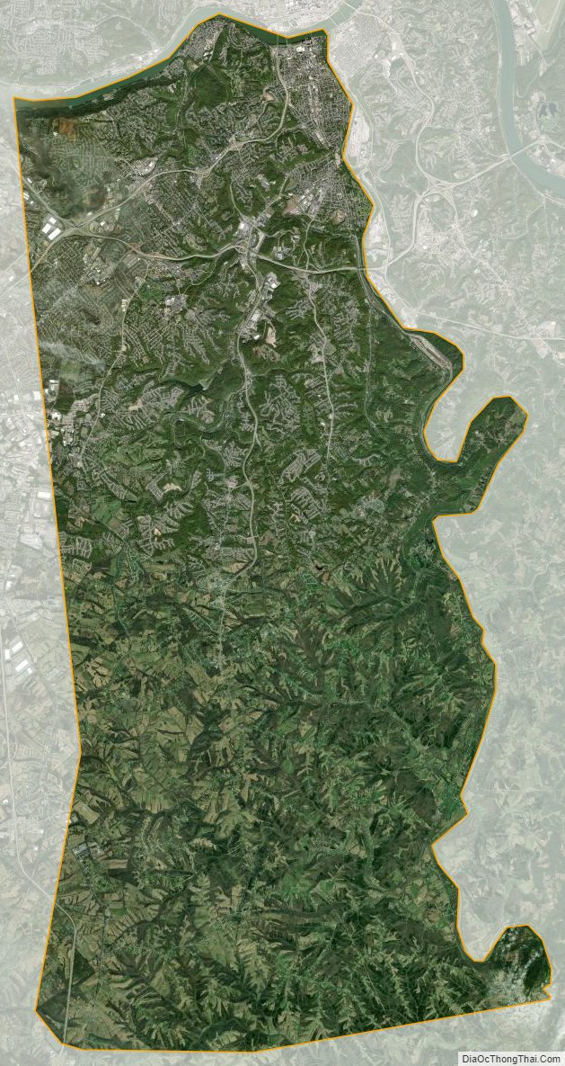
Kenton County Satellite Map
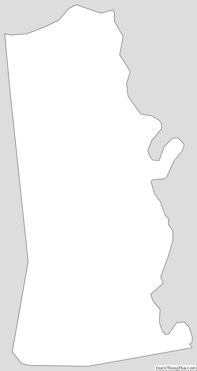
Kenton County Outline Map