Independence is a home rule-class city in Kenton County, Kentucky, in the United States. It is one of its county’s two seats of government. The population was 24,757 at the time of the 2010 U.S. census, up from 14,982 at the 2000 census. It is the third largest city in Northern Kentucky after Covington and Florence.
The current mayor of Independence is Chris Reinersman.
| Name: | Independence city |
|---|---|
| LSAD Code: | 25 |
| LSAD Description: | city (suffix) |
| State: | Kentucky |
| County: | Kenton County |
| Elevation: | 899 ft (274 m) |
| Total Area: | 17.80 sq mi (46.11 km²) |
| Land Area: | 17.56 sq mi (45.49 km²) |
| Water Area: | 0.24 sq mi (0.62 km²) |
| Total Population: | 28,676 |
| Population Density: | 1,632.66/sq mi (630.36/km²) |
| ZIP code: | 41051 |
| Area code: | 859 |
| FIPS code: | 2139142 |
| GNISfeature ID: | 0494900 |
| Website: | www.cityofindependence.org |
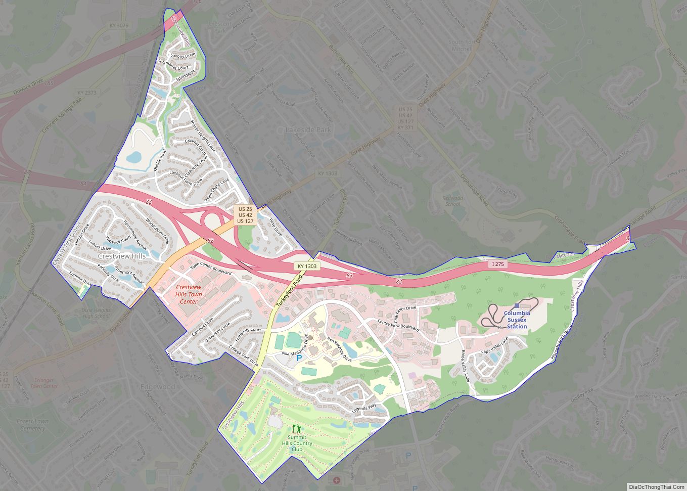
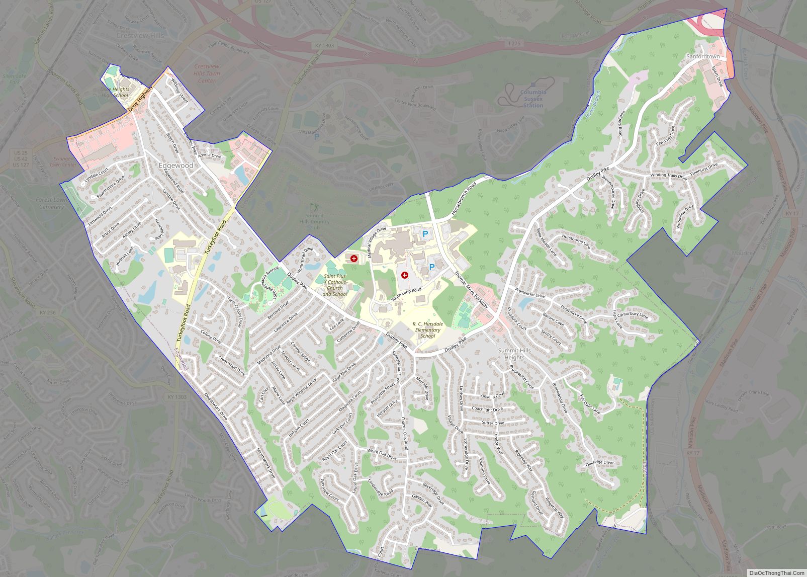
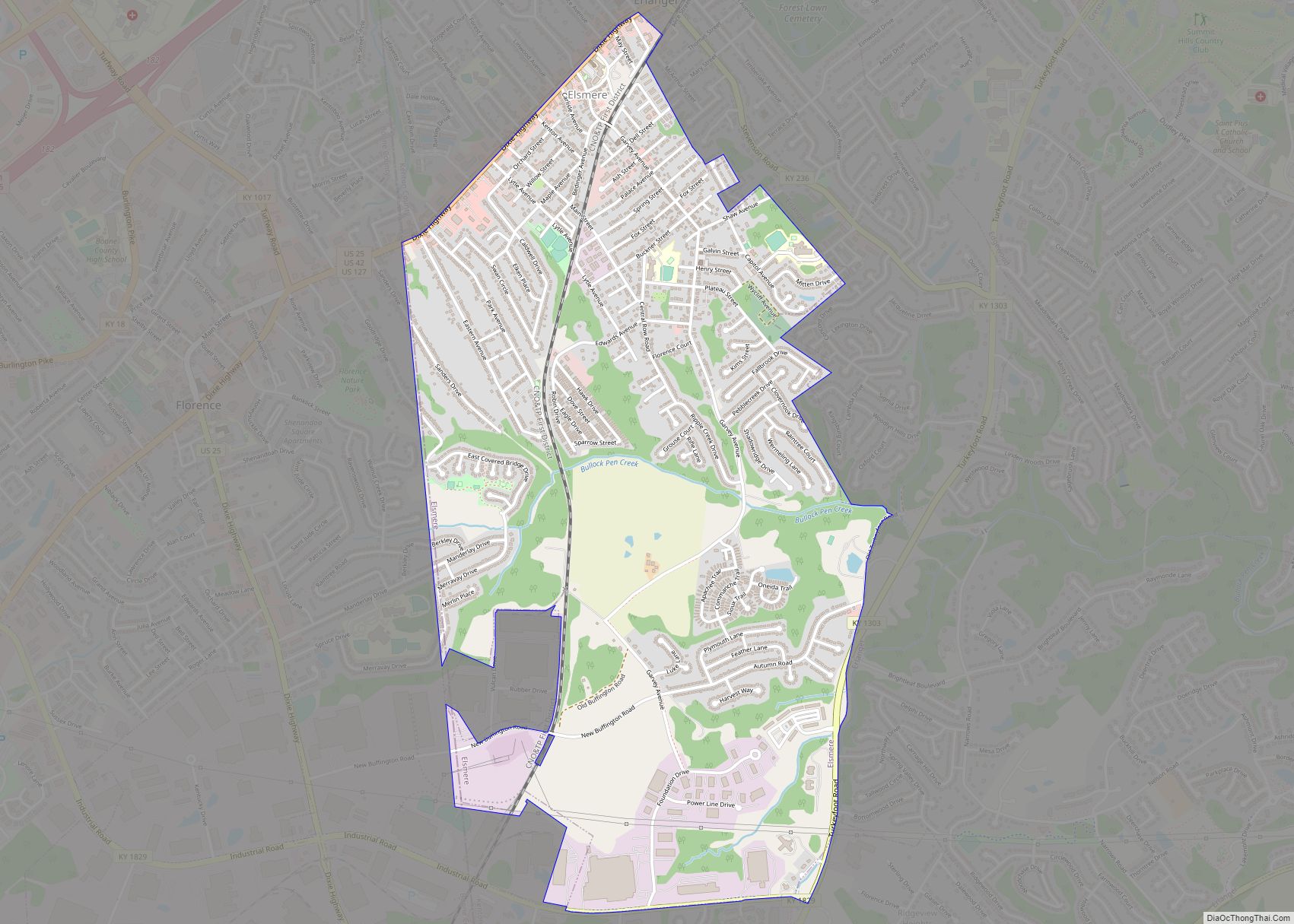
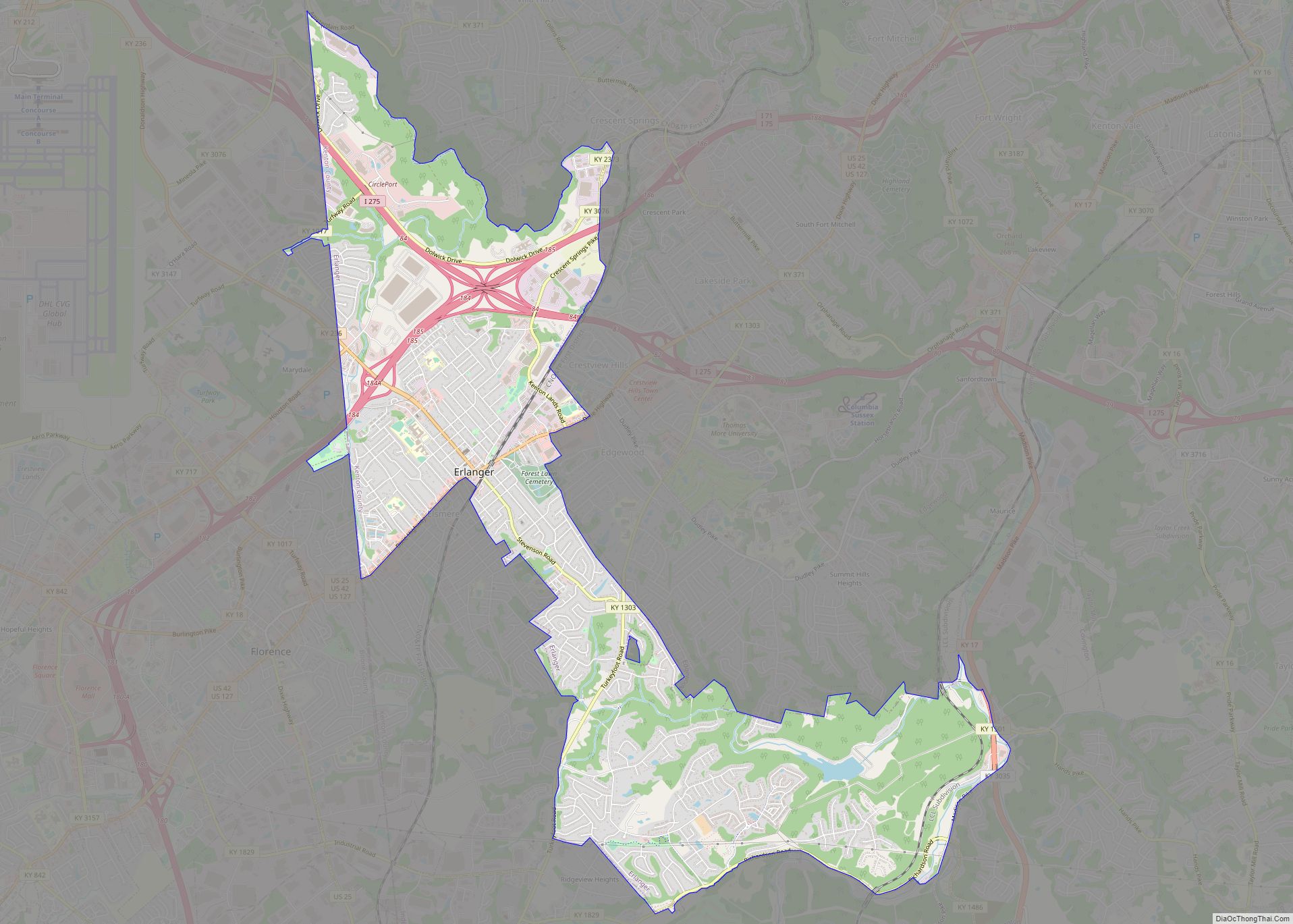
Online Interactive Map
Click on ![]() to view map in "full screen" mode.
to view map in "full screen" mode.
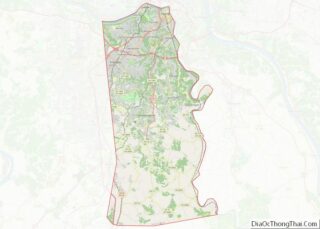
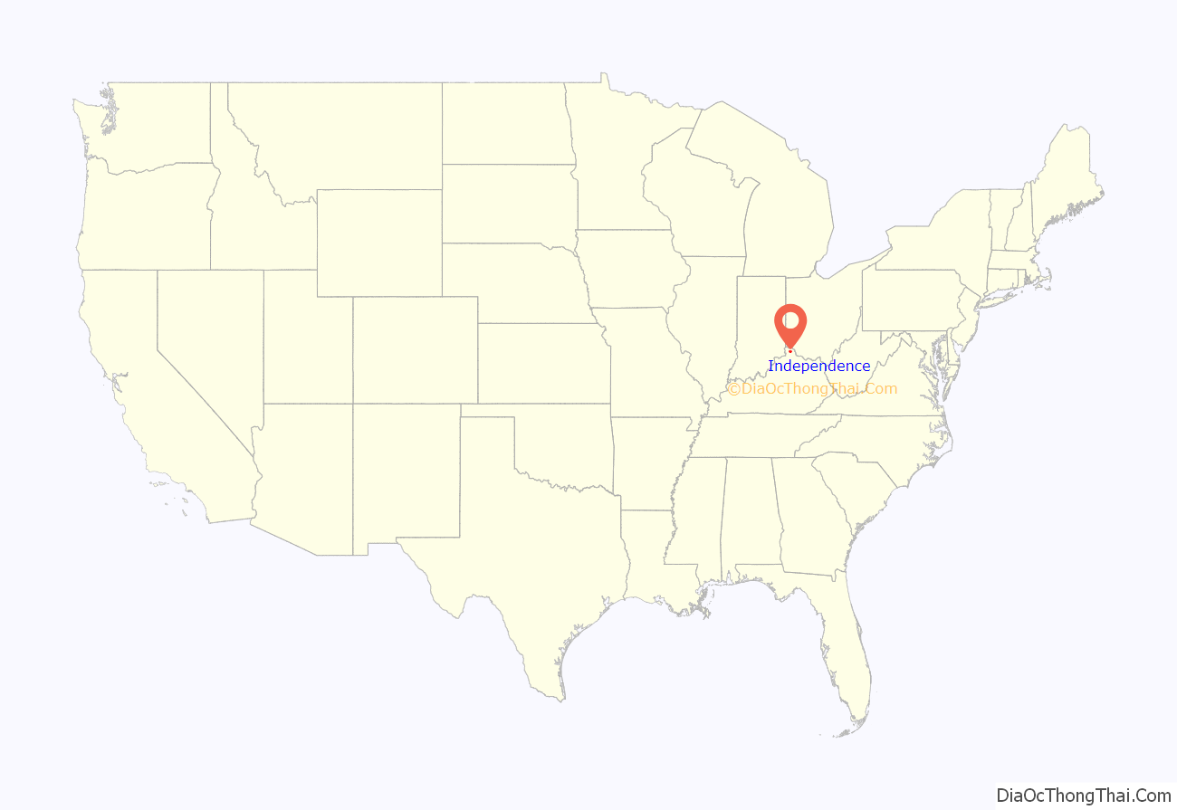
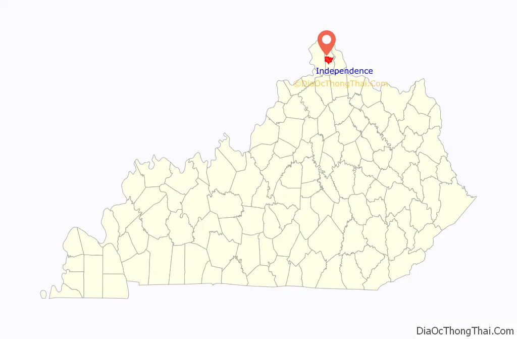
Independence location map. Where is Independence city?
History
The area post office was established by Isaac Everett in 1837 as “Everett’s Creek”; in 1838, this was changed to “Crews Creek” (presumably after the present Cruises Creek that is south of the city); in 1839, Thomas Hordern renamed it “Bagby”.
In 1840, Kenton was formed from Campbell and Boone counties. Local farmer John McCollum donated a site at the center of the new county to be its seat of governance, and the name “Independence” was chosen to honor the liberation of locals from Campbell County. The post office was renamed the same year. Quickly settled, Independence was formally incorporated by the state assembly in 1842.
Because the majority of the county’s population resided along the Ohio River, Independence was eventually obliged to share its status as county seat with the larger city of Covington, a situation later repeated in Campbell County between the centrally-located Alexandria and the larger, riverside Newport.
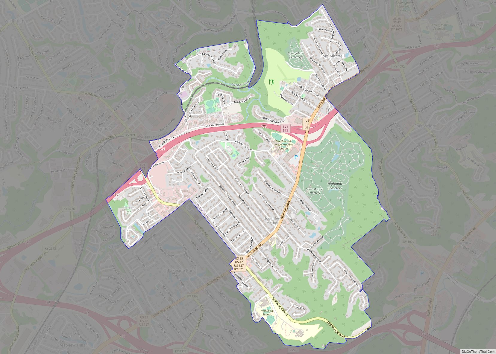
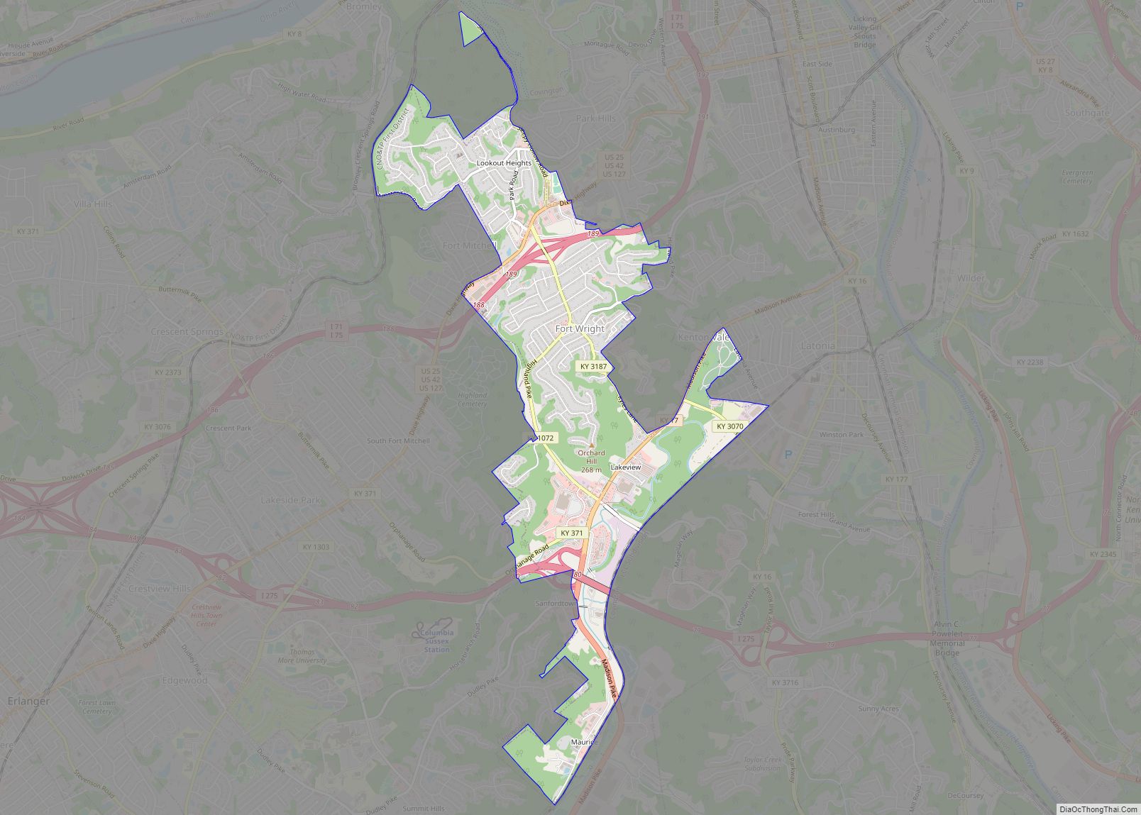
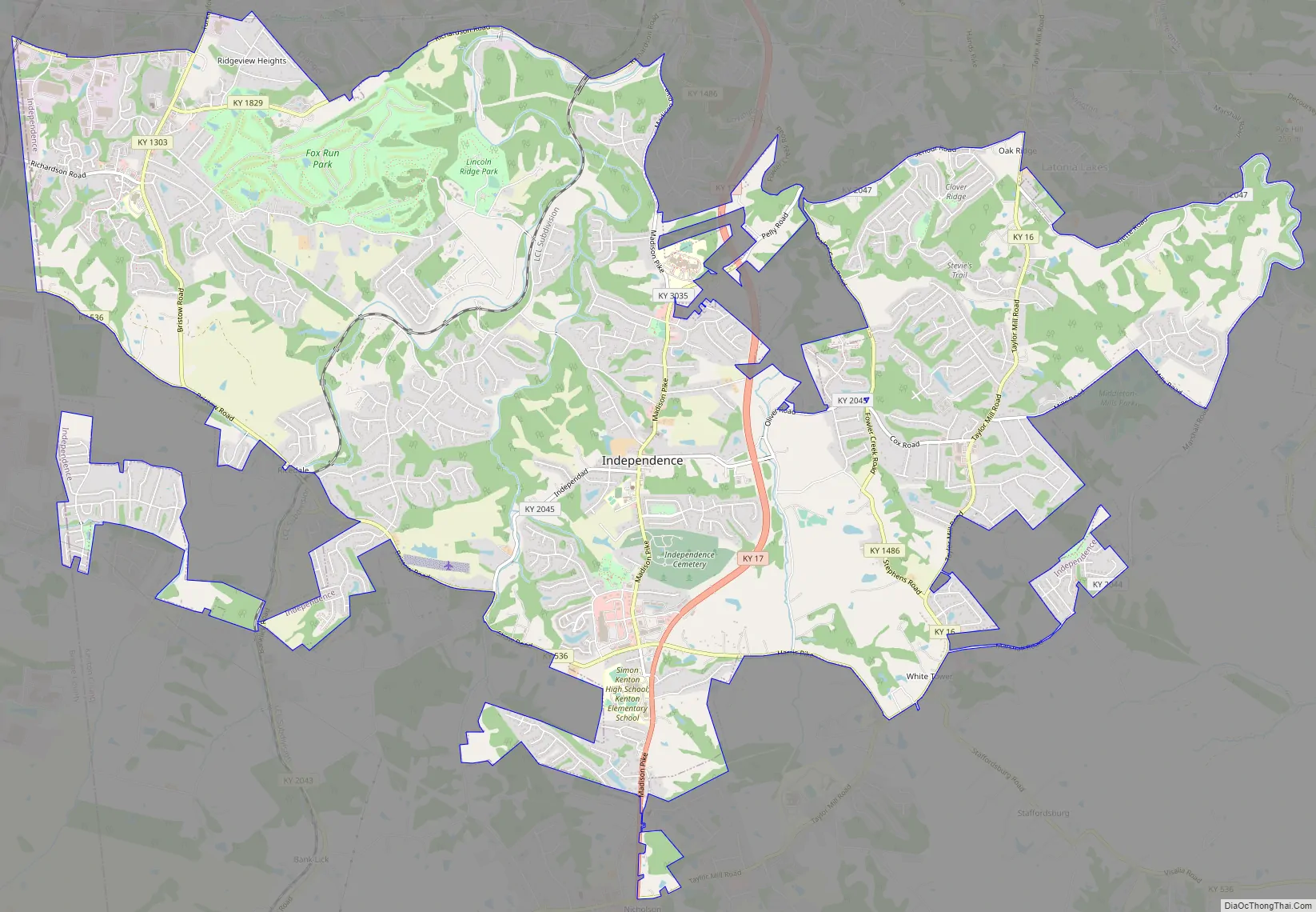
Independence Road Map
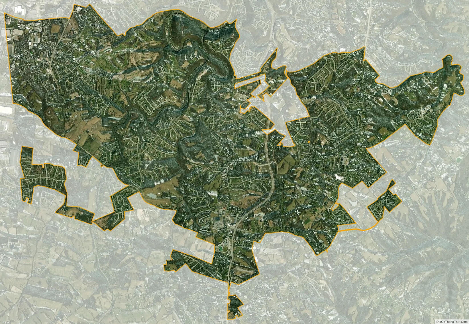
Independence city Satellite Map
Geography
Independence is located in central Kenton County at 38°57′13″N 84°32′49″W / 38.95361°N 84.54694°W / 38.95361; -84.54694 (38.953668, -84.546990). It is bordered to the northwest by Elsmere, to the north by Erlanger and Covington, and to the northeast by Ryland Heights. The western border of Independence follows the Boone County line, and the city of Florence in Boone County borders the far northwestern end of Independence.
The original center of Independence is in the southeast part of the city, along Madison Pike. Kentucky Route 17, a four-lane divided highway, passes just east of the city center, leading north 11 miles (18 km) to downtown Covington and south 27 miles (43 km) to Falmouth.
According to the United States Census Bureau, Independence has a total area of 17.70 square miles (45.83 km), of which 17.44 square miles (45.16 km) are land and 0.26 square miles (0.67 km), or 1.45%, are water. Banklick Creek, a northeast-flowing tributary of the Licking River, is the largest stream in the city, draining most of the area within the city limits.
See also
Map of Kentucky State and its subdivision:- Adair
- Allen
- Anderson
- Ballard
- Barren
- Bath
- Bell
- Boone
- Bourbon
- Boyd
- Boyle
- Bracken
- Breathitt
- Breckinridge
- Bullitt
- Butler
- Caldwell
- Calloway
- Campbell
- Carlisle
- Carroll
- Carter
- Casey
- Christian
- Clark
- Clay
- Clinton
- Crittenden
- Cumberland
- Daviess
- Edmonson
- Elliott
- Estill
- Fayette
- Fleming
- Floyd
- Franklin
- Fulton
- Gallatin
- Garrard
- Grant
- Graves
- Grayson
- Green
- Greenup
- Hancock
- Hardin
- Harlan
- Harrison
- Hart
- Henderson
- Henry
- Hickman
- Hopkins
- Jackson
- Jefferson
- Jessamine
- Johnson
- Kenton
- Knott
- Knox
- Larue
- Laurel
- Lawrence
- Lee
- Leslie
- Letcher
- Lewis
- Lincoln
- Livingston
- Logan
- Lyon
- Madison
- Magoffin
- Marion
- Marshall
- Martin
- Mason
- McCracken
- McCreary
- McLean
- Meade
- Menifee
- Mercer
- Metcalfe
- Monroe
- Montgomery
- Morgan
- Muhlenberg
- Nelson
- Nicholas
- Ohio
- Oldham
- Owen
- Owsley
- Pendleton
- Perry
- Pike
- Powell
- Pulaski
- Robertson
- Rockcastle
- Rowan
- Russell
- Scott
- Shelby
- Simpson
- Spencer
- Taylor
- Todd
- Trigg
- Trimble
- Union
- Warren
- Washington
- Wayne
- Webster
- Whitley
- Wolfe
- Woodford
- Alabama
- Alaska
- Arizona
- Arkansas
- California
- Colorado
- Connecticut
- Delaware
- District of Columbia
- Florida
- Georgia
- Hawaii
- Idaho
- Illinois
- Indiana
- Iowa
- Kansas
- Kentucky
- Louisiana
- Maine
- Maryland
- Massachusetts
- Michigan
- Minnesota
- Mississippi
- Missouri
- Montana
- Nebraska
- Nevada
- New Hampshire
- New Jersey
- New Mexico
- New York
- North Carolina
- North Dakota
- Ohio
- Oklahoma
- Oregon
- Pennsylvania
- Rhode Island
- South Carolina
- South Dakota
- Tennessee
- Texas
- Utah
- Vermont
- Virginia
- Washington
- West Virginia
- Wisconsin
- Wyoming