Kosciusko County (/ˌkɒskiˈʌskoʊ/ KOS-kee-US-koh) is a county in the U.S. state of Indiana. At the 2020 United States Census, its population was 80,240. The county seat (and only incorporated city) is Warsaw.
The county was organized in 1836. It was named for the Polish general Tadeusz Kościuszko who served in the American Revolutionary War and then returned to Poland. The county seat is named for Warsaw, the capital of Poland.
| Name: | Kosciusko County |
|---|---|
| FIPS code: | 18-085 |
| State: | Indiana |
| Founded: | 7 February 1835 (authorized) 1836 (organized) |
| Named for: | Tadeusz Kościuszko |
| Seat: | Warsaw |
| Largest city: | Warsaw |
| Total Area: | 554.39 sq mi (1,435.9 km²) |
| Land Area: | 531.38 sq mi (1,376.3 km²) |
| Total Population: | 80,240 |
| Population Density: | 140/sq mi (56/km²) |
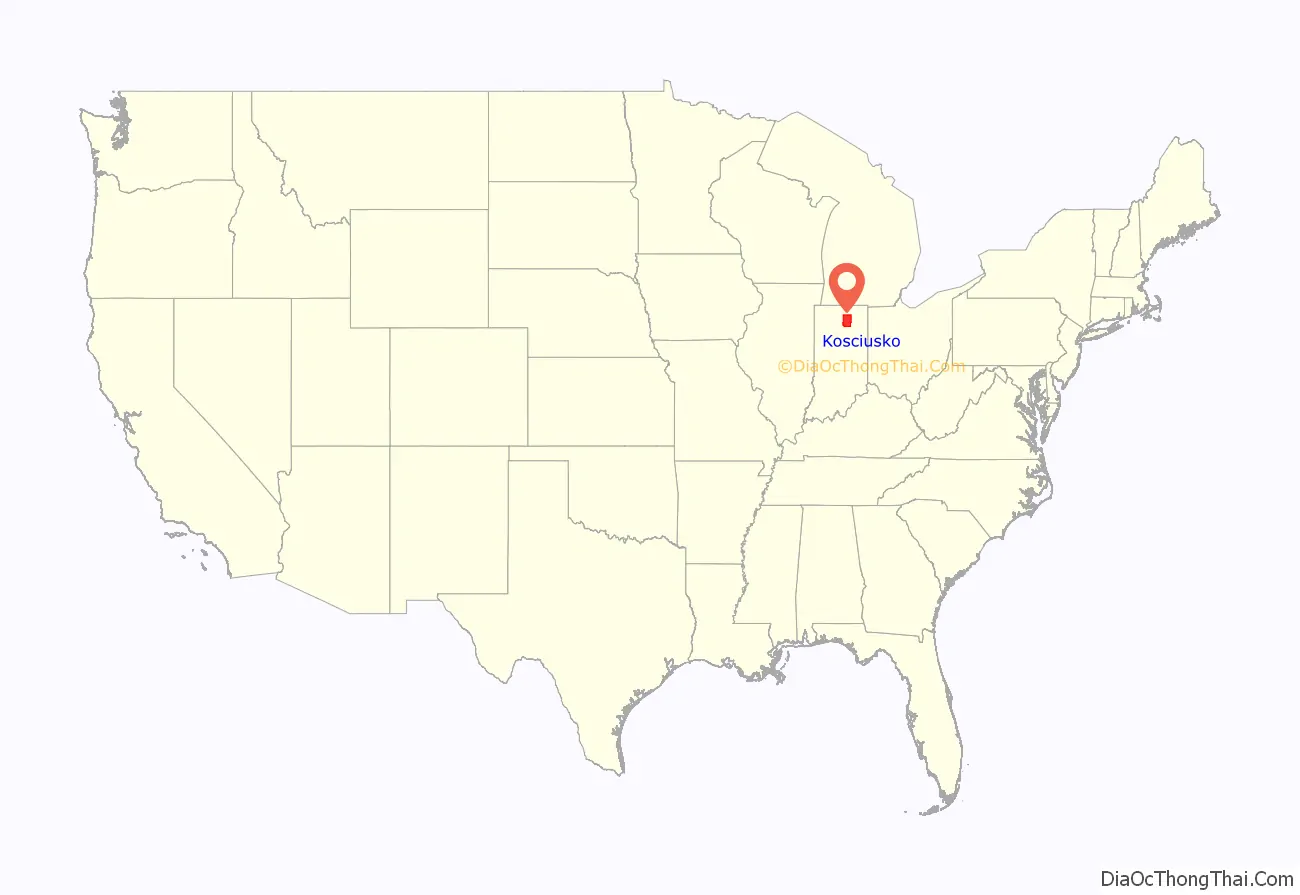
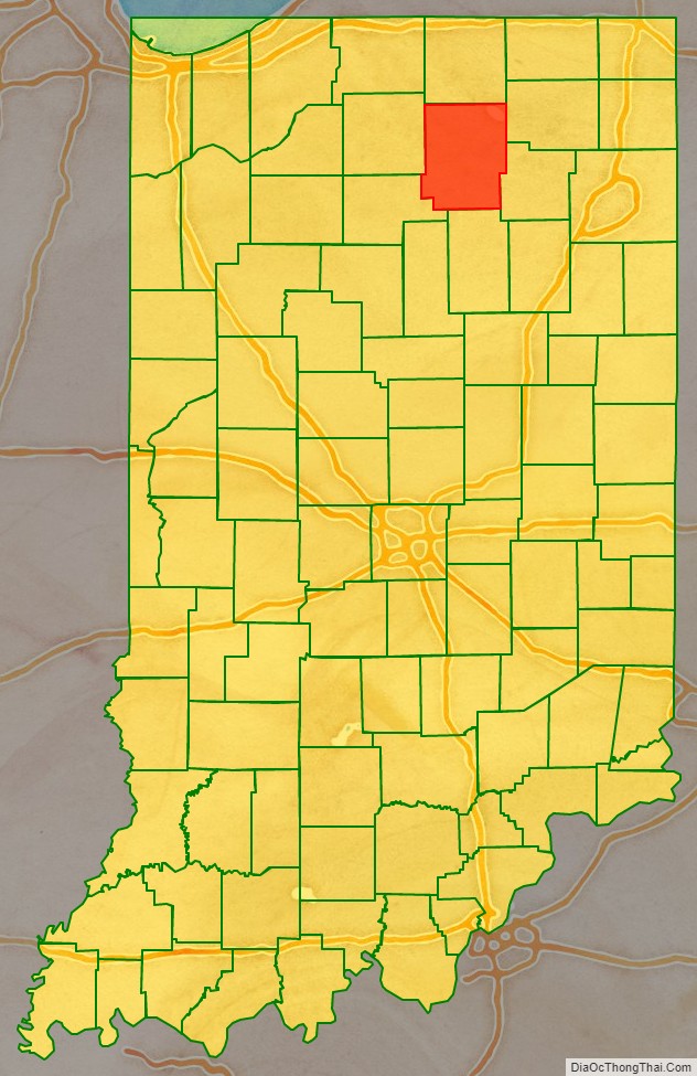
Kosciusko County location map. Where is Kosciusko County?
History
The Indiana State Legislature passed an omnibus county bill on 7 February 1835 that authorized the creation of thirteen counties in northeast Indiana, including Kosciusko. The county government was organized beginning in 1836. The county’s boundary lines have remained unchanged since 1835.
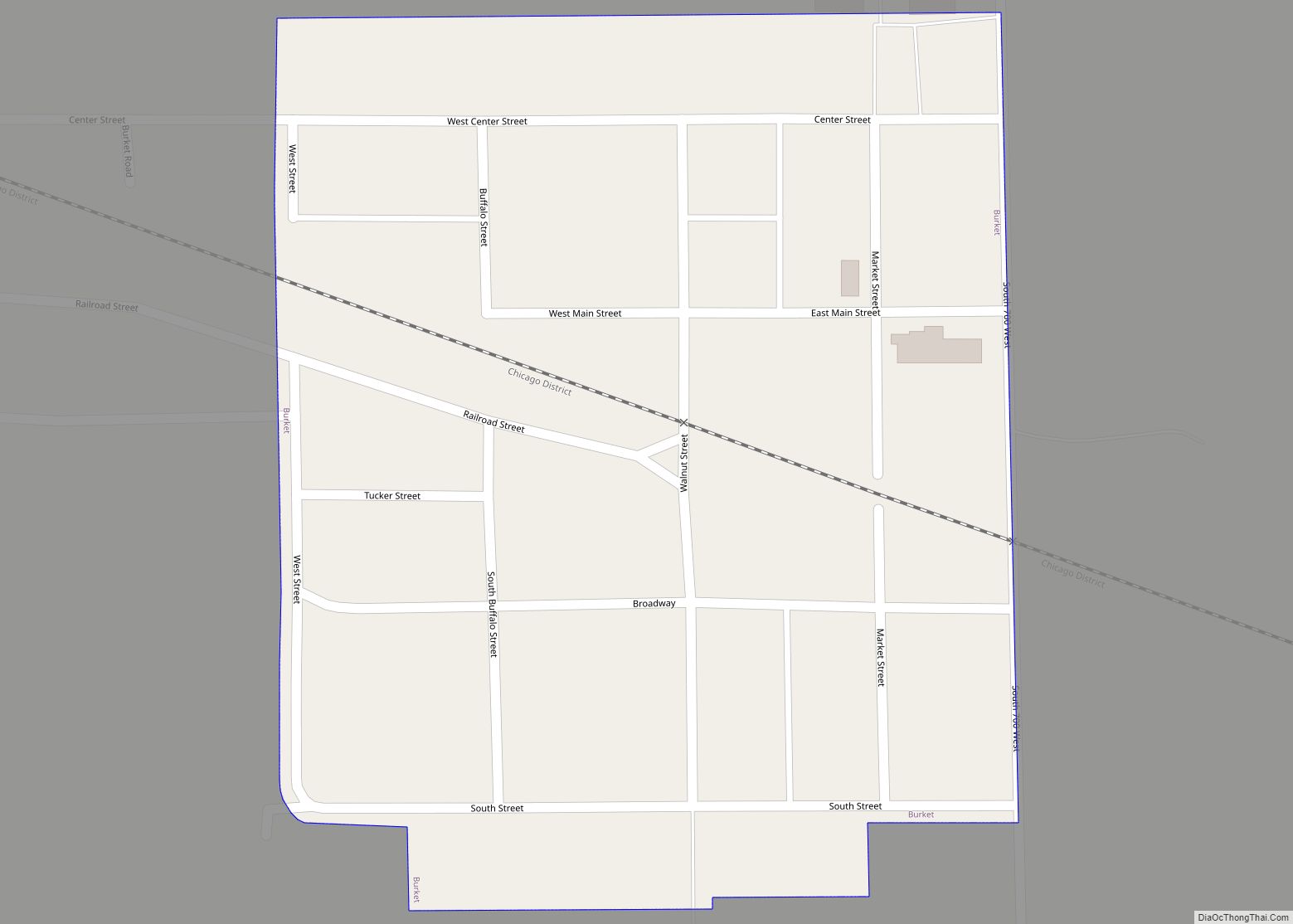
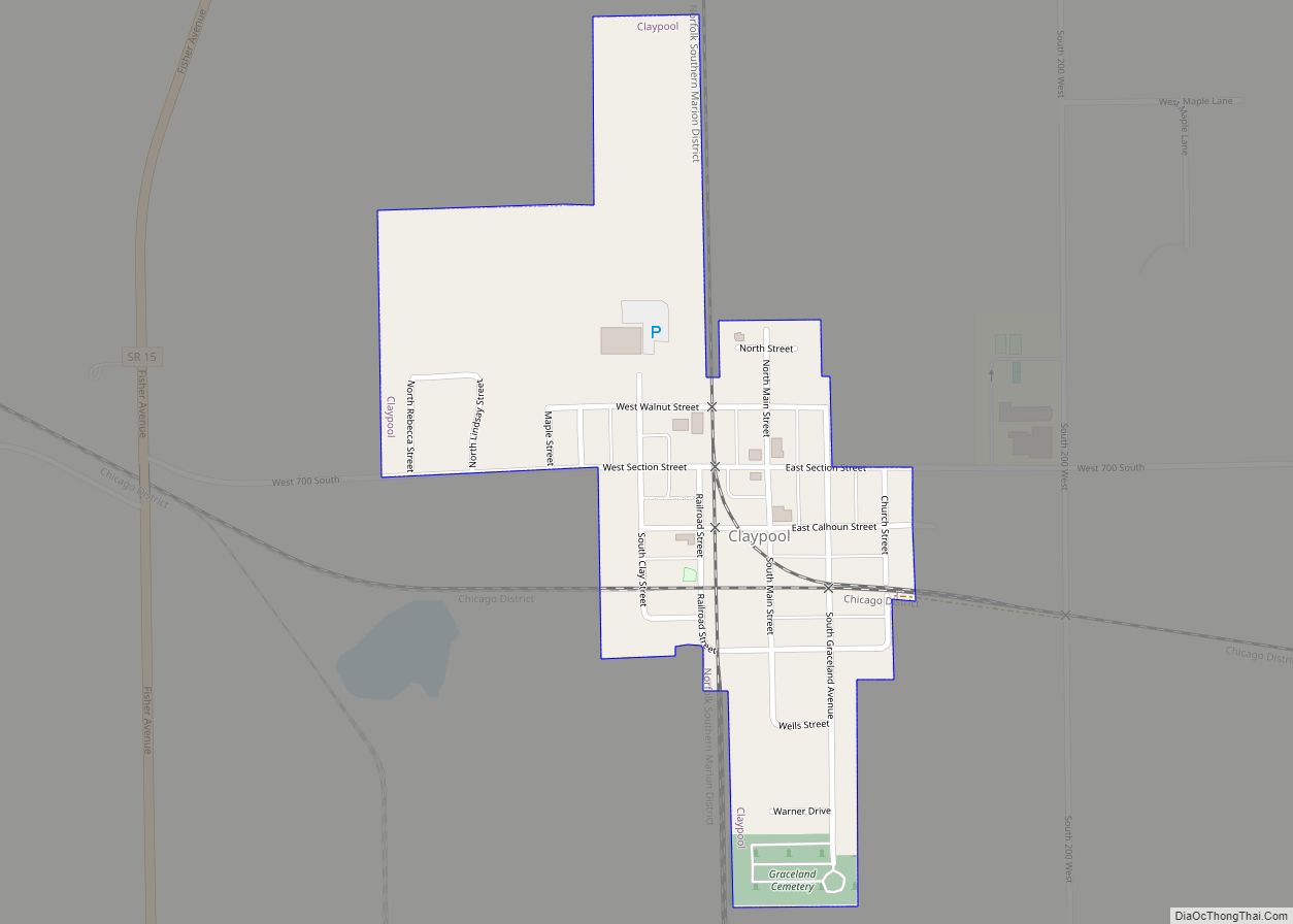
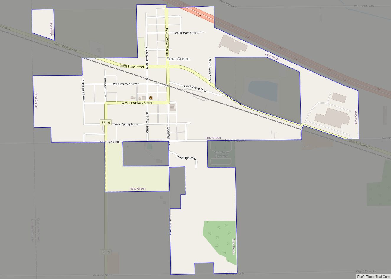
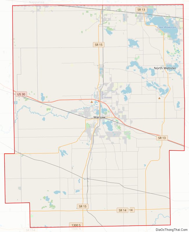
Kosciusko County Road Map
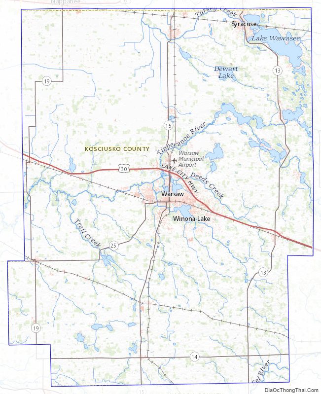
Kosciusko County Topographic Map
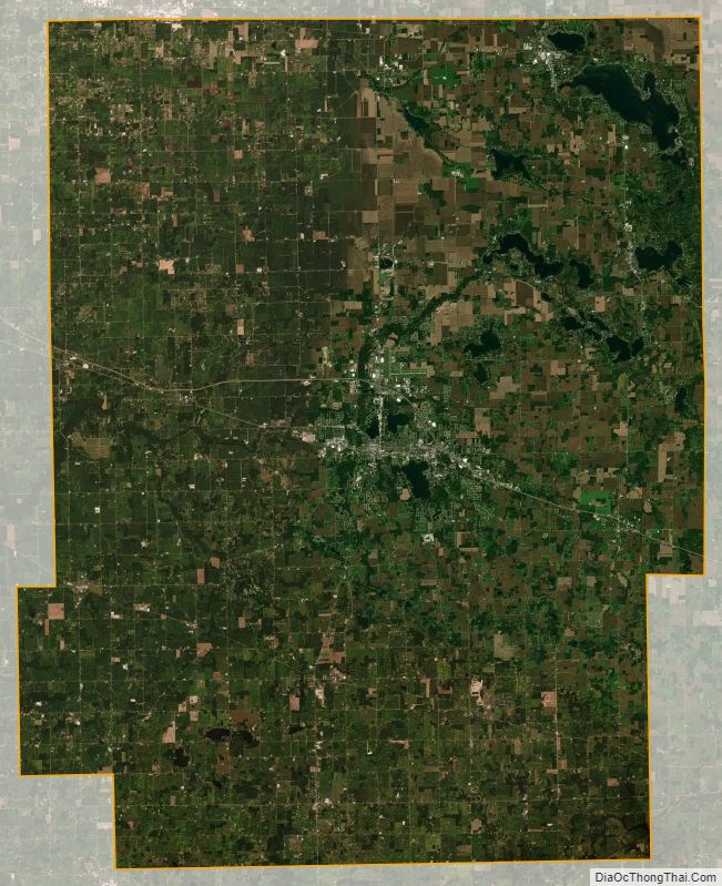
Kosciusko County Satellite Map
Kosciusko County Outline Map