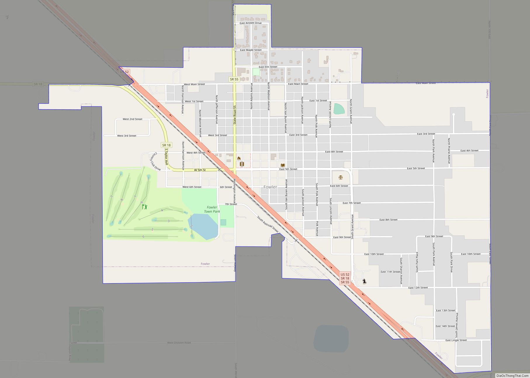
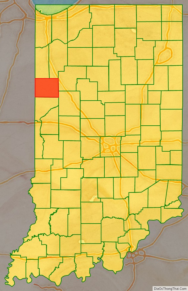
Benton County is located in the northwest part of the U.S. state of Indiana, along the border with Illinois. As of 2010, the county’s population was 8,854. It contains six incorporated towns as well as several small unincorporated settlements; it is divided into 11 townships which provide local services. The county seat is Fowler.
Benton County is part of the Lafayette, Indiana, Metropolitan Statistical Area.
| Name: | Benton County |
|---|---|
| FIPS code: | 18-007 |
| State: | Indiana |
| Founded: | 18 February 1840 |
| Named for: | Senator Thomas H. Benton |
| Seat: | Fowler |
| Largest city: | Fowler |
| Total Area: | 406.51 sq mi (1,052.9 km²) |
| Land Area: | 406.42 sq mi (1,052.6 km²) |
| Population Density: | 21.3/sq mi (8.22/km²) |
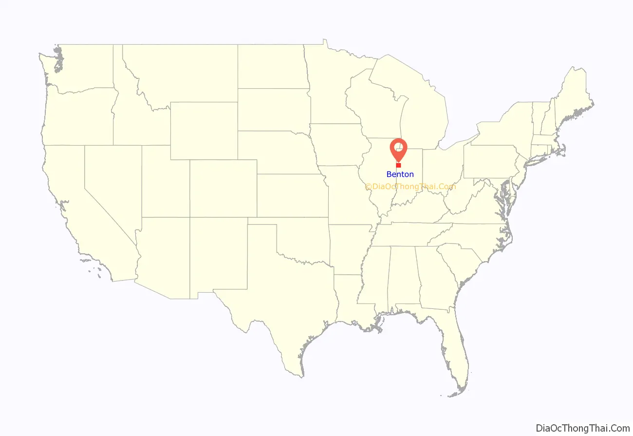
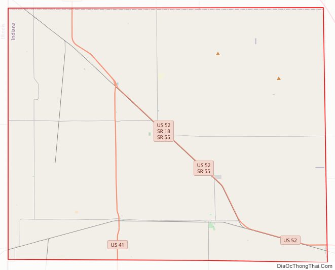
Benton County location map. Where is Benton County?
History
The lands of present NW Indiana were explored by French explorer Robert de LaSalle. At that time the area was inhabited by the Miami Confederation of Indians. Through White settlement, encroachment, and confrontation, the various indigenous groups were forced to cede their claim to the area. In October 1818, the Pottawattamies, Weas, and Delawares ceded their lands west of the Tippecanoe River to the government. In a treaty dated 23 October 1826, the Pottawattamie and Miamis ceded all their lands east of the Tippecanoe. A treaty dated 26 October 1832 with the Pottawattamie ceded control of the northwestern part of Indiana; on 27 October the Pottawattamie of Indiana and Michigan also relinquished all claim to any remaining land in those states.
Before 1832, this area was not open to settlement; previous settlers had taken the southern parts of Ohio, Indiana and Illinois. Northwestern Indiana was also less desirable for farming, being described as alternate swamps, sterile sand ridges and flat, wet prairies, although it did proliferate in game.
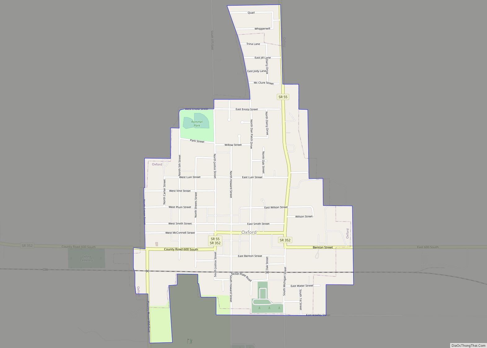
A state legislative act dated 7 February 1835 created two counties in this area, Newton and Jasper. The county governments were not created at that time and the counties were attached to White County for administrative purposes. The Jasper County organization was effected beginning 15 March 1838. On 18 February 1840, the county of Benton was formed from Jasper’s area. It was named for Thomas H. Benton (D), U.S. Senator from Missouri. The original county seat selected in 1843 was Oxford, but after a long struggle between contending factions it was moved to Fowler in 1874.
Courthouse
The current Benton County courthouse, located in Fowler, was designed by Gurdon P. Randall of Chicago and built in 1874 by Levi L. Leach at a cost of $62,257. The new courthouse was an impressive building from an architectural standpoint, but also provided much-needed improvements in security, including large fire-proof vaults. Randall had designed the Marshall County courthouse a few years earlier.
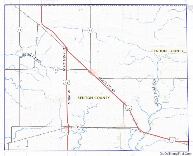
Benton County Road Map
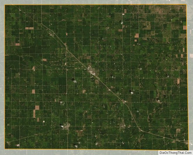
Geography
Benton County lies along the state’s western border with Illinois. It consists of low rolling hills, with all available terrain devoted to agriculture or development. Data gathered from space shuttle measurements list the county’s lowest elevation as 138 meters (453 feet) and its highest elevation as 240 meters (790 feet). However, a knoll 4 miles (6.4 km) NNW of Boswell is shown on official topographic maps as 915 feet (279 meters) ASL.
According to the 2010 census, the county has a total area of 406.51 square miles (1,052.9 km), of which 406.42 square miles (1,052.6 km) (or 99.98%) is land and 0.09 square miles (0.23 km) (or 0.02%) is water.
Adjacent counties
- Newton County – northwest
- Jasper County – northeast
- White County – east
- Tippecanoe County – southeast
- Warren County – south
- Vermilion County, Illinois – southwest
- Iroquois County, Illinois – west
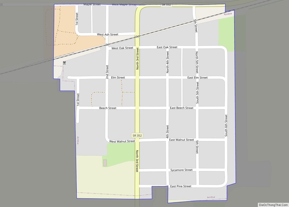
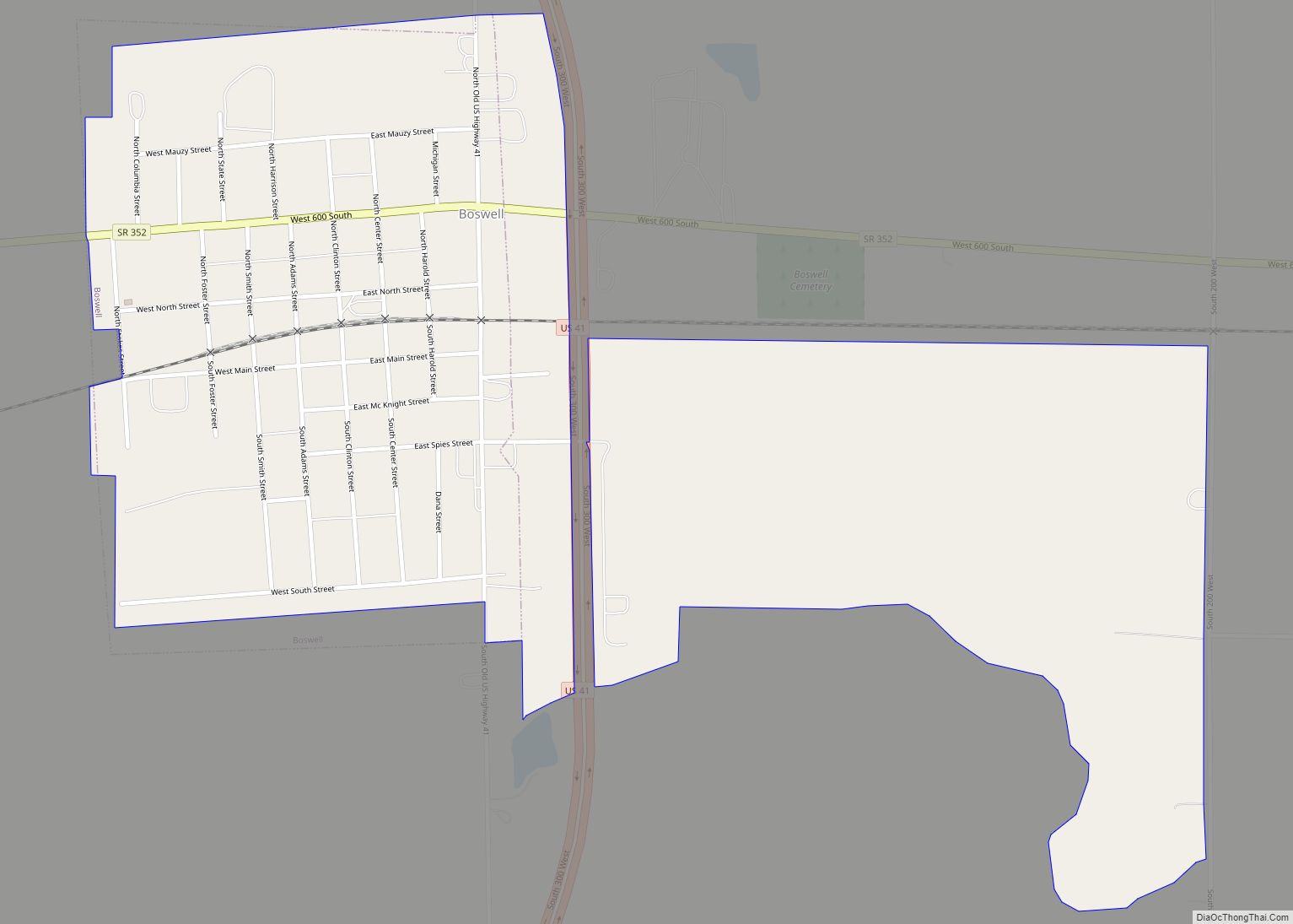
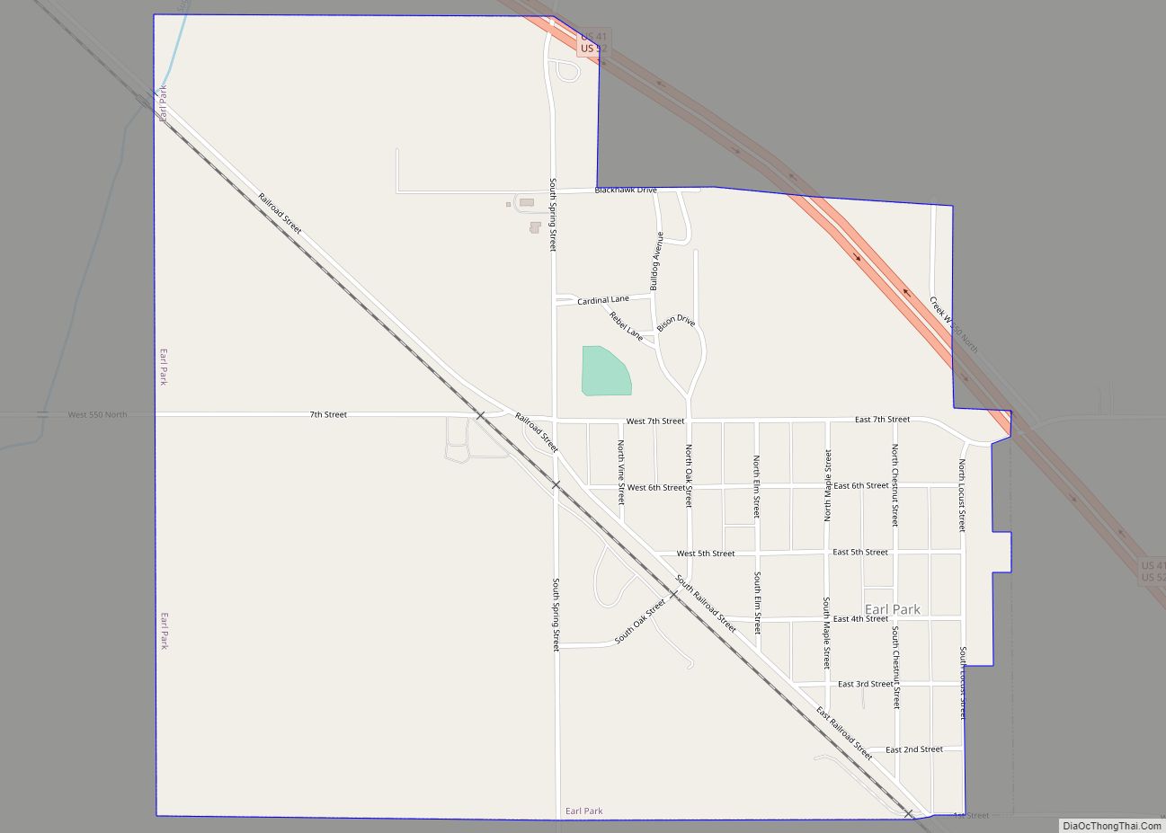
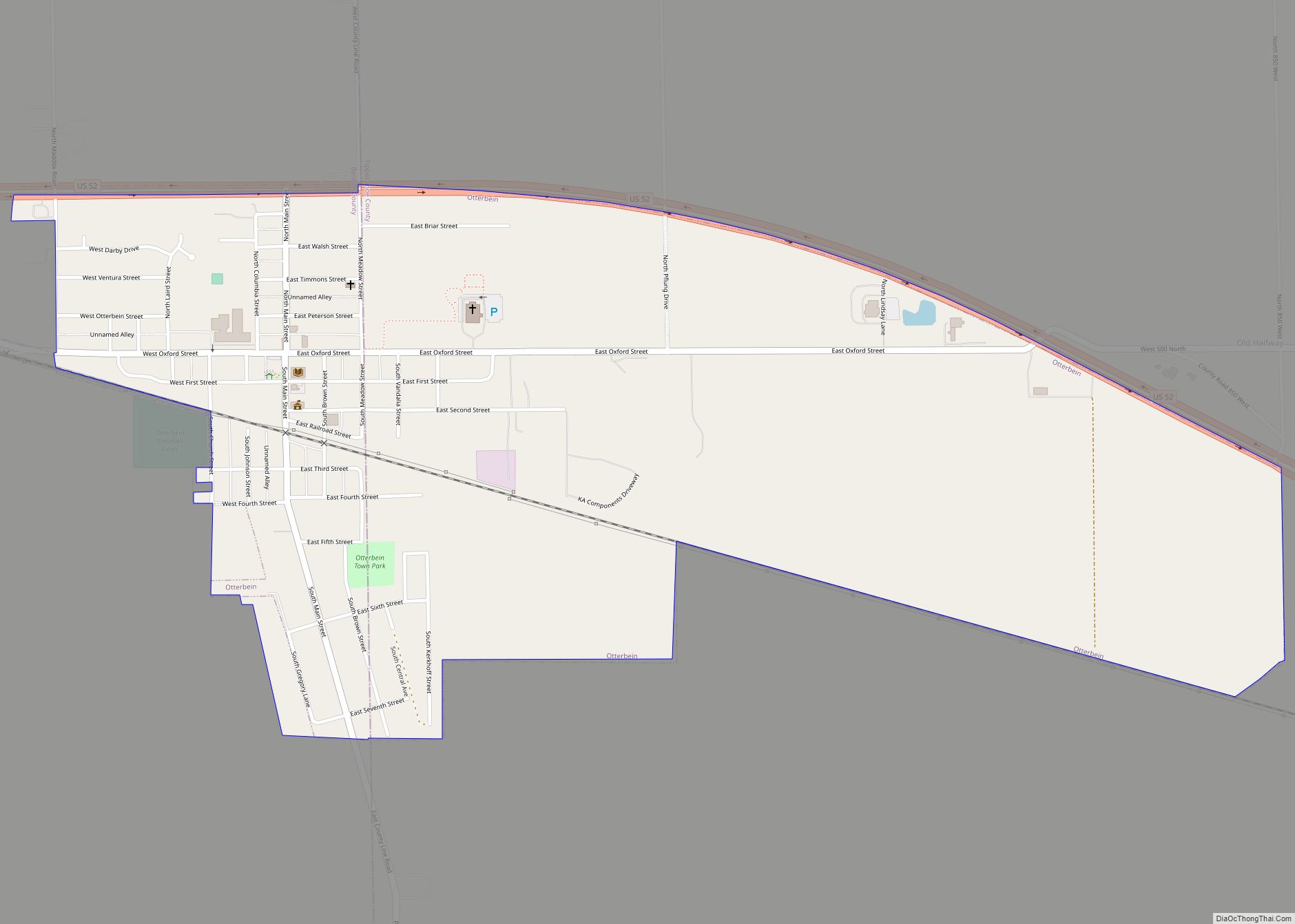
Cities and towns
Unincorporated towns
- Atkinson
- Barce
- Chase
- Dunnington
- Fargo
- Foresman
- Free
- Freeland Park
- Gravel Hill
- Handy
- Lochiel
- Powley Corners (partial)
- Raub
- Swanington
- Talbot
- Templeton
- Wadena
Extinct towns
- Dunn
- Sheff
Townships
- Bolivar
- Center
- Gilboa
- Grant
- Hickory Grove
- Oak Grove
- Parish Grove
- Pine
- Richland
- Union
- York
Major highways
- U.S. Route 52
- U.S. Route 41
- State Road 18
- State Road 55
- State Road 71
- State Road 352
Railroads
- Bee Line Railroad
- Kankakee, Beaverville and Southern Railroad
Benton County Topographic Map
Benton County Satellite Map
Benton County Outline Map